ExploreTravel GuidesPlan a trip
    de|en
    All Places & RegionsAbout FernwehFAQPrivacy PolicyImprint
    ExploreTravel GuidesPlan a trip
    • Neighborhoods & highlights
    • Eat & drink
    • Food culture
    • Culture
    • Getting around
    • Accommodation
    • Plan trip
    • Nearby
    Page
    Ken Lund from Reno, Nevada, USA / Wikimedia Commons / CC BY-SA 2.0

    United States

    Page

    City

    Page is a small town in far northern Arizona, situated directly on the Utah border and the shores of Lake Powell.

    1. Home
    2. Destinations
    3. United States
    4. Arizona
    5. Page
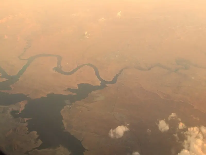
    Page is a small town in far northern Arizona, situated directly on the Utah border and the shores of Lake Powell. Visitors flock here for three prime destinations, consistently ranking high on many Southwest road trip itineraries: Horseshoe Bend, Antelope Canyon, and Lake Powell, home to the Glen Canyon Dam.It's about a four-and-a-half to five-hour drive from both Las Vegas and Phoenix, and roughly three hours from the Grand Canyon South Rim. Plan at least one overnight stay: Horseshoe Bend is most stunning at sunset, Antelope Canyon tours run throughout the day, and a boat trip on the lake is highly recommended.The town itself is modest, offering motels, supermarkets, and a limited selection of restaurants. Yet, it serves as an ideal base, with all key attractions located less than a fifteen-minute drive away.
    Page has around 7,400 residents (2020 Census) and sits at about 1,300 meters on Manson Mesa above Lake Powell's Wahweap Bay. You can reach the compact center with hotels, restaurants, and gas stations within minutes from anywhere, but you'll need a car for excursions. Horseshoe Bend lies about eight kilometers south on US 89, Lower Antelope Canyon east of town on Highway 98, Glen Canyon Dam and Wahweap Marina northwest. Mind the time zones: Arizona, and thus Page, does not observe Daylight Saving Time, but the surrounding Navajo Nation, including Antelope Canyon, does. So, from March to November, it's one hour later there than in Page.

    Sights in Page

    Discover the most important sights and attractions

    Horseshoe Bend
    Attraction

    1Horseshoe Bend

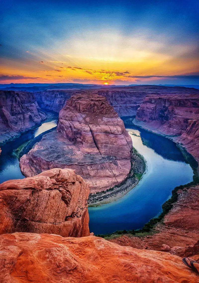
    The Colorado River here forms a 270-degree loop approximately 300 meters below the canyon rim. A paved path leads about 2.4 kilometers (round trip) to the viewpoint; parking costs 10 US dollars per car, NPS passes are not valid.
    Open in Google Maps
    Lower Antelope Canyon
    Cafe

    2Lower Antelope Canyon

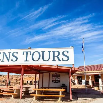
    Narrow slot canyon on Navajo land, accessible only with a guided tour from a Navajo operator like Ken's Tours or Dixie's. Descend into the canyon via five steel staircases; the tour lasts 60 to 90 minutes.
    Open in Google Maps
    Glen Canyon Dam
    Attraction

    3Glen Canyon Dam

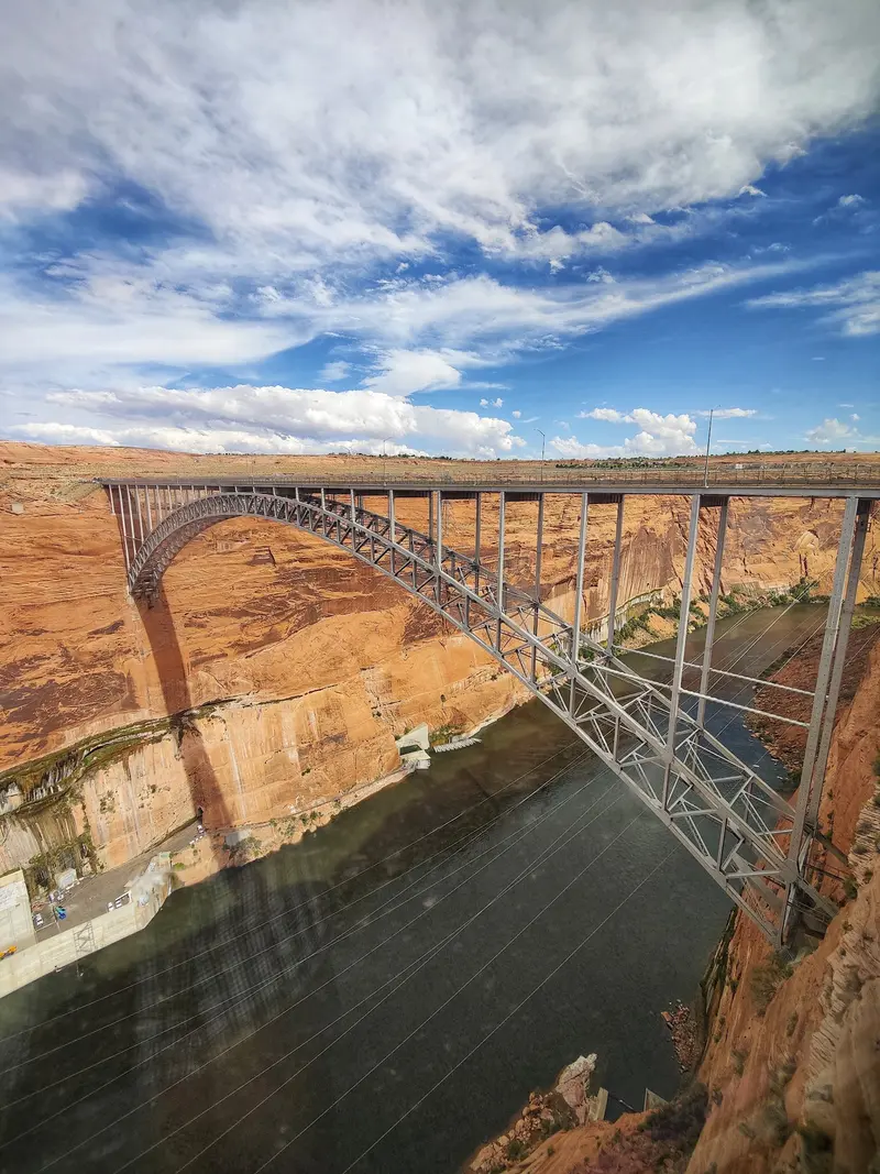
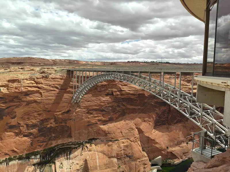
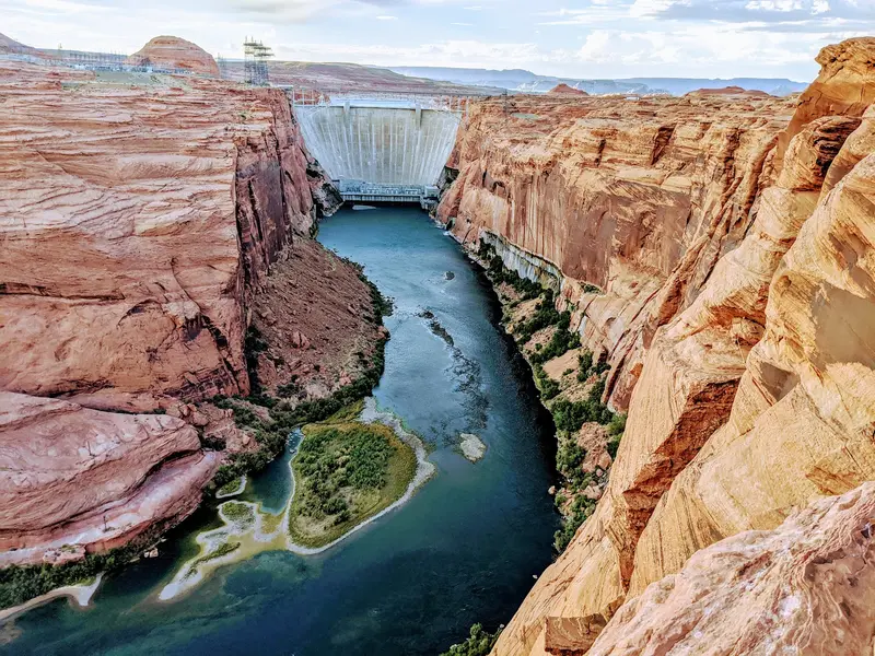
    The arch dam, built 1957-1964, rises 216 meters above the bedrock and dams the Colorado River into Lake Powell. The best views are from the Glen Canyon Dam Bridge and Visitor Center.
    Open in Google Maps
    Carl Hayden Visitor Center
    Attraction

    4Carl Hayden Visitor Center

    Visitor Center directly at the dam, about 210 meters above the river, with an exhibition on the dam's construction and history and Lake Powell. Open daily from 9 AM to 5 PM Mountain Standard Time.
    Open in Google Maps
    Glen Canyon Dam Overlook
    Attraction

    5Glen Canyon Dam Overlook

    Overlook on the canyon rim south of the dam, reachable via a short path. Here, you see the dam, bridge, and the Colorado deep in the canyon.
    Open in Google Maps
    Wahweap Marina
    Attraction

    6Wahweap Marina

    Harbor at the south end of Lake Powell, about nine kilometers from the dam, with accommodations, restaurant, campsite, boat rental, and boat tours on the lake. Entry to Glen Canyon National Recreation Area is required for access.
    Open in Google Maps

    Restaurants in Page

    1

    Big John's Texas BBQ

    Casual barbecue spot in a converted gas station with brisket, pulled pork, sausages, and ribs. The sampler lets you try everything.
    Show on Google Maps
    2

    Birdhouse

    Small spot with fried chicken, Chicken Tenders, Mac and Cheese. Fast, cheap, and popular after a long day.
    Show on Google Maps
    3

    El Tapatio

    Mexican restaurant in Page with classic dishes, a simple alternative to burgers and barbecue.
    Show on Google Maps

    The Food and Drink

    Page isn't a foodie city, but you'll certainly fill up on barbecue, Mexican, and Navajo dishes.

    Navajo Taco

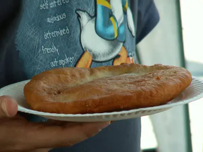
    Deep-fried flatbread with beans, ground beef, lettuce, cheese. Frybread's origin, per Navajo lore, is 1864: government-issued flour, sugar, salt, and lard during 'Long Walk' forced relocation.
    Frybread with Honey

    Frybread with Honey

    The same flatbread, eaten sweet with honey or jam. It's available at food stalls and restaurants in Navajo Land around Page.

    Old sheep meat

    Sheep have been central to the Navajo for generations, providing both wool and sustenance. Mutton is therefore one of the most important meats in traditional Navajo cuisine.
    Texas Barbecue

    Texas Barbecue

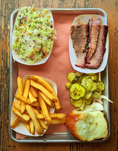
    Smoked brisket, pulled pork, and ribs are surprisingly popular in Page. The best-known spot is Big John's Texas BBQ in a converted gas station.

    History and Culture

    Page is one of Arizona's newest cities. It began in 1957 as a residential camp for Glen Canyon Dam workers, initially called "Government Camp". The government received the land by exchange from the Navajo Nation. The city is named after John C. Page, who headed the Bureau of Reclamation in the 1930s and early 1940s. Page officially became a city in March 1975.The dam was built from 1957 to 1964; Lake Powell began to fill in 1963. With the flooding, the original Glen Canyon, including its side canyons, disappeared underwater, remaining to this day a point of contention between environmentalists and dam supporters.Page is largely surrounded by the Navajo Nation. Antelope Canyon and the Horseshoe Bend area south of the parking lot are on Navajo land; many guides are Navajo. When taking tours, note the time, as the Navajo Nation switches to Daylight Saving Time in summer, but the rest of Arizona does not.

    Getting There & Around

    AirportMost travelers arrive by rental car via Las Vegas or Phoenix. The small Page Municipal Airport (PGA) has only a few commercial flights; check connections and rental car availability early.CarFrom Las Vegas, it's about 450 kilometers, and from Phoenix via Flagstaff, about 430 kilometers, each taking four and a half to five hours. From Grand Canyon South Rim, you drive via Cameron and US 89 for about three hours, and from Sedona, a good three hours.Parking and FeesThe Horseshoe Bend parking lot is owned by the City of Page and costs 10 USD per car, 5 USD per motorcycle; the America the Beautiful Pass is not valid here. For the Glen Canyon National Recreation Area, including Wahweap and the Lake Powell shoreline, you pay 30 USD per vehicle for seven days; the America the Beautiful Pass is valid here. Payments at entrance stations are by card only.Time ZonesLike the rest of Arizona, Page observes Mountain Standard Time year-round. The Navajo Nation, on whose land Antelope Canyon is located, switches to Daylight Saving Time in summer. When booking, check which time zone your tour is listed in and plan for a buffer.Local TravelWithin the city, distances are short, but for all excursions, you'll need a car or a booked tour. Lower Antelope Canyon and Upper Antelope Canyon can only be visited with an authorized Navajo guide.
    Accommodations in Page

    Find perfect stay in Page

    Booking.com* (Affiliate link)
    Search Hotels
    Agoda* (Affiliate link)
    Search Hotels
    Airbnb
    Vacation Rentals

    * Affiliate link: if you book through it, we earn a small commission. The price stays the same for you.

    Campgrounds in Page

    Find perfect campground in Page

    Search via Google Maps
    Campgrounds nearby (15km)
    Camping.info
    Find Campgrounds
    Park4Night
    RV Parks & Camping

    Plan your trip to Page

    Save places, build a route and plan your city trip, all in one place.

    1. 1
      1234

      Round trip

      12 days · 4 stops

      Saved

      Pick a route

      Pick a ready-made one or save places and plan your own.

      Open bookmarks
    2. 2

      Trip to Page

      Live
      • 1Horseshoe Bend3 days
      • 2Lower Antelope Canyon4 days
      • 3Glen Canyon Dam5 days
      Budget

      Plan your trip

      The planner sorts stops, days and budget. Plan together in real time.

      Start trip planning
    3. 3
      9:41 No signal
      Available offline

      Use it on the road

      Download the guide to your phone and use it on site, even offline.

    Nearby

    Grand Canyon National Park

    Grand Canyon National Park

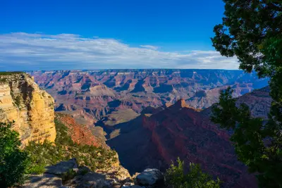
    The Grand Canyon National Park in Arizona protects the 446-kilometer-long canyon of the Colorado River, which is up to 29 kilometers wide and up to 1,857 meters deep. From the South Rim, about a 90-minute drive north of Flagstaff, you'll gaze upon a landscape that has been a UNESCO World Heritage site since 1979.The heart of the South Rim is Grand Canyon Village, home to the Hotel El Tovar, which opened in 1905. Hermit Road extends about 11 kilometers to viewpoints along the rim and is accessible only by shuttle bus from March to November. At Desert View stands the Watchtower, designed by Mary Colter in 1932. On the North Rim, over 2,400 meters high, a wildfire destroyed the Grand Canyon Lodge in 2025; there will be no accommodation there in 2026.Entry costs 35 US dollars per vehicle; visitors without US residency aged 16 and over pay an additional 100 dollars per person. This surcharge is waived with the America-the-Beautiful Pass for non-residents (250 dollars). An entry reservation is not required; payment is by card only.
    Utah

    Utah

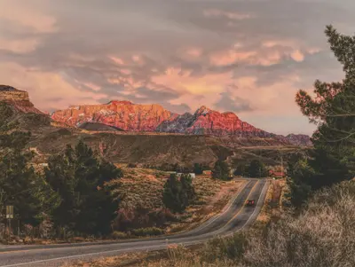
    Utah lies between Nevada, Arizona, Colorado, Wyoming, and Idaho in the heart of the American West. You travel here primarily for the five national parks in the south, known as the "Mighty Five," and for the ski resorts in the Wasatch Mountains near Salt Lake City.The capital, Salt Lake City, hosted the Winter Olympics in 2002, and they will take place again in Utah in 2034. Northwest of the city lies the Great Salt Lake, a remnant of the prehistoric Lake Bonneville. The state is predominantly dry; its highest peak is Kings Peak in the Uinta Mountains.In the south, the parks are close together: Zion with the Narrows of the Virgin River, Bryce Canyon with hundreds of Hoodoos, Capitol Reef along the Waterpocket Fold, as well as Arches and Canyonlands near Moab. Monument Valley and Lake Powell are in the border region with Arizona.
    Sedona

    Sedona

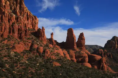
    Sedona is a small town in northern Arizona, surrounded by red sandstone spires, mesas, and canyons. You come for the scenery: Hardly anywhere else in the US Southwest are there so many short, spectacular hikes right on your doorstep, from Cathedral Rock to Devil's Bridge.The town is located about two hours' drive north of Phoenix and roughly an hour south of Flagstaff. This makes it a classic stop on the way to the Grand Canyon, but it deserves at least two full days. In the morning, you hike among the rocks, in the afternoon you cool off in Oak Creek, and in the evening you watch the rock walls glow in the last light.Besides nature, Sedona offers galleries, a striking rock chapel, and a vibrant restaurant scene with Mexican and Southwest cuisine. Plan early in the day, as the popular parking lots at the trailheads fill up quickly.
    Arizona

    Arizona

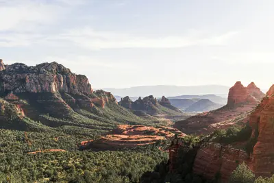
    Arizona is located in the Southwest USA, bordering California, Nevada, Utah, New Mexico, and Mexico. You travel here for the Grand Canyon, the red rock landscapes in the north, and the Sonora Desert with its Saguaro cacti around Phoenix and Tucson.The capital, Phoenix, is also the largest city. The lower-lying south has a desert climate with hot summers, while the Colorado Plateau in the north is cooler and gets snow in winter. The highest peak is Humphreys Peak near Flagstaff, at 3,852 meters. A large part of the northeast is occupied by the Navajo Nation, the largest tribal nation in the USA. Its territory includes Monument Valley and Antelope Canyon.Besides the Grand Canyon, Arizona has two other national parks: Petrified Forest, featuring petrified wood approximately 225 million years old, and Saguaro near Tucson. Sedona is known for its red sandstone formations.
    Downtown and Fremont Street

    Downtown and Fremont Street

    Downtown is the old Las Vegas: The first casinos were located here, long before resorts grew on the Strip. The Golden Nugget opened in 1946, and even today, casinos line Fremont Street, appearing smaller, louder, and more affordable than their rivals to the south.Since 1995, a roughly 420-meter-long and 27-meter-high barrel vault canopy has spanned four city blocks. The Fremont Street Experience was updated in 2019 with over 49 million LEDs; in the evenings, light and music shows run on it, with bands playing on three stages. Beneath the canopy, people zip past on the SlotZilla zipline. The latest addition is Circa, which opened in 2020, an adults-only hotel with a massive sportsbook and a rooftop pool amphitheater. East of Las Vegas Boulevard, Fremont East begins, featuring bars, the Downtown Container Park, and the neon bar Atomic Liquors.During the day, two museums are worth visiting: The Mob Museum, housed in the former 1933 federal courthouse, tells the story of organized crime, while the Neon Museum displays over 200 decommissioned city signs.Come in the late afternoon, visit one of the museums, and stay for dinner and the first light show. Downtown is more compact than the Strip; almost everything is within walking distance.