Fernweh: Home
    ExploreTravel GuidesPlan a tripMy tripLast visited
    de|en
    All Places & RegionsAll highlightsAbout FernwehFAQPrivacy PolicyImprint
    ExploreTravel GuidesPlan a tripMy tripLast visited
    • Neighborhoods & highlights
    • Recommendations
    • Eat & drink
    • Food culture
    • Culture
    • Getting around
    • Accommodation
    • Plan trip
    • Nearby
    Puerto Nariño
    Gatocalvo / Wikimedia Commons / CC BY-SA 4.0

    Colombia

    Puerto Nariño

    City

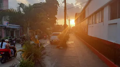
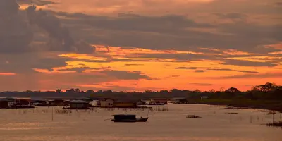
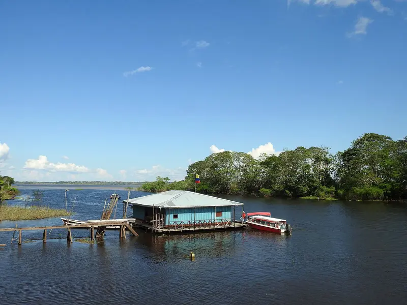
    Puerto Nariño is a car-free village on the Amazon, 2 boat hours upstream from Leticia. You come for Lagos de Tarapoto, where pink and grey river dolphins live, and the rainforest's peace.

    by Felix Gillen

    1. Home
    2. Destinations
    3. Colombia
    4. Amazônia
    5. Puerto Nariño
    Puerto Nariño is a car-free village on the Amazon, 2 boat hours upstream from Leticia. You come for Lagos de Tarapoto, where pink and grey river dolphins live, and the rainforest's peace. The town, with around 8,000 inhabitants, has no cars, motorbikes or large buildings; you walk everywhere.

    Sights in Puerto Nariño

    Discover the most important sights and attractions
    Lake Tarapoto
    Attraction

    1Lake Tarapoto

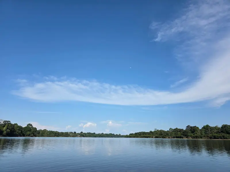
    Lake area, about half an hour by boat from Puerto Nariño, home to pink and grey river dolphins. At low water between August and October, chances for dolphins are lower.
    Open in Google Maps
    Fundación Natütama
    Museum

    2Fundación Natütama

    Non-profit foundation working with the community of Puerto Nariño on research, environmental education, and species conservation. The visitor center displays the flooded rainforest through life-sized wooden carvings by local artisans, featuring river dolphins and otters. Entry by donation, closed midday.
    Open in Google Maps

    Restaurants in Puerto Nariño

    1

    Las Margaritas

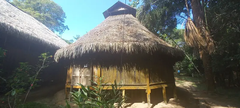
    Well-known restaurant in town with regional cuisine under a large palm roof, a great spot for Amazonian fish.
    Show on Google Maps

    Food & Drink in Puerto Nariño

    In the Amazon village, families cook according to indigenous tradition using river fish, yuca, and leaves from the forest. The recipes originate from peoples like Tikuna, Cocama, and Yagua.

    Moqueado

    Fish, wrapped in leaves, buried in the sand and cooked with fire over it. Served with plantain, yuca, and fariña.

    Patarashca

    Fisch aus dem Amazonas, in ein Bijao-Blatt gewickelt und auf dem Grill gegart.

    Casabe

    Flat, crispy flatbread made from yuca starch, eaten in the Amazon in place of wheat bread. It also accompanies broths of stream fish with Ají.

    Fariña

    Roasted flour from bitter yuca, the region's staple side dish. Alongside grilled fish, yuca and spicy Ají are also served.

    Loretoyacu Communities

    Ticuna, Cocama, and Yagua live around Puerto Nariño. The town was founded in 1961 and has been its own municipality since 1984.Life Without Cars: There are no paved roads; people walk on footpaths.Cash: There is no bank and hardly any card payment. Bring enough cash from Leticia.Internet: The connection is slow; do important things beforehand.

    Getting There & Around

    Boat from Leticia: The only way is upstream, approx. 2 hours with stops in communities.On-site: Everything by foot. To the Lagos de Tarapoto you travel by boat, sources mention about half an hour.

    Accommodations in Puerto Nariño

    Find perfect stay in Puerto Nariño

    Booking.com* (Affiliate link)
    Search Hotels
    Agoda* (Affiliate link)
    Search Hotels
    Airbnb
    Vacation Rentals

    * Affiliate link: if you book through it, we earn a small commission. The price stays the same for you.

    Plan your trip to Puerto Nariño

    Save places, build a route and plan your city trip, all in one place.

    1. 1
      Sunrise over alpine peaks and a sea of clouds
      1234

      Round trip

      12 days · 4 stops

      Saved

      Pick a route

      Pick a ready-made one or save places and plan your own.

      Open bookmarks
    2. 2

      Trip to Puerto Nariño

      Live
      • 1Lake Tarapoto3 days
      • 2Fundación Natütama4 days
      Budget

      Plan your trip

      The planner sorts stops, days and budget. Plan together in real time.

      Start trip planning
    3. 3
      9:41 No signal
      Puerto Nariño
      Available offline

      Use it on the road

      Download the guide to your phone and use it on site, even offline.

    Nearby

    Leticia

    Leticia

    Leticia is the capital of the Amazonas Department and Colombia's gateway to the Amazon, approximately 2 flight hours southeast of Bogotá. From here, boat tours embark for Isla de los Micos, Puerto Nariño, and Amacayacu National Park. This small town, with around 48,000 inhabitants (2018 Census), sits directly on the border with Brazilian Tabatinga, while Peru begins on the opposite riverbank. In the evenings, the town congregates at Parque Santander, as thousands of parakeets fly in to roost.
    Amazônia

    Amazônia

    The Amazonas Department is located in the southernmost part of Colombia, where the country borders Brazil and Peru. You come here for the Amazon rainforest, river dolphins, and indigenous communities. The starting point is the capital Leticia, which you reach by flight from Bogotá.

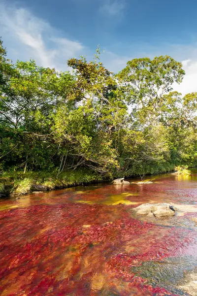
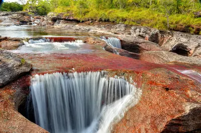
    Caño Cristales is a river in the Sierra de La Macarena National Park in the Meta Department, accessible by flight to La Macarena. Between June and November, the aquatic plant Macarenia clavigera dyes its bed red, complemented by green, yellow, and black hues. The river is a succession of rapids, cascades, and pools that flow into the Río Guayabero.
    Sierra de La Macarena

    Sierra de La Macarena

    The Sierra de La Macarena is a mountain range in the Meta Department, south of Villavicencio, where the Andes, Orinoco savannas, and Amazon meet. It is known for Caño Cristales, a river that a water plant colors red during the rainy season. The starting point is the small town of La Macarena, which you reach by flight.
    San Agustín

    San Agustín

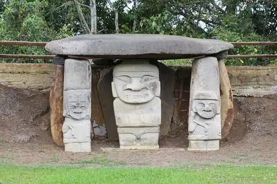
    San Agustín is a small town in the south of the Huila Department, near the source of the Río Magdalena. You travel here for the Archaeological Park with its stone statues, a UNESCO World Heritage site since 1995, and for the Estrecho del Magdalena canyon. The park lies approximately 2 km from the town at an elevation of about 1,730 m. Check the current UK FCDO travel advice before your trip.

    Sources & method

    • Photos: Wikimedia Commons, Google Maps. Each photo carries its credit.
    • Place data such as addresses and ratings comes from Google Maps.
    • The content is based on web research from public, traceable sources. How the content is made · The role of AI