Colombia
Amazônia
Region
The Amazonas Department is located in the southernmost part of Colombia, where the country borders Brazil and Peru. You come here for the Amazon rainforest, river dolphins, and indigenous communities.
by Felix Gillen
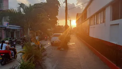
The Amazonas Department is located in the southernmost part of Colombia, where the country borders Brazil and Peru. You come here for the Amazon rainforest, river dolphins, and indigenous communities. The starting point is the capital Leticia, which you reach by flight from Bogotá.
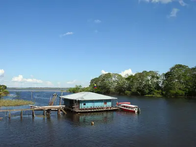
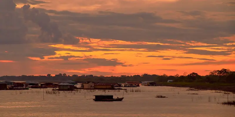
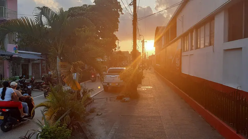
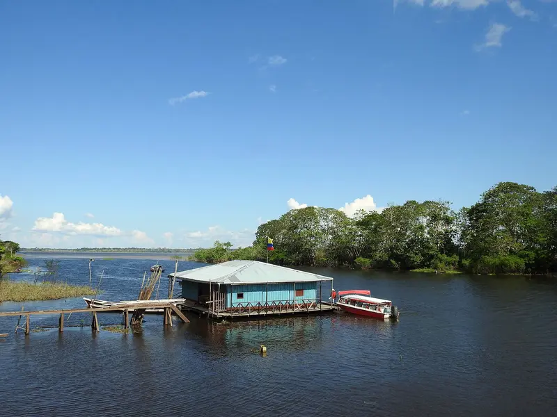
Colombia's Amazon region is not accessible by land from the country's interior. Goods and travelers arrive in Leticia by plane or via the river. Leticia, together with Brazilian Tabatinga, forms a contiguous border area; Peru is located on the opposite river bank.River, Lakes and Protected AreasUpstream are the Isla de los Micos, Amacayacu National Park, and the car-free village of Puerto Nariño with the Lagos de Tarapoto, where pink and grey river dolphins live. According to Parques Nacionales, Amacayacu has been reopened for ecotourism since April 2022, in cooperation with the indigenous communities of San Martín de Amacayacu and Mocagua.Among others, the Ticuna, Cocama, and Yagua live in the region. Many excursions lead to their communities; bookings are handled by local operators.
Food & Drink in the Amazon
Amazonian cuisine is based on river fish, yuca and rainforest fruits; many dishes come from indigenous peoples such as the Tikuna. Fariña and Casabe replace bread.
Pirarucú
One of Earth's largest freshwater fish, also known as Paiche, and the region's most typical. On menus, it's served grilled or as Chicharrón in small fried pieces.
Fariña
Roasted bitter yuca flour, soaked and grated three days prior. Accompanies almost every fish dish.
Moqueado
Fish, wrapped in leaves and cooked under a fire in the sand. Served with plantain, yuca, and fariña.
Copoazú and Camu Camu
Two rainforest fruits, usually drunk as juice: Camu Camu tastes sour, Copoazú sweet. Copoazú also creates a popular cream with cream, condensed milk, and cinnamon.
Best Time to Visit
When is the best time for your trip?
25–26°C·158–221 mm(heavy rain)
In Leticia, it's warm and humid all year, around 26 degrees. Rainfall is lowest from June to September, at 160 to 220 mm per month, while December to April each see approximately 330 to 380 mm.
Der Wasserstand des Amazonas prägt die Ausflüge: Laut Reiseberichten ist der Wald etwa von November bis Mai überflutet und per Boot erreichbar, von August bis Oktober fällt der Fluss und Pfade werden begehbar. Die genauen Zeiten schwanken von Jahr zu Jahr.
Seasons
Jan
Feb
Mar
Apr
May
Jun
Jul
Aug
Sep
Oct
Nov
Dec
Rainy season, floods
Interim period
Lower Rainfall
Best Time to Visit
▶Show detailed monthly data
| Month | Temp (°C) | Rain (mm) | Sun (h) |
|---|---|---|---|
| January | 26.0 | 367 | 4.3 |
| February | 26.0 | 355 | 4.1 |
| March | 26.1 | 358 | 4.2 |
| April | 26.0 | 376 | 4.7 |
| May | 25.7 | 302 | 4.7 |
| June | 25.1 | 190 | 4.9 |
| July | 25.1 | 158 | 6.1 |
| August | 25.7 | 158 | 6.4 |
| September | 26.1 | 221 | 5.9 |
| October | 26.3 | 257 | 5.5 |
| November | 26.3 | 318 | 5.2 |
| December | 26.0 | 330 | 4.5 |
Culture of the Amazon
Ticuna, Cocama, and Yagua shape the region. The Museo Etnográfico del Hombre Amazónico in Leticia showcases their cosmology, hunting, fishing, and traditional medicine.Cuisine: River fish like Gamitana, Paiche, and Tucunaré, plus casabe made from manioc.Border Life: Between Leticia and Tabatinga, you usually move freely, and both currencies are accepted.
Arrival and On the Road
Flight: From Bogotá to Leticia, approx. 2 hours, with airlines like Avianca. No road connection to the rest of Colombia.Boat: From Leticia, speedboats travel upstream to Puerto Nariño, approx. 2 hours.Health: The Foreign Office reports a high malaria risk in the rainforest and recommends yellow fever vaccination for areas below 2,300 m.