Fernweh: Home
    ExploreTravel GuidesPlan a tripMy tripLast visited
    de|en
    All Places & RegionsAll highlightsAbout FernwehFAQPrivacy PolicyImprint
    ExploreTravel GuidesPlan a tripMy tripLast visited
    • Neighborhoods & highlights
    • Recommendations
    • Eat & drink
    • Accommodation
    • Plan trip
    • Nearby
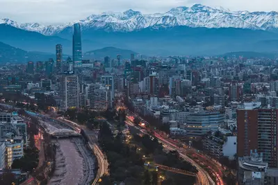
    Ciudad de Mendoza / Wikimedia Commons / CC BY-SA 4.0

    Argentina

    City

    Mendoza is the capital of the eponymous wine province and lies like an oasis in a dry valley at the foot of the Andes.

    by Felix Gillen

    1. Home
    2. Destinations
    3. Argentina
    4. Mendoza and the Andes
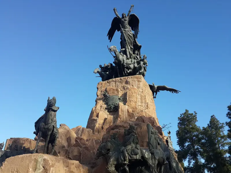
    Mendoza is the capital of the eponymous wine province and lies like an oasis in a dry valley at the foot of the Andes. After the devastating earthquake of March 20, 1861, it was rebuilt a short distance from the old colonial city: with wide streets, low-rise houses, shady avenues, and open irrigation channels, the Acequias, along the sidewalks. The heart of the city is the Plaza Independencia, surrounded by four smaller squares, including the tile-decorated Plaza España.To the west lies the extensive Parque General San Martín with a lake and rose garden; on the Cerro de la Gloria, a bronze monument commemorates the Army of the Andes, with which General San Martín marched from here to Chile in 1817. Surrounding the city are the wine regions: Maipú, which is easily explored by bike, Luján de Cuyo with many well-known Malbec wineries, and, about an hour and a half's drive south, the high-altitude Valle de Uco. Every year in early March, the city celebrates the Fiesta Nacional de la Vendimia, the grand Grape Harvest Festival.

    Sights in

    Discover the most important sights and attractions

    Plaza Independencia

    1Plaza Independencia

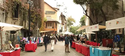
    The city's largest square centers Mendoza, rebuilt after the 1861 earthquake. Surrounding it are four smaller squares, including the tiled Plaza España. The square features a fountain and the Teatro Independencia; an artisan market is held here on weekends.
    Open in Google Maps
    Parque General San Martín and Cerro de la Gloria

    2Parque General San Martín and Cerro de la Gloria

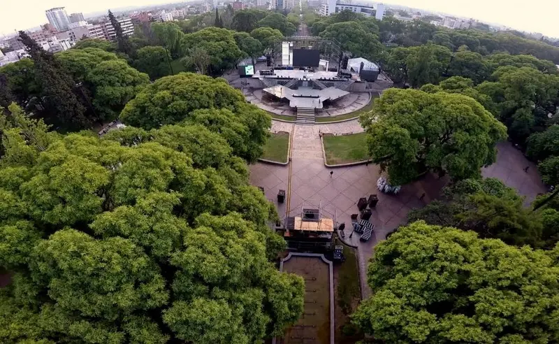
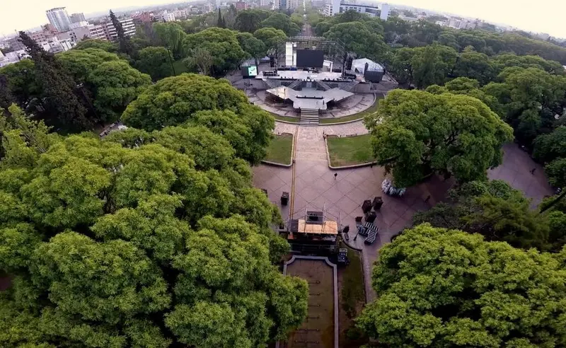
    The park, laid out in 1896 on the western edge of the city, includes a rowing lake, a rose garden, and the campus of the Universidad Nacional de Cuyo. A path leads up to the Cerro de la Gloria, where a large bronze monument commemorates the Army of the Andes, with which General San Martín crossed the Andes to Chile in 1817. From the top, you look out over the park and the city.
    Open in Google Maps
    Foundational Area

    3Foundational Area

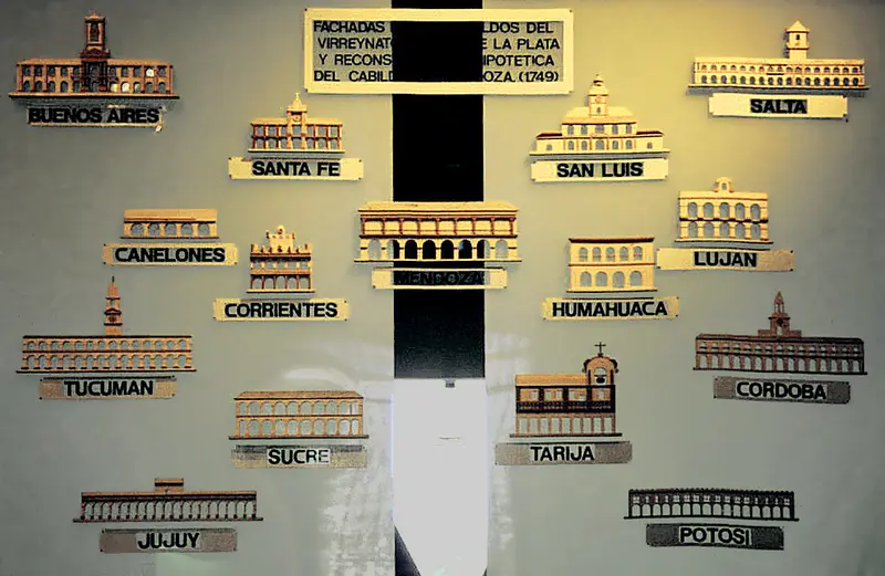
    At Plaza Pedro del Castillo lay the center of the colonial city, which was destroyed by the earthquake of March 20, 1861. A museum shows with models, photos, and artifacts how Mendoza looked before and after the quake; ruins of the old city can be seen all around.
    Open in Google Maps

    Restaurants in

    1

    Fuente y Fonda

    Opposite Plaza Italia, comfort food is served on large, shareable platters, such as Milanesa or Bondiola with sweet potato puree. The eatery pays homage to grandmothers' cuisine and boasts a retro interior. A reservation is recommended in the evening.
    Show on Google Maps
    2

    Bigalia Pizza Napolitana

    The pizzeria on Avenida Sarmiento adheres to Neapolitan tradition: sourdough with 48 hours fermentation, few ingredients, and a hot oven which you can see through the open kitchen. It’s best to order the Margherita.
    Show on Google Maps
    3

    La Marchigiana Center

    The family restaurant began with Nonna Fernanda, who came to Mendoza from the Italian Marche in 1948; today, her children, grandchildren, and great-grandchildren run it. Serving Italo-Argentine cuisine with many homemade pastas and sauces, plus wines from Mendoza.
    Show on Google Maps

    Accommodations in

    Find perfect stay in

    Booking.com* (Affiliate link)
    Search Hotels
    Agoda* (Affiliate link)
    Search Hotels
    Airbnb
    Vacation Rentals

    * Affiliate link: if you book through it, we earn a small commission. The price stays the same for you.

    Plan your trip to

    Save places, build a route and plan your city trip, all in one place.

    1. 1
      Sunrise over alpine peaks and a sea of clouds
      1234

      Round trip

      12 days · 4 stops

      Saved

      Pick a route

      Pick a ready-made one or save places and plan your own.

      Open bookmarks
    2. 2

      Trip to

      Live
      • 1Plaza Independencia3 days
      • 2Parque General San Martín and Cerro de la Gloria4 days
      • 3Foundational Area5 days
      Budget

      Plan your trip

      The planner sorts stops, days and budget. Plan together in real time.

      Start trip planning
    3. 3
      9:41 No signal
      Available offline

      Use it on the road

      Download the guide to your phone and use it on site, even offline.

    Nearby

    Mendoza and the Andes

    Mendoza and the Andes

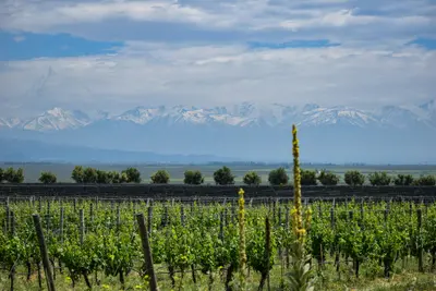
    Mendoza Province at the foot of the Andes is Argentina's most significant wine region: This is where most of the country's grapes grow, primarily Malbec. In a dry valley where only a small part of the soil is cultivable, irrigation channels make the landscape green. West of the capital, the road to Chile ascends to Aconcagua, the highest mountain in the Americas.The region is most pleasant in autumn, when the grape harvest runs from late February to April, and in spring from September to November.
    Aconcagua Provincial Park

    Aconcagua Provincial Park

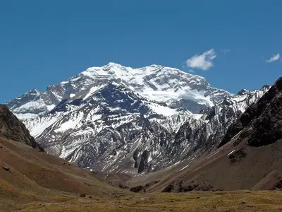
    Aconcagua, at 6,961 meters, is the highest mountain in the Americas. The provincial park protecting it is located about 180 kilometers west of Mendoza on Ruta Nacional 7 towards Chile, just past Puente del Inca and approximately 15 kilometers before the border. The drive there passes the Potrerillos reservoir and through the Andean village of Uspallata.Even without summit ambitions, a visit is worthwhile: A short circular trail leads to Laguna de Horcones with views of the massive south face; those with more time can hike in a day to the first base camp, Confluencia. For all trails, you need a permit, which you acquire in advance. The main season for trekking and ascents runs from mid-November to mid-March. Just before the park, a stop at Puente del Inca, a natural rock bridge over the river, is recommended.
    Providencia

    Providencia

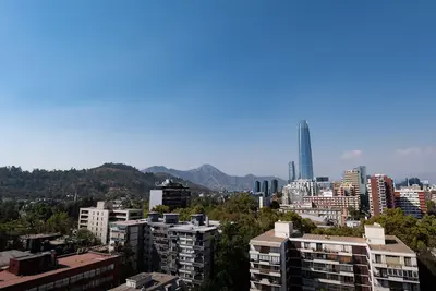
    Providencia is an independent commune east of the city center and one of Santiago's most pleasant residential and commercial districts. Tree-lined streets, parks along the Mapocho, numerous restaurants and excellent Metro connections make it a practical base for visitors.
    Bellavista

    Bellavista

    The district at the foot of Cerro San Cristóbal, north of the Río Mapocho, is known for colorful house facades, murals, and a bustling bar and restaurant scene. Here are Pablo Neruda's house La Chascona and the lower station of the funicular up the city hill.
    Barrio Lastarria

    Barrio Lastarria

    This small historic district between Cerro Santa Lucía and Parque Forestal is one of Santiago's most popular going-out neighborhoods. The streets around the cobblestone Calle José Victorino Lastarria are lined with cafés, wine bars, bookstores, and cultural institutions such as GAM and MAVI.

    Sources & method

    • Photos: Wikimedia Commons, Google Maps. Each photo carries its credit.
    • Place data such as addresses and ratings comes from Google Maps.
    • The content is based on web research from public, traceable sources. How the content is made · The role of AI