ExploreTravel GuidesPlan a trip
    de|en
    All Places & RegionsAbout FernwehFAQPrivacy PolicyImprint
    ExploreTravel GuidesPlan a trip
    Lake Tahoe

    United States

    Lake Tahoe

    Point of Interest

    Lake Tahoe is North America's largest alpine lake, situated at 1,897 meters in the Sierra Nevada, on the border between California and Nevada, about a two-hour drive east of Sacramento.

    1. Home
    2. Destinations
    3. United States
    4. California
    5. Lake Tahoe
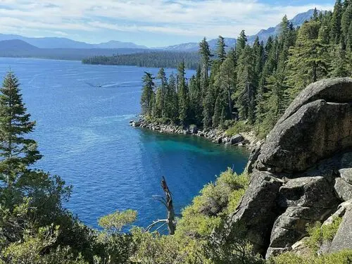
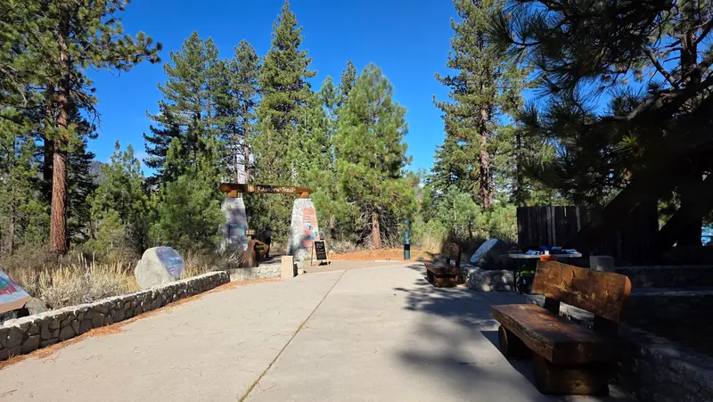
    Lake Tahoe is North America's largest alpine lake, situated at 1,897 meters in the Sierra Nevada, on the border between California and Nevada, about a two-hour drive east of Sacramento. You come for the deep blue, clear waters, the granite coves, and a shoreline that combines hiking, swimming, and paddling in summer with skiing in winter.At up to 501 meters deep, it's the second-deeperest lake in the USA, after Crater Lake. Approximately two-thirds of the lake and its shore belong to California, one-third to Nevada. The Californian highlight is Emerald Bay with Vikingsholm Castle; on the south shore, the Heavenly Gondola takes you high above the lake.Plan at least two days, and set aside a full day for a scenic drive around the lake. In peak summer, parking at popular coves is often full by morning.

    Sights in Lake Tahoe

    Discover the most important sights and attractions

    Eagle Falls
    Park

    1Eagle Falls

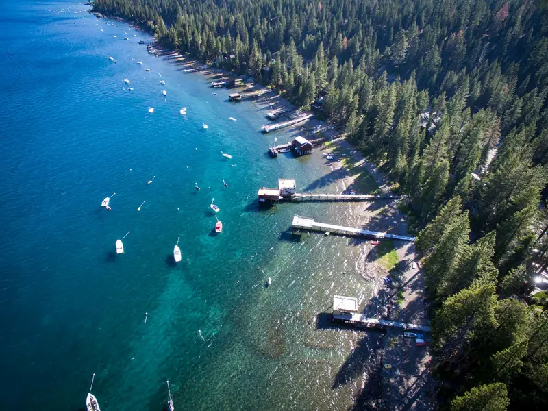
    The lower waterfall is just a few minutes' walk from Highway 89 above Emerald Bay. If you want to continue, hike up to Eagle Lake.
    Open in Google Maps
    D. L. Bliss State Park
    Park

    2D. L. Bliss State Park

    Granite cliffs, small sandy coves like Lester Beach, and the Balancing Rock characterize the park on the west shore. Here begins the Rubicon Trail, which runs for almost 12 kilometers around Emerald Bay.
    Open in Google Maps
    Emerald Bay State Park
    Park

    3Emerald Bay State Park

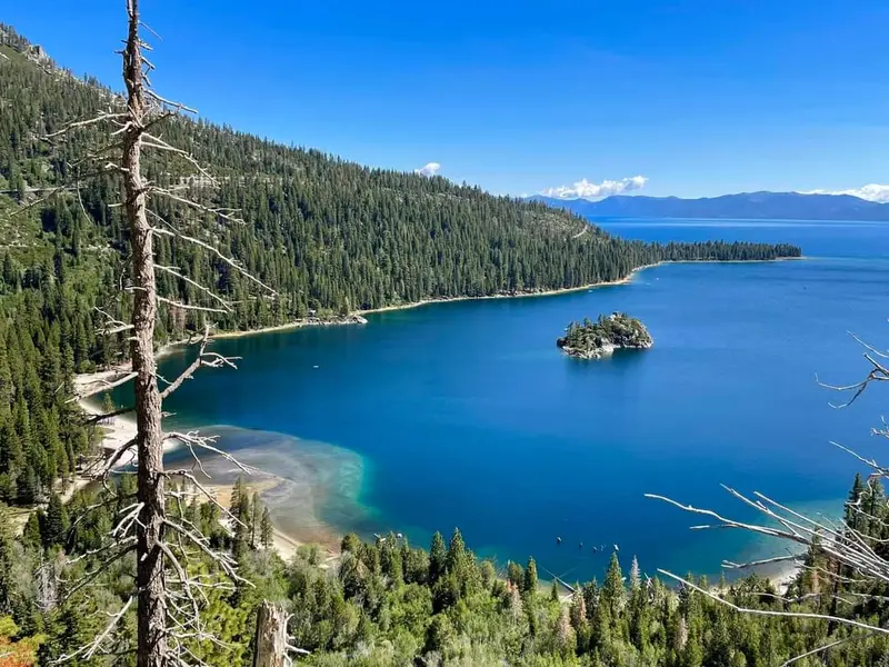
    Lake Tahoe's most famous photo is the glacier-carved west shore cove with Fannette Island, its only island. A National Natural Landmark since 1969, its waters hold an underwater park with a maritime history dive trail.
    Open in Google Maps
    Heavenly Gondola
    Attraction

    4Heavenly Gondola

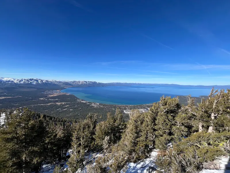
    The gondola starts in Heavenly Village in South Lake Tahoe and travels nearly four kilometers up the mountain. From the mid-station observation deck, you'll overlook the entire lake; it's closed off-season.
    Open in Google Maps
    Tallac Historic Site
    Attraction

    5Tallac Historic Site

    The summer estates of the Baldwin, Pope, and Heller families show how San Francisco's elite vacationed by the lake around 1900. The approximately 60-hectare site is listed on the National Register of Historic Places.
    Open in Google Maps
    Taylor Creek Visitor Center
    Attraction

    6Taylor Creek Visitor Center

    From the Forest Service Visitor Center, the Rainbow Trail leads through the largest meadow and marshland by the lake. At the Stream Profile Chamber, you look through windows into the stream; Kokanee salmon spawn here in October.
    Open in Google Maps

    Restaurants in Lake Tahoe

    History and Culture

    The name comes from the language of the Washoe, whose word for the lake simply means 'the lake'. For the Washoe, the lake was the center of their territory, and they are still considered its original guardians today. Only in 1862 did the name Tahoe officially prevail against earlier designations such as Lake Bigler.In the 19th century, settlers cleared large parts of the forests to supply the silver mines of the Comstock Lode in Nevada. Afterwards, wealthy families from San Francisco discovered the lake as a summer retreat; their estates can be seen today at the Tallac Historic Site. In 1960, the Winter Olympics took place in nearby Squaw Valley, today's Palisades Tahoe.The post-war building boom affected water quality. In 1969, California, Nevada, and the federal government founded the Tahoe Regional Planning Agency, which limits development. The famous clarity depth is now just under 19 meters on average; about 60 years ago, it was around 30.

    Getting There and Around

    AirportThe closest airport with scheduled flights is Reno-Tahoe International (RNO) in Nevada, about an hour's drive from the lake. From the Bay Area and Sacramento, you can reach the South Shore via US 50 or the North Shore via Interstate 80 by car.Train and BusTruckee station is served by Amtrak, and from there, TART buses go to the North and West Shores. On the South Shore, the Tahoe Transportation District operates free bus routes around South Lake Tahoe.Car and ParkingFor exploring the lake perimeter, a car is most practical. The roads, except for parts of US 50, are two-lane mountain roads; in winter, you often need snow chains or winter tires. Parking at Emerald Bay, Vikingsholm, and D. L. Bliss State Park is limited and fills up early in summer. For Sand Harbor in Nevada, you need a reservation for entry from mid-May to the end of September.On-SiteStrict rules apply around the lake due to black bears: food and trash belong in the provided bins. Outside of peak season, check which parks and cable cars are open.

    Accommodations in Lake Tahoe

    Find perfect stay in Lake Tahoe

    Booking.com* (Affiliate link)
    Search Hotels
    Agoda* (Affiliate link)
    Search Hotels
    Airbnb
    Vacation Rentals

    * Affiliate link: if you book through it, we earn a small commission. The price stays the same for you.

    Campgrounds in Lake Tahoe

    Find perfect campground in Lake Tahoe
    Search via Google Maps
    Campgrounds nearby (15km)
    Camping.info
    Find Campgrounds
    Park4Night
    RV Parks & Camping

    Nearby

    Yosemite National Park

    Yosemite National Park

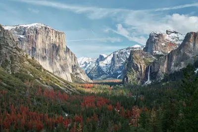
    The Yosemite National Park is located in the Sierra Nevada in California, about 300 km east of San Francisco. You go there for the Yosemite Valley with its steep rock faces, high waterfalls, and the giant sequoias in the south of the park.Above the valley, El Capitan rises about 914 m, and the Yosemite Falls plunge 739 m in total over three tiers. Near the south entrance, the Mariposa Grove hosts over 500 mature giant sequoias; a shuttle connects the parking lot and the grove. The park has existed since 1890 and has been a UNESCO World Heritage site since 1984.Admission costs 35 US dollars per car for 7 days. Visitors not residing in the USA pay an additional 100 US dollars per person from age 16, unless they have the America the Beautiful annual pass (250 US dollars). An entry reservation is not required in 2026. Tioga Road and Glacier Point Road are usually closed from November until the end of May or early June.
    San Francisco

    San Francisco

    San Francisco lies in Northern California at the northern tip of a peninsula between the Pacific and San Francisco Bay. The city, founded in 1776 with around 874,000 residents, is known for its steep hills, the Cable Cars, and the Golden Gate Bridge.Opened in 1937, the 2.7-kilometer-long Golden Gate Bridge connects the city with Marin County. The Cable Cars, a National Historic Landmark since 1964, operate on three lines, the two Powell lines running from Market Street to Fisherman's Wharf. Chinatown is considered North America's oldest Chinatown. Ferries to the former prison island Alcatraz depart from Pier 33; day tickets for adults cost 47.95 dollars and can be booked up to 90 days in advance.BART, Caltrain, light rail, and buses serve the city and region. Expect fog and cool winds from the Golden Gate: In summer, San Francisco is one of the coolest major cities in the USA; a jacket is advisable even in July.
    California

    California

    California stretches along the Pacific coast between Oregon and Mexico, and with around 39.4 million inhabitants, it is the most populous state in the USA. You come here for its approximately 1,350 kilometers of coastline, for metropolises like Los Angeles, San Francisco, and San Diego, and for high mountains, deserts, and redwood forests that lie close to each other.In the east, the Sierra Nevada stretches through the state. Its highest peak is Mount Whitney at 4,421 meters, the highest mountain in the USA outside Alaska. Just over 100 kilometers away lies Death Valley: Badwater Basin is located around 85 meters below sea level, and in 1913, 56.7 °C was measured here. On the coast, Highway 1 in Big Sur follows the steep cliffs above the Pacific for 114 kilometers.California has nine National Parks. In Sequoia National Park stands the General Sherman Tree; Redwood National Park in the north protects almost half of the remaining coast redwoods; and Joshua Tree is located at the transition of the Mojave and Colorado Deserts. Approximately 90 percent of US wine comes from California.
    Nevada

    Nevada

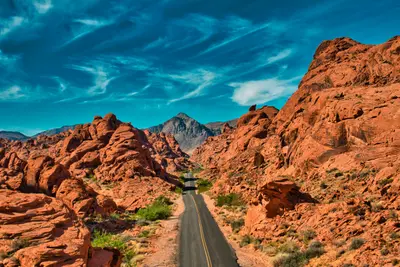
    Nevada is located east of California, between Oregon, Idaho, Utah, and Arizona. The state is primarily known as the home of Las Vegas, but you'll also find desert mountains, red sandstone canyons, and one side of Lake Tahoe here.With an average of around 180 millimeters of precipitation per year, Nevada is the driest state in the USA. Most of it belongs to the Great Basin, the south to the Mojave Desert, and over 80 percent of its area is federally administered. Its highest peak is Boundary Peak at 4,007 meters. Carson City is the capital, Reno is the center of the north, and about one-third of Lake Tahoe's water area lies in Nevada.To the east, the Great Basin National Park protects bristlecone pines, which are up to 5,000 years old, as well as the Lehman Caves. Around Las Vegas are the Hoover Dam from 1936, the Valley of Fire, Nevada's oldest State Park, and the Red Rock Canyon National Conservation Area. A part of Death Valley also belongs to Nevada.
    Big Sur & Highway 1

    Big Sur & Highway 1

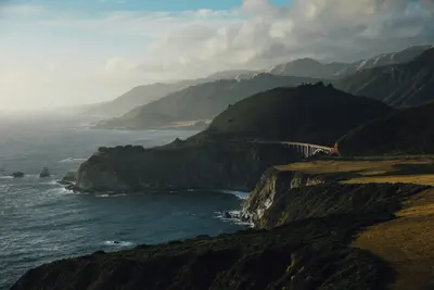
    Big Sur is the approximately 115-kilometer stretch of California coastline between Carmel and San Simeon, where the Santa Lucia Mountains drop directly into the Pacific. You come here for Highway 1, which winds in curves over steep cliffs, concrete arch bridges, and redwood canyons, counting among the most famous coastal roads in the world.There are no cities. The area has only around 2,000 year-round residents and a few small clusters of lodges, restaurants, gas stations, and campgrounds, one of which is Big Sur Village in the Big Sur River Valley, a good 40 kilometers south of Carmel. This is precisely its charm: no supermarkets, no chains, but instead viewpoints, hiking trails through redwoods, and beaches where the fog hangs among the rocks in the morning.Don't plan Big Sur as a two-hour drive-through. If you want to see Bixby Creek Bridge, Pfeiffer Beach, and McWay Falls in one day and hike between them, you'll need time, and an overnight stay in the valley makes the journey significantly more relaxed.