ExploreTravel GuidesPlan a trip
    de|en
    All Places & RegionsAbout FernwehFAQPrivacy PolicyImprint
    ExploreTravel GuidesPlan a trip
    Yosemite National Park

    United States

    Yosemite National Park

    Point of Interest

    The Yosemite National Park is located in the Sierra Nevada in California, about 300 km east of San Francisco. You go there for the Yosemite Valley with its steep rock faces, high waterfalls, and the giant sequoias in the south of the park.

    1. Home
    2. Destinations
    3. United States
    4. California
    5. Yosemite National Park
    The Yosemite National Park is located in the Sierra Nevada in California, about 300 km east of San Francisco. You go there for the Yosemite Valley with its steep rock faces, high waterfalls, and the giant sequoias in the south of the park.Above the valley, El Capitan rises about 914 m, and the Yosemite Falls plunge 739 m in total over three tiers. Near the south entrance, the Mariposa Grove hosts over 500 mature giant sequoias; a shuttle connects the parking lot and the grove. The park has existed since 1890 and has been a UNESCO World Heritage site since 1984.Admission costs 35 US dollars per car for 7 days. Visitors not residing in the USA pay an additional 100 US dollars per person from age 16, unless they have the America the Beautiful annual pass (250 US dollars). An entry reservation is not required in 2026. Tioga Road and Glacier Point Road are usually closed from November until the end of May or early June.

    Sights in Yosemite National Park

    Discover the most important sights and attractions

    Glacier Point
    Attraction

    1Glacier Point

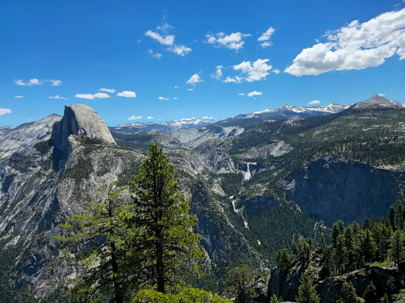
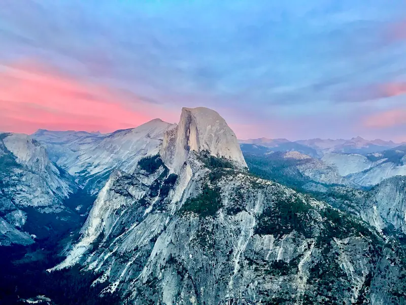
    The viewpoint is located at 2,199 m, approximately 980 m above Curry Village, with views over the Valley, Half Dome, and Yosemite Falls. From the Valley, it's about 48 km and an hour's drive; the road is open approximately from late May to October or November.
    Open in Google Maps
    Half Dome
    Attraction

    2Half Dome

    The summit is at 2,696 m. The 23-26 km round trip from Happy Isles features roughly 1,460 m of ascent; for the last 120 m, you secure yourself to steel cables. While the cables are up, a permit is required, issued by lottery.
    Open in Google Maps
    Mariposa Grove
    Attraction

    3Mariposa Grove

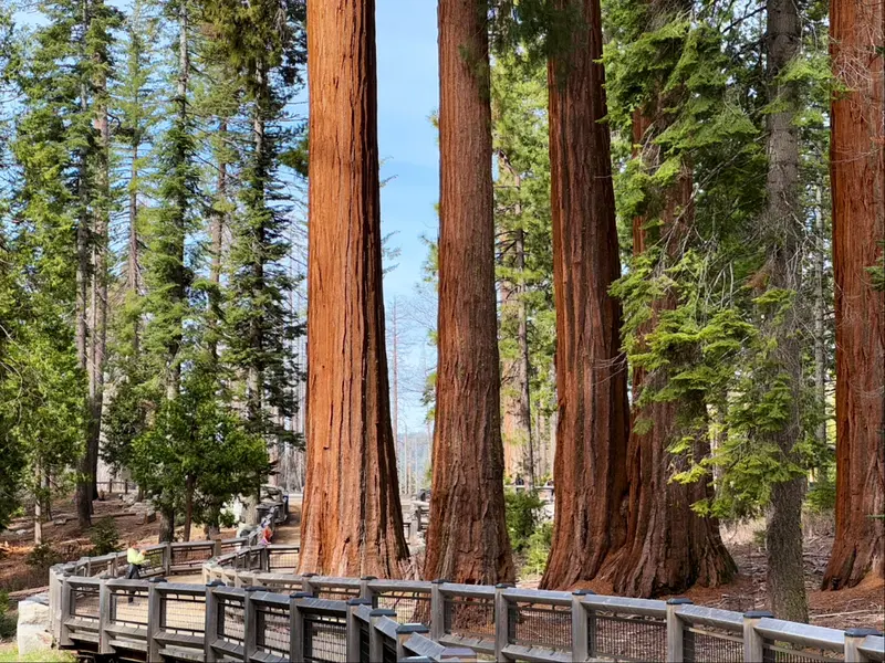
    In the grove stand several hundred mature Giant Sequoias, including the approx. 64 m tall Grizzly Giant. A free shuttle runs up from the Welcome Plaza at the South Entrance; private cars are only allowed with a disability permit.
    Open in Google Maps
    Tunnel View
    Attraction

    4Tunnel View

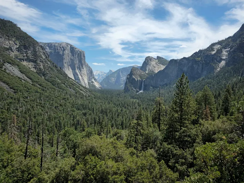
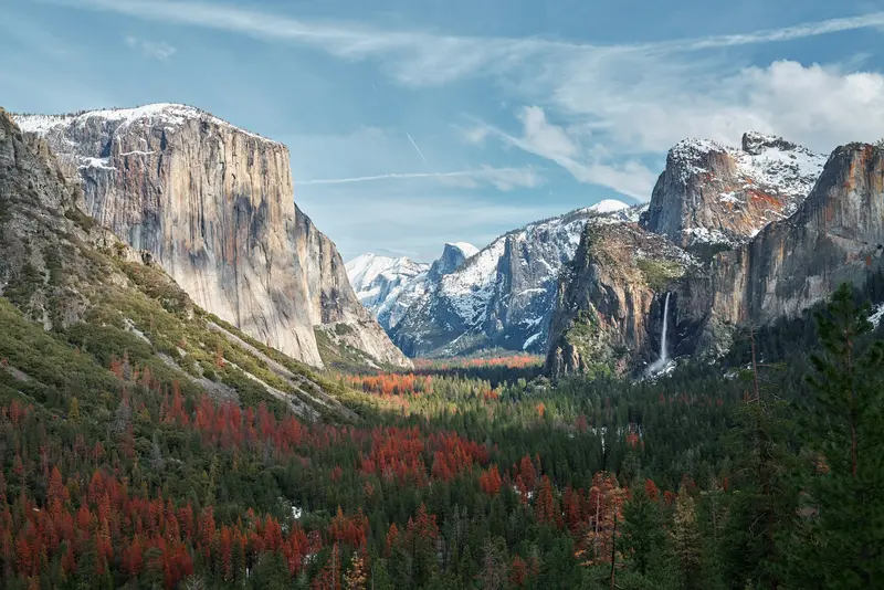
    Opened in 1933, the viewpoint lies at the east portal of the Wawona Tunnel on Highway 41. From here, you overlook the Valley with El Capitan left, Half Dome center, and the 189m high Bridalveil Fall right.
    Open in Google Maps

    Restaurants in Yosemite National Park

    History and Culture

    When the first Europeans arrived, the Ahwahneechee lived in Yosemite Valley. Seven tribes are traditionally associated with Yosemite today, including the Southern Sierra Miwok. In 1851, the Mariposa Battalion, a militia, moved into the valley to displace the Ahwahneechee into reservations. On June 30, 1864, Abraham Lincoln signed the Yosemite Grant, followed by the National Park in 1890, for which naturalist John Muir notably advocated. In 1927, Ansel Adams photographed “Monolith, the Face of Half Dome,” one of his most famous images.The Ahwahnee Hotel by architect Gilbert Stanley Underwood opened in 1927 and has been a National Historic Landmark since 1987. Climbers made the valley world-famous: In 1957, Royal Robbins, Jerry Gallwas, and Mike Sherrick first ascended Half Dome’s Northwest Face, in 1958, Warren Harding and his team reached the summit of El Capitan via the “Nose” after 45 days on the rock. In 1993, Lynn Hill achieved the first free ascent of this route.

    Getting Here and Exploring the Park

    From San Francisco, you drive about four hours, from Los Angeles about six. You can reach the Valley via Highway 140 and the Arch Rock entrance, via Highway 41 and the South Entrance near Wawona, or via Highway 120 from the west. In summer, the park is also accessible from the east via Tioga Pass. Without a car, take the buses from YARTS:Highway 140: Merced, Mariposa, and El Portal, year-round. In Merced, you have connections to Amtrak.Highway 120 West: Sonora and Groveland, from mid-May to September.Highway 120 East: Mammoth Lakes, June Lake, Lee Vining, and Tuolumne Meadows, from July to September.Highway 41: Fresno, Oakhurst, Fish Camp, and Wawona, summer only.In the Valley, free shuttles run from 7 AM to 10 PM. You can refuel year-round in Crane Flat. The Glacier Point Road is open to cars from late May to October or November, while Tioga Road is closed in winter. The waterfalls have the most water in May and June; Yosemite Falls are often almost dry by August.

    Accommodations in Yosemite National Park

    Find perfect stay in Yosemite National Park

    Booking.com* (Affiliate link)
    Search Hotels
    Agoda* (Affiliate link)
    Search Hotels
    Airbnb
    Vacation Rentals

    * Affiliate link: if you book through it, we earn a small commission. The price stays the same for you.

    Campgrounds in Yosemite National Park

    Find perfect campground in Yosemite National Park

    Search via Google Maps
    Campgrounds nearby (15km)
    Camping.info
    Find Campgrounds
    Park4Night
    RV Parks & Camping

    Nearby

    California

    California

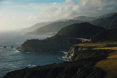
    California stretches along the Pacific coast between Oregon and Mexico, and with around 39.4 million inhabitants, it is the most populous state in the USA. You come here for its approximately 1,350 kilometers of coastline, for metropolises like Los Angeles, San Francisco, and San Diego, and for high mountains, deserts, and redwood forests that lie close to each other.In the east, the Sierra Nevada stretches through the state. Its highest peak is Mount Whitney at 4,421 meters, the highest mountain in the USA outside Alaska. Just over 100 kilometers away lies Death Valley: Badwater Basin is located around 85 meters below sea level, and in 1913, 56.7 °C was measured here. On the coast, Highway 1 in Big Sur follows the steep cliffs above the Pacific for 114 kilometers.California has nine National Parks. In Sequoia National Park stands the General Sherman Tree; Redwood National Park in the north protects almost half of the remaining coast redwoods; and Joshua Tree is located at the transition of the Mojave and Colorado Deserts. Approximately 90 percent of US wine comes from California.
    San Francisco

    San Francisco

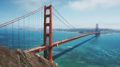
    San Francisco lies in Northern California at the northern tip of a peninsula between the Pacific and San Francisco Bay. The city, founded in 1776 with around 874,000 residents, is known for its steep hills, the Cable Cars, and the Golden Gate Bridge.Opened in 1937, the 2.7-kilometer-long Golden Gate Bridge connects the city with Marin County. The Cable Cars, a National Historic Landmark since 1964, operate on three lines, the two Powell lines running from Market Street to Fisherman's Wharf. Chinatown is considered North America's oldest Chinatown. Ferries to the former prison island Alcatraz depart from Pier 33; day tickets for adults cost 47.95 dollars and can be booked up to 90 days in advance.BART, Caltrain, light rail, and buses serve the city and region. Expect fog and cool winds from the Golden Gate: In summer, San Francisco is one of the coolest major cities in the USA; a jacket is advisable even in July.
    Nevada

    Nevada

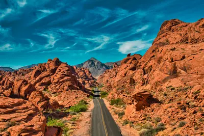
    Nevada is located east of California, between Oregon, Idaho, Utah, and Arizona. The state is primarily known as the home of Las Vegas, but you'll also find desert mountains, red sandstone canyons, and one side of Lake Tahoe here.With an average of around 180 millimeters of precipitation per year, Nevada is the driest state in the USA. Most of it belongs to the Great Basin, the south to the Mojave Desert, and over 80 percent of its area is federally administered. Its highest peak is Boundary Peak at 4,007 meters. Carson City is the capital, Reno is the center of the north, and about one-third of Lake Tahoe's water area lies in Nevada.To the east, the Great Basin National Park protects bristlecone pines, which are up to 5,000 years old, as well as the Lehman Caves. Around Las Vegas are the Hoover Dam from 1936, the Valley of Fire, Nevada's oldest State Park, and the Red Rock Canyon National Conservation Area. A part of Death Valley also belongs to Nevada.
    Red Rock Canyon National Conservation Area

    Red Rock Canyon National Conservation Area

    Just about 27 kilometers west of the Strip, the city abruptly ends. In Red Rock Canyon, red-and-white striped sandstone walls rise from the Mojave Desert; the area has been protected as a National Conservation Area since 1990 and is managed by the Bureau of Land Management. Its rocks are an international climbing destination; for everyone else, there are hiking trails ranging from short family loops to summit treks.Geologically fascinating is the Keystone Thrust, a fault that formed about 66 million years ago and is visible for about 21 kilometers along the rock face. The red Aztec sandstone originated from dunes that were here about 180 million years ago, glowing particularly intensely in the Calico Hills. In some places, you'll find rock art from earlier indigenous cultures.Most visitors drive the 13-mile (21 km) long Scenic Drive, featuring viewpoints and hiking trail parking areas. Important: From October 1st to May 31st, you'll need a Timed-Entry Reservation via Recreation.gov for entry between 8 AM and 5 PM; this also applies to the Visitor Center. With the ticket, you may enter up to 30 minutes earlier and stay all day, but re-entry requires a new reservation.The best time to visit is autumn, winter, and spring. Those wishing to visit without a reservation can enter before 8 AM or after 5 PM. On weekends, parking lots are often full between 9 AM and 3 PM.
    Malibu

    Malibu

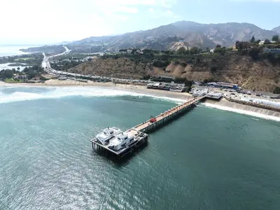
    Malibu is not a city with a central core, but rather a 34-kilometer-long stretch of coastline along the Pacific Coast Highway, nestled between the Santa Monica Mountains and the Pacific Ocean. Officially, Malibu lies outside the city of Los Angeles, only establishing itself as its own municipality in 1991. It is known for its surf beaches, rocky coves, and rugged cliffs.The fires of December 2024 and January 2025 hit Malibu hard; the Palisades Fire destroyed a large portion of the beach houses in the eastern part of the area. The Pacific Coast Highway has been open to all traffic again since May 2025, reconstruction is ongoing, and many restaurants have only gradually reopened.On the eastern edge of the coastline lies the Getty Villa, a recreation of the Roman Villa dei Papiri from Herculaneum, housing around 44,000 Greek, Roman, and Etruscan antiquities. Further west, Point Dume juts into the sea, a headland at the northern end of Santa Monica Bay. From February into spring, you can often spot gray whales and humpback whales on their migration from here. Approximately 16 kilometers west of the center, paths and stairs lead down to El Matador State Beach, a small cove nestled beneath the cliffs.For Malibu, you'll need a full day and preferably a car. The beaches are emptier in the mornings, and a sunset at El Matador or on Point Dume makes for a perfect end to the day.