ExploreTravel GuidesPlan a trip
    de|en
    All Places & RegionsAbout FernwehFAQPrivacy PolicyImprint
    ExploreTravel GuidesPlan a trip
    • Places in the region
    • Getting around
    • Nearby
    California

    United States

    California

    Region

    California stretches along the Pacific coast between Oregon and Mexico, and with around 39.4 million inhabitants, it is the most populous state in the USA.

    1. Home
    2. Destinations
    3. United States
    4. California
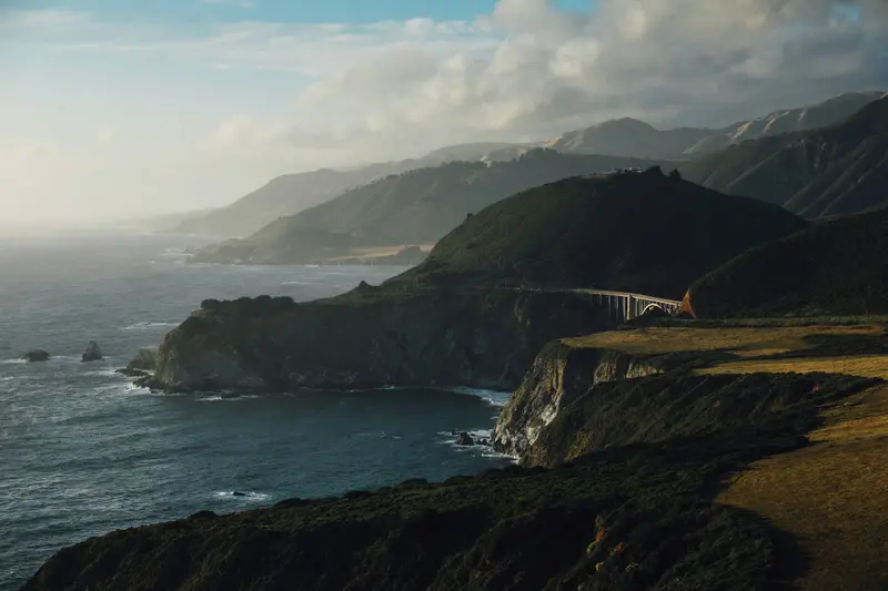
    California stretches along the Pacific coast between Oregon and Mexico, and with around 39.4 million inhabitants, it is the most populous state in the USA. You come here for its approximately 1,350 kilometers of coastline, for metropolises like Los Angeles, San Francisco, and San Diego, and for high mountains, deserts, and redwood forests that lie close to each other.In the east, the Sierra Nevada stretches through the state. Its highest peak is Mount Whitney at 4,421 meters, the highest mountain in the USA outside Alaska. Just over 100 kilometers away lies Death Valley: Badwater Basin is located around 85 meters below sea level, and in 1913, 56.7 °C was measured here. On the coast, Highway 1 in Big Sur follows the steep cliffs above the Pacific for 114 kilometers.California has nine National Parks. In Sequoia National Park stands the General Sherman Tree; Redwood National Park in the north protects almost half of the remaining coast redwoods; and Joshua Tree is located at the transition of the Mojave and Colorado Deserts. Approximately 90 percent of US wine comes from California.
    San Francisco

    Place 1 of 3

    San Francisco

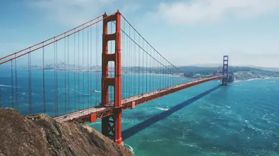
    San Francisco lies in Northern California at the northern tip of a peninsula between the Pacific and San Francisco Bay. The city, founded in 1776 with around 874,000 residents, is known for its steep hills, the Cable Cars, and the Golden Gate Bridge.

    According to the 2020 Census, San Francisco had approximately 874,000 residents within just 122 square kilometers of land, spread over more than 50 hills. You get around best with Muni buses, streetcars, and Cable Cars, using your Clipper Card, and with BART, connecting downtown, the airport, and Oakland.

    Discover
    Los Angeles

    Place 2 of 3

    Los Angeles

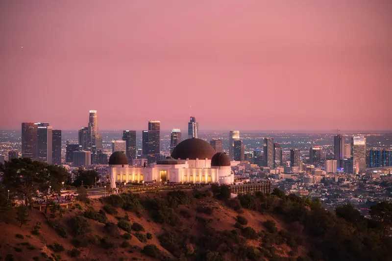
    Los Angeles, with nearly 3.9 million inhabitants, is the second-largest city in the USA and the cultural center of Southern California.

    Los Angeles counted nearly 3.9 million residents in the 2020 census, and by 1921, over 80 percent of the world's film industry was already based here.

    Discover
    Yosemite National Park

    Place 3 of 3

    Yosemite National Park

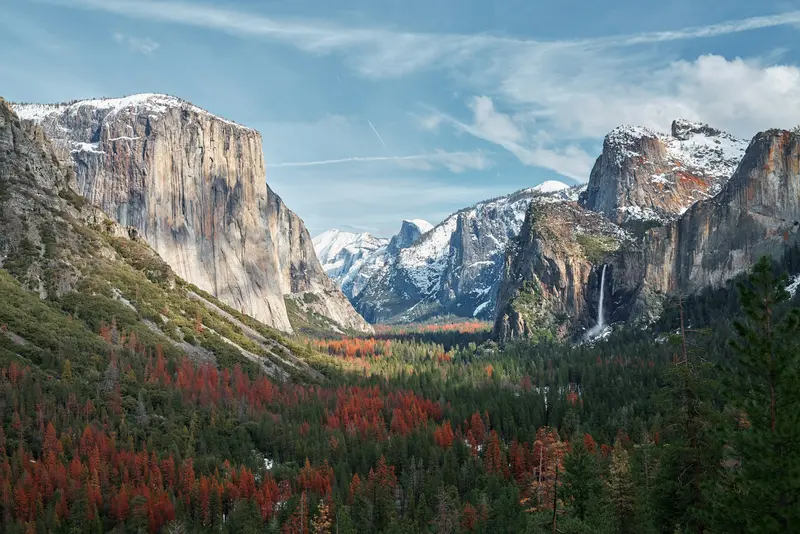
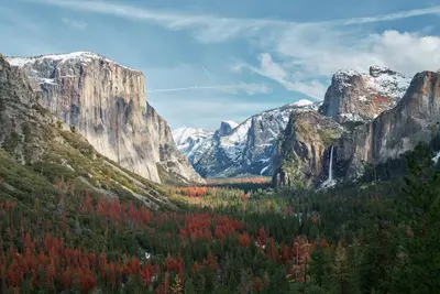
    The Yosemite National Park is located in the Sierra Nevada in California, about 300 km east of San Francisco. You go there for the Yosemite Valley with its steep rock faces, high waterfalls, and the giant sequoias in the south of the park.

    Discover

    More places in California

    San Diego

    San Diego

    San Diego liegt ganz im Südwesten der USA, direkt an der Grenze zu Mexiko. Mit rund 1,39 Millionen Einwohnern ist sie die achtgrößte Stadt der USA und die zweitgrößte Kaliforniens, wirkt aber entspannter als Los Angeles im Norden. Das Klima ist mild und trocken, mit warmen Sommern und milden Wintern. Im Frühsommer hängt morgens oft Küstennebel, den die Einheimischen „June Gloom“ nennen.Die Stadt hat viele Gesichter: Marinestützpunkte und Flugzeugträger an der Bucht, spanisch-mexikanische Wurzeln in Old Town, die Museen im Balboa Park, Surfstrände von Ocean Beach bis La Jolla und eine der dichtesten Brauereiszenen der USA. Dazu kommen Fish Tacos, California Burritos und eine Küche, die stark von der Grenzregion geprägt ist.

    Sights in California

    Discover the most important sights and attractions

    Death Valley National Park
    Park

    Death Valley National Park

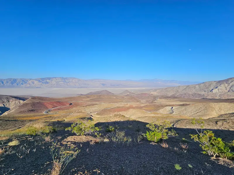
    Largest national park outside Alaska, featuring salt flats, sand dunes, and Badwater Basin, North America's lowest point (86 m below sea level). Extremely hot in summer: Drive only early mornings and bring plenty of water.
    Open in Google Maps
    General Sherman Tree (Sequoia National Park)
    Attraction

    General Sherman Tree (Sequoia National Park)

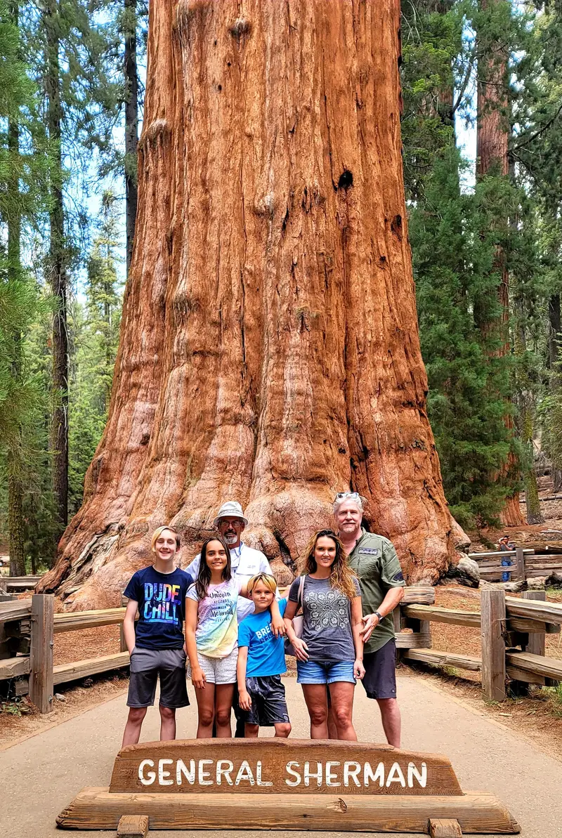
    The nearly 84 m tall Giant Sequoia in the Giant Forest of Sequoia National Park is considered the largest tree on Earth by volume. A short but steep path leads down from the parking lot.
    Open in Google Maps
    Joshua Tree National Park
    National Park

    Joshua Tree National Park

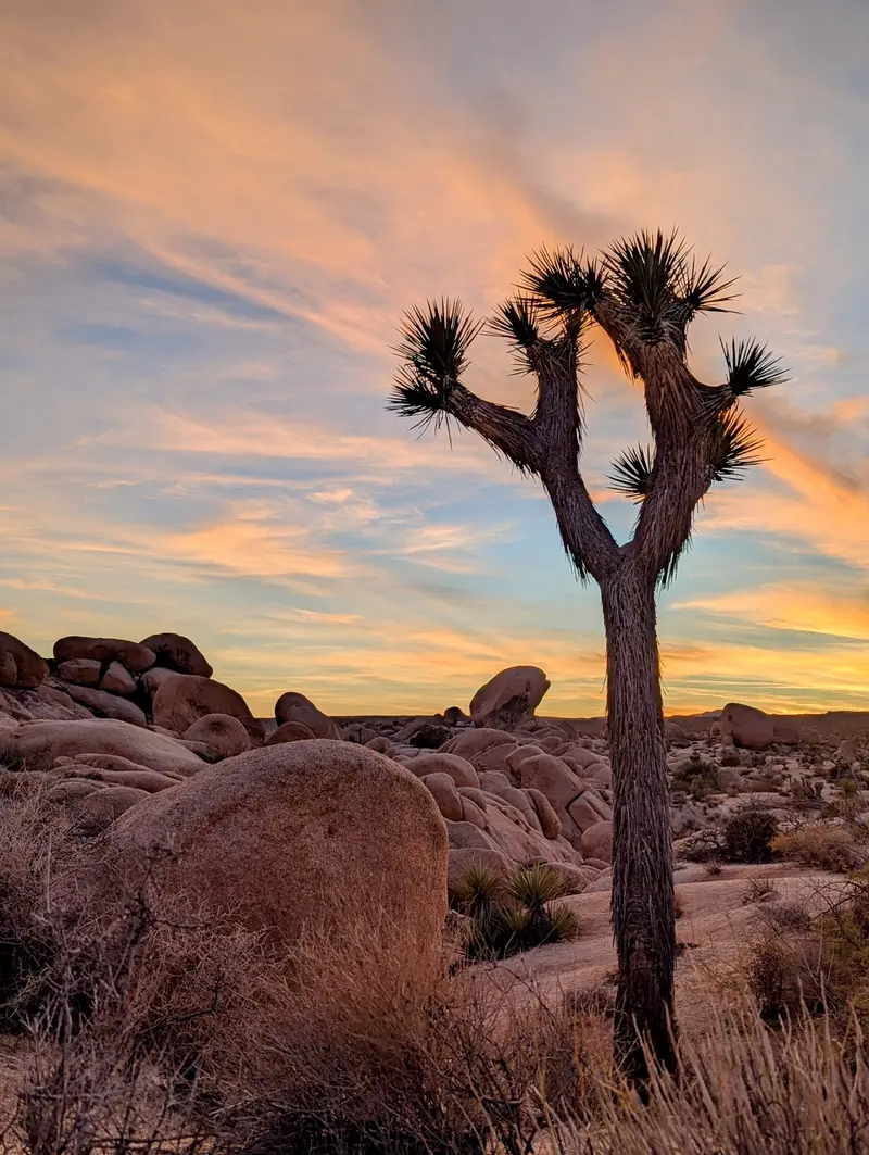
    Here, the Mojave and Colorado Deserts meet: Joshua trees, smoothly sculpted granite rocks, and a starry sky that is among the darkest in Southern California. Popular with climbers, campers, and hikers.
    Open in Google Maps

    Arrival and On the Road

    The main hubs are Los Angeles and San Francisco. Destinations are far apart, and national parks are barely accessible by public transport, so a rental car is almost always the most practical solution.Airports: Los Angeles (LAX), San Francisco (SFO), San Diego (SAN), Sacramento (SMF), San José (SJC) and Oakland (OAK).Coast: Highway 1 through Big Sur has been closed by landslides more than 55 times since its completion in 1937. Check current road conditions before you drive.Death Valley: The park is closer to Las Vegas (under 160 kilometers) than to the major Californian cities.Travel Time: The coast has a Mediterranean climate, often with fog in summer. Spring and autumn are suitable for the deserts, while there is snow in the Sierra in winter.
    Nearby

    Yosemite National Park

    Yosemite National Park

    The Yosemite National Park is located in the Sierra Nevada in California, about 300 km east of San Francisco. You go there for the Yosemite Valley with its steep rock faces, high waterfalls, and the giant sequoias in the south of the park.Above the valley, El Capitan rises about 914 m, and the Yosemite Falls plunge 739 m in total over three tiers. Near the south entrance, the Mariposa Grove hosts over 500 mature giant sequoias; a shuttle connects the parking lot and the grove. The park has existed since 1890 and has been a UNESCO World Heritage site since 1984.Admission costs 35 US dollars per car for 7 days. Visitors not residing in the USA pay an additional 100 US dollars per person from age 16, unless they have the America the Beautiful annual pass (250 US dollars). An entry reservation is not required in 2026. Tioga Road and Glacier Point Road are usually closed from November until the end of May or early June.
    San Francisco

    San Francisco

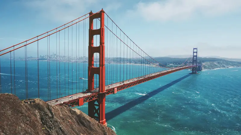
    San Francisco lies in Northern California at the northern tip of a peninsula between the Pacific and San Francisco Bay. The city, founded in 1776 with around 874,000 residents, is known for its steep hills, the Cable Cars, and the Golden Gate Bridge.Opened in 1937, the 2.7-kilometer-long Golden Gate Bridge connects the city with Marin County. The Cable Cars, a National Historic Landmark since 1964, operate on three lines, the two Powell lines running from Market Street to Fisherman's Wharf. Chinatown is considered North America's oldest Chinatown. Ferries to the former prison island Alcatraz depart from Pier 33; day tickets for adults cost 47.95 dollars and can be booked up to 90 days in advance.BART, Caltrain, light rail, and buses serve the city and region. Expect fog and cool winds from the Golden Gate: In summer, San Francisco is one of the coolest major cities in the USA; a jacket is advisable even in July.
    Malibu

    Malibu

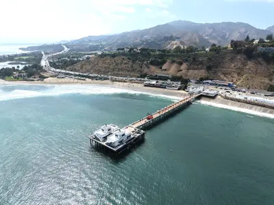
    Malibu is not a city with a central core, but rather a 34-kilometer-long stretch of coastline along the Pacific Coast Highway, nestled between the Santa Monica Mountains and the Pacific Ocean. Officially, Malibu lies outside the city of Los Angeles, only establishing itself as its own municipality in 1991. It is known for its surf beaches, rocky coves, and rugged cliffs.The fires of December 2024 and January 2025 hit Malibu hard; the Palisades Fire destroyed a large portion of the beach houses in the eastern part of the area. The Pacific Coast Highway has been open to all traffic again since May 2025, reconstruction is ongoing, and many restaurants have only gradually reopened.On the eastern edge of the coastline lies the Getty Villa, a recreation of the Roman Villa dei Papiri from Herculaneum, housing around 44,000 Greek, Roman, and Etruscan antiquities. Further west, Point Dume juts into the sea, a headland at the northern end of Santa Monica Bay. From February into spring, you can often spot gray whales and humpback whales on their migration from here. Approximately 16 kilometers west of the center, paths and stairs lead down to El Matador State Beach, a small cove nestled beneath the cliffs.For Malibu, you'll need a full day and preferably a car. The beaches are emptier in the mornings, and a sunset at El Matador or on Point Dume makes for a perfect end to the day.
    Hollywood

    Hollywood

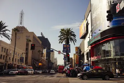
    Hollywood is less about glamour and more of a pilgrimage site: On Hollywood Boulevard, visitors jostle over the Walk of Fame stars, costumed characters pose for tips, amidst souvenir shops and old movie palaces. Film history lies in the details, such as the hand and footprints in front of the TCL Chinese Theatre or in bars where Frank Sinatra and Charles Bukowski once sat.The Walk of Fame spans 15 blocks of Hollywood Boulevard and three blocks of Vine Street. The first permanent stars were laid in 1960; there are now around 2,850. The Chinese Theatre opened in 1927 and is currently an IMAX cinema. Right next door is the Ovation Hollywood complex, home to the Dolby Theatre, where the Oscars have been presented since 2002. From 2029, the gala will move to the Peacock Theater in Downtown.The Hollywood Sign has stood on Mount Lee since 1923, originally an advertisement for the "Hollywoodland" settlement. You cannot get close to the letters; the steep terrain is cordoned off and monitored. Two viewpoints are officially recommended: the terraces of Ovation Hollywood and the Griffith Observatory in neighboring Griffith Park, reachable by bus or car in under half an hour.It's best to come in the morning before the boulevard fills, and return in the evening for a drink at the Frolic Room or a steak at Musso & Frank. Then the neon signs glow, and the day visitors have disappeared.
    Beverly Hills and West Hollywood

    Beverly Hills and West Hollywood

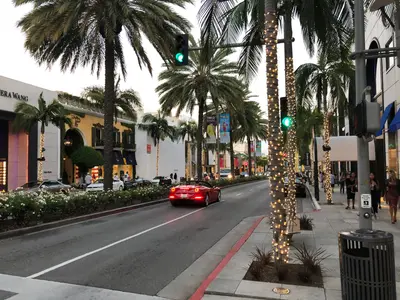
    Two distinct cities within the Los Angeles urban area, two distinct personalities: Beverly Hills stands for villas, palm-lined avenues, and luxury boutiques, while West Hollywood, founded only in 1984, is synonymous with rock history, comedy, and nightlife.The most famous section of Rodeo Drive comprises approximately three blocks between Wilshire Boulevard and Little Santa Monica Boulevard. The Beverly Wilshire hotel stands at the corner of Wilshire Boulevard. At the intersection with Dayton Way, the “Torso” sculpture marks the Rodeo Drive Walk of Style, where commemorative plaques honor fashion icons. This is where the scene in “Pretty Woman” (1990) takes place, where Julia Roberts is complimented out of a boutique. Worth a detour is Greystone Mansion, a 1928 Tudor estate, now a city park and a backdrop for films like “There Will Be Blood” and “The Big Lebowski.” For a photo with the iconic lettering, head to the Beverly Hills Sign in Beverly Gardens Park.The Sunset Strip, approximately 2.7 kilometers of Sunset Boulevard in West Hollywood, was the stage for rock in the 1960s. At the Whisky a Go Go, opened in 1964, The Doors played as the house band, and The Comedy Store has been around since 1972. Huge billboards still line the street today.Beverly Hills is best explored on foot during the day, while the Strip comes alive from late evening, when concerts and comedy shows begin.