ExploreTravel GuidesPlan a trip
    de|en
    All Places & RegionsAbout FernwehFAQPrivacy PolicyImprint
    ExploreTravel GuidesPlan a trip
    Khao Sam Roi Yot National Park
    National Park

    Thailand

    Khao Sam Roi Yot National Park

    The Khao Sam Roi Yot National Park is located just under 60 kilometers south of Hua Hin on the Gulf Coast. Limestone mountains, Thailand's largest freshwater marsh, and the beaches of Laem Sala and Sam Phraya characterize the park.

    1. Home
    2. Destinations
    3. Thailand
    4. Gulf of Thailand Coast
    5. Khao Sam Roi Yot National Park
    The Khao Sam Roi Yot National Park is located just under 60 kilometers south of Hua Hin on the Gulf Coast. Limestone mountains, Thailand's largest freshwater marsh, and the beaches of Laem Sala and Sam Phraya characterize the park. The Phraya Nakhon Cave is well-known for its Khuha Kharuehat Pavilion, which King Chulalongkorn had built in 1890; through an opening in the cave ceiling, sunlight falls directly onto it at certain times.

    Restaurants in Khao Sam Roi Yot National Park

    Accommodations in Khao Sam Roi Yot National Park

    Find perfect stay in Khao Sam Roi Yot National Park

    Booking.com* (Affiliate link)
    Search Hotels
    Agoda* (Affiliate link)
    Search Hotels
    Airbnb
    Vacation Rentals

    * Affiliate link: if you book through it, we earn a small commission. The price stays the same for you.
    Nearby

    Hua Hin

    Hua Hin

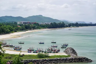
    Hua Hin is one of Thailand's oldest seaside resorts, closely linked to the royal family. It features a long sandy beach, the historic train station with its royal pavilion, and, near the coast, the summer palaces Klai Kangwon and Mrigadayavan. At the southern end of the bay, a temple stands on Khao Takiab, offering views over the coast. In the evenings, the town gathers at the night market on Dechanuchit Road. The most pleasant time is from November to February.
    Pattaya

    Pattaya

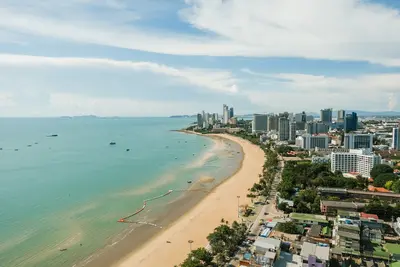
    Pattaya, on the east coast of the Gulf of Thailand, was originally a fishing village. From 1959, US soldiers came here for recreation, and during the Vietnam War, it grew into a resort town. Today, it's a city with high-rises along the beachfront promenade, about 150 kilometers southeast of Bangkok.The Walking Street in the south is the center of nightlife, heavily dominated by bars and red-light establishments. Those wishing to avoid this are better off staying further south in Jomtien or north in Naklua, where it's quieter.Two cultural highlights are: the Sanctuary of Truth in Naklua, a temple built entirely from wood with intricate carvings, and Wat Phra Yai on Pratumnak Hill, offering views over the bay. From Bali Hai Pier, boats depart for Koh Larn island, whose beaches have clearer water than the city beaches.The drier months from November to February are the most pleasant time to travel.
    Floating Market Damnoen Saduak

    Floating Market Damnoen Saduak

    The Damnoen Saduak floating market is located in Ratchaburi province, a good hundred kilometers southwest of Bangkok, in a network of canals that were built for irrigation in the 19th century. Vendors sell fruit, vegetables, noodle soups, and soup ingredients from flat wooden boats.The market is the most famous of its kind and accordingly heavily geared towards visitors: In addition to the vendor boats, souvenir stalls crowd the banks, and longtail boats ferry groups through the canals. It's liveliest and still relatively quiet just after sunrise; from late morning onwards, it gets crowded.Those who prefer to explore the canals at their own pace can take a rowing boat instead of a motorized tour. Prices are generally negotiated here, even for boat trips. Quieter alternatives in the area include the markets of Tha Kha and Amphawa, which are mostly frequented by locals and only take place on specific days.

    Koh Samet

    Located approximately 200 kilometres from Bangkok off the coast of Rayong province, Koh Samet is one of the capital's most quickly accessible beach islands. Most of the island is part of the Khao Laem Ya-Mu Ko Samet National Park, with an entrance fee collected upon arrival. Ferries depart from Ban Phe, with the standard crossing taking 30 to 45 minutes.
    Riverside (Chao Phraya)

    Riverside (Chao Phraya)

    The Chao Phraya is Bangkok's most important waterway and one of the most revealing perspectives on the city. Along its banks, temples, old trading houses, cargo piers, and modern high-rises line up. In the Riverside district, historic hotels stand next to large shopping centers on the Thonburi side.The Chao Phraya Express Boats operate between numerous piers and are often the most practical means of transport for visitors: Sathorn Pier connects to the BTS Skytrain, and further north are the piers for Wat Arun, Wat Pho, and the Grand Palace. Small cross-river ferries connect the two sides of the river.In the evening, dinner boats cruise up and down the river, and waterside night markets and restaurant terraces open. For those who prefer peace, stroll through the alleys of Talat Noi and Chinatown, which reach right to the riverbank.