Fernweh: Home
    ExploreTravel GuidesPlan a tripMy tripLast visited
    de|en
    All Places & RegionsAll highlightsAbout FernwehFAQPrivacy PolicyImprint
    ExploreTravel GuidesPlan a tripMy tripLast visited
    • Neighborhoods & highlights
    • Recommendations
    • Eat & drink
    • Culture
    • Getting around
    • Accommodation
    • Plan trip
    • Nearby
    Nosara

    Costa Rica

    Nosara

    City

    Nosara is a district on the west coast of the Nicoya Peninsula in Guanacaste Province, about two and a half hours' drive from Liberia Airport and approximately five hours from San José.

    by Felix Gillen

    1. Home
    2. Destinations
    3. Costa Rica
    4. Nicoya Peninsula
    5. Nosara
    Nosara is a district on the west coast of the Nicoya Peninsula in Guanacaste Province, about two and a half hours' drive from Liberia Airport and approximately five hours from San José. You come here to surf at Playa Guiones, for yoga classes, and due to its proximity to Ostional's turtle beach.Nosara consists of several parts: the Costa Rican village about six kilometers inland by the Río Nosara, the quieter Playa Pelada, and the area around Playa Guiones, where most accommodations, cafés, and surf schools are located. A tangle of unpaved roads and paths connects the neighborhoods.In the 1960s, a US entrepreneur bought the coastal land to subdivide it for a residential development. The project failed, but the landowners founded the Nosara Civic Association, which to this day ensures that a forested strip is preserved along the beaches. That's why you barely see any buildings from the water.Playa Guiones is an approximately six-kilometer-long sandy beach with very consistent waves, where beginners and advanced surfers can surf. Since the founding of the Nosara Yoga Institute in 1994, the place has also been a center for yoga and retreats.

    Sights in Nosara

    Discover the most important sights and attractions

    Playa Guiones

    1Playa Guiones

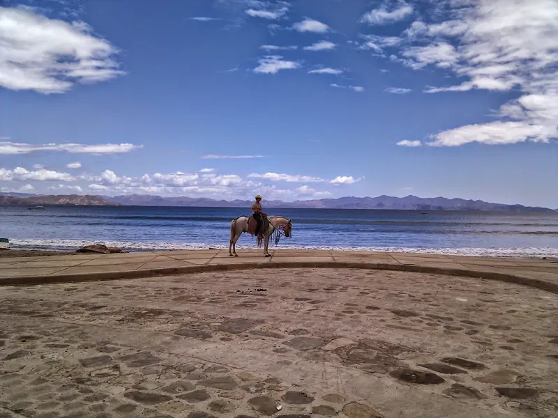
    Approximately six kilometers of light sandy beach and Nosara's most important surf spot. The beach breaks are very consistent and suitable for beginners and advanced surfers alike, which is why there are many surf schools in the area behind the beach. Because a forested buffer strip lies behind the beach, you'll see hardly any buildings from the water.
    Open in Google Maps
    National Sanctuary for Wildlife at Ostional
    Attraction

    2National Sanctuary for Wildlife at Ostional

    The reserve covers the roughly seven-kilometer-long Ostional beach, about a ten-minute drive north of Nosara. Here, Olive Ridley sea turtles come ashore for mass nesting events, known as Arribadas: one to two times per month, year-round, with tens of thousands of females each. Ostional is regarded as one of the most important nesting sites for this species worldwide. Visits during nesting periods are managed by accredited guides; flashlights are only to be used as instructed.
    Open in Google Maps
    Playa Pelada

    3Playa Pelada

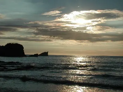
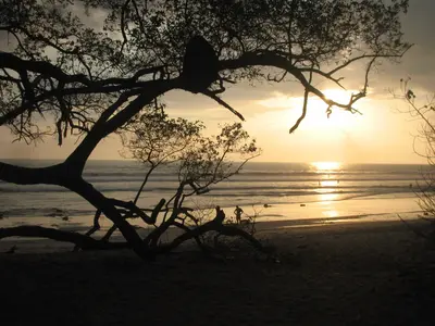
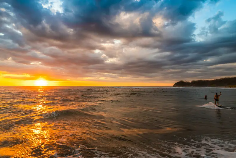
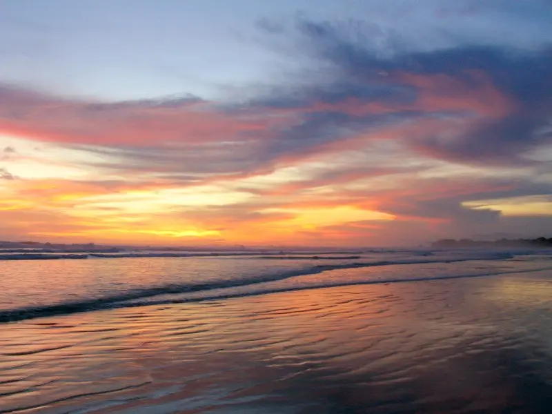
    Smaller, quieter bay north of Guiones, somewhat protected by an offshore reef and thus better for swimming. At low tide, tidal pools form, shady trees line the sand, and in the evenings, Pelada is a popular spot for sunset.
    Open in Google Maps
    Reserva Biológica Nosara

    4Reserva Biológica Nosara

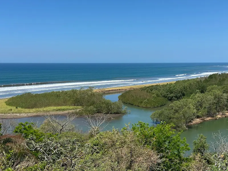
    Small, around 35-hectare protected area on the south bank of the Río Nosara with trails through forest and mangroves. Over 270 bird species observed here; crocodiles are occasionally seen in the mangroves. The entrance is on the hill near the Hotel Lagarta Lodge; you receive a trail map for a fee.
    Open in Google Maps

    Restaurants in Nosara

    Village, Beach and Community

    Two WorldsIn the village of Nosara, you'll find supermarkets, sodas, and the daily life of the Costa Rican population, who live off agriculture, fishing, and increasingly tourism. At the beaches, however, the scene is shaped by relocated North Americans and Europeans, surfers, and yoga travelers. Nosara is considered one of the country's oldest expat communities.Yoga and Nature ConservationThe Nosara Yoga Institute, founded in 1994, has trained teachers from all over the world; many accommodations offer courses. At the same time, the community is strongly committed to protecting the coast and forest, for instance in the small Nosara Biological Reserve on the riverbank.

    Arrival and Mobility

    Getting ThereFrom Liberia Airport, it's about a two-and-a-half-hour drive; from San José, about five. The last sections are partly unpaved and difficult during the rainy season; a 4x4 vehicle is advisable. Shuttles operate from both airports, and public buses run via Nicoya. Nosara's small airfield is served by domestic airlines; weather can cause delays.LocallySeveral kilometers separate the village, Pelada, and Guiones. Many locals ride motorcycles; visitors often rent ATVs, golf carts, or take tuk-tuks. Ostional is about a ten-minute drive from Nosara; during high water of the Río Nosara, the route may be restricted.
    Accommodations in Nosara

    Find perfect stay in Nosara

    Booking.com* (Affiliate link)
    Search Hotels
    Agoda* (Affiliate link)
    Search Hotels
    Airbnb
    Vacation Rentals

    * Affiliate link: if you book through it, we earn a small commission. The price stays the same for you.

    Plan your trip to Nosara

    Save places, build a route and plan your city trip, all in one place.

    1. 1
      Sunrise over alpine peaks and a sea of clouds
      1234

      Round trip

      12 days · 4 stops

      Saved

      Pick a route

      Pick a ready-made one or save places and plan your own.

      Open bookmarks
    2. 2

      Trip to Nosara

      Live
      • 1Playa Guiones3 days
      • 2National Sanctuary for Wildlife at Ostional4 days
      • 3Playa Pelada5 days
      Budget

      Plan your trip

      The planner sorts stops, days and budget. Plan together in real time.

      Start trip planning
    3. 3
      9:41 No signal
      Nosara
      Available offline

      Use it on the road

      Download the guide to your phone and use it on site, even offline.

    Nearby

    Nicoya Peninsula

    Nicoya Peninsula

    The Nicoya Peninsula, in northwestern Costa Rica, juts about 120 kilometers into the Pacific, separating the Gulf of Nicoya from the open ocean. You come for its long, sparsely developed beaches, the surf spots on the west coast, and the small towns where roads often still consist of gravel.Politically, the peninsula is divided: the north belongs to Guanacaste Province, while the south, with Santa Teresa, Mal País, and Montezuma, belongs to Puntarenas Province. Nosara is located on the west coast in the Nicoya Canton, near the turtle beach of Ostional.The peninsula is counted among the so-called Blue Zones, regions where many people live to be very old. In daily life, you notice little of this, but certainly the tranquil pace in the villages away from the surf towns.
    Tamarindo

    Tamarindo

    Tamarindo is Guanacaste's most famous beach resort on the Pacific Coast of the Nicoya Peninsula, about an hour's drive from Liberia International Airport. You come here for the wide surf beach, the mangroves of the Tamarindo Estuary, and the Las Baulas Marine National Park, where leatherback sea turtles lay their eggs.From a small fishing village, it transformed into a resort starting in the mid-1980s; the 1994 surf film The Endless Summer II made its waves internationally famous. Today, surf schools, hotels, restaurants, and bars line the main road parallel to the beach.The main beach, Playa Tamarindo, with its consistent waves, is well-suited for beginner surfers. To the south lies the quieter Playa Langosta, while to the north, beyond the river mouth, is Playa Grande, which belongs to the national park.Tamarindo is heavily tourist-oriented and more expensive than smaller coastal towns. However, you'll find a wide selection of accommodations, restaurants, and evening entertainment here. The best time for swimming is during the dry season, from November to April.
    Santa Teresa

    Santa Teresa

    Santa Teresa is a surf town on the Pacific coast in the south of the Nicoya Peninsula, about five hours from San José by car and ferry. You come for the waves, which offer something for almost everyone from beginner to pro, and for the sunsets, where half the town gathers on the beach in the evenings.The town stretches along a single main road that runs from the fishing village of Mal País in the south, through Playa Carmen and Playa Santa Teresa, up to Playa Hermosa in the north. Most cafés, restaurants, and surf schools are located between Playa Carmen and Playa Santa Teresa.Until a few decades ago, Santa Teresa was a remote village that lived off agriculture, cattle farming, and fishing. Today, tourism is the main source of income for most families, and the audience is international: surfers, yoga tourists, digital nomads.For swimming, the beaches are often less suitable due to the surf and currents. At low tide, tidal pools form between the rocks of Santa Teresa and Mal País, where you can bathe; water shoes protect against the sharp stones.
    Montezuma

    Montezuma

    Montezuma is a small coastal town on the eastern side of the southern tip of the Nicoya Peninsula, approximately 40 kilometers southwest of the Paquera ferry terminal. You come here for the waterfalls just behind the town, the beaches along the coast, and its proximity to the Cabo Blanco Nature Reserve.For a long time, Montezuma was a remote fishing village. In the 1950s, Swedish Nicolás Wessberg and Danish Karen Mogensen settled here; their efforts led to the establishment of Cabo Blanco in 1963, Costa Rica's first protected area. Later, expats and backpackers arrived, giving the town its somewhat alternative character that persists to this day.The center consists of a few streets with restaurants, accommodations, shops, and tour operators. To the north and south, rocky coves and sandy beaches line the coast, accessible on foot.From Montezuma, boat trips depart for Isla Tortuga in the Gulf of Nicoya, and a water taxi connects the town with Playa Herradura near Jacó on the opposite coast.
    Guanacaste

    Guanacaste

    Guanacaste is Costa Rica's dry northwestern province on the Pacific coast, approximately 215 kilometers northwest of San José. You come here for the beaches of the Pacific coast, for volcanic landscapes like the Rincón de la Vieja, and for the light blue Río Celeste.From November to April, there's hardly any rain here, which makes Guanacaste the country's most reliable beach destination during this time; from May to October, it usually rains daily. The landscape is characterized by pastureland, dry forest, and volcanic ranges; the Area de Conservación Guanacaste in the north is a UNESCO World Heritage site.The capital is Liberia, home to the country's second international airport, the Aeropuerto Daniel Oduber Quirós. From there, you can reach the beaches around Tamarindo as quickly as the national parks inland.

    Sources & method

    • Photos: Wikimedia Commons, Unsplash, Google Maps. Each photo carries its credit.
    • Place data such as addresses and ratings comes from Google Maps.
    • The content is based on web research from public, traceable sources. How the content is made · The role of AI