Fernweh: Home
    ExploreTravel GuidesPlan a tripMy tripLast visited
    de|en
    All Places & RegionsAll highlightsAbout FernwehFAQPrivacy PolicyImprint
    ExploreTravel GuidesPlan a tripMy tripLast visited
    • Overview
    • Places in the region
    • Eat & drink
    • Culture
    • Getting around
    • Round trips
    • Nearby
    Nordkap

    South Africa

    Nordkap

    Region

    The Northern Cape is the largest and most sparsely populated province of South Africa, between the Orange River and the Kalahari.

    by Felix Gillen

    1. Home
    2. Destinations
    3. South Africa
    4. Nordkap
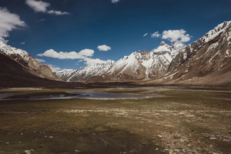
    The Northern Cape is the largest and most sparsely populated province of South Africa, between the Orange River and the Kalahari. Red dunes in the Kgalagadi, the Augrabies Falls, Kimberley's diamond heritage, and clear starry skies define this vast, dry region.
    The distances are vast, plan ample time. To the north lies the Kgalagadi Transfrontier Park with big cats and dunes, on the Orange River the city of Upington with viticulture and dates, and to its west the Augrabies Falls. To the east, the Big Hole in Kimberley commemorates the 19th-century diamond rush. Namaqualand, with its wildflower bloom in the west, also belongs to the province and has its own dedicated page on our site. Summers are very hot, while winter nights are frosty.
    Kgalagadi Transfrontier Park

    Place 1 of 3

    Kgalagadi Transfrontier Park

    The Kgalagadi Transfrontier Park is located in the far northwest of South Africa on the border with Botswana and Namibia, approximately 250 kilometers north of Upington.

    Discover
    Augrabies Falls National Park

    Place 2 of 3

    Augrabies Falls National Park

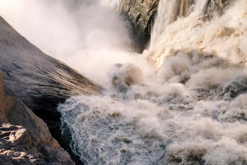
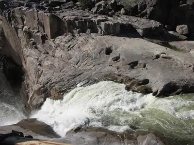
    In Augrabies Falls National Park in the Northern Cape, about 120 kilometers west of Upington, the Orange River plunges approximately 56 meters into an 18-kilometer-long granite gorge.

    Discover
    Upington

    Place 3 of 3

    Upington

    Upington is the largest city in the north of the Northern Cape, situated on the Orange River, creating a green oasis of vineyards, raisin and date farms in the semi-desert.

    Discover

    Sights in Nordkap

    Discover the most important sights and attractions

    The Big Hole, Kimberley

    The Big Hole, Kimberley

    Kimberley's Big Hole, from the 1871 diamond rush, is one of the world's largest hand-dug holes. From a platform, gaze into the water-filled crater. The adjacent museum tells the story of diamond mining and De Beers, including a reconstructed mining town.
    Open in Google Maps

    Restaurants & Cafes

    Springbok Lodge & Restaurant

    Im Herzen von Namaqualand, in Springbok, bietet dir das Springbok Lodge & Restaurant eine herzhafte Küche in einer gemütlichen Atmosphäre, ideal, um nach einem Tag voller Erkundungen neue Energie zu tanken. Hier kannst du traditionelle südafrikanische Gerichte und frische lokale Spezialitäten genießen, die oft mit einem modernen Twist serviert werden. Ein perfekter Ort, um die lokale Gastfreundschaft zu erleben und sich wie zu Hause zu fühlen.
    Show on Google Maps

    Gorge Restaurant @ Augrabies Falls Lodge

    Direkt am Eingang zum Augrabies Falls National Park lädt dich das Gorge Restaurant der Augrabies Falls Lodge zu einem entspannten Essen mit Blick auf die beeindruckende Landschaft ein. Die Speisekarte bietet eine Auswahl an klassischen südafrikanischen Gerichten, darunter oft Wildfleisch und frische Salate, die perfekt sind, um sich nach der Erkundung der Wasserfälle zu stärken. Genieße die ruhige Atmosphäre und die Gastfreundschaft in dieser einzigartigen Naturkulisse.
    Show on Google Maps

    Culture, Art & History of the Northern Cape

    The Northern Cape is a region of profound historical significance, shaped by the presence of the San and Khoikhoi peoples, whose roots stretch back thousands of years. Their rock art sites, such as those in the Wonderwerk Cave, rank among the oldest testimonies of human culture worldwide, offering insights into their way of life and spirituality.The arrival of European settlers and missionaries in the 18th and 19th centuries, as well as the diamond rush around Kimberley from 1867, fundamentally transformed the region. This change led to the emergence of mining towns and a specific colonial architecture, particularly in the Victorian style, which is still visible in Kimberley today. The settlement of Griquatown bears witness to the unique history of the Griqua, a mixed-race community with its own language and culture, who played an important role during the colonial era.Local traditions reflect the diverse demography, from the oral histories of the indigenous peoples to the influences of Boer and British settlers. This cultural mélange shapes the Northern Cape, with the preservation of the San and Griqua heritage representing a central aspect of regional identity.

    Traveling

    The Northern Cape is the largest and most sparsely populated province, the distances are enormous. You need a car, for some parks also more ground clearance. Refuel at every opportunity, take enough water with you, and plan your stages so you arrive before nightfall. There are airports in Upington and Kimberley.

    Round trips through this region

    Nordkap & Kalahari Roadtrip

    Nordkap & Kalahari Roadtrip

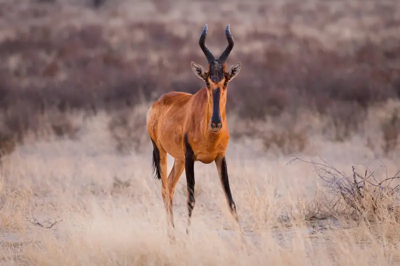
    The route leads from Upington to the Kgalagadi Transfrontier Park with red dunes, lions, cheetahs and oryx, then to the Augrabies Falls on the Orange and via Springbok to Namaqualand. Distances are long: plan full driving days, refuel at every chance.

    14 Days
    5 stops

    Nearby

    Free State

    Free State

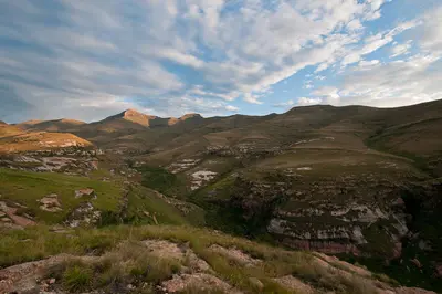
    The Free State lies on the high plateau in the heart of South Africa. For travelers, the east is especially interesting: the sandstone mountains of the Golden Gate Highlands National Park and the artist village Clarens at the foot of the Maluti Mountains, near the border with Lesotho.
    Upington

    Upington

    Upington is the largest city in the north of the Northern Cape, situated on the Orange River, creating a green oasis of vineyards, raisin and date farms in the semi-desert. For travellers, it serves mainly as a supply stop and base for the Kgalagadi and the Augrabies Falls.
    Clarens

    Clarens

    Clarens is an artists' village in the eastern Free State, in the Maluti foothills. Galleries, cafés, and a known craft brewery dot the village square. The Golden Gate Highlands National Park lies just 20 km east.
    Golden Gate Highlands National Park

    Golden Gate Highlands National Park

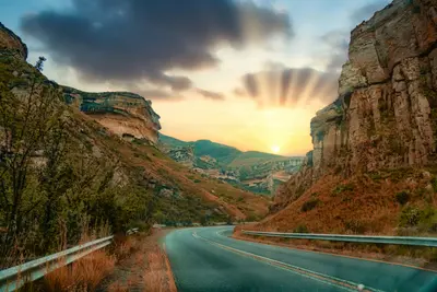
    The Golden Gate Highlands National Park is named after its golden-yellow sandstone cliffs, which glow particularly intensely at sunset. In the grasslands live zebras, eland, wildebeest, and bearded vultures. Trails like the Brandwag Trail and a panoramic road open up the park.
    Graaff-Reinet

    Graaff-Reinet

    Graaff-Reinet lies in a loop of the Sundays River in the heart of the Karoo, approximately three hours' drive north of Gqeberha. Founded in 1786, the town is considered the fourth oldest in the country and boasts over 200 heritage buildings. Right on the outskirts of town lies the Valley of Desolation with its rock pillars.

    Sources & method

    • Photos: Unsplash, Pexels. Each photo carries its credit.
    • The content is based on web research from public, traceable sources. How the content is made · The role of AI