Fernweh: Home
ExploreGuideDestinationsMy tripsMy trip
de|en
All Places & RegionsRound tripsNight trains in EuropeAll highlightsAbout FernwehFAQPrivacy PolicyImprint
Download on the App StoreGet it on Google Play
ExploreGuideDestinationsMy tripsMy trip
    • Places in the region
    • Recommendations
    • Culture
    • Getting around
    • Round trips
    • Nearby
    Ngorongoro Conservation Area

    Photo by Dirk Pothen on Pexels

    Tanzania

    Ngorongoro Conservation Area

    RegionUNESCO

    The Ngorongoro Conservation Area, located between Lake Manyara and Serengeti, is famous for the Ngorongoro Crater: a collapse caldera approximately 20 km wide and about 600 m deep, home to abundant wildlife on its floor.

    by Felix Gillen

    1. Home
    2. Destinations
    3. Tanzania
    4. Ngorongoro Conservation Area
    The Ngorongoro Conservation Area, located between Lake Manyara and Serengeti, is famous for the Ngorongoro Crater: a collapse caldera approximately 20 km wide and about 600 m deep, home to abundant wildlife on its floor. The conservation area spans over 8,000 km², including the Olduvai Gorge, other craters, and Maasai grazing lands. It has been a UNESCO World Heritage site since 1979, and since 2010 also recognized for its cultural significance.
    Tanzania travel guideSee the round tripPlan a trip with Ngorongoro Conservation Area

    Contents

    • Places in the region
    • Recommendations
    • Culture
    • Getting around
    • Round trips
    • Nearby

    Sights in Ngorongoro Conservation Area

    Discover the most important sights and attractions

    Museum

    Olduvai Gorge and Museum

    The approximately 48 km long and up to 90 m deep gorge is one of the most significant sites for early human research. In 1959, Mary Leakey discovered here the skull of Zinjanthropus (Paranthropus boisei). A small museum at the gorge's edge showcases finds and the history of the excavations.
    Open in Google Maps
    Ngorongoro Crater

    Photo by Lan Yao on Pexels

    Ngorongoro Crater

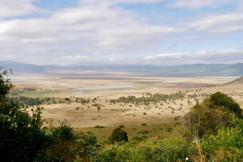
    The approximately 20 km wide and about 600 m deep crater is the heart of the protected area. The approximately 260 km² crater floor, featuring grassland, the Lerai Forest, and Lake Magadi, supports a dense wildlife population in a confined space. The crater descent costs an extra 295 USD per vehicle, excluding the entrance fee. Driving is restricted to 6 AM and 6 PM.
    Open in Google Maps
    Park

    Lerai Wood

    Forest on the crater floor, fed by the Lerai Stream. Among other animals, waterbucks reside here.
    Open in Google Maps
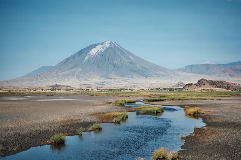
    Ol Doinyo Lengai

    “Lengai from Natron” by Clem23 / Wikimedia Commons / CC BY-SA 3.0, mod.

    Ol Doinyo Lengai

    The 2,962 m high volcano on the northeastern edge of the protected area is the only volcano known for eruptions of natrocarbonatite lava, most recently with a major eruption in 2007. To the north lies Lake Natron.
    Open in Google Maps

    Nature and Early History

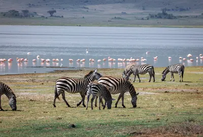
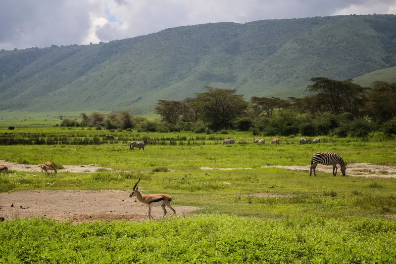
    The CraterThe crater floor spans approximately 260 km². Waterbucks live in the Lerai Forest, fed by the Lerai Stream; thousands of Lesser Flamingos often gather in the seasonal Lake Magadi in the southwest. A picnic site with hippos is located at Ngoitokitok Spring on the eastern wall.Olduvai and LaetoliIn Olduvai Gorge, Mary Leakey discovered the skull of Zinjanthropus (Paranthropus boisei) in 1959, and fossils of Homo habilis also originate from here. A small museum on the gorge rim tells their story. The Laetoli footprints were discovered in 1976 and reburied for protection in 1979.MaasaiSince 1959, wildlife and the Maasai have shared the area, which is why it has also been listed as a World Heritage site since 2010.

    Arrival and Rules

    Getting ThereLodoare Gate is 15 km (approx. 30 mins) from Karatu, which is about 140 km (3 hours) from Arusha. From the gate, it's roughly an hour's drive to the crater rim. The Serengeti (Naabi Hill Gate) is another 85 km (2-3 hours) further.FeesAccording to NCAA, non-Tanzanian resident adults pay USD 70.80 per 24 hours, children USD 23.60, and entry is free for those under 5. An additional fee of USD 295 per vehicle applies for driving into the crater.RulesDriving is permitted only between 6 AM and 6 PM.Off-road driving is prohibited; maintain a minimum 25 m distance from animals.Speed limit 50 km/h, 25 km/h within the crater.EmpakaaiEmpakaai Crater, with its soda lake, is located about a 2-hour drive from Ngorongoro Crater and is only accessible by 4x4.

    Round trips through this region

    Safari in the North and Zanzibar

    Safari in the North and Zanzibar

    The classic combination: from Arusha via Tarangire and Lake Manyara to the Ngorongoro Crater and into the Serengeti, followed by a flight to Zanzibar, including Stone Town and the East Coast. Safari driving times per leg are two to four hours, the onward journey to Zanzibar is by domestic flight.

    14 Days
    7 stops
    Open jaw

    Blue Ox Studio·Pexels

    Nearby

    Lake Manyara National Park

    Lake Manyara National Park

    Lake Manyara National Park is two hours west of Arusha, at the Rift Valley escarpment's base. Much of the park is the lake itself, its shores lined with evergreen groundwater forests of fig and mahogany. It's a good stop en route to Ngorongoro Crater.

    Kilinge Adventures·Pexels

    Tarangire National Park

    Tarangire National Park

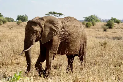
    Tarangire National Park, located approximately 118 km southwest of Arusha, is renowned for its large elephant herds and mighty baobab trees. Covering around 2,850 km², the Tarangire River shapes the landscape: During the dry season, it is the most important water source, and animals gather on its banks and in the swamps. The park is usually the first stop on a northern safari.

    Brett Bennett·Pexels

    Arusha

    Arusha

    Arusha, nestled at around 1,400 m at the foot of Mount Meru, is the gateway to safaris in northern Tanzania. From here, safaris depart for Tarangire, Lake Manyara, Ngorongoro, and the Serengeti. Before you set off, explore the Central Market, small museums detailing the city's history, and take a day trip to the nearby Arusha National Park.

    Blue Ox Studio·Pexels

    Serengeti National Park

    Serengeti National Park

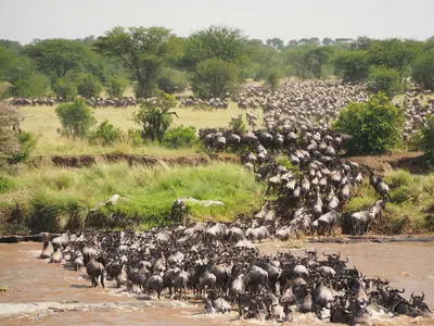
    The Serengeti National Park in northern Tanzania, spanning 14,763 km², is one of the world's most famous protected areas and has been a UNESCO World Heritage site since 1981. Here, every year, the Great Migration of well over a million wildebeest, accompanied by zebras and gazelles, moves in a circular path through the savanna. The central Seronera Valley is known for big cats, the Southern Serengeti for the calving season, and the north for the Mara River crossings.

    Jorge Tung·Unsplash

    Lake Magadi

    Lake Magadi

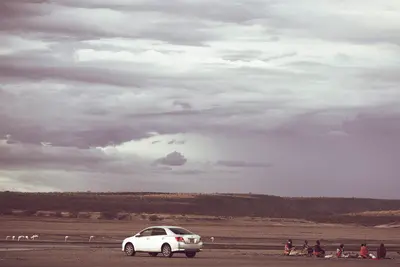
    Lake Magadi is the southernmost lake in the Kenyan Rift Valley, about 100 km southwest of Nairobi near the Tanzanian border. During the dry season, a soda crust covers about 80 percent of its surface, hot springs feed the lake, and flamingos and other wading birds live on its shores.En route, a stop at the prehistoric site of Olorgesailie is worthwhile, featuring Acheulean hand axes.

    Antony Trivet·CC BY-SA 4.0

    Your next steps

    Ngorongoro Conservation Area is in Tanzania. Ways to carry on from here.

    • More in Tanzania

      Highlights, areas, routes and the best time to travel for all of Tanzania.

      Tanzania travel guide
    • Round trips with Ngorongoro Conservation Area

      One route passes through Ngorongoro Conservation Area, with stops, nights and a map.

      See the round trip
    • Plan a trip with Ngorongoro Conservation Area

      The Guide asks about season, length and who is coming, and suggests a trip with Ngorongoro Conservation Area.

      Plan the trip

    Sources & method

    • Photos: Wikimedia Commons, Unsplash, Pexels. Each photo carries its credit.
    • Place data such as addresses and ratings comes from Google Maps.
    • The content is based on web research from public, traceable sources. How the content is made · The role of AI