Fernweh: Home
ExploreGuideDestinationsMy tripsMy trip
de|en
All Places & RegionsRound tripsNight trains in EuropeAll highlightsAbout FernwehFAQPrivacy PolicyImprint
Download on the App StoreGet it on Google Play
ExploreGuideDestinationsMy tripsMy trip
    • Neighborhoods & highlights
    • Recommendations
    • Tours
    • Eat & drink
    • Culture
    • Getting around
    • Accommodation
    • Plan trip
    • Round trips
    • Nearby
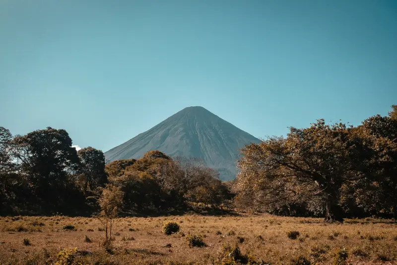
    Ometepe

    Photo by Sophie on Unsplash

    Nicaragua

    Ometepe

    CityNatureMountains

    Ometepe in Lake Nicaragua consists of two volcanoes connected by a narrow land bridge: the active, symmetrical Concepción (approx. 1,610 m) and the forested Maderas (1,394 m) with a crater lagoon.

    by Felix Gillen

    1. Home
    2. Destinations
    3. Nicaragua
    4. Ometepe and the South
    5. Ometepe
    Ometepe in Lake Nicaragua consists of two volcanoes connected by a narrow land bridge: the active, symmetrical Concepción (approx. 1,610 m) and the forested Maderas (1,394 m) with a crater lagoon. The approximately 276 km² island has been a UNESCO Biosphere Reserve since 2010. Travelers come for hiking, petroglyphs, spring-fed pools, and the tranquil island life; the ferry from San Jorge near Rivas takes a good hour.
    Nicaragua travel guideSee the round tripPlan a trip with Ometepe

    Contents

    • Neighborhoods & highlights
    • Recommendations
    • Tours
    • Eat & drink
    • Culture
    • Getting around
    • Accommodation
    • Round trips
    • Nearby

    Sights in Ometepe

    Discover the most important sights and attractions

    Concepción Volcano

    Photo by Ivana Cajina on Unsplash

    Natural Feature

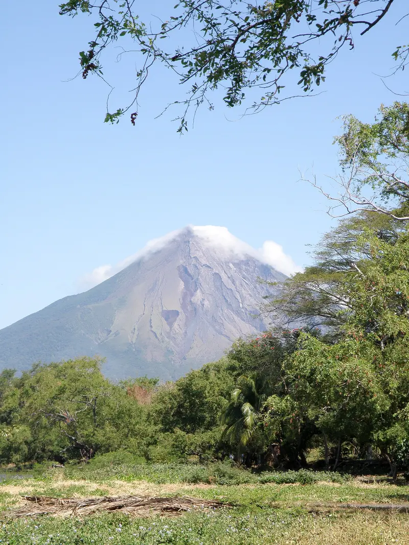
    1Concepción Volcano

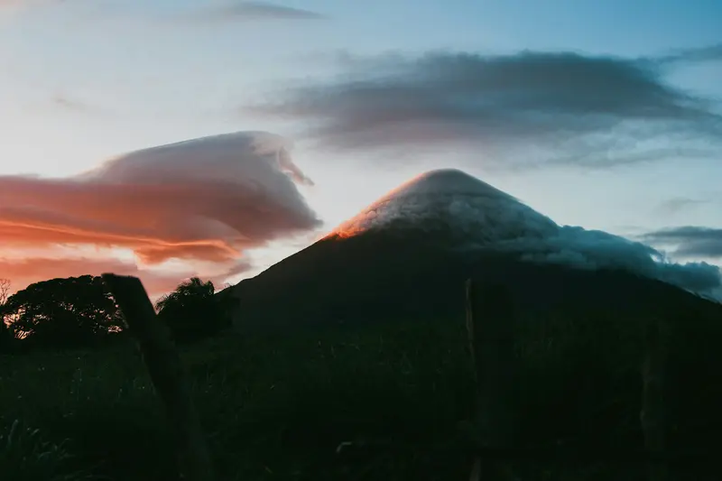
    The symmetrical cone of Concepción is approximately 1,610 m high and active; in May 2024, the INETER institute reported a small explosion with gas and ash. The ascent is strenuous: 8 to 10 hours round trip depending on the route, steep and without shade above the tree line, the summit is almost always in the clouds. Travel guides advise going only with an experienced guide. The Foreign Office provides information on volcanic activity and safety; it points out that an evacuation on the island would be difficult.
    Open in Google Maps
    Attraction

    2San Ramón Waterfall

    The roughly 40 m high waterfall on the south flank of Maderas is on the grounds of the Estación Biológica de Ometepe. The trail is about 3.7 km long; you can drive the first 2.2 km, followed by a 30 to 40-minute walk through the forest.
    Open in Google Maps
    Volcano Maderas

    “Climbing the volcano Madera (Ometepe Island, Nicaragua) (26368992560)” by Sasha India / Wikimedia Commons / CC BY 2.0, mod.

    Attraction

    3Volcano Maderas

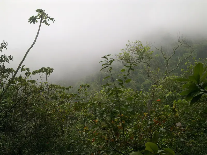
    The 1,394m dormant Maderas Volcano in the island's southeast is cloud-forest covered, with a crater lagoon. The 7-8 hour round-trip ascent is often muddy; starting points: Finca Magdalena, Hacienda Mérida, among others. Guidebooks mandate a guide; ropes are needed for crater lagoon descent.
    Open in Google Maps
    Ojo de Agua

    “Ojo de Agua Altagracia” by Mat Honan / Wikimedia Commons / CC BY 2.0, mod.

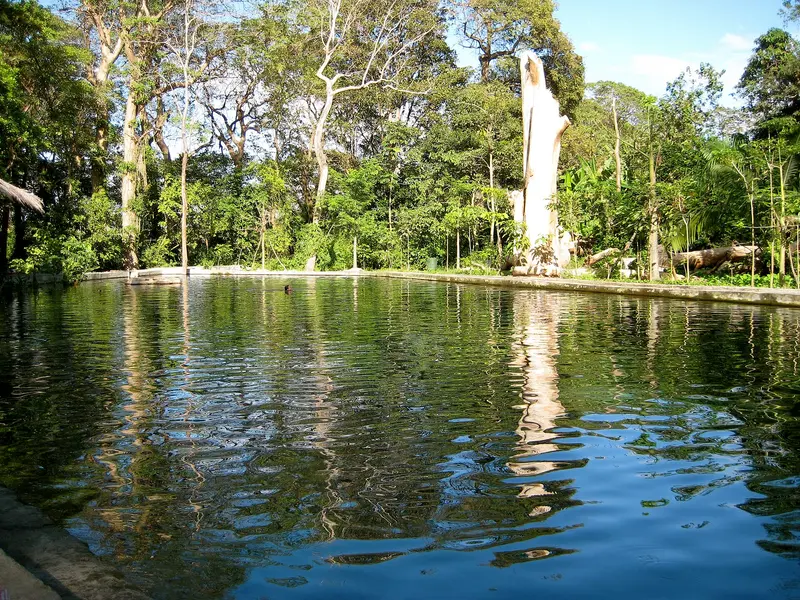
    4Ojo de Agua

    The spring-fed, enclosed natural pool in the forest near Santo Domingo, on the isthmus between the two volcanoes, is a popular swimming spot with clear water. It features changing rooms and a small restaurant; admission is charged. Ideal for cooling off after a hike and easily manageable with children.
    Open in Google Maps
    Punta Jesús María

    “OmetepeView 04” by BluesyPete / Wikimedia Commons / CC BY-SA 3.0, mod.

    5Punta Jesús María

    South of Moyogalpa, a sand spit stretches over a kilometer into Lake Nicaragua in the dry season. It is most impressive in the dry season; in the rainy season, it is much shorter.
    Open in Google Maps
    Playa Santo Domingo

    “Beach Vista - Near Santo Domingo - Ometepe Island - Nicaragua (30956109804)” by Adam Jones from Kelowna, BC, Canada / Wikimedia Commons / CC BY-SA 2.0, mod.

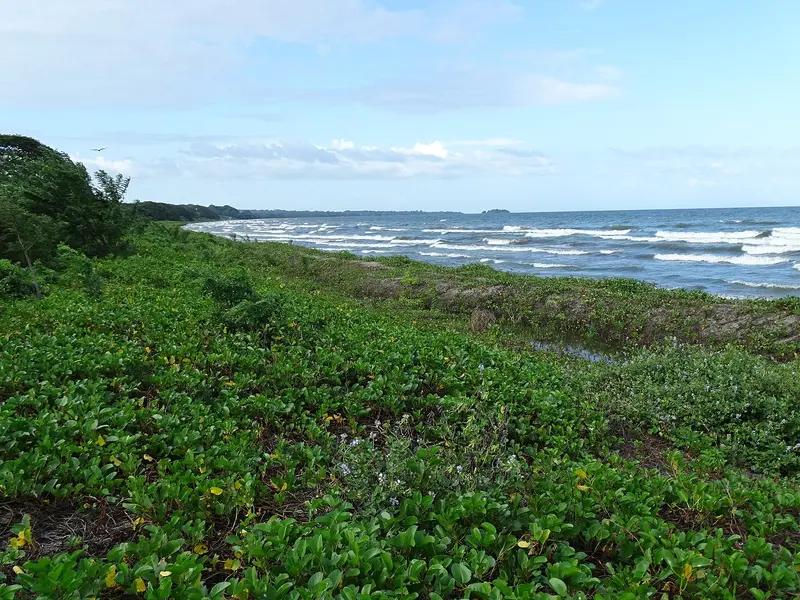
    6Playa Santo Domingo

    The sandy beach on the east side of the isthmus is the only easily accessible beach on this side of the island, overlooking both volcanoes. In the rainy season, with high sea levels, it can almost disappear for months.
    Open in Google Maps

    Tours & experiences in Ometepe

    Search tours for Ometepe on GetYourGuide* (Affiliate link)On GetYourGuide, with reviews from other travellers

    * Affiliate link: if you book through it, we earn a small commission. The price stays the same for you.

    Restaurants in Ometepe

    1

    Café Campestre

    Café-restaurant in Balgüe on the Maderas side of the island, listed by Lonely Planet as a top recommendation. Many ingredients come from the neighboring organic farm; the menu includes dishes like curries and hummus.
    Show on Google Maps
    2

    El Pital Chocolate Paradise

    Organic cacao farm with a relaxed café between Santa Cruz and Balgüe. Besides vegetarian dishes, there's chocolate from their own cultivation; according to Lonely Planet, chocolate courses are also offered.
    Show on Google Maps
    3

    El Picante Mexican Restaurant

    This small restaurant is just a few steps from Moyogalpa's ferry dock, offering Mexican cuisine like fajitas, plus cocktails and smoothies. The owner is happy to provide guests with island tips.
    Show on Google Maps
    4

    Caballito's Mar

    The open-air Rancho Restaurant is located directly on the lakeshore of Mérida, on the Maderas side of the island. It offers freshly fried fish, pasta, salads, and pancakes for breakfast; kayak excursions also start from here. It's a good complement to a trip to San Ramón Waterfall.
    Show on Google Maps

    Nature & Culture

    Biosphere ReserveSince 2010, Ometepe has been a UNESCO Biosphere Reserve. Cloud forest grows on Maderas, and Reserva Charco Verde on the south coast offers short lakeside trails.PetroglyphsOn the Maderas side, research has identified over 70 sites with about 1,700 rock carvings, including Finca Magdalena. Pre-Columbian finds can be viewed at the Museo de Ometepe in Altagracia and the Museos El Ceibo near Moyogalpa.

    Getting there & around

    FerryFerries and lanchas operate regularly during the day from San Jorge near Rivas to Moyogalpa; the crossing takes a good hour, depending on the weather. Schedules are weather-dependent; check them locally.A small tourism tax is levied upon departure from the mainland.On the IslandBuses connect the towns but are slow; only a few run daily to Balgüe and Mérida.Many travelers rent a scooter. Do not drive at night, and photograph the vehicle when collecting it.For volcano hikes, take a guide. For volcano activity and safety, see the UK FCDO travel advice for Nicaragua.There are few ATMs on the island, so bring cash with you.

    Accommodations in Ometepe

    Find perfect stay in Ometepe

    Booking.com* (Affiliate link)
    Search Hotels
    Agoda* (Affiliate link)
    Search Hotels
    Airbnb
    Vacation Rentals

    * Affiliate link: if you book through it, we earn a small commission. The price stays the same for you.

    Plan your trip to Ometepe

    Save places, build a route and plan your city trip, all in one place.

    1. 1
      Sunrise over alpine peaks and a sea of clouds
      1234

      Round trip

      12 days · 4 stops

      Saved

      Pick a route

      Pick a ready-made one or save places and plan your own.

      Open bookmarks
    2. 2

      Trip to Ometepe

      Live
      • 1Concepción Volcano3 days
      • 2San Ramón Waterfall4 days
      • 3Volcano Maderas5 days
      Budget

      Plan your trip

      The planner sorts stops, days and budget. Plan together in real time.

      Start trip planning
    3. 3
      9:41 No signal
      Ometepe
      Available offline

      Photo by Sophie on Unsplash

      Use it on the road

      Download the guide to your phone and use it on site, even offline.

    Round trips with Ometepe

    Colonial cities, volcanoes and Pacific

    Colonial cities, volcanoes and Pacific

    Classic Western Nicaragua loop: from university city León, past Masaya volcanoes and crater lake, to Granada, to Ometepe Island and San Juan del Sur's surf beaches. Short legs; buses and shuttles link all stops. With more time, add a flight to the Corn Islands.

    13 Days
    4 stops

    Byralaal·CC BY-SA 4.0

    Nearby

    Ometepe and the South

    Ometepe and the South

    In the south of the country, in the Department of Rivas, two of Nicaragua's most popular destinations are located close to each other: the twin-volcano island of Ometepe in Lake Nicaragua and the surf town San Juan del Sur on the Pacific coast. Rivas is the hub: From there, a bus takes about an hour to San Juan del Sur, and in nearby San Jorge, ferries depart for Ometepe, with the crossing also taking about an hour.

    Paul Biondi·CC0

    San Juan del Sur

    San Juan del Sur

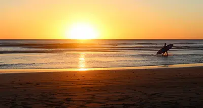
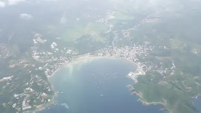
    San Juan del Sur, on a crescent bay of Nicaragua's southern Pacific coast, is a popular resort and hub for local surf beaches. Weekdays are quiet; weekends bring many backpackers to party. Overlooking the bay is the Cristo de la Misericordia Christ statue; to its south, the La Flor turtle reserve.

    JorgeRodriguez·CC BY-SA 4.0

    Popoyo and Playa Gigante

    Popoyo and Playa Gigante

    Popoyo and Playa Gigante lie on the Pacific coast of Tola municipality in Rivas department, north of San Juan del Sur. Both were fishing villages and are now surf destinations, with waves ranging from beginner beaches such as Playa Amarillo to the Popoyo Outer Reef, which is for experienced surfers only. Between the surf spots lie long sandy beaches such as Playa Guasacate and small villages such as Las Salinas.For information on the dangers of swimming and water sports in the sea, see the UK FCDO travel advice.

    Ridiculopathy·CC0

    Granada

    Granada

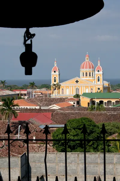
    Located on the western shore of Lake Nicaragua, Granada entices with colorful colonial houses, churches, and squares against the backdrop of Mombacho Volcano, serving as the classic base for exploring western Nicaragua. Founded by Francisco Hernández de Córdoba in 1524, it ranks among the oldest Spanish cities on the American mainland. In 1856, the troops of adventurer William Walker burned Granada to the ground during their retreat, and many buildings were subsequently rebuilt.

    Sebastian Scheper·CC BY-SA 4.0

    Laguna de Apoyo

    Laguna de Apoyo

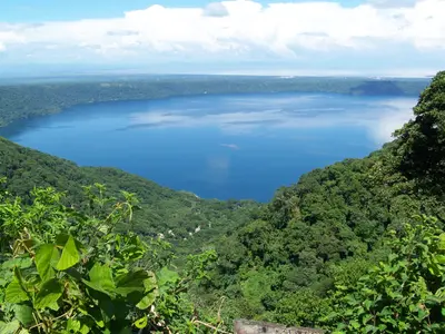
    Laguna de Apoyo, located between Granada and Masaya, is a clear crater lake formed approximately 23,000 years ago when a volcano collapsed. Travelers come here to swim, kayak, and relax on its forested shores, just about 20 minutes from Granada. The lake reaches depths of up to 175 meters, measures approximately 6.6 km in diameter, and is protected as a nature reserve.

    Zuluniga·CC0

    Your next steps

    Ometepe is in Nicaragua. Ways to carry on from here.

    • More in Nicaragua

      Highlights, areas, routes and the best time to travel for all of Nicaragua.

      Nicaragua travel guide
    • Round trips with Ometepe

      One route passes through Ometepe, with stops, nights and a map.

      See the round trip

    Sources & method

    • Photos: Wikimedia Commons, Unsplash. Each photo carries its credit.
    • Place data such as addresses and ratings comes from Google Maps.
    • The content is based on web research from public, traceable sources. How the content is made · The role of AI