Fernweh: Home
    ExploreTravel GuidesPlan a tripMy tripLast visited
    de|en
    All Places & RegionsAll highlightsAbout FernwehFAQPrivacy PolicyImprint
    ExploreTravel GuidesPlan a tripMy tripLast visited
    • Overview
    • Places in the region
    • Eat & drink
    • Food culture
    • Best travel time
    • Culture
    • Getting around
    • Nearby
    Kakadu National Park

    Australia

    Kakadu National Park

    Region

    Kakadu National Park in the north of the Northern Territory is Australia's largest national park, spanning nearly 20,000 km².

    by Felix Gillen

    1. Home
    2. Destinations
    3. Australia
    4. Kakadu National Park
    Kakadu National Park in the north of the Northern Territory is Australia's largest national park, spanning nearly 20,000 km². It stretches from tidal rivers on the coast across vast wetlands to the Arnhem Plateau escarpment with its waterfalls.The park is listed as a natural and cultural heritage site on the UNESCO World Heritage List. The Bininj/Mungguy have lived here for at least 65,000 years, and their rock art at Ubirr and Burrunggui is among the most significant in the world.
    The Kakadu National Park, a UNESCO World Heritage site, represents one of the world's oldest living cultures and has been home to the Aborigines for over 65,000 years. There, you'll find impressive rock art at sites like Ubirr and Nourlangie, offering deep insights into their history and worldview. The landscape is characterized by vast wetlands, majestic waterfalls like Jim Jim Falls and Twin Falls, and striking sandstone escarpments. A boat trip on the Yellow Water Billabong offers the chance to observe saltwater crocodiles and a rich birdlife. The best time to visit is the dry season from May to October, as most areas are accessible then. Plan for at least three to five days for a comprehensive visit to experience the region's diversity.
    Rock art of Nourlangie (Burrunggui)

    Place 1 of 3

    Rock art of Nourlangie (Burrunggui)

    Burrunggui, also known as Nourlangie Rock, is a sandstone rock on the edge of the Arnhem Plateau in Kakadu National Park.

    Discover
    The Wetlands of Yellow Water

    Place 2 of 3

    The Wetlands of Yellow Water

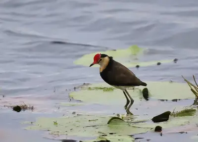
    Yellow Water, on Gundjeihmi Ngurrungurrudjba, is a billabong on the South Alligator River near Cooinda in the heart of Kakadu National Park. During the dry season, saltwater crocodiles, water buffalo, and thousands of waterfowl gather here.

    Discover
    Ubirr Rock Outcrop and Panoramic View

    Place 3 of 3

    Ubirr Rock Outcrop and Panoramic View

    Ubirr is located in the northeast of Kakadu National Park, near the East Alligator River, the border to Arnhem Land. Under the rock overhangs, X-ray style paintings depict fish, turtles, and wallabies, as well as Mimih spirit figures and a thylacine.

    Discover

    Sights in Kakadu National Park

    Discover the most important sights and attractions

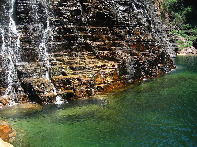
    Jim Jim Falls

    Jim Jim Falls

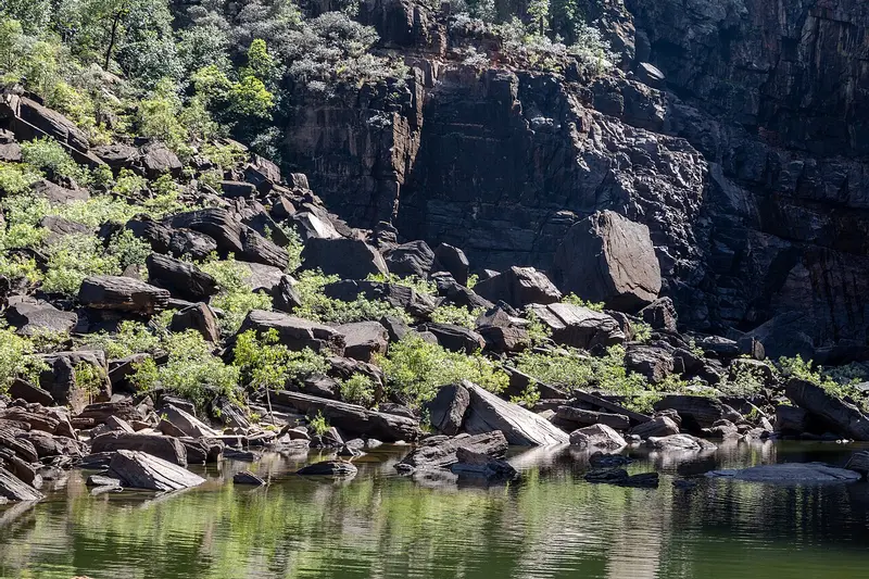
    The waterfall plunges approximately 200 m over the rock edge of the Arnhem Plateau into a deep basin. During the rainy season, it is most powerful, but then usually only visible from the air. The access road is an unpaved track, only passable by 4x4 and only during the dry season; the last section is a walk over boulders. Towards the end of the dry season, the falls can dry up.
    Open in Google Maps
    Twin Falls

    Twin Falls

    Two waterfalls at the end of a gorge south of Jim Jim Falls. Following the 4WD track, a boat shuttle takes you through the gorge, then a short walk. No swimming due to crocodiles. Reachable only in the dry season, usually from June.
    Open in Google Maps

    Warradjan Cultural Centre

    A cultural centre at Cooinda, shaped like a turtle. The exhibition explains the life, languages, and annual cycle of the Bininj/Mungguy, including their six seasons. A great stop before or after your Yellow Water Billabong boat tour.
    Open in Google Maps
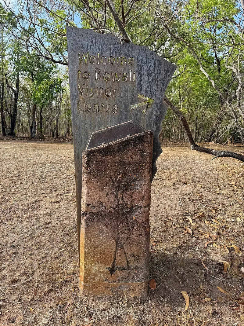
    Bowali Visitor Centre

    Bowali Visitor Centre

    The Visitor Centre near Jabiru is your first stop in the park: an exhibition on landscape and culture, current information on road and track closures, and Ranger programs.
    Open in Google Maps
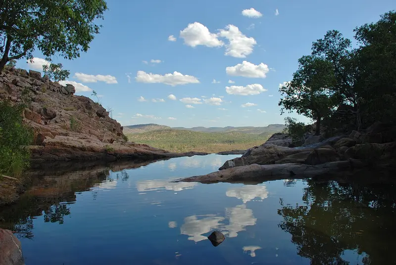
    Gunlom Falls

    Gunlom Falls

    Southern park waterfall with pool. A steep path leads to natural cliff-edge pools with wide lowlands views. Paths are temporarily closed for Traditional Owner consultations; check status with Parks Australia before travel.
    Open in Google Maps

    Restaurants in Kakadu National Park

    Barra Bar & Bistro

    Cooinda Lodge Bistro near Yellow Water Billabong with burgers, pizza and barramundi, also open for campsite guests.
    Show on Google Maps

    Manjmukmuk Restaurant & Bar

    Restaurant and Bar at the Mercure Kakadu Crocodile Hotel, Jabiru's crocodile-shaped hotel. One of the few addresses in the Park with full dinner service.
    Show on Google Maps

    Food & Drink

    Restaurants are only available in Jabiru and Cooinda. Those exploring the park can stock up at the supermarket in Jabiru or bring supplies from Darwin.

    Barramundi

    Fish from the northern rivers is almost always on the menu in the lodges, grilled or as Fish and Chips.

    Bush tucker

    On cultural tours, guides show edible plants, fruits, and traditional preparations, such as water lilies or Magpie Geese.

    Best Time to Visit

    When is the best time for your trip?

    May
    June
    July
    August
    September
    25–28°C·2–15 mm(little rain)
    During the dry season from May to September, almost all roads, paths, and waterfalls are accessible, and the air is less humid. In May and June, the waterfalls still carry a lot of water.
    Values for Jabiru. In the tropical North, wet and dry seasons dictate travel more than temperature.

    Seasons

    Jan
    Feb
    Mar
    Apr
    May
    Jun
    Jul
    Aug
    Sep
    Oct
    Nov
    Dec
    Dry season
    Pre-storm conditions, very muggy
    Rainy season, many tracks closed
    Best Time to Visit
    ▶Show detailed monthly data
    MonthTemp (°C)Rain (mm)
    January29.0380
    February28.0360
    March28.0310
    April28.090
    May27.015
    June25.02
    July25.02
    August26.02
    September28.010
    October30.045
    November30.0150
    December29.0260

    Culture & History

    Land of the Bininj/MungguyThe park is jointly managed by the Traditional Owners and Parks Australia. Several languages are spoken here, including Gundjeihmi and Kunwinjku. The rock art ranges from very ancient figures to depictions of European ships, showing how people documented their environment over millennia. Some areas may not be entered; signs and rangers indicate this.Six SeasonsInstead of summer and winter, the Bininj distinguish six seasons, from the Gudjewg wet season to the humid pre-monsoon Gunumeleng. The Warradjan Cultural Centre near Cooinda explains this calendar and the role of fire, water, and hunting through the year.

    Exploring locally

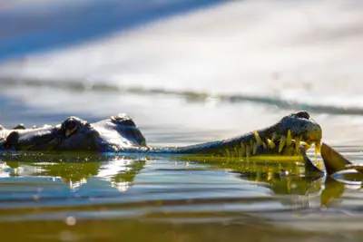
    From Darwin, it's about 250 km via the Arnhem Highway to Jabiru, the only town in the park. The main roads are asphalted and passable all year round, as long as they are not flooded.Park Pass: A park pass is required for your visit, available online from Parks Australia.4WD Vehicle: Essential for Jim Jim and Twin Falls. These tracks usually open only in June or July.Wet Season: From November to April, many tracks, paths, and campsites are closed. However, the waterfalls are at their most powerful and impressive from the air.Crocodiles: Saltwater crocodiles live in rivers, billabongs, and even gorges. Only swim where explicitly permitted, and keep your distance from the bank.

    Nearby

    The Wetlands of Yellow Water

    The Wetlands of Yellow Water

    Yellow Water, on Gundjeihmi Ngurrungurrudjba, is a billabong on the South Alligator River near Cooinda in the heart of Kakadu National Park. During the dry season, saltwater crocodiles, water buffalo, and thousands of waterfowl gather here.The best way to experience the area is on one of the guided boat tours, which depart several times daily from Cooinda Lodge.
    Rock art of Nourlangie (Burrunggui)

    Rock art of Nourlangie (Burrunggui)

    Burrunggui, also known as Nourlangie Rock, is a sandstone rock on the edge of the Arnhem Plateau in Kakadu National Park. Beneath its overhangs lie some of Australia's most renowned rock art, including the Anbangbang Gallery featuring Namarrgon, the Lightning Man.An asphalted loop trail of about 1.5 km connects the galleries and a lookout point. The access road from the Kakadu Highway is passable by any car.
    Ubirr Rock Outcrop and Panoramic View

    Ubirr Rock Outcrop and Panoramic View

    Ubirr is located in the northeast of Kakadu National Park, near the East Alligator River, the border to Arnhem Land. Under the rock overhangs, X-ray style paintings depict fish, turtles, and wallabies, as well as Mimih spirit figures and a thylacine.A short climb leads to the Nadab Lookout with views over the floodplain. The sunset from here is one of the most visited moments in the park. The road to Ubirr can be flooded during the wet season.
    Darwin

    Darwin

    Darwin is the tropical capital of the Northern Territory and the gateway to Kakadu and Litchfield. A relaxed coastal town with night markets, sunsets, and rich war history.
    Kununurra

    Kununurra

    Kununurra, in the east of the Kimberley, was established in the 1960s as the heart of the Ord River Irrigation Scheme. Today, approximately 5,000 people reside here, surrounded by irrigated fields of mangos, melons, and sandalwood, Lake Kununurra, and the red rocks of Mirima National Park.The town is a starting point for Lake Argyle, the Bungle Bungles, and the eastern end of the Gibb River Road.

    Sources & method

    • Photos: Wikimedia Commons, Pexels. Each photo carries its credit.
    • The content is based on web research from public, traceable sources. How the content is made · The role of AI