Fernweh: Home
    ExploreTravel GuidesPlan a tripMy tripLast visited
    de|en
    All Places & RegionsAll highlightsAbout FernwehFAQPrivacy PolicyImprint
    ExploreTravel GuidesPlan a tripMy tripLast visited
    Kununurra

    Australia

    Kununurra

    TownNature

    Kununurra, in the east of the Kimberley, was established in the 1960s as the heart of the Ord River Irrigation Scheme.

    by Felix Gillen

    1. Home
    2. Destinations
    3. Australia
    4. Kimberley
    5. Kununurra
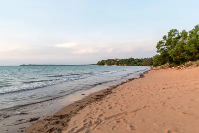
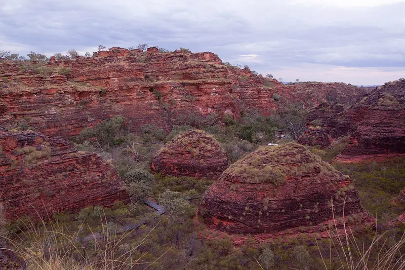
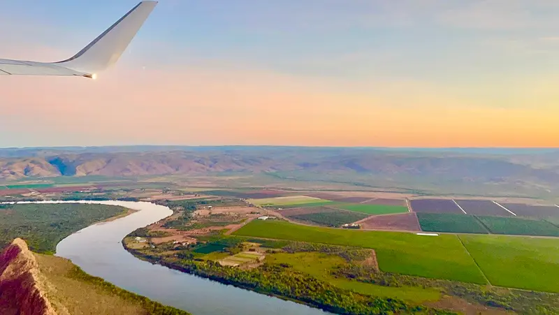
    Kununurra, in the east of the Kimberley, was established in the 1960s as the heart of the Ord River Irrigation Scheme. Today, approximately 5,000 people reside here, surrounded by irrigated fields of mangos, melons, and sandalwood, Lake Kununurra, and the red rocks of Mirima National Park.The town is a starting point for Lake Argyle, the Bungle Bungles, and the eastern end of the Gibb River Road.

    Sehenswürdigkeiten

    Discover the most important sights and attractions
    Mirima Rock Formations

    1Mirima Rock Formations

    Attraction in Hidden Valley Rd.
    Open in Google Maps

    2Artopia Gallery

    Gallery in 116 Coolibah Dr.
    Open in Google Maps

    3Kununurra Museum

    Museum in 72 Coolibah Dr.
    Open in Google Maps
    Ord River

    4Ord River

    Attraction in Kununurra Western Australia 6743.
    Open in Google Maps

    5Kununurra Visitor Centre

    Attraction in 75 Coolibah Dr.
    Open in Google Maps

    6Celebrity Tree Park

    Park in Kununurra Western Australia 6743.
    Open in Google Maps

    Essen & Trinken

    Gourmet Camp Oven Experience

    Restaurant in 75 Coolibah Dr.
    Show on Google Maps

    Blak Tapas Café & Catering

    Café in 120 Konkerberry Dr.
    Show on Google Maps

    RASA by Amelia

    Restaurant in 8 Bloodwood Dr.
    Show on Google Maps

    Kimbercrust Bakery & Top End Ice

    Bakery in 3 Konkerberry Dr.
    Show on Google Maps
    1

    Gullivers Tavern

    Pub in the centre of Kununurra with a beer garden and classic pub dishes, a meeting point for locals and travellers.
    Show on Google Maps
    2

    Kimberley Asian Cuisine

    Unpretentious Asian restaurant in the town center, offering dishes for takeout and dining in.
    Show on Google Maps
    3

    The Ord Barra Shak

    Downtown eatery featuring Barramundi and other regional fish, fried or grilled, plus fries.
    Show on Google Maps

    Culture and History

    Kununurra is located on Miriwoong Country. Its cultural center, Waringarri Aboriginal Arts, is one of the Kimberley's most renowned art centers, where artists work and sell directly. Painting from the region often utilizes natural ochre colours in earthy tones.The town itself is young: It was founded for the Ord River irrigation project, which, with the Diversion Dam and later the Ord River Dam, only made agriculture in the region possible.

    Exploring locally

    The airport has connections to Perth, Darwin and Broome. In town, almost everything is within walking distance; for Mirima, Lake Argyle and the surrounding area, you need a car.Distances: Darwin approx. 830 km, Broome approx. 1,040 km, Lake Argyle approx. 70 km.Quarantine: There is a checkpoint at the border from Northern Territory to Western Australia; fresh fruit, vegetables, and honey may not be imported.Time Zone: Western Australia is 1.5 hours behind Northern Territory.

    Accommodations in Kununurra

    Find perfect stay in Kununurra

    Booking.com* (Affiliate link)
    Search Hotels
    Agoda* (Affiliate link)
    Search Hotels
    Airbnb
    Vacation Rentals

    * Affiliate link: if you book through it, we earn a small commission. The price stays the same for you.

    Nearby

    Purnululu National Park

    Purnululu National Park

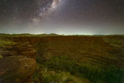
    Purnululu National Park, located in the east of the Kimberley, protects the Bungle Bungle Range, a field of striped sandstone domes that only became known outside the region in 1983. Since 2003, the park has been a UNESCO World Heritage site.Access is via a 53 km long 4WD track; the park is only open during the dry season. Many visitors therefore arrive by scenic flight from Kununurra.
    Kimberley

    Kimberley

    At roughly 420,000 km², the Kimberley in northern Western Australia is larger than Germany, yet home to only about 40,000 inhabitants. Gorges, waterfalls, the Bungle Bungles' beehive domes, and a rugged coast with extreme tides define the region.Most travellers start in Broome in the west or Kununurra in the east. Between these, the Gibb River Road leads through the outback.
    Darwin

    Darwin

    Darwin is the tropical capital of the Northern Territory and the gateway to Kakadu and Litchfield. A relaxed coastal town with night markets, sunsets, and rich war history.
    Kakadu National Park

    Kakadu National Park

    Kakadu National Park in the north of the Northern Territory is Australia's largest national park, spanning nearly 20,000 km². It stretches from tidal rivers on the coast across vast wetlands to the Arnhem Plateau escarpment with its waterfalls.The park is listed as a natural and cultural heritage site on the UNESCO World Heritage List. The Bininj/Mungguy have lived here for at least 65,000 years, and their rock art at Ubirr and Burrunggui is among the most significant in the world.
    The Wetlands of Yellow Water

    The Wetlands of Yellow Water

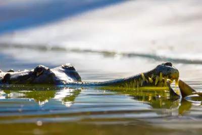
    Yellow Water, on Gundjeihmi Ngurrungurrudjba, is a billabong on the South Alligator River near Cooinda in the heart of Kakadu National Park. During the dry season, saltwater crocodiles, water buffalo, and thousands of waterfowl gather here.The best way to experience the area is on one of the guided boat tours, which depart several times daily from Cooinda Lodge.

    Sources & method

    • Photos: Wikimedia Commons, Unsplash. Each photo carries its credit.
    • Place data such as addresses and ratings comes from Google Maps.
    • The content is based on web research from public, traceable sources. How the content is made · The role of AI