Fernweh: Home
    ExploreTravel GuidesPlan a tripMy tripLast visited
    de|en
    All Places & RegionsAll highlightsAbout FernwehFAQPrivacy PolicyImprint
    ExploreTravel GuidesPlan a tripMy tripLast visited
    Salar de Atacama

    Chile

    Salar de Atacama

    Natural AreaNature

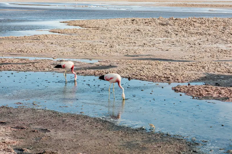
    The Salar de Atacama, south of San Pedro, is Chile's largest salt flat, a rough, white-grey crust before Andean volcanoes. Three flamingo species live in the shallow lagoons at its edge, especially Laguna Chaxa.

    by Felix Gillen

    1. Home
    2. Destinations
    3. Chile
    4. Atacama Desert
    5. Salar de Atacama
    The Salar de Atacama, south of San Pedro, is Chile's largest salt flat, a rough, white-grey crust before Andean volcanoes. Three flamingo species live in the shallow lagoons at its edge, especially Laguna Chaxa.

    Sehenswürdigkeiten

    Discover the most important sights and attractions

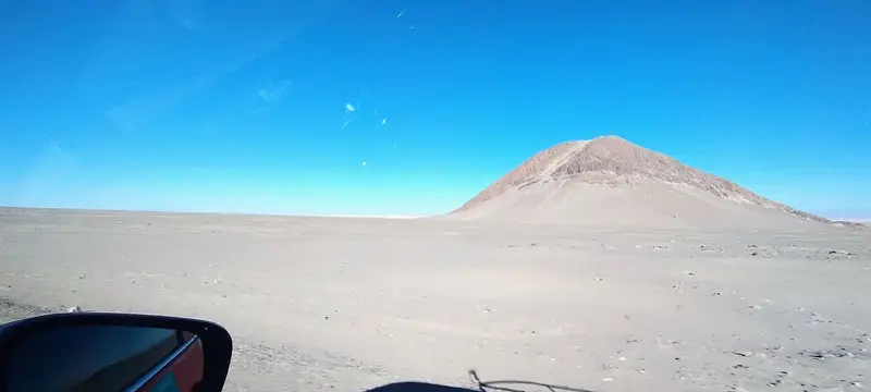
    Cerro los Guardianes

    1Cerro los Guardianes

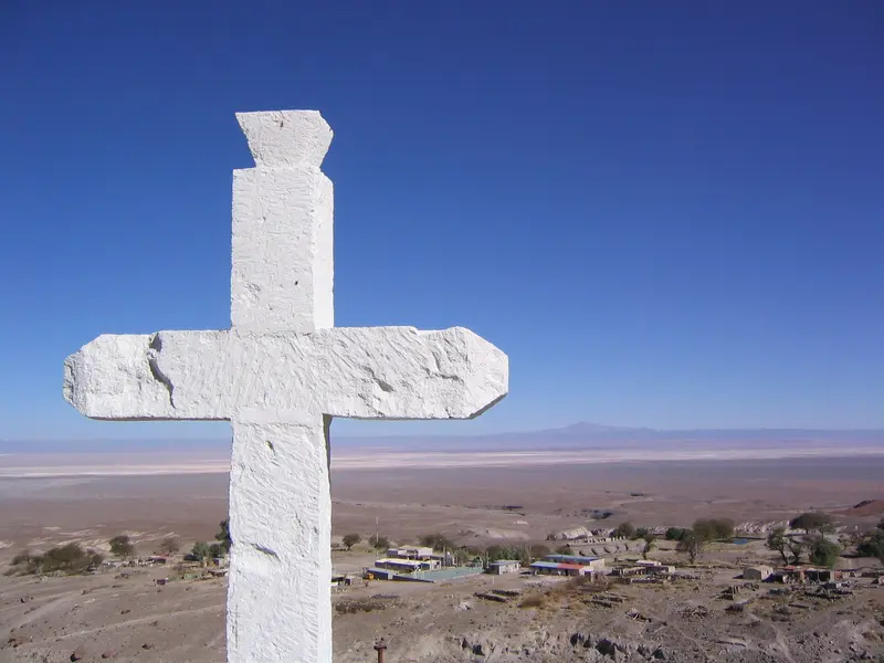
    Hill on the eastern edge of the Salar de Atacama, approximately ten kilometers north of the village of Camar.
    Open in Google Maps
    Tambo de Camar

    2Tambo de Camar

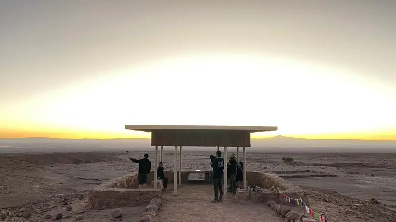
    The remains of the pre-Hispanic resting station on the Inca Trail Qhapaq Ñan are located near Camar on the eastern edge of the Salar. The Camar municipality, with the support of a mining company, restored the site and inaugurated a visitor project in 2025, featuring a circular path, viewpoint, and exhibition room. The Qhapaq Ñan has been a UNESCO World Heritage site since 2014. Ask in San Pedro for the current visiting hours.
    Open in Google Maps
    Camar

    3Camar

    The small Atacameño village lies on the eastern edge of the Salar on the route towards Socaire. Near Camar are the restored remains of the Tambo de Camar on the Inkaweg; the village offers a simple refreshment stop.
    Open in Google Maps
    The Tropic of Capricorn

    4The Tropic of Capricorn

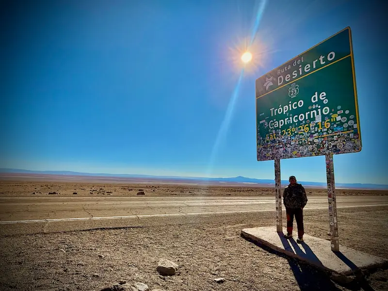
    On Ruta 23 south of Camar, a sign marks the Tropic of Capricorn. A quick photo stop on the way to the highland lagoons, with views over the Salar to the volcanoes.
    Open in Google Maps
    Laguna Puilar

    5Laguna Puilar

    The lagoon, like Laguna Chaxa and Laguna Barros Negros, belongs to the Soncor Sector of Los Flamencos National Reserve in the Salar de Atacama. Chilean Flamingos and Andean Flamingos live in the Salar; with a bit of luck, you might spot them here too.
    Open in Google Maps
    Laguna Chaxa

    6Laguna Chaxa

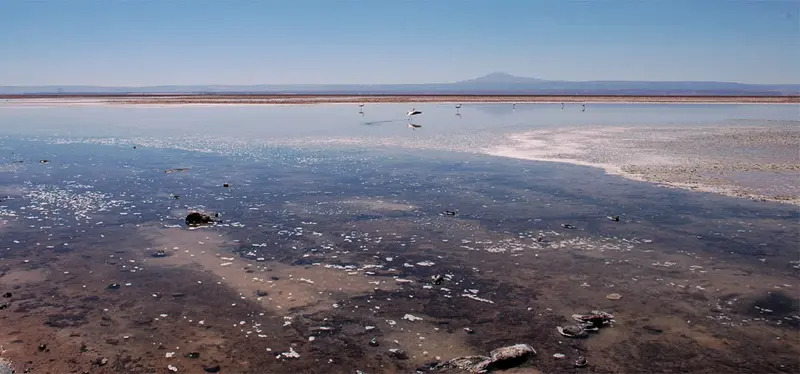
    The shallow salt lagoon in the Soncor sector of the Los Flamencos National Reserve is the best-known place to observe flamingos in the Salar. A short marked trail runs along the shore, and the birds are most active in the early morning and late afternoon.
    Open in Google Maps

    Essen & Trinken

    1

    Restaurante Doña Emita

    Small restaurant with Chilean cuisine in the village of Camar on the eastern edge of the Salar de Atacama.
    Show on Google Maps
    2

    Tourist Complex El Toconar

    Tourist complex with a restaurant in Sector Campo on the edge of the oasis village Toconao, on the northeast rim of the Salars. In addition to the restaurant, there are accommodations and agricultural areas.
    Show on Google Maps

    Restaurante El Paso

    Restaurant on Ruta 23 in the area of the Salar de Atacama.
    Show on Google Maps

    Food & Drink

    At the Salar itself, there is nothing to buy. The next refreshment stops are in the oasis villages along the way.

    Toconao and Camar

    You'll find dining options in the villages at the Salar's edge, such as Toconao on the northeast and Camar on the east edge. Many tours stop briefly in Toconao.

    Water and Sun protection

    In the dry air, you'll need considerably more water than usual. Take plenty, as there are no provisions at the lagoons. Sun protection is equally vital, and shade is scarce.

    Snack on the Tour

    Some tours provide a small snack at sunset. This isn't guaranteed, so a bar in your bag is a good idea.

    Background

    Oasis Villages by the Salt FlatAround the Salar are the Atacameño oasis villages, including Toconao with its 18th-century bell tower and walls of Liparit, a light volcanic rock. Its irrigation ravines are still used today for fruit and vegetable cultivation. Further south are smaller settlements like Camar, where residents keep llamas and sheep and cultivate corn.The communities participate in the management of the Los Flamencos National Reserve and collect entrance fees themselves at several lagoons. Respect the marked paths and barriers; they protect nesting sites and salt crusts.Lithium and WaterThe Salar is both an economic and political conflict area. Lithium extraction pumps large quantities of brine to the surface, along with freshwater extraction for processing. How much this strains the water balance and flamingo populations has been debated for years among companies, authorities, and local communities.

    Getting There & On-Site

    From San Pedro, it's about 65 kilometers to Laguna Chaxa, via Toconao, with the last few kilometers on gravel. Most visitors arrive on an afternoon tour, often combined with the highland lakes Miscanti and Miñiques or the village of Toconao. The route is traversable by rental car under normal conditions, even without a 4x4.The Atacameño community of Toconao charges admission for Laguna Chaxa; tickets can be purchased via their online platform. As of 2026, the fee was approximately 10,300 Pesos for Chilean citizens and 13,700 Pesos for foreign visitors. The area opens around 8 AM and closes in the early evening; it's busiest at sunset. Always confirm prices and times beforehand.On-site, you'll move along a short, marked circular path of a few hundred meters. The crust off the paths is sharp-edged and breaks in, and any deviation also disturbs the flamingos. Binoculars are recommended, as the birds keep their distance.

    Accommodations in Salar de Atacama

    Find perfect stay in Salar de Atacama

    Booking.com* (Affiliate link)
    Search Hotels
    Agoda* (Affiliate link)
    Search Hotels
    Airbnb
    Vacation Rentals

    * Affiliate link: if you book through it, we earn a small commission. The price stays the same for you.
    Nearby

    Valle de la Luna

    Valle de la Luna

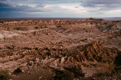
    The Valle de la Luna, some 13 kilometers west of San Pedro de Atacama, is a valley of salt, gypsum, and clay formations with sand dunes in the Cordillera de la Sal. Late afternoon sun tinges ridges and rock faces reddish.
    Atacama Desert

    Atacama Desert

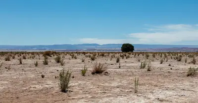
    The Atacama in northern Chile is one of the driest deserts on Earth: salt flats, volcanoes, high-altitude lakes, and geyser fields at over 4,000 meters. Almost all visitors stay in the oasis San Pedro de Atacama and explore the region from there on day trips.
    San Pedro de Atacama Village

    San Pedro de Atacama Village

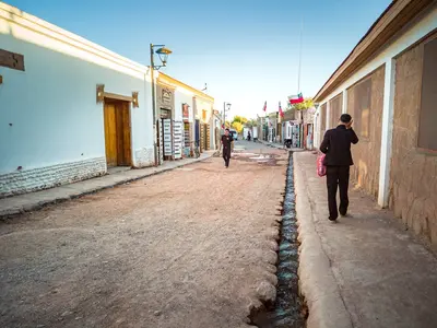
    San Pedro de Atacama is an adobe oasis village at approx. 2,450 meters in the Atacama Desert, northern Chile. Stay here to experience geysers, salt flats, highland lagoons, and the desert's starry sky: Most regional excursions depart from the Plaza and Calle Caracoles.
    Lagunas Altiplánicas

    Lagunas Altiplánicas

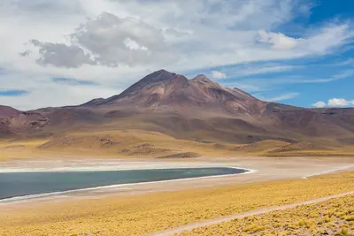
    The Lagunas Miscanti and Miñiques are two deep blue highland lakes at over 4,100 meters in the Altiplano of the Atacama Desert, in northern Chile. Against the backdrop of their namesake volcanoes, you'll see flamingos, taguas, and vicuñas here, and on the way there, the drive passes the Salar de Atacama and the red rocks of Piedras Rojas.
    Geysers del Tatio Area

    Geysers del Tatio Area

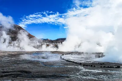
    The El Tatio geyser field lies at about 4,320 meters in the Andes, about 80 to 90 kilometers north of San Pedro de Atacama. Shortly after sunrise, steam columns rise from dozens of vents into the icy cold air, so tours begin in the middle of the night.

    Sources & method

    • Photos: Wikimedia Commons, Pexels, Google Maps. Each photo carries its credit.
    • Place data such as addresses and ratings comes from Google Maps.
    • The content is based on web research from public, traceable sources. How the content is made · The role of AI