Fernweh: Home
    ExploreTravel GuidesPlan a tripMy tripLast visited
    de|en
    All Places & RegionsAll highlightsAbout FernwehFAQPrivacy PolicyImprint
    ExploreTravel GuidesPlan a tripMy tripLast visited
    Valle de la Luna

    Chile

    Valle de la Luna

    Natural Area

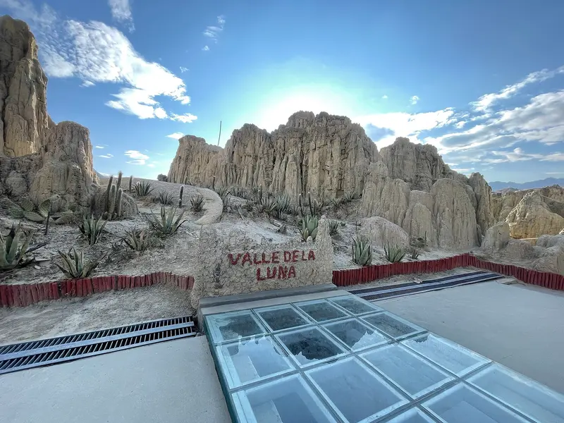
    The Valle de la Luna, some 13 kilometers west of San Pedro de Atacama, is a valley of salt, gypsum, and clay formations with sand dunes in the Cordillera de la Sal. Late afternoon sun tinges ridges and rock faces reddish.

    by Felix Gillen

    1. Home
    2. Destinations
    3. Chile
    4. Atacama Desert
    5. Valle de la Luna
    The Valle de la Luna, some 13 kilometers west of San Pedro de Atacama, is a valley of salt, gypsum, and clay formations with sand dunes in the Cordillera de la Sal. Late afternoon sun tinges ridges and rock faces reddish.

    Sehenswürdigkeiten

    Discover the most important sights and attractions

    Mirador hacia el valle de la luna

    1Mirador hacia el valle de la luna

    Viewpoint on the southwestern edge of the Valle de la Luna, overlooking the valley in the Cordillera de la Sal.
    Open in Google Maps
    Duna Mayor

    2Duna Mayor

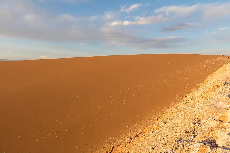
    The vast sand dune sits on a rocky ridge, with a one-way path leading up to a viewpoint. Expect about 40 minutes, including the view. Only a few groups are on the path simultaneously. From the top, you'll see the valley and the amphitheater. The sand itself must not be entered.
    Open in Google Maps

    3Mirador Achaches

    Viewpoint overlooking Amphitheater and Duna Mayor in Cordillera de la Sal. It's not on official ticket lists or Chile Travel. Confirm accessibility when buying tickets or with park rangers at the entrance.
    Open in Google Maps
    The Three Marys

    4The Three Marys

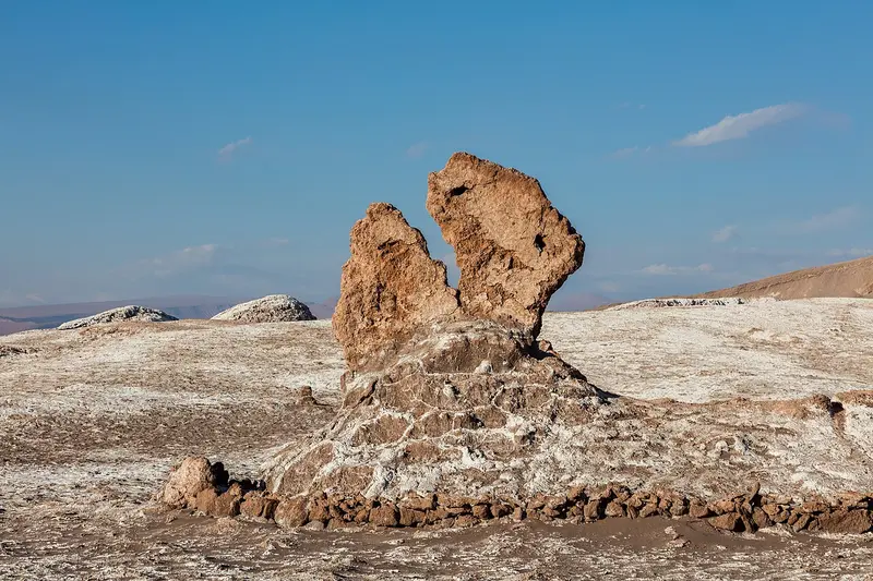
    Erosion-formed rock figures of salt, clay, and quartz are at the trail's last stop. Cordoned off for protection, you view them from a few meters away.
    Open in Google Maps
    Amphitheater

    5Amphitheater

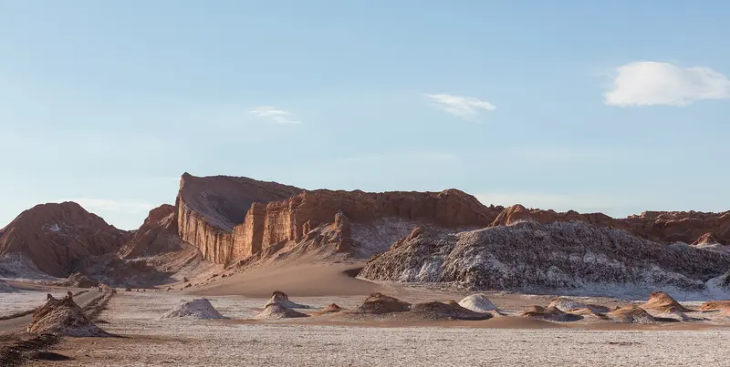
    The semicircular rock face has been carved out of the sedimentary layers by wind and tectonic movements. Entry is not permitted, but it is clearly visible from the road and from the Duna Mayor viewpoint.
    Open in Google Maps

    Essen & Trinken

    Provisions

    The valley has no kiosk or drinking water. Bring everything you need from San Pedro.

    Bring your water

    There's no food or drink in the valley. Bring enough water for the afternoon, significantly more if you're cycling there.

    Supplies from San Pedro

    According to official ticket sales, cars are admitted between 8 AM and 4 PM; you may stay at Mirador de Ckari for sunset. For the waiting time, fruit, nuts, or empanadas from San Pedro are suitable. Take your trash with you.

    Dinner afterwards

    After sunset, it's back to San Pedro, where many spots along Caracoles are open in the evenings. During high season, a reservation is recommended.

    Background

    Protected Area and CommunitiesThe valley is part of the Los Flamencos National Reserve. Visitor operations are managed by the Asociación Indígena Valle de la Luna, an association of the Atacameño communities of Coyo, Larache, San Pedro, Sequitor, Solor, and Quitor, in cooperation with CONAF. Atacameños with proof of heritage have free entry. Where salt crusts and dunes have been damaged by footsteps, areas are now closed: You may not enter the sandy area of Duna Mayor, and at the Tres Marías, a barrier keeps visitors at a distance.Salt and ResearchSalt was formerly mined in the Cordillera de la Sal. At Mina Victoria, you can still see remnants of the old mining sites and thick layers of crystallized salt. The formations themselves were created by wind, water, and tectonic movements from folded sedimentary layers.The extreme aridity makes the Atacama a comparison area for Mars research. In the ARADS project, NASA tested the K-REX2 rover in the Atacama between 2016 and 2019, which drilled up to two meters deep and searched for traces of life.

    Directions and On-Site

    From the outskirts of San Pedro, it's a good 13 kilometers to the entrance. The route is flat enough for a rental bike; expect about an hour each way and bring plenty of water. You are not permitted to enter the reserve on foot. In the valley, follow the road to the parking lots at the stops, where park rangers register visitors.Tickets, Times, and RulesThe easiest option is an afternoon tour from San Pedro. With a rental car or bike, you're more flexible and can go in the morning when it's less crowded.Tickets: Purchase them online in advance via the official ticket sales portal. In 2025/26, admission was around 10,800 Pesos, reduced to about half for children, students, and seniors.Opening Hours: The reserve opens in the morning; vehicles are admitted until approximately 4 PM, cyclists only in the morning. You are permitted to stay in the reserve until sunset. Times change seasonally, so check them before your visit.Rules: No drones, no pets, no alcohol. Stay on marked paths; dunes and salt flats are off-limits.Mirador de Ckari: The viewpoint at the end of the loop is the most popular spot for sunset. Park rangers limit group size and duration of stay there.

    Accommodations in Valle de la Luna

    Find perfect stay in Valle de la Luna

    Booking.com* (Affiliate link)
    Search Hotels
    Agoda* (Affiliate link)
    Search Hotels
    Airbnb
    Vacation Rentals

    * Affiliate link: if you book through it, we earn a small commission. The price stays the same for you.
    Nearby

    Atacama Desert

    Atacama Desert

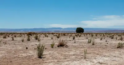
    The Atacama in northern Chile is one of the driest deserts on Earth: salt flats, volcanoes, high-altitude lakes, and geyser fields at over 4,000 meters. Almost all visitors stay in the oasis San Pedro de Atacama and explore the region from there on day trips.
    San Pedro de Atacama Village

    San Pedro de Atacama Village

    San Pedro de Atacama is an adobe oasis village at approx. 2,450 meters in the Atacama Desert, northern Chile. Stay here to experience geysers, salt flats, highland lagoons, and the desert's starry sky: Most regional excursions depart from the Plaza and Calle Caracoles.
    Salar de Atacama

    Salar de Atacama

    The Salar de Atacama, south of San Pedro, is Chile's largest salt flat, a rough, white-grey crust before Andean volcanoes. Three flamingo species live in the shallow lagoons at its edge, especially Laguna Chaxa.
    Geysers del Tatio Area

    Geysers del Tatio Area

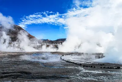
    The El Tatio geyser field lies at about 4,320 meters in the Andes, about 80 to 90 kilometers north of San Pedro de Atacama. Shortly after sunrise, steam columns rise from dozens of vents into the icy cold air, so tours begin in the middle of the night.
    Lagunas Altiplánicas

    Lagunas Altiplánicas

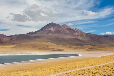
    The Lagunas Miscanti and Miñiques are two deep blue highland lakes at over 4,100 meters in the Altiplano of the Atacama Desert, in northern Chile. Against the backdrop of their namesake volcanoes, you'll see flamingos, taguas, and vicuñas here, and on the way there, the drive passes the Salar de Atacama and the red rocks of Piedras Rojas.

    Sources & method

    • Photos: Wikimedia Commons, Pexels. Each photo carries its credit.
    • The content is based on web research from public, traceable sources. How the content is made · The role of AI