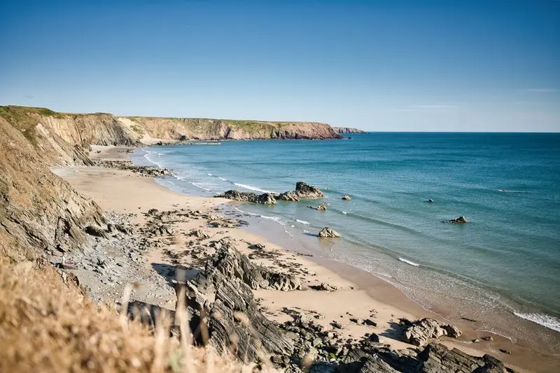
This rugged coastline is known for its dramatic cliffs, golden sand beaches, and excellent surf spots, inviting you to adventure.
Places in North Cornwall Coast
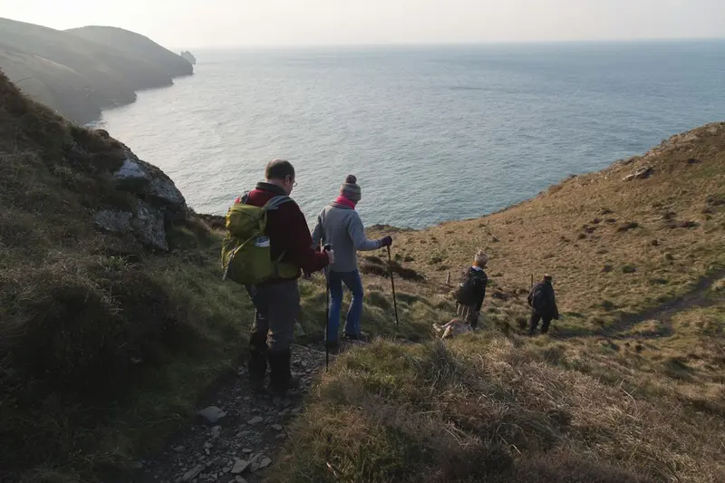
Cornwall's North Coast is the peninsula's rugged side. Exposed to the Atlantic, it offers England’s biggest surf and a steep coast of slate and sandstone, carved by the sea into bays, arches, and freestanding rocks. Between Newquay and Bude, surf beaches abound, Fistral being the country’s main competition beach.The towns are smaller and more secluded than in the south: fishing villages like Port Isaac and Boscastle are nestled in narrow gorges, as only there was a harbour possible. Padstow is the culinary hub, Tintagel the historical. The South West Coast Path follows the entire coast and is particularly strenuous here, as it descends into every bay and climbs back out again.The beaches are beautiful, but not harmless: Currents and tidal range are considerable; lifeguarded sections with RNLI red and yellow flags are the safe choice.
Sights in North Cornwall Coast
Discover the most important sights and attractions
1Bedruthan Steps
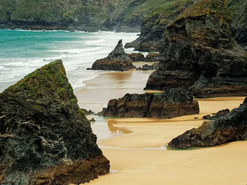
The Bedruthan Steps are a series of freestanding rock stacks in a wide bay north of Newquay. They are remnants of headlands that the sea has broken through and eroded. The name harks back to a 19th-century legend, according to which a giant named Bedruthan used the rocks as stepping stones.You get the best view from the National Trust cliff path. A steep staircase leads down to the beach; it is closed in winter and dangerous at high tide because the bay gets completely flooded. Swimming is not permitted here due to the strong currents. At low tide, you can explore the sand between the rocks, but only with an eye on the tide table.
Padstow is located at the mouth of the Camel and is a fishing village that chef Rick Stein has transformed into a culinary destination since 1975; the nickname Padstein is meant to be both appreciative and derisive.On May 1st, the 'Obby 'Oss Festival takes place, one of Britain's oldest surviving folk festivals: Two horse figures dance through the streets all day, accompanied by drums and accordion. The town becomes so crowded that arrival is barely possible.From the harbour, the Camel Trail follows a disused railway line 30 kilometres flat to Bodmin and Wenfordbridge, one of England's most popular cycle paths. Opposite lies Rock, accessible by passenger ferry.
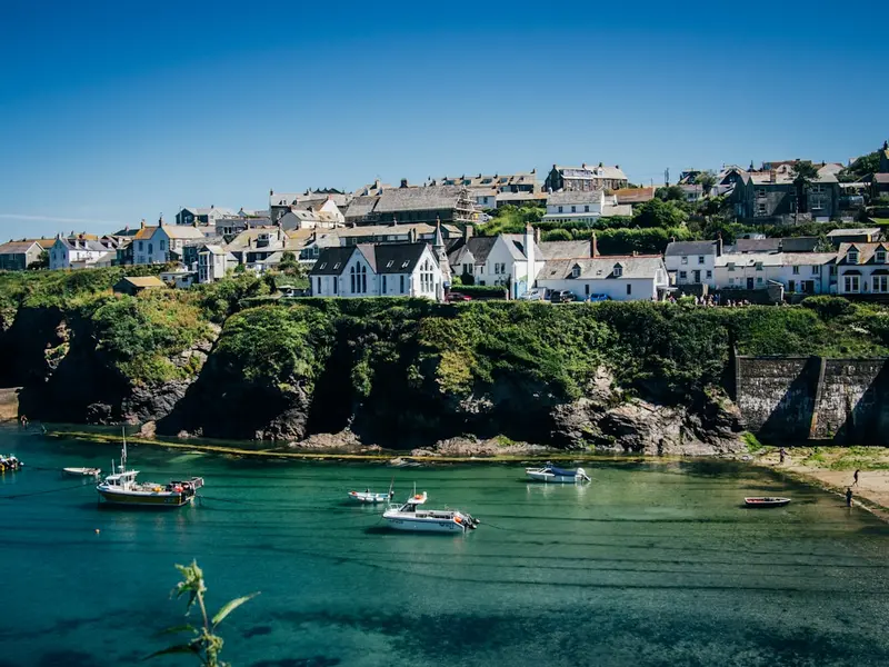
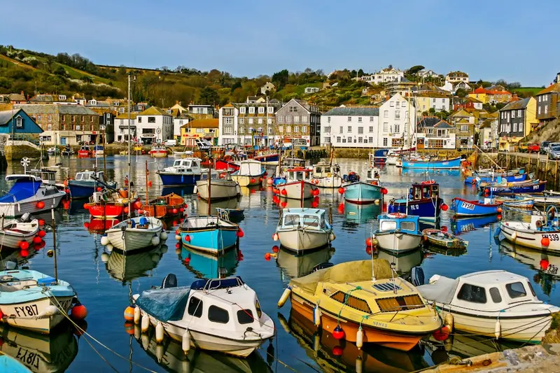
Port Isaac is a 14th-century fishing village whose houses stand so close together that the narrowest alley is known as Squeeze-ee-belly Alley; it measures around 45 centimetres at its narrowest point. The streets are too narrow for today's vehicles, so parking is available above the village.The harbour dries out at low tide, with boats then resting on the sand. From here, slate from the quarries of Delabole was shipped in the 19th century. The village became known as the filming location for the series Doc Martin and through the Fisherman's Friends, a group of local fishermen who sing shanties and perform in the summer on the harbour square.
Boscastle lies in an S-shaped winding gorge, serving as the only natural harbour along 60 kilometres of rugged coastline. Two breakwaters, the outer one co-designed by Thomas Hardy, who worked here as a young architect, protect the entrance.On August 16, 2004, the village was hit by a flash flood: After extreme rainfall over Bodmin Moor, the two rivers carried many times their normal volume of water within hours, sweeping cars into the sea and destroying buildings. No one was injured. Reconstruction widened the riverbed and raised the bridge.The village is home to the Museum of Witchcraft and Magic, with one of the world's largest collections on witchcraft beliefs and folk magic.
In Nordküste Cornwalls you'll find local restaurants, cafés and markets with regional specialities. Taste your way through the dishes typical of the region.
Culture & History
Nordküste Cornwalls is shaped by its history, local traditions and the everyday life of its people. Architecture, customs and regional character define the place.
Excursions & Activities
Recommended activities
Around Nordküste Cornwalls there are rewarding day trips and activities – from sights and nature to the surrounding area.
Accommodations in North Cornwall Coast
Accommodation
Places to stay
In and around Nordküste Cornwalls there are places to stay across different categories and price ranges – from simple to comfortable.
These places are nearby — perfect for additional days or a day trip.
Cornwall
Cornwall, located in England's far southwest, enchants you with its rugged coastal landscape, golden sandy beaches, and rich Celtic heritage. Discover charming fishing villages, subtropical gardens, and a unique culinary scene, shaped by fresh seafood, promising you unforgettable experiences.
South Coast of Cornwall & Roseland Peninsula
The South Coast of Cornwall captivates with its blend of rugged cliffs, hidden sandy coves, and picturesque fishing villages. The Roseland Peninsula, an area of outstanding natural beauty, impresses with its pristine landscape and idyllic spots like St Mawes with its historic Tudor castle. Along the South West Coast Path, spectacular views of the sea and the green coastal landscape unfold. This region is deeply rooted in its maritime history, visible in its traditional harbours and local culture. Explore the charming streets of Mevagissey or the botanical diversity of the Lost Gardens of Heligan. The best time to visit is late spring or early autumn, to enjoy the tranquility and experience the walking trails without large crowds.
West Cornwall & Land's End
This area fascinates with its wild landscape, prehistoric sites, and St. Ives' vibrant art scene, which you must explore.
Pembrokeshire Coast National Park
The Pembrokeshire Coast National Park in southwest Wales is Great Britain's only national park consisting predominantly of coastline. It stretches as a narrow strip for over 400 kilometres of coastline and is in places only a few hundred metres wide.The rock types vary over short distances between Precambrian volcanite, Old Red Sandstone, and limestone, creating bays, rock arches, and sea cliffs in close proximity. The Pembrokeshire Coast Path follows the entire route; whoever walks its full length ascends more metres in elevation than climbing Everest.Off the coast lie Skomer and Skokholm, two islands with one of the world's largest colonies of Manx Shearwaters; in early summer, tens of thousands of puffins also breed here. On land, the density of prehistoric monuments is striking, including the Pentre Ifan Dolmen. The bluestones of Stonehenge demonstrably originate from the Preseli Hills in the north of the park.
Cardiff
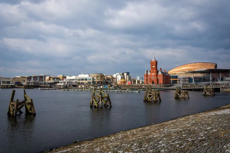
Cardiff has only been the official capital of Wales since 1955, having been an insignificant coastal town until the 19th century. Coal from the valleys to its north then transformed the city into the world's largest coal port. The Bute family, controlling the docks and mines, was for a time considered Britain's richest family.This wealth is reflected in the opulently designed Cardiff Castle and the Coal Exchange in the Bay, where the first million-pound contract was allegedly signed in 1904. After coal exports ceased, the docks fell into disrepair; since the 1990s, Cardiff Bay has been transformed by a dam into a freshwater basin and revitalized with cultural buildings like the Wales Millennium Centre.The city centre is compact and easily walkable, crisscrossed by covered Victorian shopping arcades. On rugby match days at the Principality Stadium, located right in the city centre, Cardiff becomes a single human tide.