Fernweh: Home
ExploreGuideDestinationsMy tripsMy trip
de|en
All Places & RegionsRound tripsNight trains in EuropeAll highlightsAbout FernwehFAQPrivacy PolicyImprint
Download on the App StoreGet it on Google Play
ExploreGuideDestinationsMy tripsMy trip
    • Places in the region
    • Round trips
    • Nearby
    Gambia River

    Wmtribe2015 / Wikimedia Commons / CC BY-SA 4.0, mod.

    Gambia

    Gambia River

    Region

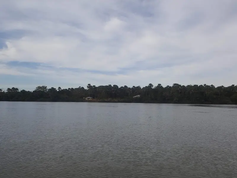
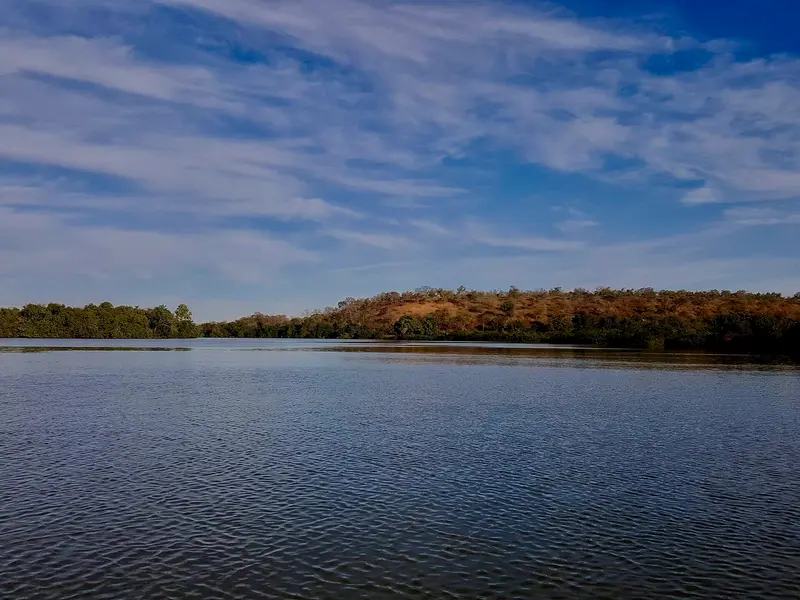
    Upriver, Gambia reveals its rural face: mangroves, rice fields, and villages line the wide river.

    by Felix Gillen

    1. Home
    2. Destinations
    3. Gambia
    4. Gambia River
    Upriver, Gambia reveals its rural face: mangroves, rice fields, and villages line the wide river. On the north bank are the World Heritage Site Kunta Kinteh Island and Juffureh; further east, the island town of Janjanbureh, the Stone Circles of Wassu, and the River Gambia National Park with its chimpanzee islands.
    Gambia travel guideSee the round tripPlan a trip with Gambia River

    Contents

    • Places in the region
    • Round trips
    • Nearby
    River Gambia National Park

    Wmtribe2015 / Wikimedia Commons / CC BY-SA 4.0, mod.
    Place 1 of 4

    River Gambia National Park

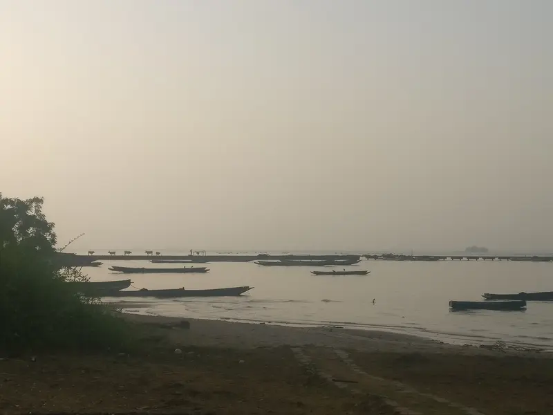
    The River Gambia National Park protects a group of forested river islands a few kilometers upstream from Kuntaur, where the Chimpanzee Rehabilitation Project has allowed chimpanzees to live freely since the late 1970s.

    Discover
    Kunta Kinteh Island and Juffureh

    Kenneth Aitchison / Wikimedia Commons / CC BY-SA 4.0, mod.
    Place 2 of 4

    Kunta Kinteh Island and Juffureh

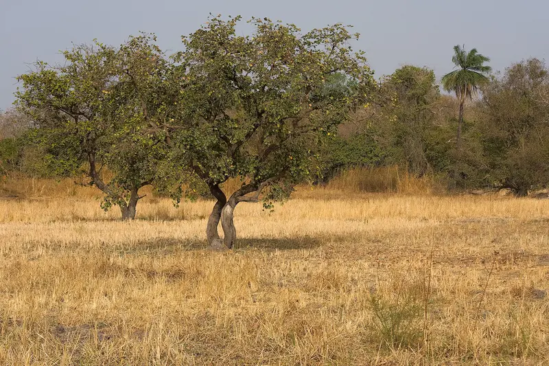
    Kunta Kinteh Island, formerly James Island, is a small island in the Gambia River, around 30 kilometres upstream from its mouth, opposite the villages of Albreda and Juffureh on the north bank.

    Discover
    Kiang West National Park

    “Kiang West savanna” by Ikiwaner / Wikimedia Commons / CC BY-SA 3.0, mod.
    Place 3 of 4

    Kiang West National Park

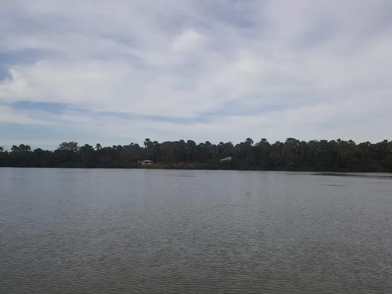
    The Kiang West National Park, on the south bank of the Gambia River, about 145 kilometers from Banjul, protects Guinea savanna, dry forest, mudflats, and mangrove creeks across 115 square kilometers.

    Discover
    Janjanbureh

    Wmtribe2015 / Wikimedia Commons / CC BY-SA 4.0, mod.

    Place 4 of 4

    Janjanbureh

    Janjanbureh, formerly Georgetown, is located on an island in the River Gambia, approximately 300 kilometers upstream from Banjul, and is the most important starting point in the interior.

    Discover

    More places in Gambia River

    Stone Circles of Wassu

    The Wassu Stone Circles on the north bank, located about 20 kilometers from Lamin Koto across from Janjanbureh, are Gambia's most impressive megalithic site. These eleven circles of laterite pillars are part of the UNESCO World Heritage Site Stone Circles of Senegambia and feature the tallest stones of the entire group.The World Heritage Site was inscribed in 2006 and comprises four sites across Gambia and Senegal, totaling 93 circles. Excavations date the Wassu site to between 927 and 1305 AD, and a small museum housed in thatched round buildings explains the finds.

    Round trips through this region

    Gambia: Atlantic Coast and River in 10 Days

    Gambia: Atlantic Coast and River in 10 Days

    Ten days from the coast near Kololi, across the South Coast to Kartong, then upstream via Kiang West to Janjanbureh, with detours to the Wassu Stone Circles and the River Gambia National Park. You visit Kunta Kinteh Island as a day trip from the coast.

    11 Days
    4 stops

    Ben Tatlow bentatlow·CC0

    Nearby

    Banjul

    Banjul

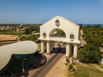
    Banjul is the small capital of Gambia, situated on an island at the mouth of the Gambia River. You come for the Arch 22 gateway, the National Museum, the bustling Albert Market, and the mangroves of the Tanbi Wetlands that separate the city from the mainland.Founded by the British in 1816 as Bathurst, it was renamed Banjul in 1973. The 2024 census revealed the city had only about 26,000 residents, making it the country's sole shrinking municipality: housing and commerce have long since moved to the greater Serrekunda area. Nevertheless, many still commute daily to the ministries, markets, and the Barra ferry port.

    Hannu Sääskilahti·CC BY-SA 4.0

    Abuko Nature Reserve

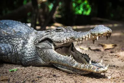
    Abuko is The Gambia's most renowned nature reserve, a gallery forest on Lamin Stream south of Abuko village in the coastal hinterland. Along approximately five kilometres of trails, you'll see vervet monkeys, Western Red Colobus monkeys, and patas monkeys, crocodiles in the pond, and with a bit of luck, some of the over 250 bird species recorded here.The reserve, covering over 100 hectares, was established in 1968, parts of which had been protected since 1916. A wildlife viewing station at a waterhole and a small animal orphanage are part of the loop trail.
    Greater Banjul

    Greater Banjul

    Greater Banjul is the heart of The Gambia: the island capital Banjul at the mouth of the Gambia River, and just about 18 kilometers away, the urban area around Serrekunda with the coastal towns of Bakau, Fajara, Kotu and Kololi. Here you'll find most of the country's hotels, restaurants, and beaches, plus nature reserves like Bijilo and Abuko, where you can observe monkeys and hundreds of bird species.

    The Gambia·Pexels

    Serrekunda

    Serrekunda ist der größte Ballungsraum Gambias und das wirtschaftliche Herz des Landes, rund 18 Kilometer von Banjul entfernt hinter der Atlantikküste. Du kommst vor allem wegen des Serrekunda Market, des größten Marktes des Landes, und wegen des gambischen Alltags abseits der Hotelzone.Zur Gemeinde Kanifing, zu der Serrekunda gehört, zählten beim Zensus 2024 rund 380.000 Menschen. Zusammen mit Banjul und Brikama bildet die Stadt den Großraum, in dem etwa die Hälfte der Bevölkerung Gambias lebt.
    Bakau

    Bakau

    Bakau is a lively coastal town west of Banjul, known for the sacred Kachikally Crocodile Pool and the colorful fishing beach with painted pirogues. Around Cape Point, you'll find quieter beach sections, a shady botanical garden, and some of the coast's most traditional restaurants.The Bojang family, considered Bakau's founding family, still watches over Kachikally today. At the fishing beach southwest of Cape Point, boats are unloaded and fish is sold in the mornings and afternoons, while on Sundays, Gambian families picnic and play football here.

    Roel van der krabben·CC BY-SA 4.0

    Your next steps

    Gambia River is in Gambia. Ways to carry on from here.

    • More in Gambia

      Highlights, areas, routes and the best time to travel for all of Gambia.

      Gambia travel guide
    • Round trips with Gambia River

      One route passes through Gambia River, with stops, nights and a map.

      See the round trip
    • Plan a trip with Gambia River

      The Guide asks about season, length and who is coming, and suggests a trip with Gambia River.

      Plan the trip

    Sources & method

    • Photos: Wikimedia Commons. Each photo carries its credit.
    • The content is based on web research from public, traceable sources. How the content is made · The role of AI