Fernweh: Home
ExploreGuideDestinationsMy tripsMy trip
de|en
All Places & RegionsRound tripsNight trains in EuropeAll highlightsAbout FernwehFAQPrivacy PolicyImprint
Download on the App StoreGet it on Google Play
ExploreGuideDestinationsMy tripsMy trip
    • Places in the region
    • Culture
    • Getting around
    • Round trips
    • Nearby
    Osten

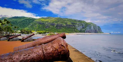
    Clémenceau Lauret / Wikimedia Commons / CC BY-SA 4.0, mod.

    La Réunion

    Osten

    Region

    The East is the rainier side of the island between Saint-Denis and the lava fields of Grand Brûlé.

    by Felix Gillen

    1. Home
    2. Destinations
    3. La Réunion
    4. Osten
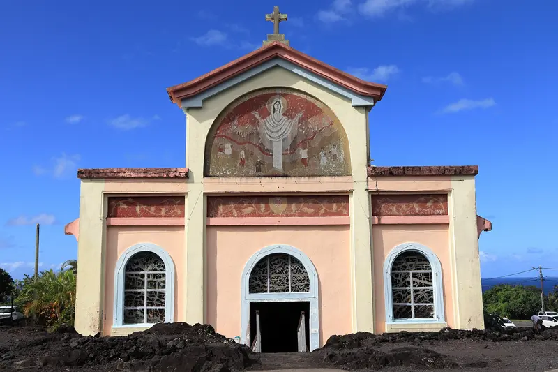
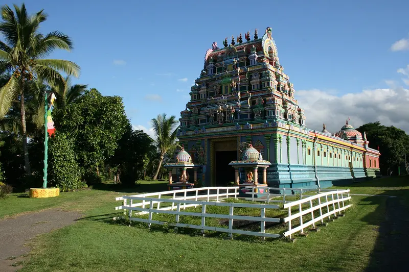
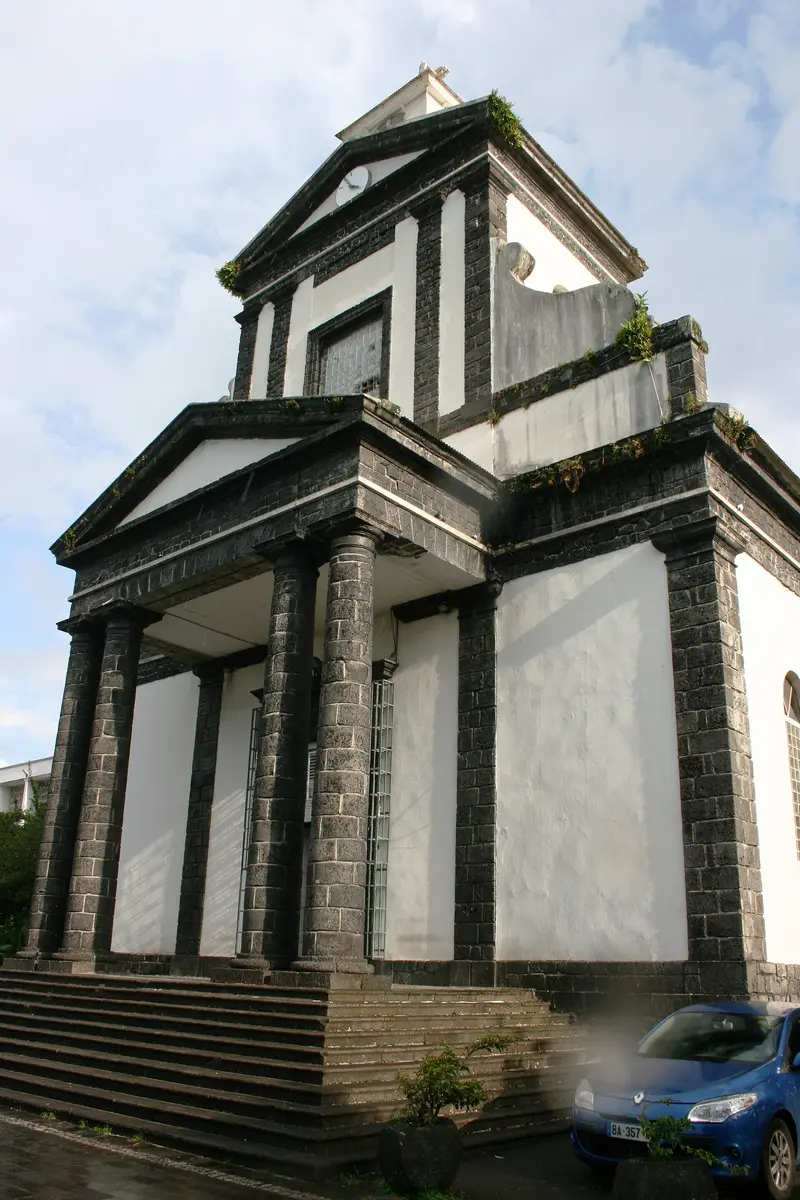
    The East is the rainier side of the island between Saint-Denis and the lava fields of Grand Brûlé. You visit for the coastal traces of Piton de la Fournaise, the vanilla growing regions, the waterfalls and bathing pools inland, and the Tamil temples.At Sainte-Rose, the Route des Laves follows cooled lava flows; the church of Notre-Dame-des-Laves was narrowly spared during the 1977 eruption. Further north, near Bras-Panon, are the pools of the Rivière des Roches, and in Saint-André, the Temple du Colosse. Inland, you reach the Bélouve cloud forest via the Plaine-des-Palmistes.
    La Réunion travel guideSee the round tripPlan a trip with Osten

    Contents

    • Places in the region
    • Culture
    • Getting around
    • Round trips
    • Nearby
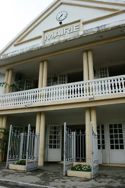
    La Plaine-des-Palmistes

    Pradigue / Wikimedia Commons / CC BY-SA 4.0, mod.

    Place 1 of 4

    La Plaine-des-Palmistes

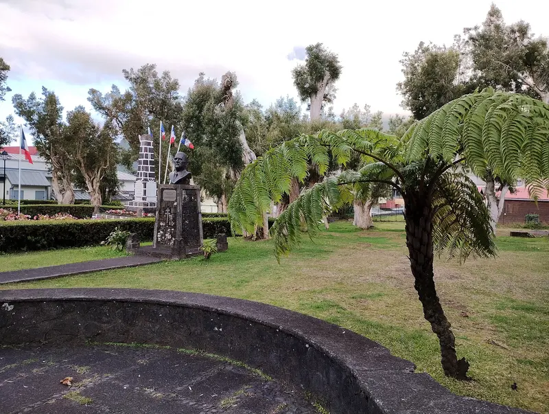
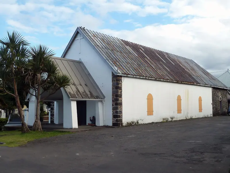
    La Plaine-des-Palmistes is a highland municipality situated at about 1,000 m on the Route des Plaines, between Saint-Benoît and Saint-Pierre, within the corridor separating Piton des Neiges and Piton de la Fournaise.

    Discover
    Sainte-Rose

    Clémenceau Lauret / Wikimedia Commons / CC BY-SA 4.0, mod.

    Place 2 of 4

    Sainte-Rose

    Sainte-Rose is the southernmost commune on the east coast, situated between the Rivière de l'Est and the Grand Brûlé on the flank of Piton de la Fournaise. You come for its lava fields, the Notre-Dame-des-Laves church, and Anse des Cascades.

    Discover
    Saint-André

    Thierry Caro / Wikimedia Commons / CC BY-SA 4.0, mod.

    Place 3 of 4

    Saint-André

    Saint-André is located on the northeast coast between Saint-Denis and Saint-Benoît and is considered the center of Tamil culture on the island.

    Discover
    Saint-Benoît

    Thierry Caro / Wikimedia Commons / CC BY-SA 4.0, mod.

    Place 4 of 4

    Saint-Benoît

    Saint-Benoît ist eine der größten Gemeinden der Insel und liegt an der Mündung der Rivière des Marsouins an der Ostküste. Du nutzt den Ort als Ausgangspunkt für das Tal von Takamaka, den Grand Étang und die Route des Plaines ins Hochland.

    Discover

    More places in Osten

    Bras-Panon

    WCOMFR Mireille GRUMBERG·CC BY-SA 4.0

    Bras-Panon

    Bras-Panon is a municipality on the east coast between Saint-André and Saint-Benoît and is considered the cradle of Bourbon vanilla. You come for the Provanille vanilla cooperative and the bathing pools of the Rivière des Roches. In 2023, Bras-Panon had a population of 13,012.The municipality is bordered by the Rivière du Mât to the north and the Rivière des Roches to the south. Bras-Panon has been an independent municipality since February 24, 1882; before that, it belonged to Saint-Benoît.

    Sights in Osten

    Discover the most important sights and attractions

    Point of Interest

    Forêt de Bélouve and Trou de Fer

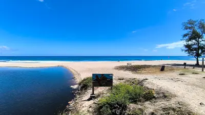
    Cloud forest with Tamarins des Hauts at around 1,300 meters, starting point is the Gîte de Bélouve. The path to the viewpoint over the Trou de Fer, a gorge into which several waterfalls plunge, is 8.6 km long round trip and takes about 4 hours. Come early to avoid the clouds; in the rain, the path is very muddy. Before you go, check the ONF map for viewpoint access.
    Open in Google Maps

    Faith, Vanilla and Volcano

    Tamil TemplesIn 1848, Indian indentured laborers built a first chapel by the sea near the sugarcane plantations of Saint-André. The current Temple du Colosse was built on this site in 1991. It is dedicated to the goddess Pandialé. Visitors remove their shoes at the entrance and do not wear leather accessories.VanillaThe hand-pollination of the vanilla flower dates back to Edmond Albius. The Provanille cooperative in Bras-Panon has been operating since 1968 and unites nearly 140 growers. Vanilla plants are found on cultivated land and must not be picked.Living with the VolcanoThe Grand Brûlé, between Sainte-Rose and Saint-Philippe, is uninhabited. Here, lava flows often reach the sea and have repeatedly altered the course of the Route des Laves. In 2007, a lava flow buried the road under approximately 60 m of rock.

    Getting There & Around

    By CarFrom Saint-Denis, drive via Saint-André and Saint-Benoît to Sainte-Rose, then continue on the RN2, the Route des Laves, to Saint-Philippe. From Saint-Pierre, the coastal road leads via Saint-Joseph and Saint-Philippe to the east.Bélouve and Trou de FerFrom Plaine-des-Palmistes, turn off towards Bébour: approx. 9 km to Col de Bébour, then 10 km on a forest road to the car park in front of the Gîte de Bélouve. The barrier is closed on Sundays and public holidays, so it's better to go on a weekday. Check the ONF map in advance to see if the viewpoint above Trou de Fer is open.Weather and ClosuresIt rains a lot in the east, paths become muddy and streams swell quickly. Bathing is forbidden or dangerous in several pools. Before every tour, check the ONF list of closed paths and the weather forecast. Current safety information is provided by the Federal Foreign Office.

    Round trips through this region

    La Réunion in 12 Days: Lagoon, Cirques and Volcano

    La Réunion in 12 Days: Lagoon, Cirques and Volcano

    This clockwise tour takes you around the island and into two of its three cirques. It begins with beach days on the west coast and the view from Maïdo to Mafate, ascends via the RN5 to Cilaos, connects Saint-Pierre with Piton de la Fournaise and the wild south, and ends after the east coast in Hell-Bourg in the Cirque de Salazie.

    12 Days
    5 stops

    Clémenceau Lauret·CC BY-SA 4.0

    Nearby

    Sainte-Suzanne and Sainte-Marie

    Sainte-Suzanne and Sainte-Marie

    Sainte-Suzanne is a municipality on the northeast coast, east of Saint-Denis and Roland Garros Airport in Sainte-Marie. You come here for the Cascade Niagara amidst sugarcane fields, the Bel-Air Lighthouse, and the history of vanilla, whose hand-pollination was discovered here.Sainte-Suzanne has 24,855 inhabitants (2022) and was founded in 1667 by Étienne Regnault, the first governor of Île Bourbon. In neighboring Sainte-Marie, with 35,584 inhabitants, lies the island's main airport; the Vierge Noire on the Rivière des Pluies is a place of pilgrimage there.

    Thierry Caro·CC BY-SA 4.0

    Hell-Bourg

    Hell-Bourg

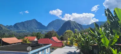
    Hell-Bourg is a former spa town in the Cirque de Salazie at the foot of Piton d'Anchaing and Piton des Neiges. You come for its 19th-century Creole houses; since 1999, it has been one of the "Plus beaux villages de France", the only member outside mainland France.The village was named after Governor Anne Chrétien Louis de Hell in 1841; its thermal baths opened in 1852. Villas followed, as affluent coastal families came to the heights for recreation. In 1948, a cyclone buried the springs, ending the spa's operation.

    Guallendra·CC0

    Cirque de Salazie and Hell-Bourg

    Cirque de Salazie and Hell-Bourg

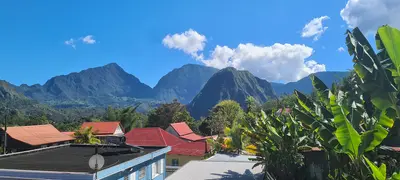
    The Cirque de Salazie is the easternmost of the island's three central calderas and the most easily accessible. You go there for the waterfalls on the green cliffs and for Hell-Bourg, the only village outside mainland France to bear the "Plus beaux villages de France" label.Salazie is the rainiest of the three calderas. The water feeds dense vegetation, Chouchou fields, and numerous cascades such as the Voile de la Mariée. Besides Hell-Bourg, the municipality includes the localities of Grand Îlet and Mare à Vieille Place. Hiking paths go to Piton d'Anchaing, Bélouve Forest, and via Col des Bœufs to Mafate.

    Guallendra·CC0

    Piton de la Fournaise

    Piton de la Fournaise

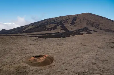
    Piton de la Fournaise is the active shield volcano in the southeast of La Réunion, 2,632 meters high and accessible via the Route du Volcan from Bourg-Murat in the highlands above Saint-Pierre. Since 1998, it erupts on average about twice a year, most recently from February to April 2026.The drive leads through heathland and the barren Plaine des Sables slag plain to the Pas de Bellecombe viewpoint. From there, you look into the Enclos Fouqué caldera and onto the summit cone. Those who start early can hike to the edge of the Cratère Dolomieu in clear visibility. The volcano belongs to the National Park and the UNESCO World Heritage site "Pitons, cirques et remparts."

    Oscar Brouchot·Unsplash

    North

    North

    The north of La Réunion is the coast surrounding the capital Saint-Denis and where almost all travelers arrive: Roland Garros Airport is located in Sainte-Marie, just east of the capital. This is where every island tour starts, with its Creole old town, waterfront promenade, and initial excursions into nature.East of Saint-Denis, Sainte-Marie and Sainte-Suzanne follow with sugarcane fields, the Cascade Niagara, and the Bel-Air lighthouse. It was in Sainte-Suzanne that Edmond Albius discovered the hand pollination of vanilla in 1841.

    Clémenceau Lauret·CC BY-SA 4.0

    Your next steps

    Osten is in La Réunion. Ways to carry on from here.

    • More in La Réunion

      Highlights, areas, routes and the best time to travel for all of La Réunion.

      La Réunion travel guide
    • Round trips with Osten

      One route passes through Osten, with stops, nights and a map.

      See the round trip
    • Plan a trip with Osten

      The Guide asks about season, length and who is coming, and suggests a trip with Osten.

      Plan the trip

    Sources & method

    • Photos: Wikimedia Commons. Each photo carries its credit.
    • Place data such as addresses and ratings comes from Google Maps.
    • The content is based on web research from public, traceable sources. How the content is made · The role of AI