Fernweh: Home
    ExploreTravel GuidesPlan a tripMy tripLast visited
    de|en
    All Places & RegionsAll highlightsAbout FernwehFAQPrivacy PolicyImprint
    ExploreTravel GuidesPlan a tripMy tripLast visited
    • Neighborhoods & highlights
    • Eat & drink
    • Culture
    • Nightlife
    • Getting around
    • Accommodation
    • Plan trip
    • Nearby
    Jacó

    Costa Rica

    Jacó

    City

    Jacó is the largest beach resort on the Central Pacific coast, about 100 kilometers and a two-hour drive from San José.

    by Felix Gillen

    1. Home
    2. Destinations
    3. Costa Rica
    4. Central Pacific
    5. Jacó
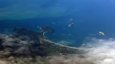
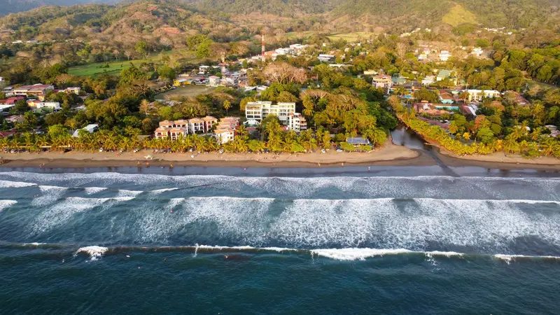
    Jacó is the largest beach resort on the Central Pacific coast, about 100 kilometers and a two-hour drive from San José. You come here for surfing on a four-kilometer-long dark sand beach, for the nightlife, and as a base for Carara National Park with its wild macaws.The town is the main settlement of the Garabito canton in Puntarenas province and had just under 12,000 inhabitants in 2011. Life centers around Avenida Pastor Díaz, the main road running parallel to the beach, where bars, restaurants, surf shops, and tour operators are packed closely together.On the southern stretch of the beach, the waves are gentler and suitable for beginners; in the north, the sea is rougher. Experienced surfers head to Playa Hermosa a few kilometers south, where the waves break hard and fast.Jacó has a reputation as a party town, but in recent years, quieter accommodations and upscale restaurants have also emerged. From here, day trips can be made to Isla Tortuga, Carara, and the Crocodile Bridge on the Río Tárcoles.

    Sights in Jacó

    Discover the most important sights and attractions

    Playa Jacó

    1Playa Jacó

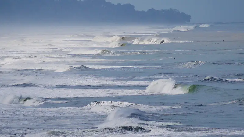
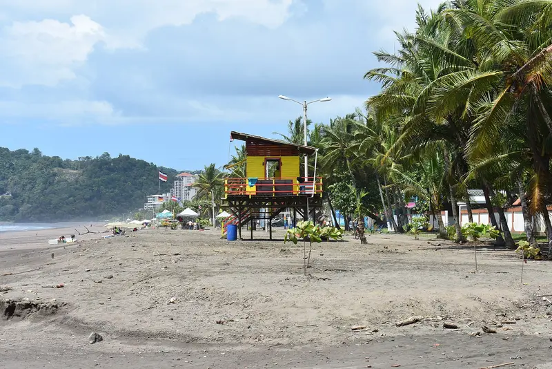
    A roughly four-kilometre long beach with dark sand, stretching in an arc in front of the town. At the south end, the waves break more gently and are suitable for beginner surfers; at the north end, the sea is rougher. You'll find surf schools and board rentals along the entire beach; watch out for currents when swimming.
    Open in Google Maps
    Playa Hermosa

    2Playa Hermosa

    Grey sandy beach about five kilometers south of Jacó and a meeting point for experienced surfers: Steep sandbanks create fast, hard-breaking waves close to the shore. The beach is unsuitable for swimming due to strong currents. A portion belongs to the Playa Hermosa–Punta Mala Wildlife Refuge, where Olive Ridley sea turtles nest between August and December; the nesting area is closed, but the hatchery at the ranger station can be visited.
    Open in Google Maps
    El Miro

    3El Miro

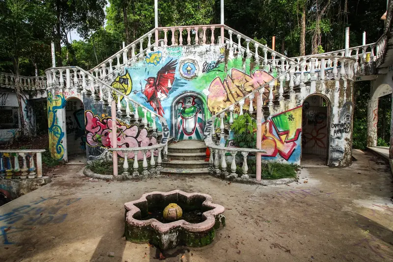
    The concrete ruin of an unfinished three-story mansion, perched on the hillside above Jacó's south end, now serves as a panoramic viewpoint over the entire bay. The trail begins off the road to Quepos, is unmarked and steep; it's about one kilometer to the first viewpoint, and another to the ruin. Bring sturdy shoes and water; after rain, the path can be slippery. Capuchin monkeys are often spotted along the way.
    Open in Google Maps
    Carara National Park

    4Carara National Park

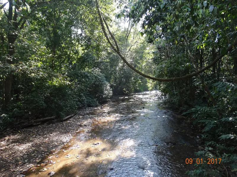
    The 52-square-kilometer park north of Jacó was established as a biological reserve in 1978 and declared a national park in 1998. Its main attraction are the Scarlet Macaws, as it is home to one of the largest wild populations in the country. The main entrance is about 2 kilometers south of the bridge over the Río Grande de Tárcoles; a 1.2-kilometer accessible trail leads into the forest. Open daily, from 7 AM in the dry season and 8 AM in the rainy season, both until 4 PM. A few minutes north, from the Tárcoles Bridge, you can observe large crocodiles on the riverbank.
    Open in Google Maps

    Restaurants in Jacó

    1

    Lemon Zest

    Restaurant by Chef Richard Lemon on Avenida Pastor Díaz with a modern, inventive menu. One of the town's more upscale addresses, good for a quieter dinner.
    Show on Google Maps
    2

    El Hicaco

    A fish and seafood restaurant, its menu guided by the season's catch. A reliable choice for fresh fish in Jacó.
    Show on Google Maps
    3

    Tacobar

    Casual spot in the Jaco Walk shopping center with Mexican-style tacos and lighter plate dishes. You first choose the base and then the protein, such as grilled fish or shrimp.
    Show on Google Maps

    Surf Spot and Party Area

    Life at the BeachSurf schools and rental stands line the beach, along with operators for quad and horseback riding tours, ziplines, and boat trips. On weekends, the beach and bars are noticeably busier than during the week.Nightlife with a ReputationJacó is known for its nightlife, featuring open bars, sports bars, clubs, and a casino. In many bars, women offer sexual services; this doesn't necessarily say anything about the bar itself, but it shapes the image of the nightlife.

    Nightlife

    1

    PuddleFish Brewery

    Brewery and taproom in southern Jacó, opposite El Miro Hill. Along with its own beer, find pub grub and food trucks; a relaxed spot for early evenings.
    Show on Google Maps
    2

    Orange Pub

    Bar and club on the main street with live music, DJs, pool and foosball tables, and a dance floor. Large screens show sports, plus bar food.
    Show on Google Maps

    Arrival and Mobility

    ArrivalFrom Juan Santamaría Airport near San José, the drive is about an hour and a half via Route 27 and coastal Route 34. Besides rental cars, shared shuttles, private drivers, and affordable public buses are available from downtown San José. A water taxi connects Playa Herradura, north of Jacó, with Montezuma on the Nicoya Peninsula in about an hour.LocallyThe town center and beach can be explored on foot; you won't need a car in town. For short trips to Playa Hermosa or Playa Herradura, take red taxis or ride-sharing services; buses heading towards Quepos also go to Playa Hermosa.
    Accommodations in Jacó

    Find perfect stay in Jacó

    Booking.com* (Affiliate link)
    Search Hotels
    Agoda* (Affiliate link)
    Search Hotels
    Airbnb
    Vacation Rentals

    * Affiliate link: if you book through it, we earn a small commission. The price stays the same for you.

    Plan your trip to Jacó

    Save places, build a route and plan your city trip, all in one place.

    1. 1
      Sunrise over alpine peaks and a sea of clouds
      1234

      Round trip

      12 days · 4 stops

      Saved

      Pick a route

      Pick a ready-made one or save places and plan your own.

      Open bookmarks
    2. 2

      Trip to Jacó

      Live
      • 1Playa Jacó3 days
      • 2Playa Hermosa4 days
      • 3El Miro5 days
      Budget

      Plan your trip

      The planner sorts stops, days and budget. Plan together in real time.

      Start trip planning
    3. 3
      9:41 No signal
      Jacó
      Available offline

      Use it on the road

      Download the guide to your phone and use it on site, even offline.

    Nearby

    Central Pacific

    Central Pacific

    The Central Pacific is the stretch of coast between the Tárcoles River and Quepos, the quickest to reach from San José. You come here for Manuel Antonio National Park with its rainforest right on the beach, the surf beaches around Jacó, and sport fishing off Quepos.Jacó is approximately 100 kilometers from San José, about a two-hour drive via Route 27 and coastal Route 34. You reach Quepos and Manuel Antonio by continuing further south on the same road, a journey of around 157 kilometers from San José.The region is more developed than the Nicoya Peninsula: Paved roads, regular bus services, and a domestic airport near Quepos make it practical even for short stays.
    Montezuma

    Montezuma

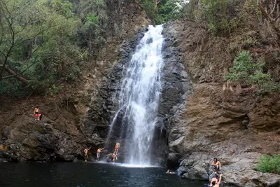
    Montezuma is a small coastal town on the eastern side of the southern tip of the Nicoya Peninsula, approximately 40 kilometers southwest of the Paquera ferry terminal. You come here for the waterfalls just behind the town, the beaches along the coast, and its proximity to the Cabo Blanco Nature Reserve.For a long time, Montezuma was a remote fishing village. In the 1950s, Swedish Nicolás Wessberg and Danish Karen Mogensen settled here; their efforts led to the establishment of Cabo Blanco in 1963, Costa Rica's first protected area. Later, expats and backpackers arrived, giving the town its somewhat alternative character that persists to this day.The center consists of a few streets with restaurants, accommodations, shops, and tour operators. To the north and south, rocky coves and sandy beaches line the coast, accessible on foot.From Montezuma, boat trips depart for Isla Tortuga in the Gulf of Nicoya, and a water taxi connects the town with Playa Herradura near Jacó on the opposite coast.
    Quepos

    Quepos

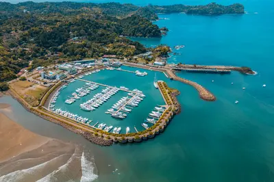
    Quepos is a port town on the Central Pacific coast, approximately 157 road kilometers south of San José, and the gateway to Manuel Antonio National Park. You come here as a more affordable, everyday base for the park and for the deep-sea fishing, for which Quepos is internationally known.The area was the settlement territory of the indigenous Quepoa, after whom the town is named. In 1563, Spanish conquerors under Juan Vázquez de Coronado founded the settlement of San Bernardino de Quepo here; the surviving Quepoa were relocated to a reserve in 1746.The center is compact, with a bus station, market, sodas, and small shops. On the southern edge lies Marina Pez Vela with yachts, restaurants, and the boarding points for fishing and catamaran tours. Along the water runs the Malecón, a simpler waterfront promenade.For anglers, the period from November to April is considered peak season for sailfish and marlin. The national park is about 25 minutes away by bus via the hillside road, along which many hotels are located.
    Manuel Antonio

    Manuel Antonio

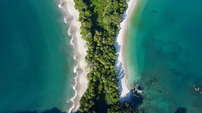
    Manuel Antonio is the small town on the Central Pacific coast south of Quepos, where the national park of the same name begins, approximately 157 road kilometers from San José. You come for the park, where rainforest borders directly on bright sandy coves and sloths, capuchin monkeys, and squirrel monkeys are often seen up close.The national park, founded in 1972, covers almost 2,000 hectares of land and a significantly larger marine area. Although it is one of the smallest national parks in the country, it attracts the most visitors: Between 2012 and 2022, approximately 4.4 million people visited. Four beaches are located within the park, including Playa Manuel Antonio and Playa Espadilla Sur, separated by a land bridge leading to the rock formation Punta Catedral.The town itself consists of hotels, restaurants, and tour operators along the winding road that leads from Quepos over the hill down to Playa Espadilla. You can visit the public Playa Espadilla in front of the park entrance without a ticket.Important for planning: The park is closed on Tuesdays and otherwise open from 7 AM to 4 PM; the beaches within the park close an hour earlier. Tickets are available exclusively online through the SINAC national park authority system and not at the entrance; they are limited and often sell out early on many days.
    Santa Teresa

    Santa Teresa

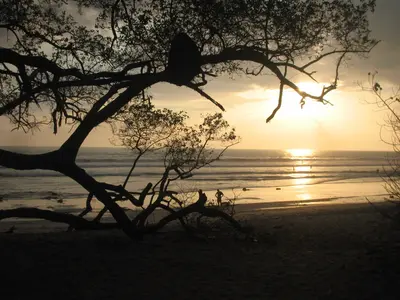
    Santa Teresa is a surf town on the Pacific coast in the south of the Nicoya Peninsula, about five hours from San José by car and ferry. You come for the waves, which offer something for almost everyone from beginner to pro, and for the sunsets, where half the town gathers on the beach in the evenings.The town stretches along a single main road that runs from the fishing village of Mal País in the south, through Playa Carmen and Playa Santa Teresa, up to Playa Hermosa in the north. Most cafés, restaurants, and surf schools are located between Playa Carmen and Playa Santa Teresa.Until a few decades ago, Santa Teresa was a remote village that lived off agriculture, cattle farming, and fishing. Today, tourism is the main source of income for most families, and the audience is international: surfers, yoga tourists, digital nomads.For swimming, the beaches are often less suitable due to the surf and currents. At low tide, tidal pools form between the rocks of Santa Teresa and Mal País, where you can bathe; water shoes protect against the sharp stones.

    Sources & method

    • Photos: Wikimedia Commons, Pexels, Google Maps. Each photo carries its credit.
    • Place data such as addresses and ratings comes from Google Maps.
    • The content is based on web research from public, traceable sources. How the content is made · The role of AI