Fernweh: Home
    ExploreTravel GuidesPlan a tripMy tripLast visited
    de|en
    All Places & RegionsAll highlightsAbout FernwehFAQPrivacy PolicyImprint
    ExploreTravel GuidesPlan a tripMy tripLast visited
    Teide National Park
    Ingo Mehling / Wikimedia Commons / CC BY-SA 4.0

    Spain

    Teide National Park

    Point of InterestNature

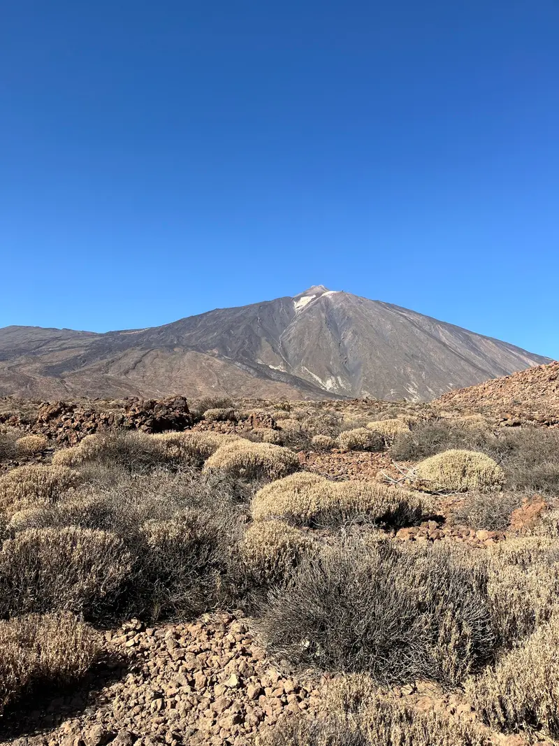
    The Teide National Park (Parque Nacional del Teide) encompasses the central highlands of Tenerife around Mount Teide, which at 3,715 meters is the highest mountain in Spain.

    by Felix Gillen

    1. Home
    2. Destinations
    3. Spain
    4. Tenerife
    5. Teide National Park
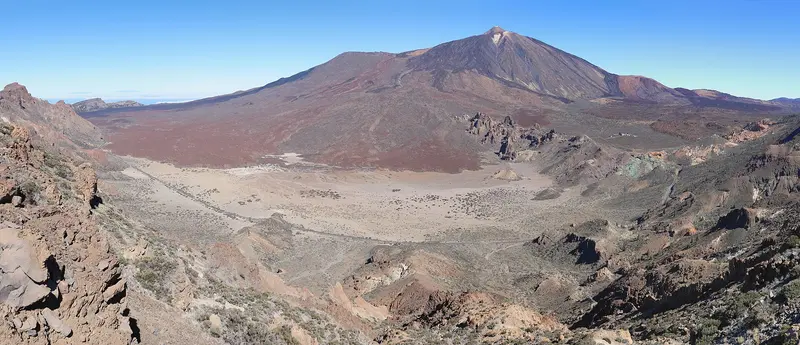
    The Teide National Park (Parque Nacional del Teide) encompasses the central highlands of Tenerife around Mount Teide, which at 3,715 meters is the highest mountain in Spain. The park was established on January 22, 1954, covers approximately 190 square kilometers, and has been on the UNESCO World Heritage List since 2007. In 2023, it recorded over 4.4 million visits.Below the summit, the Caldera Las Cañadas unfolds, a vast plateau of lava flows, pumice, and rock pinnacles, overlooked by Pico Viejo, which at 3,135 meters is the second-highest volcano in the Canary Islands. Among the rocks grow endemic plants such as the red Teide bugloss, whose flower pyramids can reach up to three meters in height, and the Teide violet, which can be found all the way to the summit and is considered Spain's highest-growing flowering plant.The cable car takes you up to 3,555 meters in eight minutes; from there, paths lead to two viewpoints. For the final section to the crater, you need a pre-booked permit.

    Sights in Teide National Park

    Discover the most important sights and attractions

    Roques de García
    Attraction

    1Roques de García

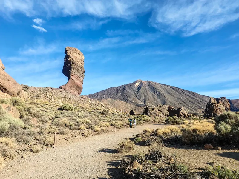
    The rock formations of Roques de García rise up in the middle of the Caldera Las Cañadas, opposite the Cañada Blanca Visitor Center. An easy 3.5-kilometer circular trail leads in about two hours from the Mirador de La Ruleta, past Roque Cinchado, El Torrotito, and other rocks, down to the Llano de Ucanca plain. Shortly before the end, you pass La Catedral, a former phonolite lava vent that erosion has exposed.
    Open in Google Maps
    Teleférico del Teide
    Point of Interest

    2Teleférico del Teide

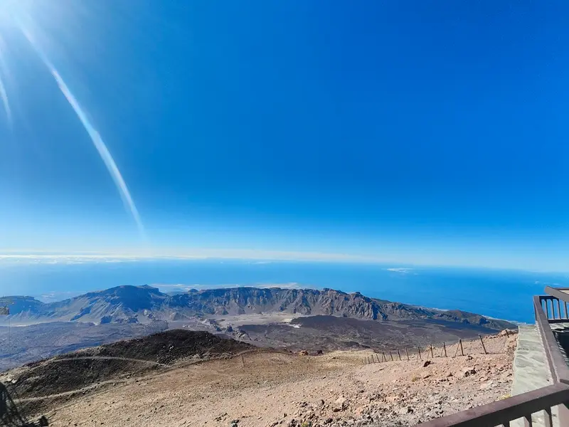
    The Teide cable car has been operating since August 1971 and takes you in eight minutes from the base station at 2,356 meters to the upper station La Rambleta at 3,555 meters. From the top, paths lead to the La Fortaleza viewpoint in the north and the Pico Viejo viewpoint in the south, offering views of the Pico Viejo crater and, on clear days, La Gomera, El Hierro, and La Palma. For the Telesforo Bravo path to the summit crater, you need a separate permit obtainable via the Tenerife ON portal.
    Open in Google Maps
    Pico del Teide
    Natural Feature

    3Pico del Teide

    Teide, at 3,715 meters, is Spain's highest mountain; this measurement by the IGN geography institute from 1983 was confirmed by GPS in 2011, though you often still read 3,718 meters. You reach the summit crater from the cable car's upper station via the Telesforo Bravo path, for which a pre-booked permit is required. The Teide Violet grows right up to the top, considered Spain's highest-growing flowering plant.
    Open in Google Maps
    Pico Viejo
    Natural Feature

    4Pico Viejo

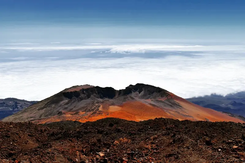
    Pico Viejo, west of Teide, is, at 3,135 meters, the Canary Islands' second-highest volcano. You'll overlook its wide crater from the Pico Viejo viewpoint, which you reach from the Teide cable car's top station; on a clear day, the view extends from there to the neighboring islands of La Gomera, El Hierro, and La Palma.
    Open in Google Maps

    Restaurants in Teide National Park

    Volcanic Land and World Heritage

    A World Heritage of LavaUNESCO added the National Park to its World Heritage List on June 28, 2007. It protects the Las Cañadas caldera, Teide and Pico Viejo, lava flows in black, red and ocher, and a flora adapted to high altitude and dryness.How High Is Teide?Many books state 3,718 meters. The Spanish Geographical Institute IGN, however, measured 3,715 meters in April 1983, and a GPS measurement by the Canary Island surveying company Grafcan confirmed this value in December 2011.Visitor Centers and Shepherd LifeThe Cañada Blanca Visitor Center, opened in June 2022 opposite the Roques de García, tells the story of human life in Las Cañadas since prehistory and of research in astronomy, geology, and vulcanology. The El Portillo Visitor Center focuses on the formation, climate, and adaptations of plants and animals, and is accompanied by a two-hectare botanical garden. The small Juan Évora Ethnographic Museum, housed in the restored home of the last inhabitant of Las Cañadas, illustrates how the shepherds lived here. East of Teide, near Izaña at about 2,370 meters, stands the Teide Observatory.

    Exploring the National Park

    Getting ThereRoads lead into the park from several directions, including the TF-21 from La Orotava to Granadilla, where the El Portillo information point sits at kilometer 31.9. Excursion buses also run into the park from some resorts in the south.Cable Car and SummitThe Teide Cable Car has been running since 1971 and takes eight minutes from the base station at 2,356 m (7,730 ft) to the La Rambleta upper station at 3,555 m (11,663 ft). From there, short paths lead to the La Fortaleza viewpoint to the north and the Pico Viejo viewpoint to the south. For the Telesforo Bravo trail to the crater you need a permit, booked online through the Tenerife ON portal; since January 2026 an environmental fee has been charged for it, as well as for the ascent via Montaña Blanca. Check the portal for current prices, time slots and exemptions.HikingRoques de García loop: 3.5 km (2.2 miles), about two hours, easy, starting and ending at the Mirador de La Ruleta.The botanical garden at the El Portillo Visitor Center has a loop path of just over 1 km, about 500 m of which is suitable for people with reduced mobility.

    Accommodations in Teide National Park

    Find perfect stay in Teide National Park

    Booking.com* (Affiliate link)
    Search Hotels
    Agoda* (Affiliate link)
    Search Hotels
    Airbnb
    Vacation Rentals

    * Affiliate link: if you book through it, we earn a small commission. The price stays the same for you.

    Campgrounds in Teide National Park

    Find perfect campground in Teide National Park

    Search via Google Maps
    Campgrounds nearby (15km)
    Camping.info
    Find Campgrounds
    Park4Night
    RV Parks & Camping

    Nearby

    Tenerife

    Tenerife

    The largest and most populous island of the Canary Islands is known for the Teide volcano, at 3,715 meters, the highest mountain in Spain, for diverse beaches and a vibrant nightlife.
    La Gomera

    La Gomera

    A green, circular island, famous for its mist-shrouded Garajonay National Park and deep gorges that attract hikers.
    Gran Canaria

    Gran Canaria

    Often called a 'miniature continent', the island offers golden sand dunes, picturesque mountain villages and the lively capital Las Palmas.
    Canary Islands

    Canary Islands

    The Canary Islands are an archipelago of volcanic origin in the Atlantic off the coast of Northwest Africa. They are known for their mild year-round climate and very diverse landscapes: From barren lava fields and dunes to humid laurel forests, you'll find room here for hiking, swimming, and culture.
    La Palma

    La Palma

    The "Isla Bonita" charms with its lush nature, the Caldera de Taburiente National Park, and excellent conditions for stargazing. From September 19 to December 13, 2021, the Tajogaite volcano erupted on the Cumbre Vieja ridge. Its lava covered approximately 1,219 hectares in the island's west, in the municipalities of El Paso, Los Llanos de Aridane, and Tazacorte. Current information on safety and natural hazards can be found in the German Federal Foreign Office's travel and safety advisories for Spain.

    Sources & method

    • Photos: Wikimedia Commons, Google Maps. Each photo carries its credit.
    • Place data such as addresses and ratings comes from Google Maps.
    • The content is based on web research from public, traceable sources. How the content is made · The role of AI