Fernweh: Home
    ExploreTravel GuidesPlan a tripMy tripLast visited
    de|en
    All Places & RegionsAll highlightsAbout FernwehFAQPrivacy PolicyImprint
    ExploreTravel GuidesPlan a tripMy tripLast visited
    • Neighborhoods & highlights
    • Eat & drink
    • Culture
    • Getting around
    • Accommodation
    • Plan trip
    • Nearby
    Kélibia
    Calips / Wikimedia Commons / CC BY 3.0

    Tunisia

    Kélibia

    City

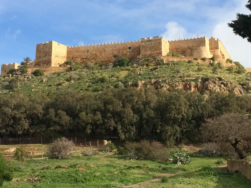
    Kélibia is located on the east coast of Cap Bon, about 100 kilometers from Tunis, beneath a fortress on a promontory overlooking the sea.

    by Felix Gillen

    1. Home
    2. Destinations
    3. Tunisia
    4. Cap Bon & Hammamet
    5. Kélibia
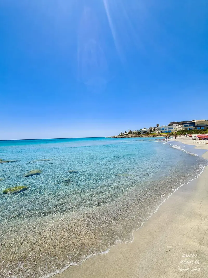
    Kélibia is located on the east coast of Cap Bon, about 100 kilometers from Tunis, beneath a fortress on a promontory overlooking the sea. The town is a starting point for the Punic ruins of Kerkouane, the UNESCO World Heritage site about eleven kilometers north.Kélibia has about 55,000 inhabitants and one of Tunisia's most important fishing ports. North of the center lies the sandy beach of El Mansourah.

    Sights in Kélibia

    Discover the most important sights and attractions

    Fortress of Kélibia
    Historic Landmark

    1Fortress of Kélibia

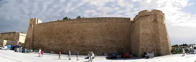
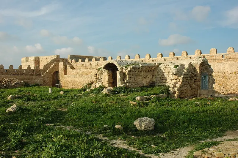
    The fortress, situated on a rocky outcrop above the city and sea, spans approximately 1.5 hectares. Within its walls are Roman cisterns, remains of an Aghlabid-era mosque and the Byzantine castle, plus a lighthouse from the French period. Open daily, 9 AM to 7 PM in summer, 9 AM to 5 PM in winter, admission 8 Dinar.
    Open in Google Maps
    Harbor of Kélibia
    Point of Interest

    2Harbor of Kélibia

    The fishing port below the fortress accounts for about 15 percent of Tunisia's fish catch. At night, boats set out for Lamparo fishing, a method where lamps attract sardines and mackerel to the surface.
    Open in Google Maps
    Beach El Mansourah
    Beach

    3Beach El Mansourah

    Sandy beach north of the city center, with several restaurants overlooking the sea.
    Open in Google Maps
    Kerkouane
    Museum

    4Kerkouane

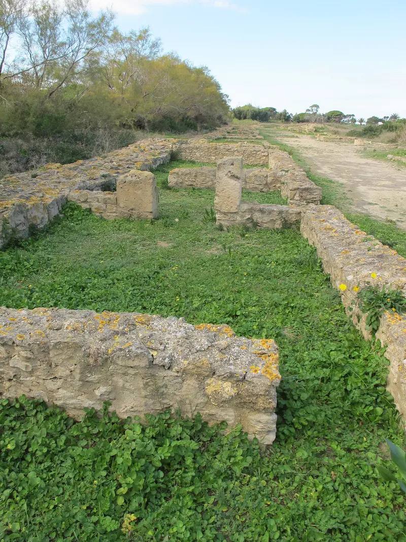
    The only preserved Punic city, eleven kilometers north of Kélibia directly on the coast, became a UNESCO World Heritage site in 1985. See a rectangular street network, houses with private baths and mosaic floors bearing the sign of goddess Tanit, plus a museum. Summer 9-6pm, Winter 9-4pm, 8 Dinar entry, museum closed Mondays.
    Open in Google Maps

    Restaurants in Kélibia

    1

    Restaurant El Mansourah

    Restaurant with a seafront terrace by El Mansourah beach. The menu features Tunisian fish dishes such as grilled prawns, sardine soup and fish tajine, and in the evening you can watch the sunset.
    Show on Google Maps
    2

    Toro Fish

    Fish restaurant near the fortress with affordable prices. A specialty is Kammounia with seafood, a cumin stew.
    Show on Google Maps
    3

    Monaco Bay

    Restaurant and bar on Petit-Paris-Plage north of the center, just steps from El Mansourah beach. Ideal for a post-beach meal.
    Show on Google Maps

    History and Culture

    From Aspis to fortressDuring the First Punic War the town was called Aspis; the Romans named it Clupea. Greeks from Sicily founded the fortress at the end of the 4th century BC, and its present form goes back to the rebuilding by the Zirid prince Yahya in 1112.Fishing and MuscatThe harbour lands around 15,000 tonnes of fish a year, about 15 per cent of Tunisia's catch. Kélibia is known for lamparo fishing, in which lamps attract shoals of fish at night.Muscat de Kélibia: a dry, aromatic white wine from Muscat grapes with its own appellation (AOC)FIFAK: the Festival international du film amateur de Kélibia has been held since 1964KerkouaneThe Punic town existed from the 6th to the mid-3rd century BC. Because it was never rebuilt after its destruction in the First Punic War, its layout of houses, baths and streets has survived.

    Getting There & Around

    Getting There Car: From Tunis, it's about 100 kilometers via Menzel Bouzelfa. Airport: The nearest airport is Tunis-Carthage, approximately 110 kilometers away. Getting Around The port and fortress are located close to each other on the southern edge of the town. For Kerkouane and the beaches in the north, you'll need a car or a taxi.

    Accommodations in Kélibia

    Find perfect stay in Kélibia

    Booking.com* (Affiliate link)
    Search Hotels
    Agoda* (Affiliate link)
    Search Hotels
    Airbnb
    Vacation Rentals

    * Affiliate link: if you book through it, we earn a small commission. The price stays the same for you.

    Plan your trip to Kélibia

    Save places, build a route and plan your city trip, all in one place.

    1. 1
      Sunrise over alpine peaks and a sea of clouds
      1234

      Round trip

      12 days · 4 stops

      Saved

      Pick a route

      Pick a ready-made one or save places and plan your own.

      Open bookmarks
    2. 2

      Trip to Kélibia

      Live
      • 1Fortress of Kélibia3 days
      • 2Harbor of Kélibia4 days
      • 3Beach El Mansourah5 days
      Budget

      Plan your trip

      The planner sorts stops, days and budget. Plan together in real time.

      Start trip planning
    3. 3
      9:41 No signal
      Kélibia
      Available offline

      Use it on the road

      Download the guide to your phone and use it on site, even offline.

    Nearby

    El Haouaria

    El Haouaria

    El Haouaria is located at the northeastern tip of Cap Bon, about 120 kilometers from Tunis. You come for the ancient quarries of Ghar el Kebir by the sea, and for the falconers who celebrate their Sparrowhawk Festival every year in late June.In spring, around 40,000 raptors of 24 species rest at the cape before crossing the Mediterranean. Off the coast lie the islands of Zembra and Zembretta.
    Cap Bon & Hammamet

    Cap Bon & Hammamet

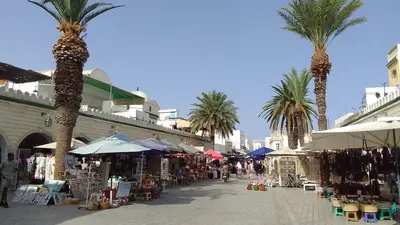
    The Cap Bon peninsula juts into the Mediterranean in northeast Tunisia, and on its southern edge, about 60 kilometers south of Tunis, lies the seaside resort of Hammamet. The region combines long sandy beaches with the Punic ruin city of Kerkouane, the pottery craft of Nabeul, and the falconry tradition of El Haouaria.Hammamet, Nabeul, and Kélibia are suitable as a base; all three are located on the coast.
    Nabeul

    Nabeul

    Nabeul is the capital of the governorate on Cap Bon, approximately 60 kilometers southeast of Tunis and about 12 kilometers northeast of Hammamet. The city is known for painted ceramics, Harissa, and its weekly market on Friday mornings.With around 84,000 inhabitants, Nabeul is the region's second main tourist hub after Hammamet; most hotels are located along the beachfront promenade. On the outskirts of the city lie the remains of ancient Neapolis, whose mosaics are displayed in the Archaeological Museum.
    Hammamet

    Hammamet

    Hammamet is located approximately 60 kilometers south of Tunis and is the most important seaside resort in the Cap Bon region. Its small, walled medina with the kasbah is right on the beach, and in summer, visitors also come for the festival at Villa Dar Sébastien.The city, with around 91,000 inhabitants, stretches along the coast as a hotel belt: Hammamet Nord, the center around the medina, and Hammamet Sud, with Yasmine Hammamet and its marina about six kilometers southwest of the old town.
    Sidi Bou Saïd

    Sidi Bou Saïd

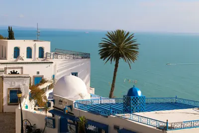
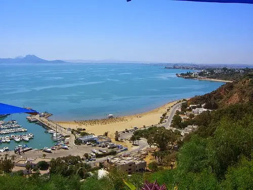
    Sidi Bou Saïd is a village on a cliff above the Gulf of Tunis, about 20 kilometers northeast of the capital and directly above Carthage. Its white houses with blue doors have been protected by a 1915 decree, and in July 2026, UNESCO added the village to its World Heritage List. Its alleys host traditional cafes overlooking the bay, and the palace of Baron d'Erlanger. The TGM suburban train takes about 35 minutes from Tunis Marine.

    Sources & method

    • Photos: Wikimedia Commons, Google Maps. Each photo carries its credit.
    • Place data such as addresses and ratings comes from Google Maps.
    • The content is based on web research from public, traceable sources. How the content is made · The role of AI