Fernweh: Home
ExploreGuideDestinationsMy tripsMy trip
de|en
All Places & RegionsRound tripsNight trains in EuropeAll highlightsAbout FernwehFAQPrivacy PolicyImprint
Download on the App StoreGet it on Google Play
ExploreGuideDestinationsMy tripsMy trip
    • Overview
    • Places in the region
    • Recommendations
    • Culture
    • Getting around
    • Round trips
    • Nearby
    Galápagos Islands

    Photo by Lloyd Douglas on Pexels

    Ecuador

    Galápagos Islands

    Region

    UK FCDO travel advice (updated 1 November 2026): heavy rain caused flooding on Santa Cruz Island, and an emergency was declared on 31 October 2026, with road closures, power cuts and disruption to journeys to Baltra airport.

    by Felix Gillen

    1. Home
    2. Destinations
    3. Ecuador
    4. Galápagos Islands
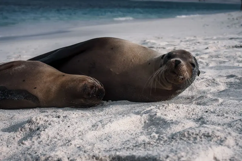
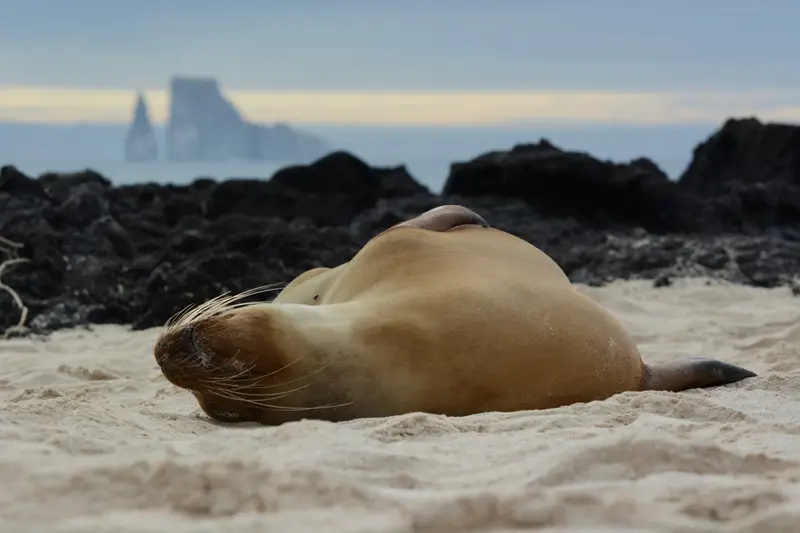
    UK FCDO travel advice (updated 1 November 2026): heavy rain caused flooding on Santa Cruz Island, and an emergency was declared on 31 October 2026, with road closures, power cuts and disruption to journeys to Baltra airport. Avoid flooded areas, confirm travel arrangements with your airline or tour operator and check the current FCDO travel advice, linked on the country page.The Galápagos Islands lie around 1,000 kilometres off the coast of Ecuador in the Pacific; giant tortoises, marine iguanas, sea lions and boobies can be watched here at close range. The archipelago comprises 127 islands, islets and rocks, only four of which are inhabited; around 97 per cent of the land area has been a national park since 1959.In 1978 Galápagos was among the first sites on the UNESCO World Heritage List; the surrounding marine reserve was created in 1986 and enlarged in 1998 to around 133,000 square kilometres. Charles Darwin visited the islands in 1835. Most travellers land on Baltra near Santa Cruz or on San Cristóbal and explore the islands by cruise ship or from the towns of Puerto Ayora, Puerto Baquerizo Moreno and Puerto Villamil.
    Ecuador travel guideSee the round tripPlan a trip with Galápagos Islands

    Contents

    • Overview
    • Places in the region
    • Recommendations
    • Culture
    • Getting around
    • Round trips
    • Nearby
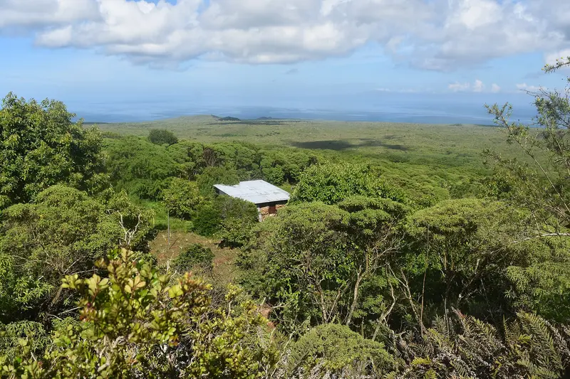
    Santa Cruz (with Puerto Ayora), San Cristóbal (with its provincial capital Puerto Baquerizo Moreno), Isabela (with Puerto Villamil), and the small Floreana are inhabited; as of the 2022 census, 28,583 people lived on the islands. Airports are on Baltra (next to Santa Cruz) and San Cristóbal. In total, the park administration designates 176 visitor sites: 85 on land and 91 at sea.
    Floreana

    Andrew Katsis / Wikimedia Commons / CC BY 4.0, mod.
    Place 1 of 4

    Floreana

    Before you travel, check the current UK FCDO travel advice, linked on the country page, which reports flooding on Santa Cruz and an emergency declared on 31 October 2026, and the national park's notices on closed visitor sites.

    Discover
    San Cristóbal and Puerto Baquerizo Moreno

    Photo by Caroline Ebinger on Unsplash
    Place 2 of 4

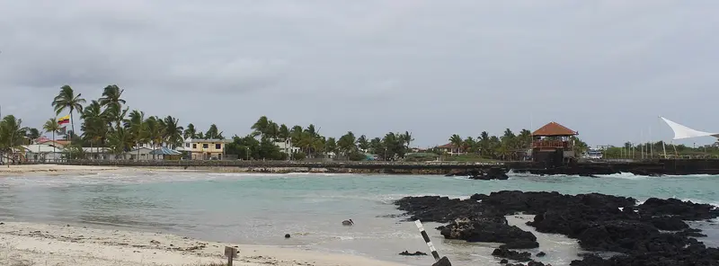
    San Cristóbal and Puerto Baquerizo Moreno

    San Cristóbal is the fifth-largest Galápagos island, covering 558 square kilometers. Its main town, Puerto Baquerizo Moreno, is the provincial capital and has its own airport.

    Discover
    Isabela and Puerto Villamil

    David C. S. / Wikimedia Commons / CC BY-SA 4.0, mod.
    Place 3 of 4

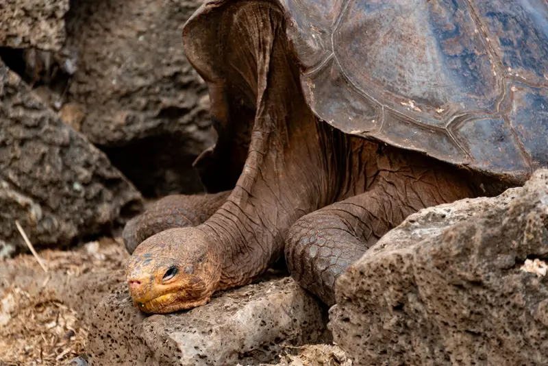
    Isabela and Puerto Villamil

    Isabela, at approximately 4,586 square kilometers, is Galápagos' largest island, bigger than all others combined. Its small main town, Puerto Villamil, is about a two-hour boat ride from Santa Cruz.

    Discover
    Santa Cruz and Puerto Ayora

    Photo by Diego F. Parra on Pexels

    Place 4 of 4

    Santa Cruz and Puerto Ayora

    UK FCDO travel advice (updated 1 November 2026): heavy rain caused flooding on Santa Cruz Island and an emergency was declared on 31 October 2026, with road closures, power cuts and disruption to journeys to Baltra airport.

    Discover

    Nature & Travel Time

    Two SeasonsDecember to May: warm season with water around 25 degrees and air from 22 to 30 degrees, calmer seas and short showers; sea turtles lay their eggs.June to November: cooler Garúa season under the influence of the Humboldt Current, water around 22 degrees and air from 19 to 26 degrees; Blue-footed boobies court, penguins are easier to spot.Albatrosses breed from April to December on Española, which is only accessible by cruise.Peak SeasonIt is busiest from mid-June to early September and from mid-December to mid-January.

    Entry, Fees, Rules, Island Hopping

    Before DepartureTransit Control Card (TCT): 20 US dollars per trip, payable at Quito or Guayaquil airport before departure or online in advance from May 2025. You must present your passport, a round-trip flight ticket, and accommodation booking; as a tourist, you may stay a maximum of 60 days per year.Baggage will be checked before the flight for introduced plants and animals.National Park Entrance FeeUpon arrival in Baltra or San Cristóbal, park rangers collect the entrance fee, payable in cash: foreign visitors aged 12 and over 200 US dollars, under 12 years 100 US dollars, citizens of the Andean Community and Mercosur 100 and 50 US dollars respectively; children under 2 years are exempt (official park administration tariff list, as of April 2026).Visitor RulesMaintain a 2-meter distance from all animals, including with your camera; do not touch, feed, or pursue animals.Stay on marked paths, do not take anything (including sand, shells, or lava rocks) and do not introduce anything.No smoking, no alcohol, no fires; no flash photography, drones only with permission.Most visitor sites are accessible only with an approved naturalist guide; some nearby sites like Tortuga Bay are accessible without a guide.Cruises or Island HoppingCruises usually last 4 to 12 days and reach remote islands like Española and Genovesa overnight, but they cost significantly more and follow a fixed itinerary. For Island Hopping, you stay in the towns and travel by public speedboats (Lanchas) in about two hours from Santa Cruz to San Cristóbal, Isabela, or Floreana; day trips to uninhabited islands are limited and booked up early. Guidebooks also recommend a combination of both.

    Round trips through this region
    Andes, Cuenca and Galápagos in 15 days

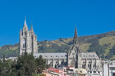
    Andes, Cuenca and Galápagos in 15 days

    The route connects the highlights of the Andean highlands with the colonial city of Cuenca and concludes with four days on the Galapagos Islands. You travel to Cuenca by long-distance buses, from Cuenca to Guayaquil by bus or domestic flight, to Galapagos by flight, and between the islands by public speedboats.

    16 Days
    9 stops
    Open jaw

    Ymblanter·CC BY-SA 4.0

    Nearby

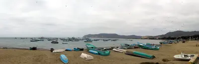
    Puerto López and Machalilla

    Puerto López and Machalilla

    UK FCDO travel advice (updated 1 November 2026): the FCDO advises against all but essential travel to the province of Manabí, which includes Puerto López and Machalilla National Park. Check the current FCDO travel advice, linked on the country page.The fishing town of Puerto López in Manabí province is the base for Machalilla National Park, founded in 1979, with Los Frailes beach, the community of Agua Blanca and Isla de la Plata, home to blue-footed, red-footed and Nazca boobies. Humpback whales pass along the coast from June to September.

    Annom·public domain

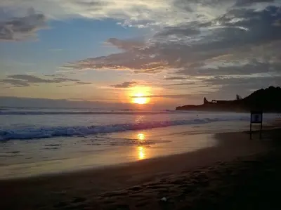
    Montañita

    Montañita

    UK FCDO travel advice (updated 1 November 2026): the FCDO advises against all but essential travel to the province of Santa Elena, which includes Montañita. Check the current FCDO travel advice, linked on the country page.Montañita in Santa Elena province, around 180 kilometres north-west of Guayaquil, is a surf town on the Ruta del Sol. The strong, consistent waves suit experienced surfers best; an international surf competition takes place here around Carnival in February.

    Mikaelashamrock·CC BY-SA 4.0

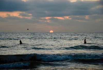
    Pacific Shore

    Pacific Shore

    UK FCDO travel advice (updated 1 November 2026): the FCDO advises against all but essential travel to the coastal provinces of Esmeraldas, Manabí, Santa Elena, Guayas, El Oro, Los Ríos and Santo Domingo de los Tsáchilas, except transit through Guayaquil airport. Check the current FCDO travel advice, linked on the country page.Ecuador's coast stretches from the port city of Guayaquil to the beaches of Santa Elena and Manabí provinces. Montañita is known for its waves, while Puerto López is the base for Machalilla National Park, Isla de la Plata and, from June to September, whale watching.

    Michiel·Pexels

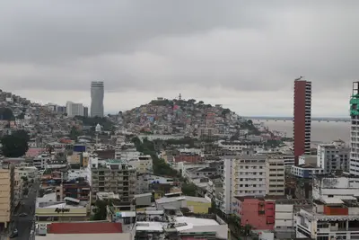
    Guayaquil

    Guayaquil

    UK FCDO travel advice (updated 1 November 2026): the FCDO advises against all but essential travel to the province of Guayas, which includes Guayaquil, except transit through Guayaquil airport. Check the current FCDO travel advice, linked on the country page.Guayaquil on the Río Guayas is Ecuador's largest city, with around 2.7 million inhabitants in the canton. For travellers the main sights are the 2.5-kilometre riverside promenade Malecón 2000, the old quarter of Las Peñas on Cerro Santa Ana, Parque Seminario with its iguanas and the museums along the Malecón; many use the city as a springboard to Galápagos.

    Alejandro Robles Duque·Pexels

    El Cajas National Park

    El Cajas National Park

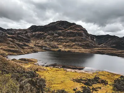
    For current travel and safety advice, including any state of emergency, check the UK FCDO travel advice, linked on the country page.El Cajas National Park lies around 30 kilometres west of Cuenca on the road towards the coast and has been a national park since 1996. Between around 3,100 and 4,500 metres there are 786 bodies of water, 165 of them larger than one hectare; most hiking trails start at Laguna Toreadora.

    Romario Rodrigo·Pexels

    Your next steps

    Galápagos Islands is in Ecuador. Ways to carry on from here.

    • More in Ecuador

      Highlights, areas, routes and the best time to travel for all of Ecuador.

      Ecuador travel guide
    • Round trips with Galápagos Islands

      One route passes through Galápagos Islands, with stops, nights and a map.

      See the round trip
    • Plan a trip with Galápagos Islands

      The Guide asks about season, length and who is coming, and suggests a trip with Galápagos Islands.

      Plan the trip

    Sources & method

    • Photos: Pexels. Each photo carries its credit.
    • The content is based on web research from public, traceable sources. How the content is made · The role of AI