Fernweh: Home
    ExploreTravel GuidesPlan a tripMy tripLast visited
    de|en
    All Places & RegionsAll highlightsAbout FernwehFAQPrivacy PolicyImprint
    ExploreTravel GuidesPlan a tripMy tripLast visited
    Parque Nacional Lauca
    PeladínSinOlfato / Wikimedia Commons / CC BY-SA 3.0

    Chile

    Parque Nacional Lauca

    National ParkNature

    The National Park protects approximately 1,379 square kilometers of Altiplano between Putre and the Bolivian border.

    by Felix Gillen

    1. Home
    2. Destinations
    3. Chile
    4. Norte Grande (Altiplano)
    5. Parque Nacional Lauca
    The National Park protects approximately 1,379 square kilometers of Altiplano between Putre and the Bolivian border. Established in 1965 as a forest reserve, it became a National Park in 1970 and has been part of the UNESCO Lauca Biosphere Reserve since 1981. Volcanoes, Lago Chungará, wet highland meadows, and Aymara villages like Parinacota shape the landscape at elevations between about 3,200 and 6,342 meters.

    Sehenswürdigkeiten

    Discover the most important sights and attractions

    Church of Parinacota

    1Church of Parinacota

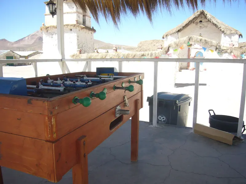
    The whitewashed church in the Aymara village of Parinacota was erected in 1670 and rebuilt in 1912; since 1979, it has been a National Monument. Inside, vibrant murals depict Saints, the Last Judgment, and the Crucifixion. The bell tower stands at one corner of the wall enclosing the churchyard.
    Open in Google Maps
    Lagunas de Cotacotani

    2Lagunas de Cotacotani

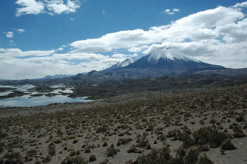
    The group of many small lagoons is located about 4 kilometers northwest of Lago Chungará at the foot of Parinacota, separated from it by a strip of volcanic rock. Islands and hills formed from the deposits of a large volcanic landslide around 18,000 years ago divide the water. The lagoons are fed by spring streams and groundwater from Chungará; via a wetland, they drain into the Río Lauca. A path approximately 13 kilometers long with several viewpoints leads through the area.
    Open in Google Maps
    Volcán Parinacota

    3Volcán Parinacota

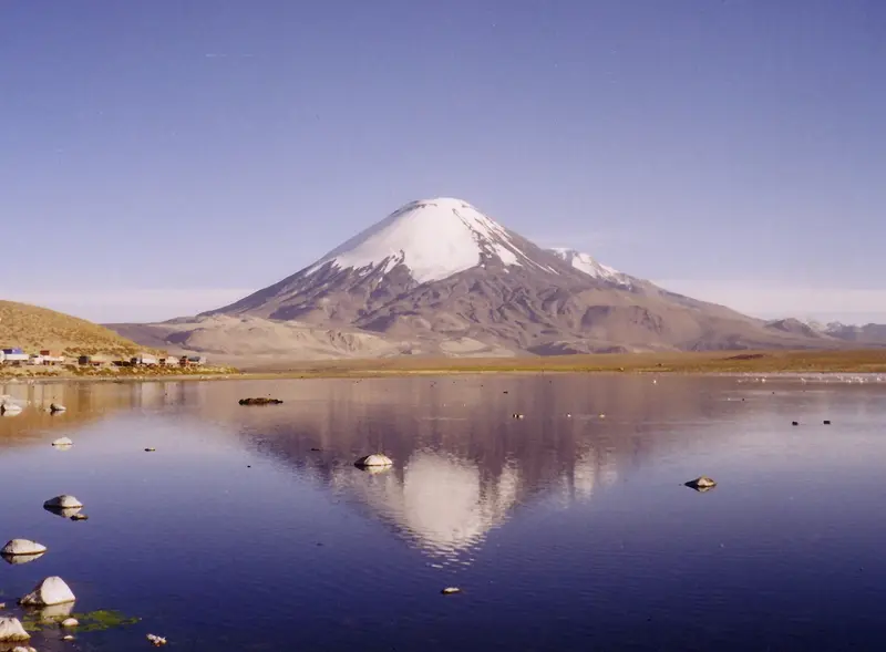
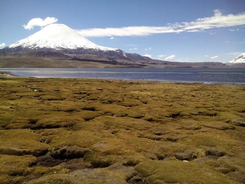
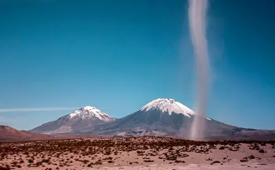
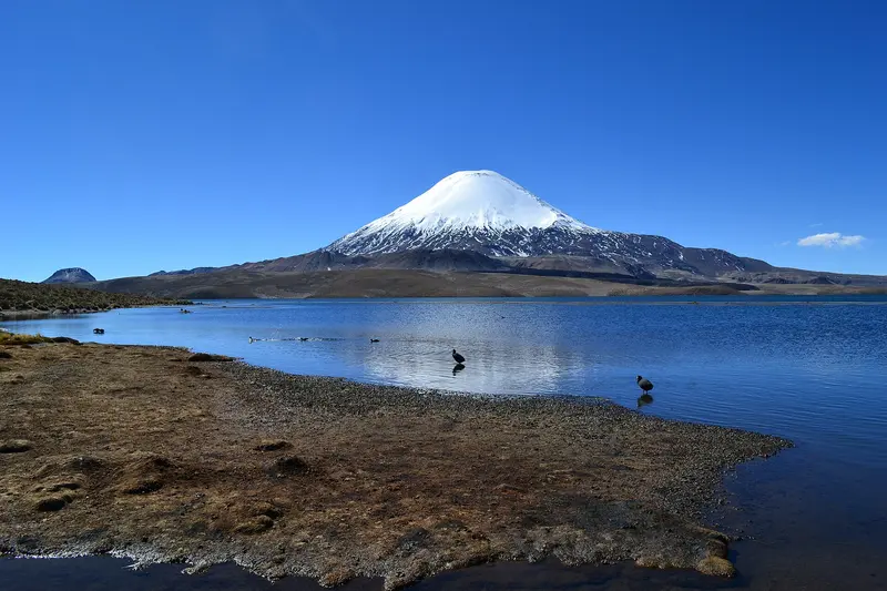
    The snow-capped stratovolcano, at 6,342 meters, is the park's highest peak and, with neighboring Pomerape, forms the Payachatas group near the Bolivian border. In calm weather, it reflects in Lago Chungará; at its foot lie the Lagunas de Cotacotani.
    Open in Google Maps
    Lago Chungará

    4Lago Chungará

    At about 4,500 meters below the Parinacota and Pomerape volcanoes near the Bolivian border, the highland lake is a breeding ground for waterfowl like Andean coots and flamingos, with a short path along its shore.
    Open in Google Maps

    Restaurants in Parque Nacional Lauca

    National Park Aymara villages

    The park is not an uninhabited protected area. In hamlets and estancias live Aymara families, who have been raising llamas and alpacas on the bofedales for generations. Many settlements are only inhabited during festivals or certain seasons, while families otherwise live in Putre or Arica.The village of Parinacota is the cultural center of the park. Its church was built in 1670, rebuilt in 1912, and has been a National Monument since 1979. The interior murals depict saints and scenes of colonial imagery. Around the church stand low stone houses, which come alive again during festivals.Respect On-SiteAsk before photographing people or herders' animals.Handicrafts, such as alpaca wool weavings, are often sold directly in front of the church.Stay on paths; the bofedales are sensitive and serve as grazing land.

    On the Road in Parque Nacional Lauca

    Getting ThereThe paved Ruta 11 leads from Arica via Putre through the park to the Bolivian border. By rental car or a guided tour, you reach Lago Chungará, the Lagunas de Cotacotani, and the village of Parinacota in one day from Putre. Day trips directly from Arica are possible, but strenuous due to the rapid altitude gain.PracticalEntry: According to CONAF, park admission is free. The Guardaparques assist visitors in the Parinacota sector; a CONAF office is located in Putre (Teniente del Campo 301). For current opening hours and information, visit conaf.cl.Altitude: Key destinations are over 4,000 meters. Stay overnight in Putre beforehand and do not ascend directly from the coast.Traffic: Ruta 11 carries many trucks to and from Bolivia; only stop at safe parking bays.Supplies: There are no gas stations or shops in the park. Bring water, provisions, and warm clothing.Weather: From December to March, the Altiplano winter brings thunderstorms and snow, and tracks can become impassable.

    Accommodations in Parque Nacional Lauca

    Find perfect stay in Parque Nacional Lauca

    Booking.com* (Affiliate link)
    Search Hotels
    Agoda* (Affiliate link)
    Search Hotels
    Airbnb
    Vacation Rentals

    * Affiliate link: if you book through it, we earn a small commission. The price stays the same for you.

    Nearby

    Putre

    Putre

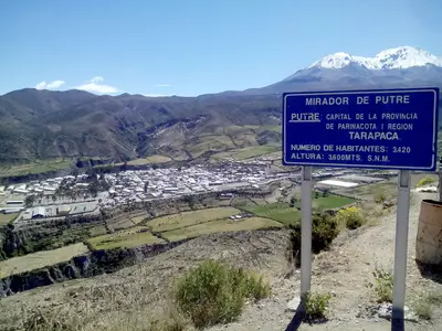
    Putre is located at around 3,500 meters altitude on Ruta 11 and is the main town of Parinacota Province. This Aymara village, with its colonial church and old cultivation terraces, is the usual stop for acclimatization before Lauca National Park.
    Salar de Surire

    Salar de Surire

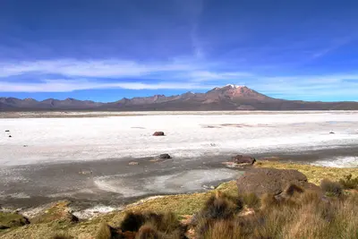
    The Salar de Surire lies at around 4,200 meters, south of Lauca National Park. The white salt flat with its shallow lagoons is a breeding ground for three flamingo species and has been protected as a Ramsar wetland since 1996.
    Arica

    Arica

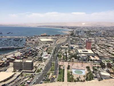
    Arica is Chile's northernmost major city, just 20 kilometers from the Peruvian border. The port city at the foot of the Morro is known for its mild climate, its beaches, and the Chinchorro mummies, and serves as a starting point for ascending into the Altiplano.
    Norte Grande (Altiplano)

    Norte Grande (Altiplano)

    Chile's far north connects the coastal cities of Arica and Iquique with the Altiplano in Arica y Parinacota and Tarapacá. Between the Pacific and the Bolivian border, the land rises from the desert to over 4,500 meters, with volcanoes, highland lagoons, Aymara villages, and the traces of the Saltpeter Era.
    Iquique

    Iquique

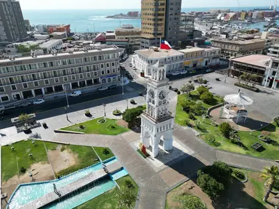
    Iquique is the capital of the Tarapacá Region and lies on a narrow coastal strip beneath a steep desert escarpment. Wooden houses from the saltpeter era, long beaches, and the Zofri Free Trade Zone characterize the city, which is also the starting point for Humberstone and the oases of the Pampa.

    Sources & method

    • Photos: Wikimedia Commons. Each photo carries its credit.
    • The content is based on web research from public, traceable sources. How the content is made · The role of AI