Chile
Putre
TownCulture
Putre is located at around 3,500 meters altitude on Ruta 11 and is the main town of Parinacota Province.
by Felix Gillen
Putre is located at around 3,500 meters altitude on Ruta 11 and is the main town of Parinacota Province. This Aymara village, with its colonial church and old cultivation terraces, is the usual stop for acclimatization before Lauca National Park.
Sehenswürdigkeiten
Discover the most important sights and attractions
Termas de Jurasi
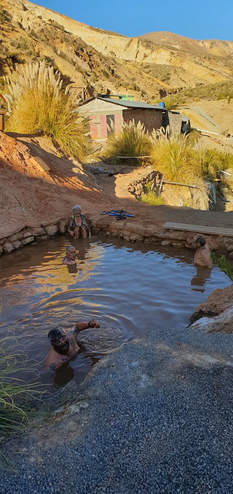
The thermal springs lie about 14 kilometers from Putre, at roughly 4,000 meters altitude. They feature outdoor pools and healing mud areas. Hikes to the springs are also offered from Putre.
Church of Saint Ildefonsus of Putre
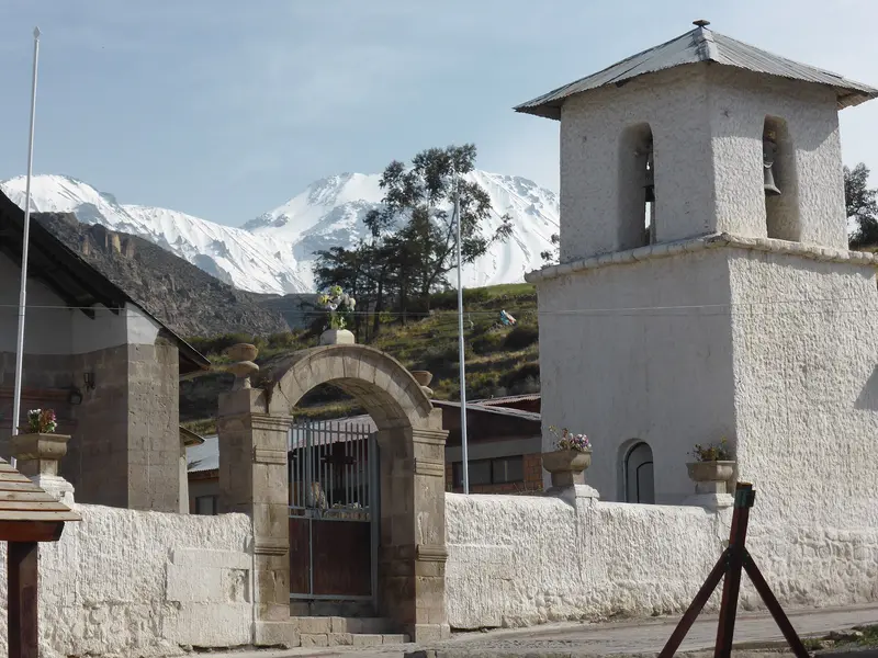
Erected in 1670, the adobe and stone church on the main square became a National Monument in 2015. Its bell tower, atrium, and cemetery wall make it a typical example of Mestizo Baroque of Altiplano churches.
Socoroma
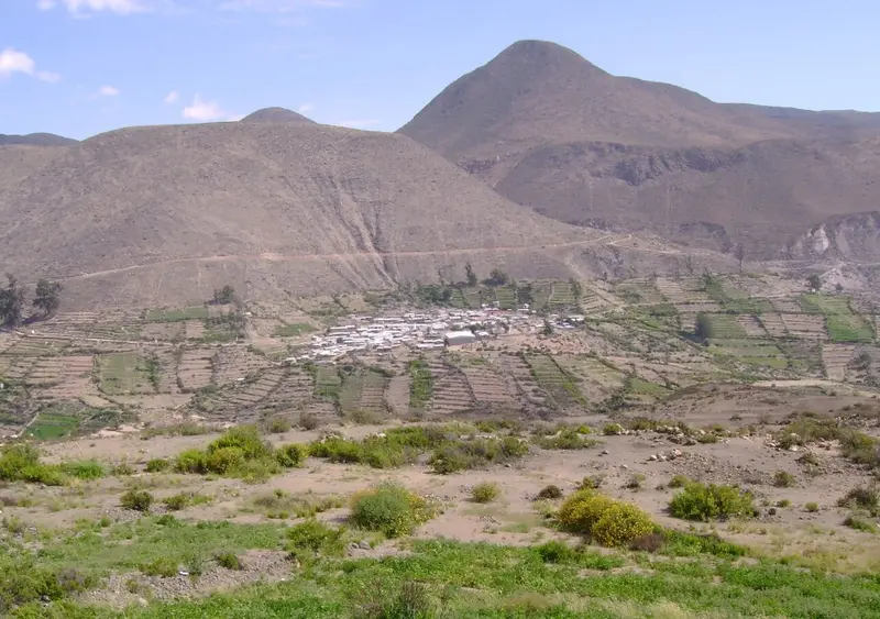
The small Andean village is located on Ruta 11, approximately 120 kilometers and about two and a half hours' drive from Arica. At its heart stands the Church of San Francisco de Asís, which was built in the 17th century from adobe and stone.
Mirador de Putre
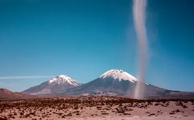
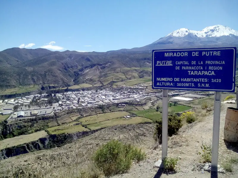
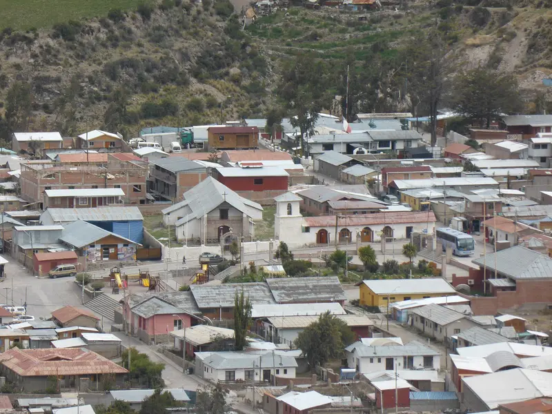
From the viewpoint on the southern edge of town, you look out over Putre and the surrounding oregano fields. Behind, the Nevados de Putre and Taapaca Volcano rise. This stop is perfect for adjusting to the roughly 3,500-meter altitude.
Essen & Trinken
Little restaurant on Calle Teniente del Campo in Putre's town center.
Restaurant on Calle Arturo Pérez Canto in the town center of Putre.
Restaurant of Hostal La Paloma on Avenida O'Higgins in the town center of Putre.
Restaurant on the corner of Cochrane and Prat in the town center of Putre, a few steps from the Plaza.
Eating and Drinking in Putre
The cuisine in Putre is simple and nutritious, based on Aymara agricultural and livestock products.
Oregano from Putre
The oregano from the Precordillera of Putre is registered with the Chilean Patent Office INAPI as a geographical indication. The locals call the fields around the town “green gold”.
Charqui and Chuño
Charqui is dried meat, Chuño are potatoes dried by frost and sun. Both are among the traditional provisions of Andean cuisine.
Calapurca
This thick stew from the Andean region, made with meat, corn, potatoes, and onions, is traditionally cooked by placing hot volcanic stones into the pot. Its name combines the Quechua words for stone and pot.
Aymara Culture and Colonial Heritage
For centuries, Putre has been a center for the Aymara, who keep llamas and alpacas in the highlands between the Pacific and Lake Titicaca, cultivating potatoes, corn, and oregano on terraces. The terraces around the village date back to pre-Hispanic times and are still cultivated today.With the Spanish in the 17th century came churches made of adobe and stone. The Iglesia de San Ildefonso, built in 1670, is one of the Altiplano churches that Chile has placed on its tentative list for UNESCO World Heritage. Its style combines Catholic iconography with Andean motifs; experts refer to it as Mestizo Baroque. To this day, the community organizes festivals and church affairs through traditional offices such as the Mayordomo.FestivalsThroughout the year, patron saint festivals, processions, and carnival shape village life. On these occasions, groups in traditional attire dance to the music of brass and pan flute ensembles. Rituals for Pachamama, Mother Earth, are also part of daily life, such as before sowing.
Trips in and around Putre
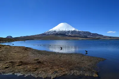
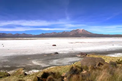
Getting TherePutre is located on Ruta 11, which leads from Arica through the Lluta Valley into the Altiplano and on to the Bolivian border. Small buses connect Arica with Putre several times a week; schedules change frequently. Most travelers arrive by rental car or as part of a tour.Local InformationThe village itself is small; all guesthouses, restaurants, and the Plaza are within walking distance.Altitude: Take it easy for the first few hours, drink plenty of water, and avoid alcohol on your first evening.Fuel and Money: Supplies are limited. Fill up in Arica and bring sufficient cash.National Park: The paved Ruta 11 leads to Lago Chungará and Parinacota, while only unpaved roads go to Salar de Surire, for which a high-clearance vehicle is advisable.Tours: Local providers in Putre offer day trips to Parque Nacional Lauca and Salar de Surire.
Accommodations in Putre
Find perfect stay in Putre
Booking.com* (Affiliate link)
Search Hotels
Agoda* (Affiliate link)
Search Hotels
Airbnb
Vacation Rentals
* Affiliate link: if you book through it, we earn a small commission. The price stays the same for you.