Fernweh: Home
    ExploreTravel GuidesPlan a tripMy tripLast visited
    de|en
    All Places & RegionsAll highlightsAbout FernwehFAQPrivacy PolicyImprint
    ExploreTravel GuidesPlan a tripMy tripLast visited
    Salar de Surire
    Bachelot Pierre J-P / Wikimedia Commons / CC BY-SA 3.0

    Chile

    Salar de Surire

    Natural AreaNature

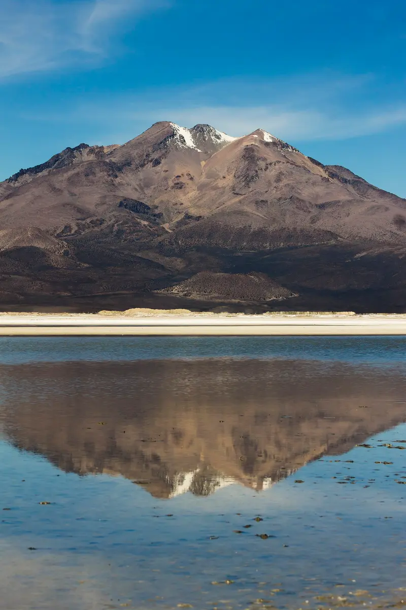
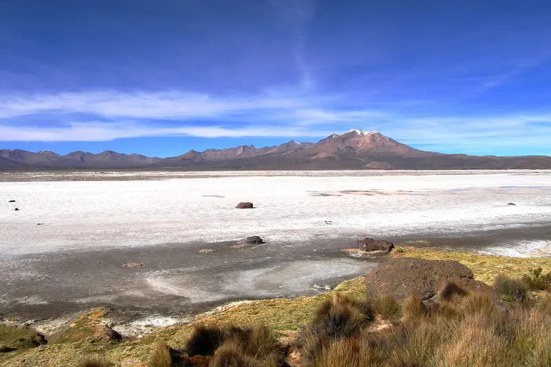
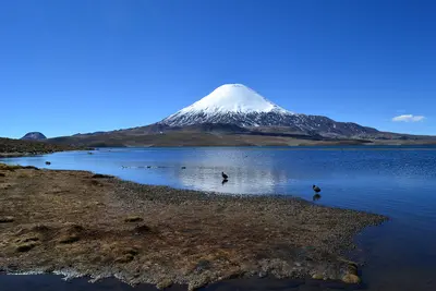
    The Salar de Surire lies at around 4,200 meters, south of Lauca National Park. The white salt flat with its shallow lagoons is a breeding ground for three flamingo species and has been protected as a Ramsar wetland since 1996.

    by Felix Gillen

    1. Home
    2. Destinations
    3. Chile
    4. Norte Grande (Altiplano)
    5. Salar de Surire
    The Salar de Surire lies at around 4,200 meters, south of Lauca National Park. The white salt flat with its shallow lagoons is a breeding ground for three flamingo species and has been protected as a Ramsar wetland since 1996.

    Sehenswürdigkeiten

    Discover the most important sights and attractions
    Church of Mulluri

    1Church of Mulluri

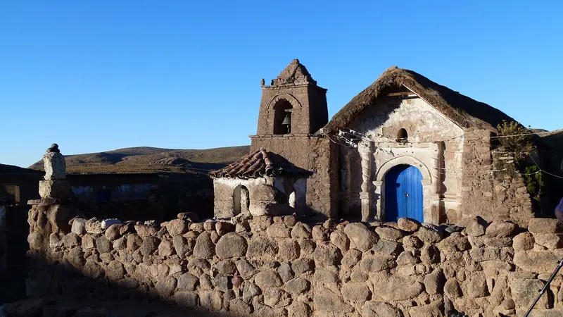
    Small church in the remote hamlet of Mulluri southwest of the Salar de Surire.
    Open in Google Maps
    Termas de Polloquere

    2Termas de Polloquere

    At over 4,000 meters, the hot springs on Salar de Surire's eastern edge feed natural pools, steaming on cold mornings. Water emerges at over 60 degrees; it's more pleasant for bathing in the pools. Enter slowly and stay briefly due to heat and altitude. Facilities are basic.
    Open in Google Maps
    Monumento Natural Salar de Surire

    3Monumento Natural Salar de Surire

    The reserve spans ~159 sq km of salt pan & shallow lagoons at ~4,200m. Chilean, Andean & James's Flamingos nest here; vicuñas are often seen. Since 1996, it's protected under the Ramsar Convention.
    Open in Google Maps

    Restaurants in Salar de Surire

    Life on Salar

    Around the Salar de Surire, only a few Aymara families live, grazing llamas and alpacas on the bofedales at the edge of the salt flat. Hamlets like Surire, Guallatire, and Mulluri have small churches where the often scattered families gather for patron saint festivals.Since the 20th century, borax mining has also shaped the area. The mine is located within the salar, which repeatedly leads to conflicts with nature conservation, as the lagoons are important for flamingo breeding.On-Site ConductKeep distance from flamingo colonies and do not step on the salt crusts.Take your waste with you; there is no disposal.Ask before photographing shepherds or their herds.

    Directions to Salar de Surire

    From Arica and PutreFrom Arica, the journey is about 170 kilometers and takes approximately four hours. Drive on Ruta 11 via Putre to Parque Nacional Lauca, then turn onto track A-235, which leads south via Guallatire to the Salar. The track is unpaved and its condition varies with the weather.PracticalitiesVehicle: An off-road vehicle is recommended; if possible, carry two spare tires.Supplies: There are no gas stations or stores en route. Fill your tank in Arica and bring water and provisions for the whole day.Altitude: The Salar is over 4,200 meters. Acclimatize beforehand in Putre and consult a doctor before your trip.Tours: Operators in Putre and Arica offer one- to multi-day tours, often combined with Parque Nacional Lauca.Onward Journey: The tracks continue south into the Altiplano of Tarapacá towards Parque Nacional Volcán Isluga. Check conditions with CONAF in advance.Rainy Season: From December to March, rain and snow can make tracks impassable.

    Accommodations in Salar de Surire

    Find perfect stay in Salar de Surire

    Booking.com* (Affiliate link)
    Search Hotels
    Agoda* (Affiliate link)
    Search Hotels
    Airbnb
    Vacation Rentals

    * Affiliate link: if you book through it, we earn a small commission. The price stays the same for you.
    Nearby

    Norte Grande (Altiplano)

    Norte Grande (Altiplano)

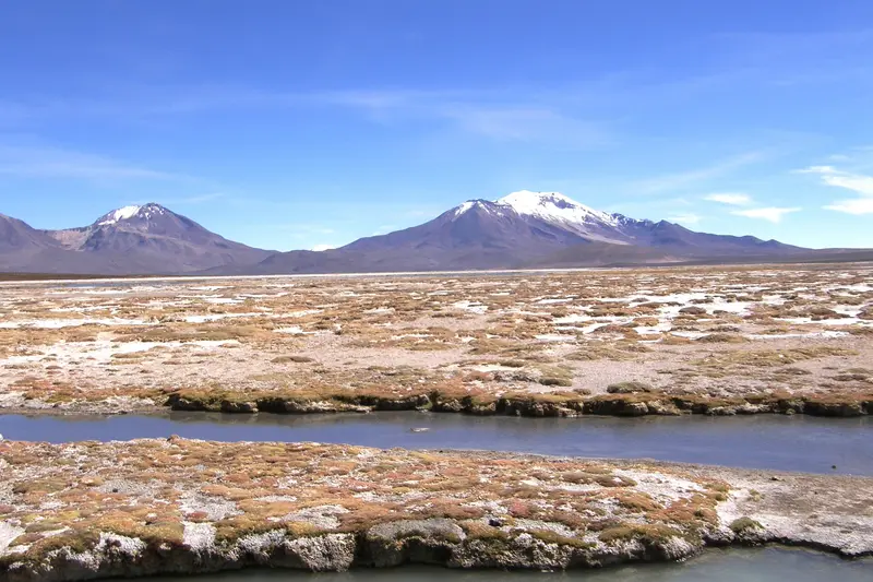
    Chile's far north connects the coastal cities of Arica and Iquique with the Altiplano in Arica y Parinacota and Tarapacá. Between the Pacific and the Bolivian border, the land rises from the desert to over 4,500 meters, with volcanoes, highland lagoons, Aymara villages, and the traces of the Saltpeter Era.
    Parque Nacional Lauca

    Parque Nacional Lauca

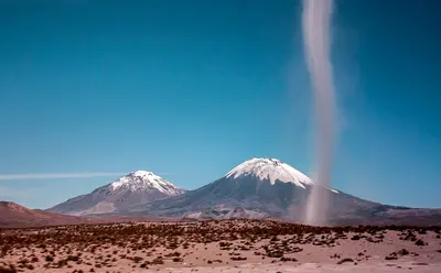
    The National Park protects approximately 1,379 square kilometers of Altiplano between Putre and the Bolivian border. Established in 1965 as a forest reserve, it became a National Park in 1970 and has been part of the UNESCO Lauca Biosphere Reserve since 1981. Volcanoes, Lago Chungará, wet highland meadows, and Aymara villages like Parinacota shape the landscape at elevations between about 3,200 and 6,342 meters.
    Putre

    Putre

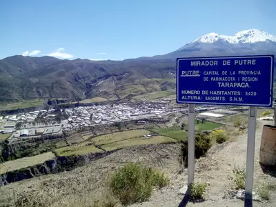
    Putre is located at around 3,500 meters altitude on Ruta 11 and is the main town of Parinacota Province. This Aymara village, with its colonial church and old cultivation terraces, is the usual stop for acclimatization before Lauca National Park.
    Arica

    Arica

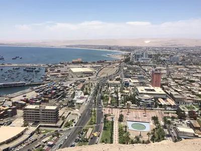
    Arica is Chile's northernmost major city, just 20 kilometers from the Peruvian border. The port city at the foot of the Morro is known for its mild climate, its beaches, and the Chinchorro mummies, and serves as a starting point for ascending into the Altiplano.
    Iquique

    Iquique

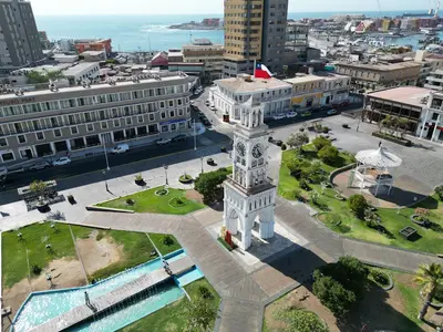
    Iquique is the capital of the Tarapacá Region and lies on a narrow coastal strip beneath a steep desert escarpment. Wooden houses from the saltpeter era, long beaches, and the Zofri Free Trade Zone characterize the city, which is also the starting point for Humberstone and the oases of the Pampa.

    Sources & method

    • Photos: Wikimedia Commons. Each photo carries its credit.
    • Place data such as addresses and ratings comes from Google Maps.
    • The content is based on web research from public, traceable sources. How the content is made · The role of AI