Fernweh: Home
    ExploreTravel GuidesPlan a tripMy tripLast visited
    de|en
    All Places & RegionsAll highlightsAbout FernwehFAQPrivacy PolicyImprint
    ExploreTravel GuidesPlan a tripMy tripLast visited
    Ordesa y Monte Perdido National Park

    Spain

    Ordesa y Monte Perdido National Park

    National Park

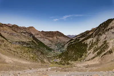
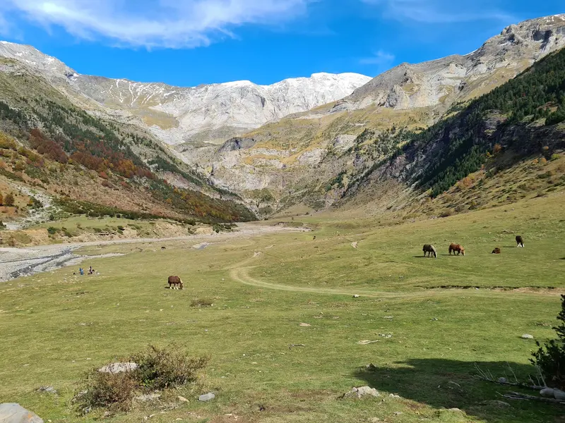
    The National Park is a UNESCO World Heritage site and is known for its glacier-formed U-shaped valleys, deep gorges, steep rock faces, and Monte Perdido, ideal for hikers and nature lovers.

    by Felix Gillen

    1. Home
    2. Destinations
    3. Spain
    4. Spanish Pyrenees
    5. Ordesa y Monte Perdido National Park
    The National Park is a UNESCO World Heritage site and is known for its glacier-formed U-shaped valleys, deep gorges, steep rock faces, and Monte Perdido, ideal for hikers and nature lovers.

    Sehenswürdigkeiten

    Discover the most important sights and attractions

    Llanos and Cascada de La Larri

    1Llanos and Cascada de La Larri

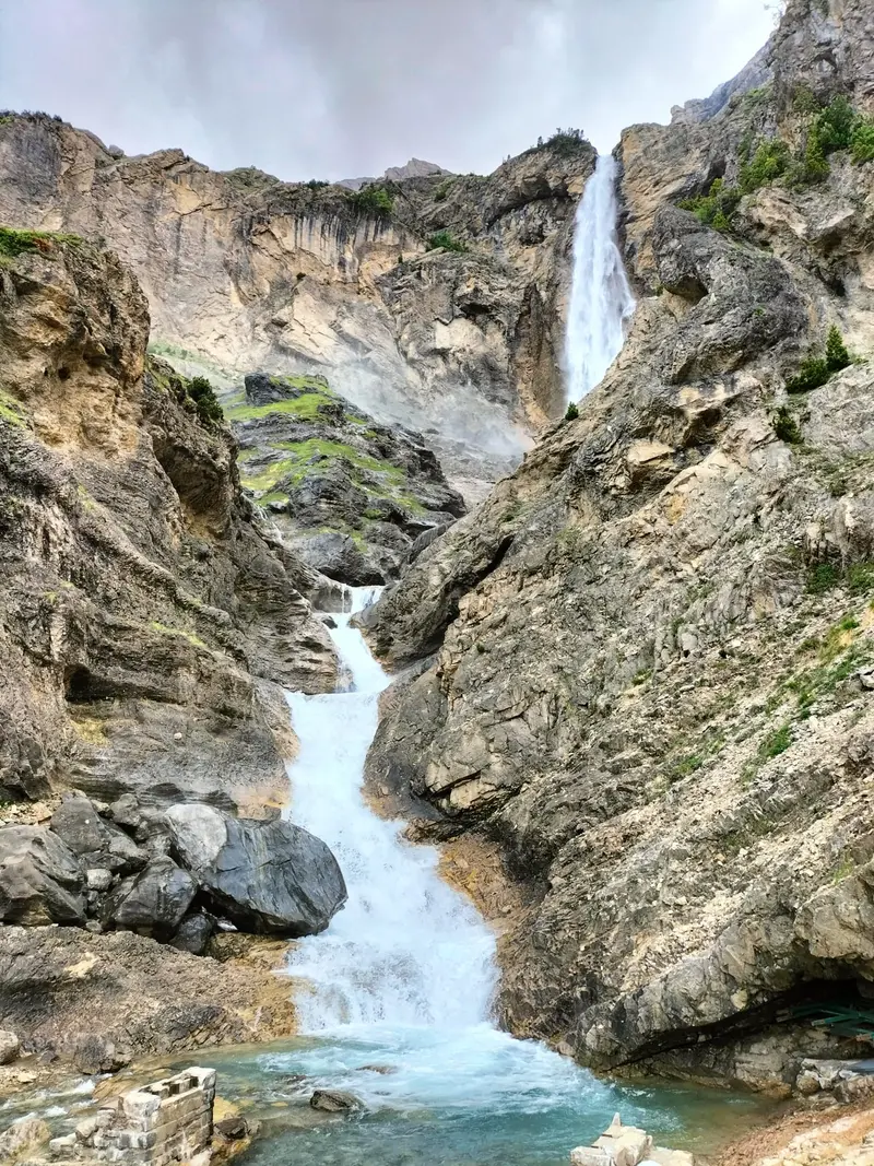
    In La Larri side valley above Pineta Valley, the stream cascades through the forest in stages, rocks are reddish from iron oxide. The waterfall, at approx. 1,480 m, connects with the Cinca Waterfalls for a round trip of about 7 km and 500 m elevation.
    Open in Google Maps
    Cascada del Cinca

    2Cascada del Cinca

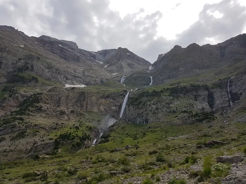
    In the Pineta Valley, the young Cinca, originating at the Marboré Glacier, plunges about 200 m in several stages. The path from the parking lot just before the Parador de Pineta at 1,279 m reaches the waterfall at about 1,690 m in just under two hours.
    Open in Google Maps
    Balcony of Pineta

    3Balcony of Pineta

    The viewing terrace lies above the Cinca Waterfalls at the head of the Pineta valley, overlooking the Monte Perdido Massif. The path up branches off the hiking trail to the waterfalls at around 1,628 m.
    Open in Google Maps
    Ordesa Valley: Gradas de Soaso and Cola de Caballo
    Park

    4Ordesa Valley: Gradas de Soaso and Cola de Caballo

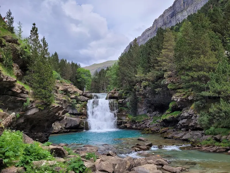
    This classic National Park route leads from the Pradera de Ordesa along the Río Arazas, past waterfalls and through beech forest, all the way to the Circo de Soaso with the Cola de Caballo waterfall and views of Monte Perdido. The round trip is approx. 17.5 km with 550 m of elevation gain; allow about six hours. During high season, a bus runs from Torla to the Pradera.
    Open in Google Maps
    Cañón de Añisclo and Ermita de San Úrbez
    Church

    5Cañón de Añisclo and Ermita de San Úrbez

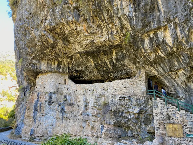
    In the south of the National Park, the Río Bellós carved the deep Añisclo gorge, also home to the park's deepest point at around 700 m. From the San Úrbez car park, an approximately 45-minute circular trail leads to the San Úrbez rock chapel, the Cascada de Aso waterfall, and the remains of an old mill.
    Open in Google Maps

    Essen & Trinken

    1

    Refugio de Góriz - Ordesa (2200 m)

    Restaurant in Parque Nacional de Ordesa y Monte Perdido.
    Show on Google Maps

    Accommodations in Ordesa y Monte Perdido National Park

    Find perfect stay in Ordesa y Monte Perdido National Park

    Booking.com* (Affiliate link)
    Search Hotels
    Agoda* (Affiliate link)
    Search Hotels
    Airbnb
    Vacation Rentals

    * Affiliate link: if you book through it, we earn a small commission. The price stays the same for you.

    Campgrounds in Ordesa y Monte Perdido National Park

    Find perfect campground in Ordesa y Monte Perdido National Park

    Search via Google Maps
    Campgrounds nearby (15km)
    Camping.info
    Find Campgrounds
    Park4Night
    RV Parks & Camping

    Nearby

    Aínsa

    Aínsa

    Discover Aínsa, a breathtaking medieval fortress majestically perched on a hill in the heart of the Spanish Pyrenees. This historic-artistic gem transports you on an unforgettable journey through time with its cobblestone streets, the imposing castle, and the charming Plaza Mayor. Here, where history meets spectacular nature, you'll feel the spirit of bygone eras and the warm hospitality of the Aragon region.
    Pyrenees National Park

    Pyrenees National Park

    The Parc National des Pyrénées stretches for about 100 kilometers along the Spanish border, from the Aspe Valley in the west to the Aure Valley in the east, yet in many places, it is only a few kilometers wide. The core zone lies in the high mountains and reaches up to 3,298 meters at the Pique Longue du Vignemale. Within this narrow strip are the Cirque de Gavarnie, the Pont d'Espagne, and the Pic du Midi d'Ossau.
    Valle de Benasque

    Valle de Benasque

    The valley is often referred to as the "Heart of the Pyrenees" and is surrounded by the highest peaks of the mountain range, including Aneto. It is an important destination for mountaineers and hikers.
    Jaca

    Jaca

    Jaca, the first capital of the Kingdom of Aragón until 1096, is nestled in the Pyrenees, blending history with mountain charm. Its striking landmark is the five-sided *Citadel*, built in the late 16th century under Philip II. The **Cathedral of San Pedro**, begun in the last quarter of the 11th century and one of Spain's oldest Romanesque buildings, attests to Jaca's position on the Aragonese *Camino de Santiago*. In its cloister, the Diocesan Museum displays Romanesque murals from surrounding churches. Discover the old town with its alleys and enjoy the local cuisine in traditional establishments. Jaca serves as an excellent base for hiking and winter sports in the surrounding mountains; visit the city ideally in spring or autumn for a relaxed exploration.
    Sierra and Canyons of Guara

    Sierra and Canyons of Guara

    The Natural Park in the Huesca province is Aragon's largest protected area and known for its limestone canyons, which attract thousands of canyoning enthusiasts every year. Additionally, there are hiking trails, for example to the 2,077-meter-high Tozal de Guara, as well as good opportunities for observing birds of prey. In the Río Vero valley, there are also rock paintings that are part of the UNESCO World Heritage.

    Sources & method

    • Photos: Unsplash, Google Maps. Each photo carries its credit.
    • Place data such as addresses and ratings comes from Google Maps.
    • The content is based on web research from public, traceable sources. How the content is made · The role of AI