Fernweh: Home
    ExploreTravel GuidesPlan a tripMy tripLast visited
    de|en
    All Places & RegionsAll highlightsAbout FernwehFAQPrivacy PolicyImprint
    ExploreTravel GuidesPlan a tripMy tripLast visited
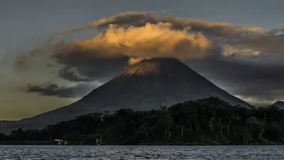
    Rincón de la Vieja National Park
    Kobold66 / Wikimedia Commons / CC BY-SA 3.0

    Costa Rica

    Rincón de la Vieja National Park

    Point of Interest

    Rincón de la Vieja National Park protects its namesake volcanic massif in Guanacaste, about 25 kilometers northeast of Liberia. You come here to hike through tropical forest among fumaroles, bubbling mud pots, and waterfalls.

    by Felix Gillen

    1. Home
    2. Destinations
    3. Costa Rica
    4. Guanacaste
    5. Rincón de la Vieja National Park
    Rincón de la Vieja National Park protects its namesake volcanic massif in Guanacaste, about 25 kilometers northeast of Liberia. You come here to hike through tropical forest among fumaroles, bubbling mud pots, and waterfalls.Established in 1973, the 141 sq km park is a UNESCO World Heritage site (Area de Conservación Guanacaste). The volcano is active: repeated minor eruptions occurred in Aug/Sept 2026; early Sept. saw the national emergency agency CNE issue a green alert for surrounding districts. The hiking trail to the crater has been closed for years.Most visitors enter via the Las Pailas sector. A roughly three-kilometer loop trail here passes fumaroles, a steaming lagoon, and mud pots; longer trails lead to La Cangreja and Escondida waterfalls. The quieter Santa María sector further north is only accessible by 4x4 vehicles.The park closes Mondays. Entrance fees and current access rules are published by protected area authority SINAC. Volcanic activity may restrict access short-term; check the current status before visiting and heed foreign office advisories.

    Sights in Rincón de la Vieja National Park

    Discover the most important sights and attractions

    Catarata La Cangreja
    Natural Feature

    1Catarata La Cangreja

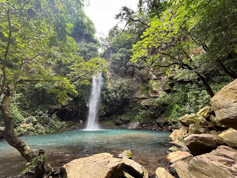
    The waterfall is located on the longer waterfall trail in the Las Pailas sector; the round trip takes about five hours and requires some fitness. For this trail, there's an early last entry time at midday, so start in the morning. Take plenty of water with you; there are no supplies along the way.
    Open in Google Maps
    Las Pailas Loop Trail
    Attraction

    2Las Pailas Loop Trail

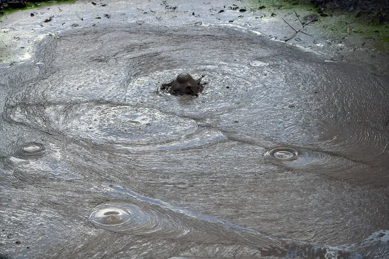
    The approximately three-kilometer-long circular trail starts at the entrance of the Las Pailas sector and takes two to three hours to walk. In an open area, you'll pass fumaroles, a steaming lagoon, and grey mud pots; the forest section features additional steam vents and a seasonal waterfall. Stay on the path; the thermal fields are very hot.
    Open in Google Maps
    Waterfall Oropéndola
    Natural Feature

    3Waterfall Oropéndola

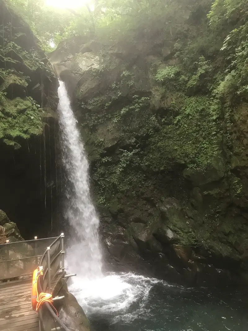
    The waterfall can be reached in about 15 minutes from the Las Pailas entrance, making it the shortest waterfall hike in the park. At its base is a pool where swimming is possible. This short path is well-suited as an addition to the Las Pailas loop trail.
    Open in Google Maps
    Catarata Escondida
    Natural Feature

    4Catarata Escondida

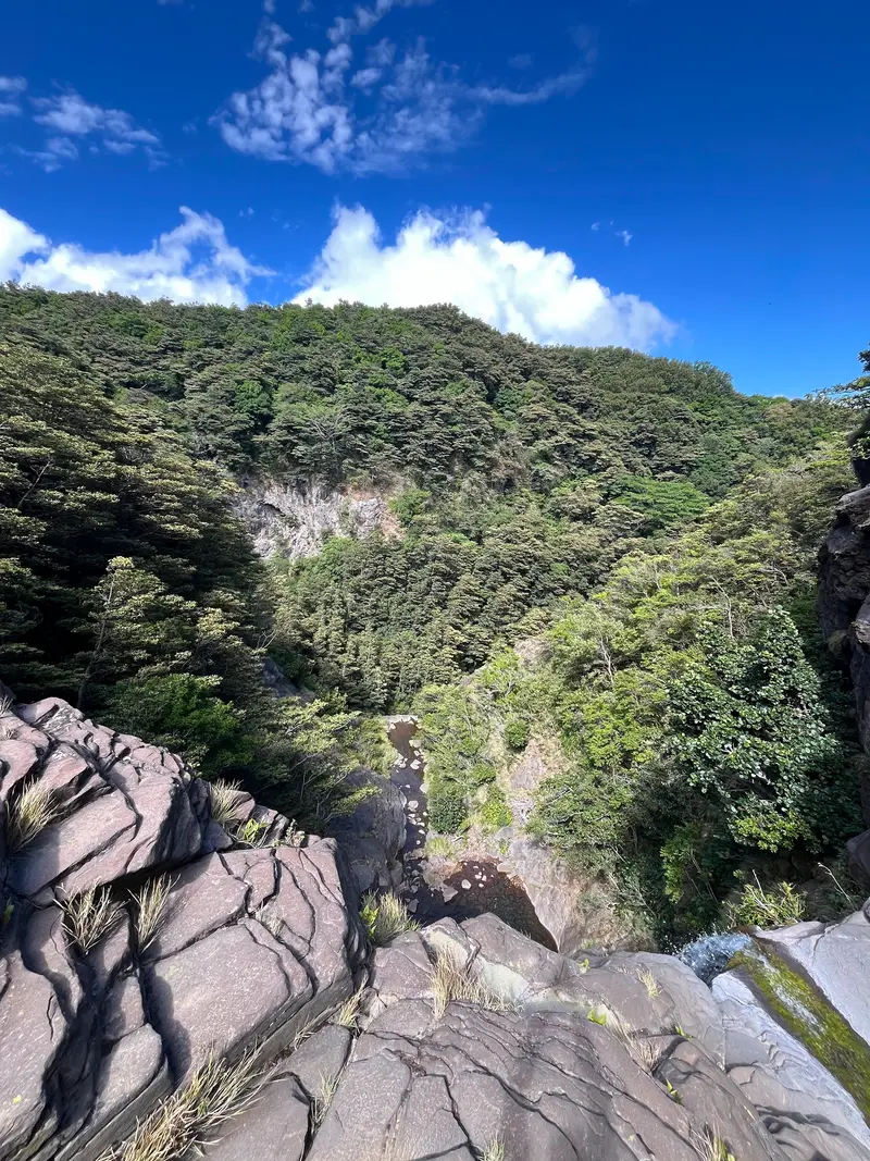
    The second waterfall on the Waterfall Trail of the Las Pailas sector can be combined with Catarata La Cangreja to create a long day hike. Together, they form a challenging tour through dry and gallery forest. Allow enough time to be back before the park closes.
    Open in Google Maps

    Restaurants in Rincón de la Vieja National Park

    Nature and History

    An Active VolcanoRincón de la Vieja is considered an active volcano; in August and September 2026, Costa Rican media repeatedly reported minor eruptions from the crater. Its heat feeds fumaroles, mud pots, and hot springs on its flanks; a fumarole lagoon on the Las Pailas trail reaches over 90°C. Several adventure centers outside the park offer thermal baths.Part of a World Heritage SiteThe park was founded on October 23, 1973, and is part of the Area de Conservación Guanacaste, which is recognized by UNESCO as a World Heritage site. Visitor facilities are at the Las Pailas and Santa María stations, both on the south side of the massif.

    Getting There and Around

    Getting ThereFrom Liberia, drive north on the Interamericana towards the Las Pailas sector, then turn off towards Curubandé; the drive takes about an hour, with the final few kilometers unpaved. Public buses do not reach the entrance; most visitors arrive by rental car or a tour from Liberia.Inside the ParkStart early, as it gets hot during the day and there's an early last entry time for the waterfall trails. There's no drinking water along the trails, so bring plenty. Stay on the marked trails; the fumaroles and mud pots are very hot.

    Accommodations in Rincón de la Vieja National Park

    Find perfect stay in Rincón de la Vieja National Park

    Booking.com* (Affiliate link)
    Search Hotels
    Agoda* (Affiliate link)
    Search Hotels
    Airbnb
    Vacation Rentals

    * Affiliate link: if you book through it, we earn a small commission. The price stays the same for you.

    Nearby

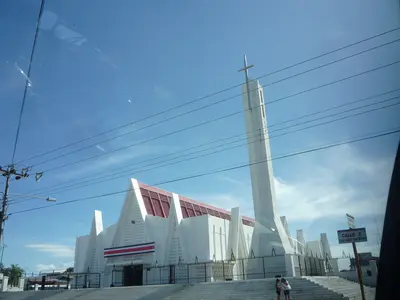
    Liberia

    Liberia

    Liberia, the capital of Guanacaste province, lies about 215 kilometers northwest of San José on the Interamericana. Most visitors arrive via Daniel Oduber Quirós International Airport, using the city as a base for exploring Pacific coast beaches and Rincón de la Vieja National Park.Liberia earned its nickname "White City" from the light gravel that once paved its streets and the whitewashed colonial houses. Some of these, along with the 19th-century Ermita de la Agonía, are preserved in the city center.With over 50,000 inhabitants, the city serves as a commercial and administrative hub, not a resort. Around Parque Central, you'll find banks, supermarkets, and simple restaurants, making Liberia a practical stopover before or after onward travel.If you don't head straight to the coast after landing, half a day is enough for a stroll through the center. For Rincón de la Vieja, the city is a good base; access to the Las Pailas sector takes about an hour.

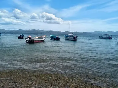
    Guanacaste

    Guanacaste

    Guanacaste is Costa Rica's dry northwestern province on the Pacific coast, approximately 215 kilometers northwest of San José. You come here for the beaches of the Pacific coast, for volcanic landscapes like the Rincón de la Vieja, and for the light blue Río Celeste.From November to April, there's hardly any rain here, which makes Guanacaste the country's most reliable beach destination during this time; from May to October, it usually rains daily. The landscape is characterized by pastureland, dry forest, and volcanic ranges; the Area de Conservación Guanacaste in the north is a UNESCO World Heritage site.The capital is Liberia, home to the country's second international airport, the Aeropuerto Daniel Oduber Quirós. From there, you can reach the beaches around Tamarindo as quickly as the national parks inland.
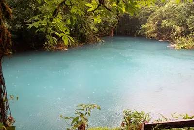
    Río Celeste

    Río Celeste

    The Río Celeste is a glowing light blue river in the Tenorio Volcano National Park in Guanacaste, near the town of Bijagua de Upala in the north of the country. You come here for its turquoise waterfall and the spot where two clear rivers mix and the water suddenly turns blue.The color appears when the volcanically influenced Río Buenavista meets the acidic Quebrada Agria: Tiny aluminum silicate particles clump together and scatter sunlight. After heavy rains, the water is murkier and less blue.The Misterios del Tenorio hiking trail starts at El Pilón Station and leads to a viewpoint, Laguna Azul, the Borbollones where gas bubbles from the riverbed, and the Teñideros where the rivers meet. The stairs to the waterfall were only partially open from mid-2025 after damage; check before visiting which sections are open.Swimming is prohibited in the National Park. Tickets are booked online through the protected area authority SINAC, and entry is granted in time slots; in case of bad weather, the park may close at short notice.
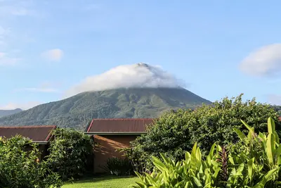
    Arenal Volcano National Park

    Arenal Volcano National Park

    Arenal Volcano National Park protects the roughly 1,630-meter-high cone of Arenal and its forested flanks in the Arenal and Monteverde region, about 30 minutes drive west of La Fortuna. You come here to hike across solidified lava fields and see the volcano up close.Arenal erupted unexpectedly on July 29, 1968, burying the villages of Tabacón, Pueblo Nuevo, and San Luís and claiming dozens of lives. It remained continuously active until 2010, and has been dormant since. The park was established in 1991 and covers approximately 121 square kilometers.Visitors can access two sectors. In the Volcán sector, near the visitor center, short, mostly flat trails like Las Coladas (approx. 2 km) lead over lava flows from the 1992 eruption, while El Ceibo (approx. 3 km) goes through secondary forest. The Península sector is a few minutes' drive away on Lake Arenal and offers views of the lake and volcano via the Los Miradores trail and an observation tower.The summit itself is closed to visitors; the national protected area authority SINAC explicitly warns against illegal summit hikes. Admission is charged at the sectors, with current prices and opening hours published by SINAC. Come as early as possible, as the summit often becomes cloud-covered as the day progresses.
    Arenal and Monteverde

    Arenal and Monteverde

    Arenal and Monteverde form the green highlands in northwestern Costa Rica, about three to four hours' drive northwest of San José. You travel here for the cone-shaped Arenal Volcano with its hot springs and for the cloud forests of Monteverde, two of the country's most visited natural destinations.Arenal was continuously active from 1968 to 2010; today it is dormant, and around the town of La Fortuna, hiking trails over old lava fields, suspension bridges, a waterfall, and numerous hot springs have developed. Southwest of it, beyond Lake Arenal, lies the Monteverde highlands with its privately and communally managed cloud forest reserves.By road around the lake, the drive between both destinations is longer than the map suggests. Many travelers therefore combine it with a transfer by boat across Lake Arenal.

    Sources & method

    • Photos: Wikimedia Commons, Google Maps. Each photo carries its credit.
    • Place data such as addresses and ratings comes from Google Maps.
    • The content is based on web research from public, traceable sources. How the content is made · The role of AI