Fernweh: Home
ExploreGuideDestinationsMy tripsMy trip
de|en
All Places & RegionsRound tripsNight trains in EuropeAll highlightsAbout FernwehFAQPrivacy PolicyImprint
Download on the App StoreGet it on Google Play
ExploreGuideDestinationsMy tripsMy trip
    • Places in the region
    • Getting around
    • Nearby
    Caribbean

    INTUR Corn Island / Wikimedia Commons / CC BY-SA 4.0, mod.

    Nicaragua

    Caribbean

    Region

    The Caribbean side is rainy, sparsely populated and culturally distinct: many people speak English Creole, alongside Indigenous languages such as Miskito.

    by Felix Gillen

    1. Home
    2. Destinations
    3. Nicaragua
    4. Caribbean
    The Caribbean side is rainy, sparsely populated and culturally distinct: many people speak English Creole, alongside Indigenous languages such as Miskito. For travellers the main draw is the Corn Islands, about 70 km offshore, which you reach from Managua with La Costeña in a little over an hour. For information on boats and safety in the region, see the UK FCDO travel advice.
    Nicaragua travel guideRound trips in NicaraguaPlan a trip with Caribbean

    Contents

    • Places in the region
    • Getting around
    • Nearby
    Corn Islands

    Photo by Roberto Zuniga on Pexels

    Place 1 of 2

    Corn Islands

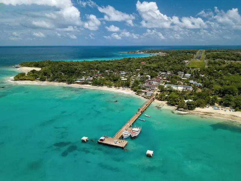
    The Corn Islands are located about 70 km off the Caribbean coast: Great Corn (Big Corn, approx. 10 km²) and the smaller, car-free Little Corn. Travelers come for white sandy beaches, reefs for snorkeling and diving, and the English-speaking Creole culture.

    Discover
    Bluefields and Pearl Lagoon

    Ridiculopathy / Wikimedia Commons / CC0

    Place 2 of 2

    Bluefields and Pearl Lagoon

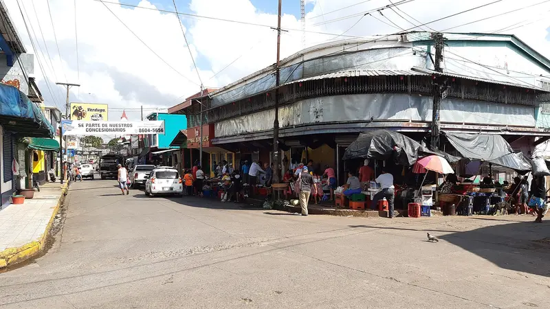
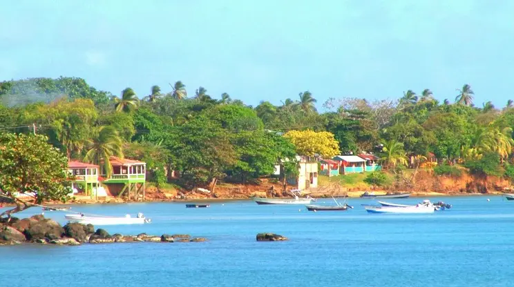
    Bluefields is the capital of the South Caribbean Coast Autonomous Region and lies on a bay at the mouth of the Río Escondido, about 440 km from Managua.

    Discover

    Getting there and around

    Getting ThereLa Costeña flies from Managua to Bluefields and Corn Island; the flight to Corn Island takes a good hour, sometimes with a stopover in Bluefields.Ships operate between Bluefields or El Bluff and Great Corn. Read the UK FCDO travel advice on these boats beforehand.Between the IslandsPangas connect Great Corn and Little Corn twice daily; the crossing takes about 30 minutes and can be rough in choppy seas.Bring enough cash.

    Nearby
    El Castillo

    El Castillo

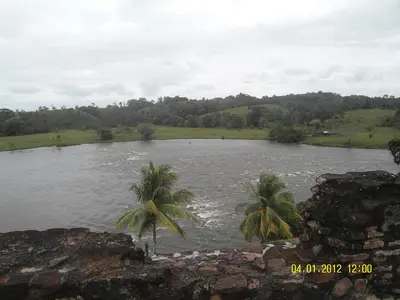
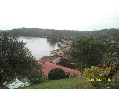
    The river village of El Castillo, on the Río San Juan in southeastern Nicaragua, near the border with Costa Rica, is overlooked by the Spanish fortress Inmaculada Concepción, built from 1673 to 1675 against pirates. Travelers come for the boat trip on the river, the fortress, and the rainforest; the village is only accessible by boat. It is a starting point for tours into the Indio Maíz rainforest reserve.

    Hobbitschuster·CC BY-SA 4.0

    Río San Juan

    Río San Juan

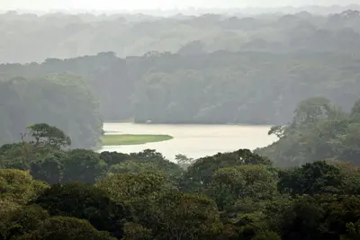
    The Río San Juan flows from Lake Nicaragua to the Caribbean and for long stretches forms the border with Costa Rica. The starting point is San Carlos on the south-eastern shore of the lake, from where boats run to the Spanish fortress of El Castillo and to the Solentiname archipelago with its well-known school of painters. The area is remote and has hardly any roads, so allow plenty of time and cash. For safety information on Río San Juan department, see the UK FCDO travel advice.

    Hobbitschuster·CC BY-SA 4.0

    Tortuguero

    Tortuguero

    Tortuguero is a national park and a small village on Costa Rica's northern Caribbean coast, accessible only by boat or small plane. You come here for boat tours through a network of rainforest canals and lagoons, and for the sea turtles that lay their eggs on the beaches.The national park was founded in 1975 and covers approximately 312 square kilometers. On its beaches, Green Sea Turtles, Leatherback Sea Turtles, Hawksbill Sea Turtles, and Loggerhead Sea Turtles nest. The Green Sea Turtle is the most common and arrives from July to October, peaking in September and October; Leatherback Turtles nest less frequently and from March to May.The village, with around 1,200 inhabitants, is located on a narrow strip of land between the Caribbean and the canal. A car-free path connects the boat dock with the ranger station at the south end of the village. At the north end, the Sea Turtle Conservancy, which began its research in Tortuguero in 1959, operates a small visitor center with a museum.The park is best experienced via its waterways. Guided canoe or boat tours show you monkeys, sloths, birds, and caimans, which you often miss on your own; you can also rent kayaks yourself. On land, there are only a few, often muddy paths. Admission for foreign visitors costs 15 US dollars and is purchased online from SINAC; the ticket is valid for land and water trails.Turtle observation on the beach is only permitted at night with a certified guide. Cameras and white light are prohibited, and dark clothing is expected. Not far from the village rises the 119-meter-high Cerro Tortuguero, an old volcanic cone with panoramic views over canals and coastline.

    Frank Eiffert·Unsplash

    Sarapiquí

    Sarapiquí

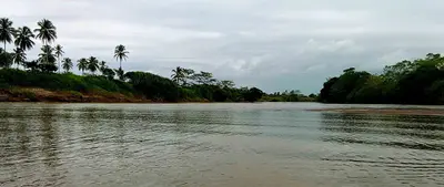
    Sarapiquí is a tropical lowland at the foot of the Cordillera Central, where the Río Sarapiquí and Río Puerto Viejo converge. You come for the rainforest, the La Selva research station, and the rafting tours on the Río Sarapiquí. The area around Puerto Viejo de Sarapiquí is located approximately 80 km northeast of San José.

    Wayne77·CC BY-SA 4.0

    La Fortuna

    La Fortuna

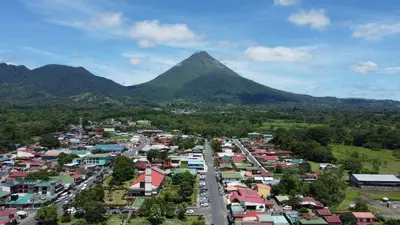
    La Fortuna is the main town at the foot of Arenal Volcano in the Arenal and Monteverde region, about three to three-and-a-half hours' drive northwest of San José. You come here because the Arenal Volcano National Park, the Río Fortuna waterfall, and the surrounding hot springs are all easily accessible from the town.The town was founded in the mid-1930s by settlers from Ciudad Quesada, Grecia, and Alajuela, and was originally called El Burío. It owes its current name to the fertile soil, not, as is often recounted, to the 1968 eruption which hit the villages west of the volcano and spared La Fortuna.The town center spans just a few streets. Most accommodations, restaurants, and tour operators are located along the main road and around Parque Central with its church, behind which the cone of Arenal rises on clear days.The range of activities is wide: horseback riding, rafting, canyoning, ziplines, and hanging bridges are all available, as are the warm springs, which emerge at around 30 to 50 degrees Celsius, including along the Río Tabacón. Plan at least two full days, as the peak region is often shrouded in clouds.

    Pável Tuc·Pexels

    Your next steps

    Caribbean is in Nicaragua. Ways to carry on from here.

    • More in Nicaragua

      Highlights, areas, routes and the best time to travel for all of Nicaragua.

      Nicaragua travel guide
    • Round trips in Nicaragua

      Ready-made routes through Nicaragua, with stops, nights and a map.

      See the routes
    • Plan a trip with Caribbean

      The Guide asks about season, length and who is coming, and suggests a trip with Caribbean.

      Plan the trip

    Sources & method

    • Photos: Wikimedia Commons. Each photo carries its credit.
    • The content is based on web research from public, traceable sources. How the content is made · The role of AI