Fernweh: Home
    ExploreTravel GuidesPlan a tripMy tripLast visited
    de|en
    All Places & RegionsAll highlightsAbout FernwehFAQPrivacy PolicyImprint
    ExploreTravel GuidesPlan a tripMy tripLast visited
    Derinkuyu

    Turkey

    Derinkuyu

    Point of InterestUNESCOCulture

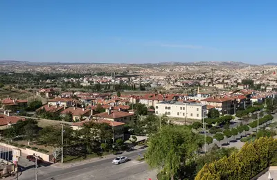
    Derinkuyu is located in southern Cappadocia on the road from Nevşehir to Niğde and is known for its underground city. Its passages, halls, and stables extend approximately 85 meters deep, where up to 20,000 people once found refuge.

    by Felix Gillen

    1. Home
    2. Destinations
    3. Turkey
    4. Cappadocia
    5. Derinkuyu
    Derinkuyu is located in southern Cappadocia on the road from Nevşehir to Niğde and is known for its underground city. Its passages, halls, and stables extend approximately 85 meters deep, where up to 20,000 people once found refuge. A few kilometers north lies the second major underground city, Kaymaklı; both belong to the UNESCO World Heritage Site of Göreme.

    Sights in Derinkuyu

    Discover the most important sights and attractions

    Underground City Derinkuyu
    Historic Landmark

    1Underground City Derinkuyu

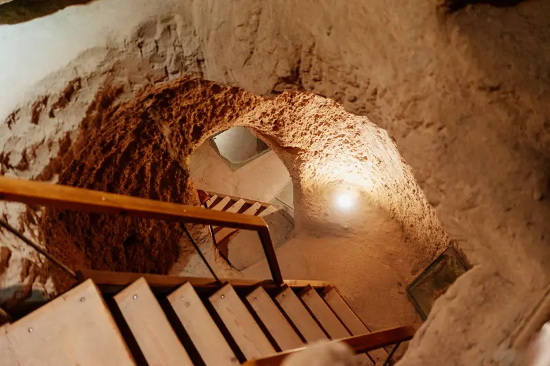
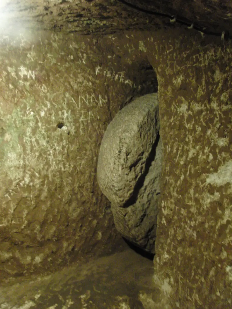
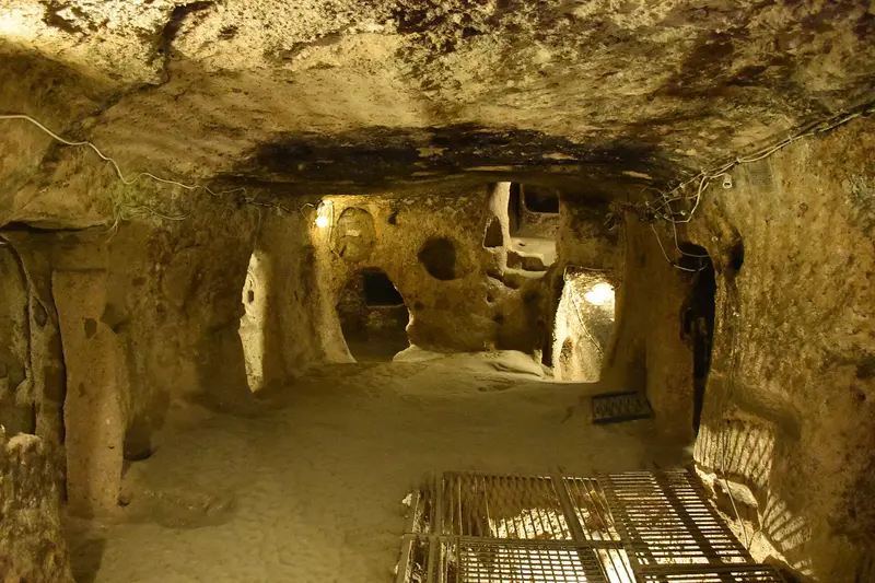
    The complex extends approximately 85 meters deep and offered protection to up to 20,000 people along with their livestock and supplies. It was expanded primarily between approximately 780 and 1180, when residents sought refuge from Arab armies. Rolling rock doors sealed off the individual levels; a church lies on the lowest one. The passages are narrow and low, making a visit difficult for those with claustrophobia.
    Open in Google Maps
    Underground City Kaymaklı

    2Underground City Kaymaklı

    The area's second large underground city is located about ten kilometers north of Derinkuyu, on the road from Nevşehir to Niğde, and has been open to visitors since 1964. The first caves in the soft volcanic rock were probably dug by the Phrygians. In Byzantine times, the complex was significantly expanded and served the Christian population as a refuge during the Arab-Byzantine wars. Tunnels eight to nine kilometers long are said to have connected it with Derinkuyu.
    Open in Google Maps

    Restaurants in Derinkuyu

    1

    Derinkuyu Doyum Restaurant

    Simple place in the town center with affordable Turkish home cooking and kebab, good for a break post-underground city visit.
    Show on Google Maps

    Food & Drink

    Derinkuyu belongs to Nevşehir Province, whose cuisine focuses on clay pots and dried fruits.

    Testi Kebab

    Meat and vegetables cook in the sealed clay pot, which is cracked open at the table.

    Nevşehir Mantısı

    Small dumplings with minced meat, served with garlic yogurt, spicy butter, sumac, and mint.

    Dried Kaymak

    Dried cream from milk heated over a wood fire, usually served with honey.

    Culture & History

    Refuge UndergroundThe complex was primarily expanded between approximately 780 and 1180, during the Arab-Byzantine Wars. The Christian population could hide with livestock and supplies, and seal off each level with rolling stones. An eight to nine-kilometer-long tunnel system connected Derinkuyu with Kaymaklı.RediscoveryIn 1963, a resident broke through a cellar wall during renovation work and discovered a room behind it. Since then, more than 600 entrances have been found, some under private homes.KaymaklıThe underground city of Kaymaklı has been open to visitors since 1964, with four levels accessible. Its passages are lower, narrower, and steeper than in Derinkuyu. On display are a stable, a church with a baptismal font, storage rooms, presses for wine or oil, and an andesite block with 57 hollows where copper was cold-formed.

    Arrival & On the Go

    Getting ThereKaymaklı is located about 19 kilometers south of Nevşehir on the road to Niğde; Derinkuyu is further south on the same route. Many day tours from Göreme combine one of the underground cities with the Ihlara Valley and Selime Monastery.On-siteTight Spaces: The passages are narrow and low, even tighter and steeper in Kaymaklı than in Derinkuyu. Visiting with claustrophobia is difficult.Accessibility: Only a portion of the levels is open; in Kaymaklı, there are four.TipVisit one of the two cities thoroughly rather than rushing through both: The sites are similar; Derinkuyu is deeper, Kaymaklı is more labyrinthine.

    Accommodations in Derinkuyu

    Find perfect stay in Derinkuyu

    Booking.com* (Affiliate link)
    Search Hotels
    Agoda* (Affiliate link)
    Search Hotels
    Airbnb
    Vacation Rentals

    * Affiliate link: if you book through it, we earn a small commission. The price stays the same for you.

    Campgrounds in Derinkuyu

    Find perfect campground in Derinkuyu

    Search via Google Maps
    Campgrounds nearby (15km)
    Camping.info
    Find Campgrounds
    Park4Night
    RV Parks & Camping

    Nearby

    Göreme

    Göreme

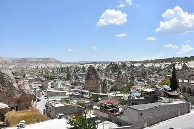
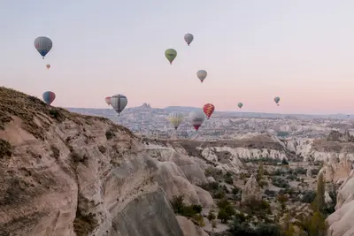
    Göreme is a town with around 2,000 inhabitants in the center of Cappadocia, surrounded by valleys full of fairy chimneys. Here you'll find the open-air museum with its rock-cut churches and hiking trails through Rose, Red, and Love Valley, above which hot-air balloons glide at sunrise. Many old cave houses are now hotels; Uçhisar and Çavuşin can be reached on foot through the valleys.
    Cappadocia

    Cappadocia

    Cappadocia lies in Anatolia's heart, about an hour's flight from Istanbul, on a high plateau over 1,000 meters. Fairy chimneys, rock-cut churches with Byzantine frescoes, and underground cities make it one of Turkey's most famous destinations. Göreme National Park and Cappadocia's Rock Sites are UNESCO World Heritage Sites since 1985.
    Ürgüp

    Ürgüp

    Ürgüp is a small town with just under 25,000 inhabitants in the heart of Cappadocia and is considered the main center for regional viticulture. Ottoman-era stone houses, cave hotels in the rock faces, and the Temenni Wish Hill define the center. At the western entrance to the town stand the Üç Güzeller Fairy Chimneys; a few kilometers south lies the village of Mustafapaşa with its Greek mansions.
    Ihlara Valley

    Ihlara Valley

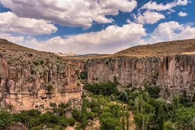
    The Ihlara Valley is a gorge up to 150 metres deep in the southwest of Cappadocia, about an hour and a half by car from Göreme. The Melendiz River carved it into the tuff of the Hasan Dağı volcano, and around 50 rock churches lie in its walls. A hiking trail follows the water for about 14 kilometres from Ihlara via Belisırma to the rock monastery of Selime.
    Hattuşa

    Hattuşa

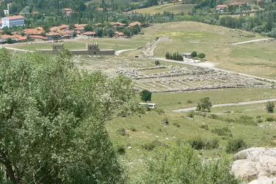
    From approximately 1650 BC, Hattuşa served as the Hittite capital and has been on the UNESCO World Heritage List since 1986. The ruins are situated near Boğazkale in Çorum Province, approximately two hours by car east of Ankara. City walls, the Lion and Sphinx Gates, the Great Temple, and the Yazılıkaya rock sanctuary reveal how the Hittites built and worshipped their gods.

    Sources & method

    • Photos: Wikimedia Commons, Unsplash, Google Maps. Each photo carries its credit.
    • Place data such as addresses and ratings comes from Google Maps.
    • The content is based on web research from public, traceable sources. How the content is made · The role of AI