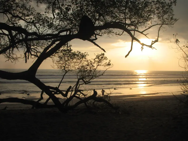
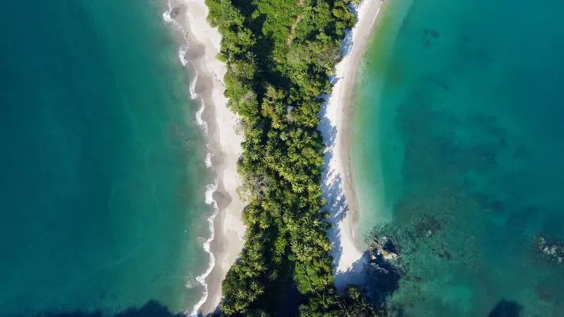
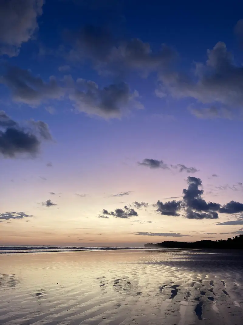
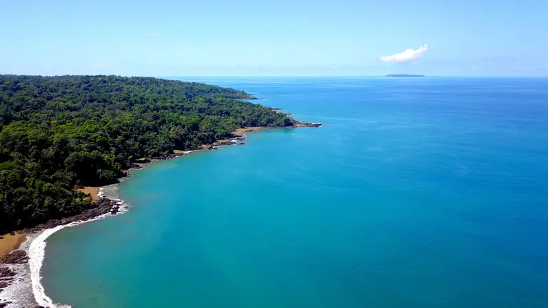
The route follows the Pacific coast from the dry beaches of Guanacaste, via the surf towns of the Nicoya Peninsula and Manuel Antonio National Park, to the rainforest of the Osa Peninsula. It is suitable for a 4x4 rental car and ends with a domestic flight back to San José.
17 Days / 16 Nights
December to April
7 stops
Why This Route?
For those primarily seeking beaches, surfing, and wildlife observation, this route covers the entire Pacific side, from the reliably dry months in Guanacaste to the primary forests of Corcovado.
Hidden Gems
Tide pools of Mal País at low tide
Ostional during an Arribada
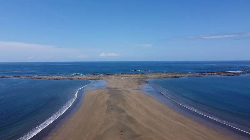
the whale tail sandbar of Punta Uvita at low water
Getting there and back
Open jaw: start and end are in different places
Arrival
Flight · Liberia (LIR)The Daniel Oduber Quirós Airport near Liberia is convenient for Guanacaste; rental cars are right at the airport.
Departure
Flight · San José (SJO)From Puerto Jiménez, SANSA and Green Airways fly to San José; alternatively, you can drive the long route back via the coastal road.
Itinerary
Stop 1 • 1 Night
Liberia
City
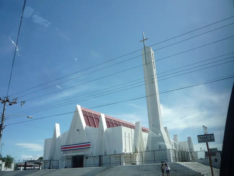
Liberia, the capital of Guanacaste province, lies about 215 kilometers northwest of San José on the Interamericana. Most visitors arrive via Daniel Oduber Quirós International Airport, using the city as a base for exploring Pacific coast beaches and Rincón de la Vieja National Park.Liberia earned its nickname "White City" from the light gravel that once paved its streets and the whitewashed colonial houses. Some of these, along with the 19th-century Ermita de la Agonía, are preserved in the city center.With over 50,000 inhabitants, the city serves as a commercial and administrative hub, not a resort. Around Parque Central, you'll find banks, supermarkets, and simple restaurants, making Liberia a practical stopover before or after onward travel.If you don't head straight to the coast after landing, half a day is enough for a stroll through the center. For Rincón de la Vieja, the city is a good base; access to the Las Pailas sector takes about an hour.
Arrival and detour to Rincón de la Vieja National Park
3 Sights
2 Restaurants
Culture and History
From Wayside Stop to Provincial CapitalLiberia emerged in the 18th century at a crossroads between Rivas, Bagaces, and Nicoya, where travelers rested in the shade of Guanacaste trees; the spot was initially named Guanacaste and received the name Liberia in 1854. The Ermita de la Agonía, built from adobe starting in 1854 and completed in 1865, is now a protected monument.Sabaneros and July 25thCattle raising has shaped the province for generations. The Museo del Sabanero, in a colonial house from 1833, displays the cattle herders' tools. On July 25th, Liberia celebrates the annexation of Guanacaste to Costa Rica with parades, folk dances, cattle shows, and marimba music.
Tamarindo is Guanacaste's most famous beach resort on the Pacific Coast of the Nicoya Peninsula, about an hour's drive from Liberia International Airport. You come here for the wide surf beach, the mangroves of the Tamarindo Estuary, and the Las Baulas Marine National Park, where leatherback sea turtles lay their eggs.From a small fishing village, it transformed into a resort starting in the mid-1980s; the 1994 surf film The Endless Summer II made its waves internationally famous. Today, surf schools, hotels, restaurants, and bars line the main road parallel to the beach.The main beach, Playa Tamarindo, with its consistent waves, is well-suited for beginner surfers. To the south lies the quieter Playa Langosta, while to the north, beyond the river mouth, is Playa Grande, which belongs to the national park.Tamarindo is heavily tourist-oriented and more expensive than smaller coastal towns. However, you'll find a wide selection of accommodations, restaurants, and evening entertainment here. The best time for swimming is during the dry season, from November to April.
Surfing, mangroves in Estero Tamarindo
4 Sights
3 Restaurants
Culture and History
From Fishing Village to Surf TownUntil the 1980s, Tamarindo was a small fishing village in the Santa Cruz canton. With the first holiday bungalows from 1985, the film The Endless Summer II, and the expansion of flight connections to Liberia in the early 2000s, the town grew rapidly. Many newcomers now shape its character, and you hear English everywhere.Protection of Leatherback TurtlesFounded in 1991, the Las Baulas Marine National Park includes Playa Grande, Ventanas, and Langosta beaches, as well as the Tamarindo Estuary, which is protected as a Ramsar wetland. From October to May, leatherback turtles come ashore here to lay their eggs.
Nosara is a district on the west coast of the Nicoya Peninsula in Guanacaste Province, about two and a half hours' drive from Liberia Airport and approximately five hours from San José. You come here to surf at Playa Guiones, for yoga classes, and due to its proximity to Ostional's turtle beach.Nosara consists of several parts: the Costa Rican village about six kilometers inland by the Río Nosara, the quieter Playa Pelada, and the area around Playa Guiones, where most accommodations, cafés, and surf schools are located. A tangle of unpaved roads and paths connects the neighborhoods.In the 1960s, a US entrepreneur bought the coastal land to subdivide it for a residential development. The project failed, but the landowners founded the Nosara Civic Association, which to this day ensures that a forested strip is preserved along the beaches. That's why you barely see any buildings from the water.Playa Guiones is an approximately six-kilometer-long sandy beach with very consistent waves, where beginners and advanced surfers can surf. Since the founding of the Nosara Yoga Institute in 1994, the place has also been a center for yoga and retreats.
Playa Guiones; Ostional Turtle Sanctuary
4 Sights
Village, Beach and Community
Two WorldsIn the village of Nosara, you'll find supermarkets, sodas, and the daily life of the Costa Rican population, who live off agriculture, fishing, and increasingly tourism. At the beaches, however, the scene is shaped by relocated North Americans and Europeans, surfers, and yoga travelers. Nosara is considered one of the country's oldest expat communities.Yoga and Nature ConservationThe Nosara Yoga Institute, founded in 1994, has trained teachers from all over the world; many accommodations offer courses. At the same time, the community is strongly committed to protecting the coast and forest, for instance in the small Nosara Biological Reserve on the riverbank.
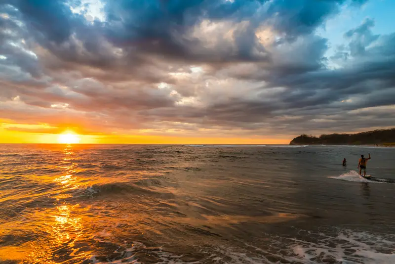
Santa Teresa is a surf town on the Pacific coast in the south of the Nicoya Peninsula, about five hours from San José by car and ferry. You come for the waves, which offer something for almost everyone from beginner to pro, and for the sunsets, where half the town gathers on the beach in the evenings.The town stretches along a single main road that runs from the fishing village of Mal País in the south, through Playa Carmen and Playa Santa Teresa, up to Playa Hermosa in the north. Most cafés, restaurants, and surf schools are located between Playa Carmen and Playa Santa Teresa.Until a few decades ago, Santa Teresa was a remote village that lived off agriculture, cattle farming, and fishing. Today, tourism is the main source of income for most families, and the audience is international: surfers, yoga tourists, digital nomads.For swimming, the beaches are often less suitable due to the surf and currents. At low tide, tidal pools form between the rocks of Santa Teresa and Mal País, where you can bathe; water shoes protect against the sharp stones.
Gravel roads, 4WD recommended; detour to Montezuma and Cabo Blanco
4 Sights
3 Restaurants
Surf Resort Life
From Fishing Village to Meeting PointMal País, at the southern tip, remains a small fishing village, while Santa Teresa has grown considerably in recent decades. In this compact space, Costa Rican families, European and North American expats, and surfers from around the world converge.The Sunset as a RitualAround 5 PM, the beaches fill up. Surfers catch the last waves, others sit in the sand and watch as the sun sinks into the Pacific. Afterwards, life shifts to the restaurants and bars along the main street.
Manuel Antonio is the small town on the Central Pacific coast south of Quepos, where the national park of the same name begins, approximately 157 road kilometers from San José. You come for the park, where rainforest borders directly on bright sandy coves and sloths, capuchin monkeys, and squirrel monkeys are often seen up close.The national park, founded in 1972, covers almost 2,000 hectares of land and a significantly larger marine area. Although it is one of the smallest national parks in the country, it attracts the most visitors: Between 2012 and 2022, approximately 4.4 million people visited. Four beaches are located within the park, including Playa Manuel Antonio and Playa Espadilla Sur, separated by a land bridge leading to the rock formation Punta Catedral.The town itself consists of hotels, restaurants, and tour operators along the winding road that leads from Quepos over the hill down to Playa Espadilla. You can visit the public Playa Espadilla in front of the park entrance without a ticket.Important for planning: The park is closed on Tuesdays and otherwise open from 7 AM to 4 PM; the beaches within the park close an hour earlier. Tickets are available exclusively online through the SINAC national park authority system and not at the entrance; they are limited and often sell out early on many days.
Paquera–Puntarenas ferry, then via Jacó; Park tickets online
4 Sights
Park, Animals and Rules
Protected Area Under PressureManuel Antonio exemplifies the conflict between nature conservation and tourism. To limit the strain, visitor numbers are capped, single-use plastic is banned, and bags are checked at the entrance. Food is not allowed, only water in reusable bottles; feeding or approaching animals is prohibited.Guided ExplorationMany visitors book a certified nature guide with a spotting scope, who spots sloths, snakes, or frogs in the foliage that you might easily overlook alone. Check if the entrance ticket is included in the tour price. The park is home to three monkey species: Mantled Howler Monkeys, Capuchin Monkeys, and the endangered Central American Squirrel Monkeys.
Uvita is a small town on Costa Rica's southern Pacific coast and the main gateway to the Marino Ballena National Marine Park. You come here for the whale tail beach of Punta Uvita and for whale watching boat tours; from San José, you'll reach it via the Costanera Sur in about three and a half to four hours.The town itself is situated along the coastal road and stretches from the main road into the hilly hinterland. Supermarkets, cafés, restaurants, and tour operators are close to each other, so those staying centrally can reach many places on foot. The beach and national park are just a few minutes away.The sea off Uvita is part of the Marino Ballena National Park. Humpback whales migrate past the coast from approximately July to October and from December to April; you can book tours with local providers. The Punta Uvita Tombolo can only be accessed at low tide, as the tides dictate daily life here.Uvita also serves as a great base for excursions along the Costa Ballena, for example, to beaches like Playa Ventanas or to the Nauyaca Waterfalls, which are about an hour's drive away.
Marino Ballena Marine National Park
4 Sights
2 Restaurants
Living on the Costa Ballena
A Place of ChangeUvita has grown significantly in recent years. Small sodas still serve Casado and fish, but now cafes with vegetarian and vegan options primarily attract travelers and new residents. Daily life follows the weather and tides, with many tours starting early.National Park and Marine ConservationMarino Ballena National Park, established in 1990, primarily covers marine areas. Whale watching is a key industry here. Follow park rules, take your trash, and bring your own drinks and snacks to the beach, as Playa Uvita has no beach bars.
Drake Bay (Bahía Drake) is a small bay on the northwest coast of the Osa Peninsula in Costa Rica's South Pacific. You come here for boat trips to Corcovado National Park and Isla del Caño, and for a place where rainforest and ocean meet directly.The main village is called Agujitas and has around 1,000 inhabitants. Accommodations, small sodas, and tour operators are spread along the bay and on the slopes above. According to tradition, the name originates from the English seafarer Francis Drake, who is said to have visited the bay in the 16th century.Most visitors stay for several nights and book guided tours: day trips by boat to Sirena Station or San Pedrillo in Corcovado, snorkeling and diving trips to Isla del Caño, and hikes through the forest. Note that Sirena Station is closed to visitors every year in October.A coastal path leads south from Agujitas, passing several coves until Playa San Josecito; en route, you cross the Punta Río Claro Wildlife Refuge. You should plan half a day for the entire route.
Boat trip from Sierpe; Corcovado only with licensed guide, Isla del Caño
3 Sights
2 Restaurants
Life in Drake Bay
A Village at the End of the RoadAgujitas is a small village where tourism, fishing, and agriculture shape daily life. Many guides are from the region and have known Corcovado for years. There are only a few restaurants; many guests eat at their accommodation. In the village's Sodas, you'll find local dishes and fresh fish.Living by BoatBecause the bay has no pier, boats land directly on the beach. Expect to get knee-deep wet when getting on and off, and pack your luggage accordingly. Tours usually start early in the morning, and the daily rhythm is dictated by light and tides.