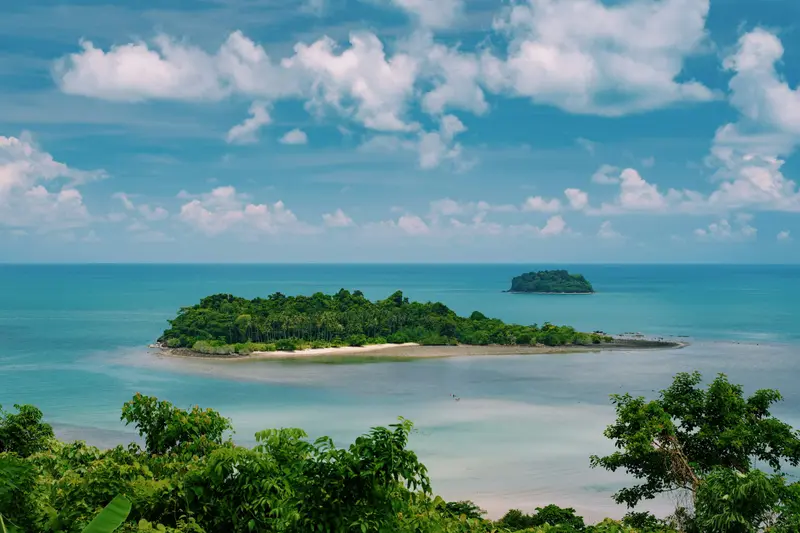
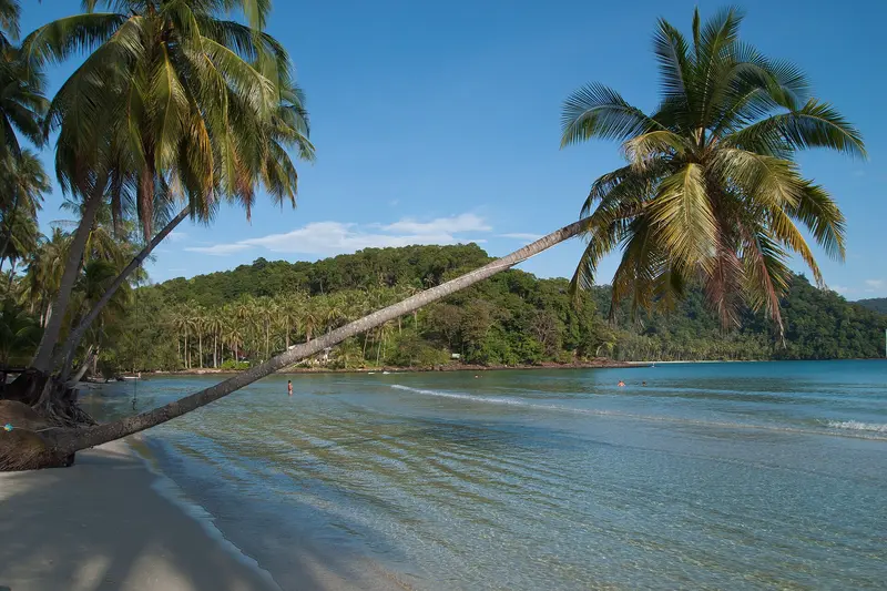
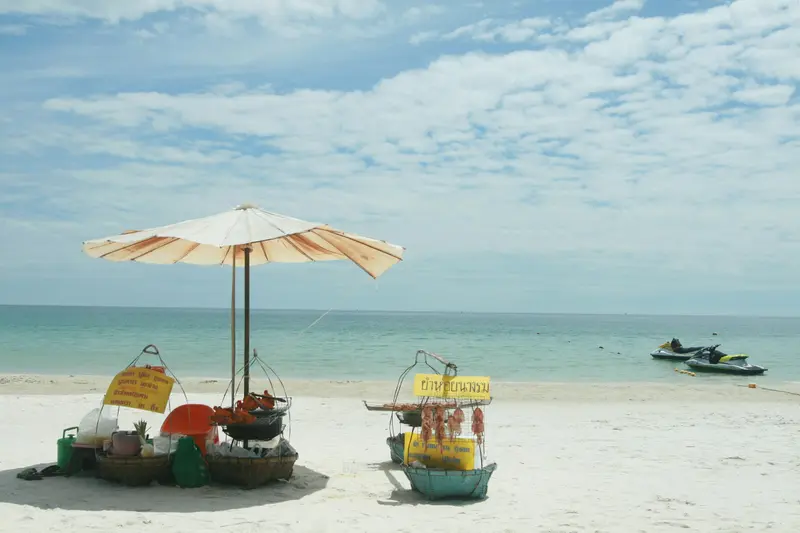
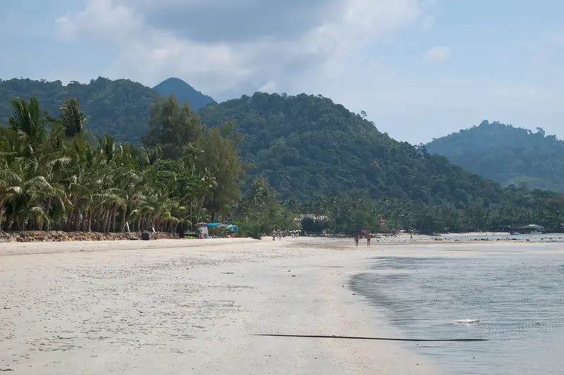
The East Coast stretches from Chonburi southeast of Bangkok, via Rayong and Chanthaburi, to Trat on the border with Cambodia. It is the coast conveniently reachable by land from Bangkok, without a domestic flight or an overnight train.
The East Coast stretches from Chonburi southeast of Bangkok, via Rayong and Chanthaburi, to Trat on the border with Cambodia. It is the coast conveniently reachable by land from Bangkok, without a domestic flight or an overnight train.The character changes quickly: Pattaya in the north is a large, loud beach resort with its own history, while Koh Chang and the islands off Trat are much quieter and largely national park. While sharing the sea with South Gulf islands like Koh Samui and Koh Tao, the region differs in access and travel season: getting here involves Bangkok, and the rainy season is different.
The East Coast stretches from the Gulf southeast of Bangkok to the Cambodian border, comprising the provinces of Chonburi, Rayong, Chanthaburi, and Trat. Its main characteristic is its proximity to the capital: Pattaya is about a two-hour drive away, making the region a popular weekend getaway for Bangkok families.The western part, around Chonburi and Rayong, is densely populated and industrialized, home to the large ports and factories of the Eastern Economic Corridor. The further east you go, the quieter it gets: Chanthaburi thrives on fruit cultivation and the gem trade, and far to the east, off the coast of Trat province, lie the islands Koh Chang, Koh Kood, and Koh Mak. Important for planning: The rainy season is roughly between May and October, during which many businesses on the islands close.
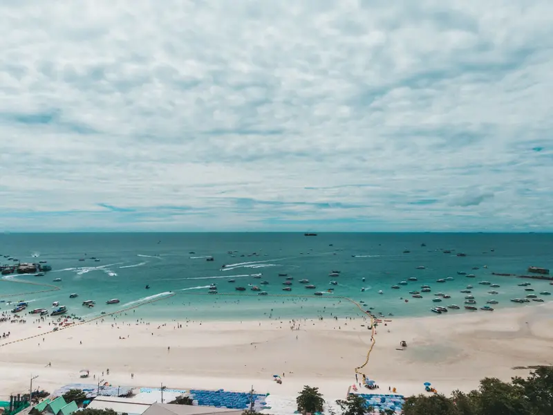
Koh Samet is located off the coast of Rayong province, approximately 220 kilometers southeast of Bangkok, making it one of the capital's most quickly accessible beach islands.
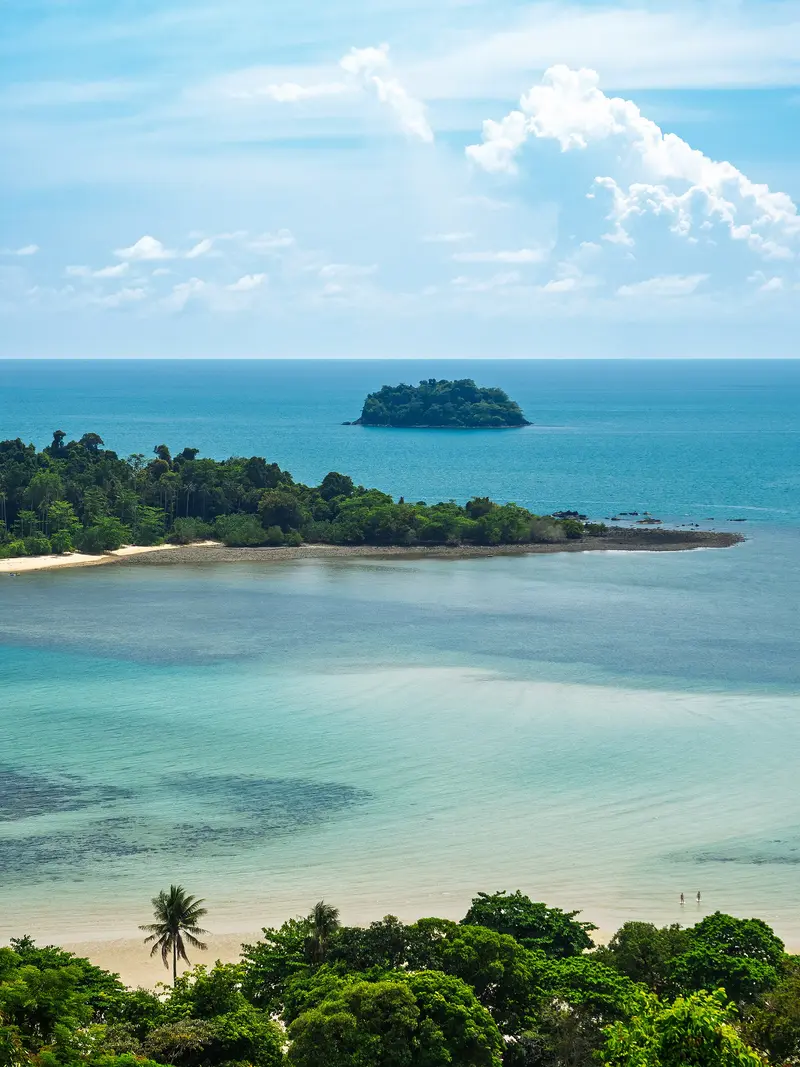
Koh Chang is situated in the east of the Gulf of Thailand, off Trat province and close to the Cambodian border. Covering approximately 210 square kilometers, it is one of the country's largest islands.
Pattaya, on the east coast of the Gulf of Thailand, was originally a fishing village. From 1959, US soldiers came here for recreation, and during the Vietnam War, it grew into a resort town.
Discover the most important sights and attractions
Tang2bar / Wikimedia Commons / CC BY-SA 4.0, mod.
Mu Ko Chang National Park
The National Park was established in 1982 and comprises Koh Chang and numerous smaller islands off Trat province. Koh Chang's interior is mountainous and forested, featuring waterfalls like Khlong Phlu and Than Mayom, accessible via short trails. An entrance fee is charged at the waterfall access points.
KittipatBoyd / Wikimedia Commons / CC BY-SA 4.0, mod.
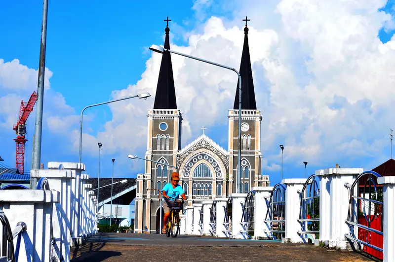
Chanthaburi Cathedral
The Cathedral of the Immaculate Conception on the Chanthaburi River is one of Thailand's largest Catholic churches. The neo-Gothic structure with two towers was built from 1904 to 1909 under the French missionary Augustin Peyrical, during the French occupation of the city. The congregation has Vietnamese roots, and stained-glass windows show, among others, Joan of Arc.
The island off the coast of Rayong is quickly accessible from Bangkok, making it a weekend destination. Almost the entire island belongs to Khao Laem Ya-Mu Ko Samet National Park, with an entrance fee charged on arrival. Most beaches are located on the east side. It's much quieter during the week. Ferries depart from Ban Phe.
Gem trading takes place daily on Si Chan Road, most vibrantly from Friday to Sunday between about 10 AM and 3 PM, when Thai and foreign traders examine rubies, sapphires, and cut stones at simple tables. The province itself was once an important source. Spectating is common; purchasing without expertise is not advised.
The East Coast's cuisine thrives on two things: seafood from the Gulf and fruit from the plantations of Chanthaburi and Rayong.
Fresh Seafood from the Gulf
In Ang Sila near Chonburi, in Rayong and in the fishing villages on Koh Chang, the catch goes straight to the table. Crabs, mussels and squid are often charged by weight; ask for the price per kilo beforehand.
Fruit from Chanthaburi
The province is an important cultivation area for Durian, Rambutan, and Mangosteen. During harvest season, stalls line the country roads directly by the plantations.
Chanthaburi Noodles
Sen Chan are thin, firm rice noodles from Chanthaburi, used to make a local variant of fried noodles.
Nam Pla Wan
Sweet fish sauce with palm sugar and shallots, served with green mango. A snack found at many markets.
Street food in Pattaya
Beyond the international dining scene, Pattaya boasts local Thai markets, like Thepprasit Market, with prices significantly lower than those on the beachfront.
Best Time to Visit
When is the best time for your trip?
November
December
January
February
March
26–28°C·12–57 mm(little rain)
From November to March, the East Coast is dry and comparatively mild. This is the time when all businesses on the islands off Trat are open and ferries to Koh Chang, Koh Kood, and Koh Mak run on a full schedule.
The East Coast follows the Southwest Monsoon, and thus has a different rhythm than the Gulf Coast to the South: The rainy season here is roughly between May and October, while on Koh Samui, these are precisely the drier months.This strongly affects the islands off Trat. Many accommodations and restaurants on Koh Chang, Koh Kood, and Koh Mak close entirely during the rainy season, and boat connections to the smaller islands are thinned out or canceled in rough seas. April is the hottest month of the year.The monthly values apply to Pattaya (Station Phatthaya) (climate normal values 1991 to 2020 of the World Meteorological Organization (WMO)). Off Trat and Koh Chang, it rains much more: The Trat station measures approximately 4,900 mm per year, Pattaya approximately 1,100 mm, and in July, Trat averages well over 1,000 mm.
Seasons
Jan
Feb
Mar
Apr
May
Jun
Jul
Aug
Sep
Oct
Nov
Dec
Low season
High season
Dry season
Wet season
Best Time to Visit
▶Show detailed monthly data
Month
Temp (°C)
Rain (mm)
January
26.5
16
February
27.3
20
March
28.3
47
April
29.4
68
May
29.4
121
June
29.0
132
July
28.6
104
August
28.5
91
September
27.9
214
October
27.2
224
November
27.1
57
December
26.4
12
Culture and Economy on the East Coast
The East Coast is heavily industrialized. The Eastern Economic Corridor concentrates automotive and petrochemical plants, the deep-sea port of Laem Chabang, and U-Tapao Airport in Chonburi, Rayong, and Chachoengsao. This shapes the landscape: factory sites lie between the beaches.Chanthaburi breaks from this pattern. The province was formerly an important source of rubies and sapphires, and gemstones are still traded in the city today. Vietnamese Catholics arrived in several waves, first in the 19th century fleeing persecution. France occupied the city from 1893 to 1905, during which time the neo-Gothic cathedral on the river, one of Thailand's largest Catholic churches, was built. The province is also an important growing region for durian and other tropical fruits.Pattaya became a recreation spot for US soldiers during the Vietnam War. The red-light sector that grew out of this still exists today, but stands alongside a city that is simultaneously a retirement residence, a family destination, and a convention location.
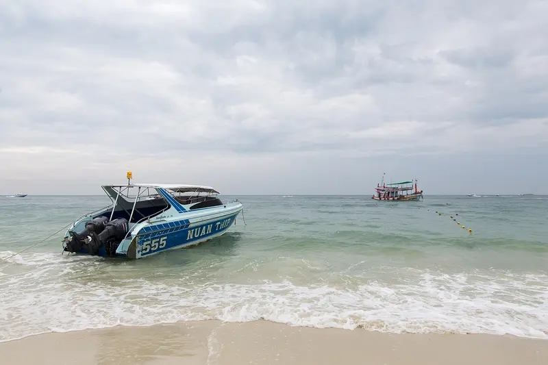
Arrival and On the Go
The East Coast is easily reachable from Bangkok overland.From Bangkok, buses depart, among other places, from Ekkamai Terminal to Pattaya, Rayong, and Trat. The journey to Pattaya takes about two hours, depending on traffic; to Trat, it's considerably longer. Minibuses are faster but more cramped.Airports: U-Tapao near Pattaya and the small Trat Airport shorten travel time, the latter especially for Koh Chang.To the Islands, ferries depart from the piers near Laem Ngop for Koh Chang; the car ferry takes about 30 to 40 minutes. Boats to Koh Kood and Koh Mak depart from Laem Sok, less frequently outside of peak season.Locally, Songthaews operate on fixed routes, forming a dense network in Pattaya. Rental cars and scooters are common, but on Koh Chang, some inclines are very steep.Travel Season: The rainy season on the East Coast is approximately between May and October, with the dry and most pleasant period between November and February. On the islands off Trat, many accommodations and restaurants close during the rainy season, and boat services may be cancelled in rough seas. Current safety information can be found at the Auswärtigen Amt.