Fernweh: Home
    ExploreTravel GuidesPlan a tripMy tripLast visited
    de|en
    All Places & RegionsAll highlightsAbout FernwehFAQPrivacy PolicyImprint
    ExploreTravel GuidesPlan a tripMy tripLast visited
    • Overview
    • Places in the region
    • Eat & drink
    • Food culture
    • Culture
    • Getting around
    • Round trips
    • Nearby
    West MacDonnell Ranges

    Australia

    West MacDonnell Ranges

    Region

    The West MacDonnell Ranges, known as Tjoritja in Arrernte, stretch approximately 160 km west of Alice Springs.

    by Felix Gillen

    1. Home
    2. Destinations
    3. Australia
    4. Red Centre
    5. West MacDonnell Ranges
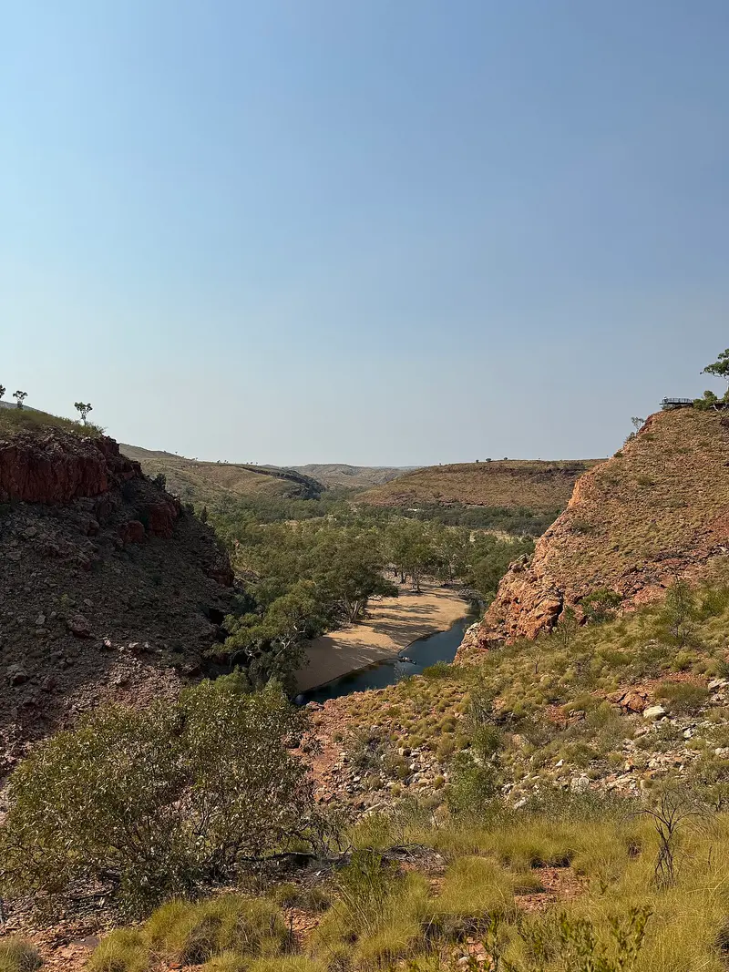
    The West MacDonnell Ranges, known as Tjoritja in Arrernte, stretch approximately 160 km west of Alice Springs. Between the parallel mountain ranges are gorges with permanent waterholes, including Simpsons Gap, Standley Chasm, Ellery Creek Big Hole, and Ormiston Gorge.The Namatjira Drive provides access to most destinations via a sealed road, while the Larapinta Trail leads on foot over the ridgeline.
    The West MacDonnell Ranges are a series of parallel mountain ranges west of Alice Springs, protected within the Tjoritja / West MacDonnell National Park. Rivers like the Finke River have carved gorges into the ranges, where permanent waterholes are sustained.The main stops along Namatjira Drive are Simpsons Gap, Standley Chasm, Ellery Creek Big Hole, the Ochre Pits, Ormiston Gorge, and Glen Helen Gorge. To visit several gorges, plan a full day or stay at one of the park's campsites.The best time is from May to September. Summers are very hot; hikes should then take place early in the morning.

    Sights in West MacDonnell Ranges

    Discover the most important sights and attractions

    Standley Chasm / Angkerle Atwatye

    Standley Chasm / Angkerle Atwatye

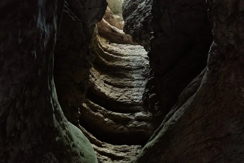
    Standley Chasm, known in Arrernte as Angkerle Atwatye, is a chasm only a few meters wide, located approximately 50 km west of Alice Springs. The path to it leads about 1.2 km through a creek bed lined with cycads and eucalypts. Around midday, the sun shines directly into the chasm, making its walls glow red. The site belongs to the Iwupataka Land Trust, and admission is paid at the café.

    Open in Google Maps
    Simpsons Gap / Rungutjirpa

    Simpsons Gap / Rungutjirpa

    Simpsons Gap, known as Arrernte Rungutjirpa, is located about 18 km west of Alice Springs and is the most quickly accessible gorge in the Ranges. A short path leads to the waterhole in the gap. In the early morning and late afternoon, Black-footed Rock-wallabies often appear on the rocks. A sealed bike path connects the gorge with the town.
    Open in Google Maps
    Ellery Creek Big Hole / Udepata

    Ellery Creek Big Hole / Udepata

    The Ellery Creek Big Hole, in Arrernte Udepata, is a deep, permanent waterhole against a rock face with a sandy beach. It is one of the most popular swimming spots in the West MacDonnell Ranges. The water is very cold even in summer, so do not swim alone or too far out. There is a basic campsite near the car park.
    Open in Google Maps
    Ormiston Gorge

    Ormiston Gorge

    The Ormiston Gorge, roughly 135 km west of Alice Springs, is the most impressive gorge in the Ranges: steep, red walls above a permanent waterhole where swimming is permitted. The short Ghost Gum Walk leads to a lookout, the longer Pound Walk through the basin beyond. The car park offers a kiosk and campsite.
    Open in Google Maps

    Restaurants & Cafés

    Glen Helen Homestead Lodge Restaurant

    Nestled within the Glen Helen Homestead Lodge, this restaurant offers you hearty Australian cuisine in a rustic atmosphere. Here, you can enjoy classics like Barramundi, succulent steaks, or traditional dishes featuring local ingredients, often with views of the surrounding landscape. It's the ideal place to refuel after an adventurous day in the Outback and experience the hospitality of the Northern Territory.
    Show on Google Maps

    Ormiston Gorge Kiosk

    Small kiosk at the Ormiston Gorge car park offering coffee, snacks, and simple meals. Opening hours are seasonal.
    Show on Google Maps

    Standley Chasm Cafe

    Cafe at the entrance to Standley Chasm with sandwiches, cakes, and coffee. Admission to the Chasm is also paid here.
    Show on Google Maps

    Food and Drink

    Local Specialities

    The West MacDonnell Ranges are a remote region, and food options are accordingly limited. You will find that a large portion of your meals will consist of self-supplied provisions. Good planning beforehand is therefore essential for your culinary experience in this unique landscape. Preparation and Self-Catering Since there are hardly any supermarkets or extensive shopping facilities in the West MacDonnell Ranges, you should stock up comprehensively before departing from Alice Springs. This applies to all food, drinks, and cooking utensils you will need for the duration of your stay. Purchase sufficient non-perishable foods such as pasta, rice, canned goods, dried fruit, and muesli bars. Fresh produce like fruit, vegetables, and meat require a good cooler or a refrigerator in your vehicle. Ensure you have enough fuel for your camping stove or sufficient firewood (if fires are permitted). Don't forget basic spices, oil, and coffee/tea. Limited Dining Options On The Go The few stops in the West MacDonnell Ranges offer only very basic provisions. Do not expect extensive menus or fine dining. The Glen Helen Homestead Lodge has a restaurant offering breakfast, lunch, and dinner. The cuisine is simple but hearty and a welcome change after a day of exploration. At Standley Chasm, you will find a small café selling light snacks, sandwiches, cakes, and drinks. Opening hours can vary, so check in advance. At other popular locations like Ellery Creek Big Hole or Ochre Pits, there are generally no food options. Small kiosks or roadhouses, common in more densely populated regions, are almost non-existent here. Drinking Water Supply The availability of clean drinking water in the West MacDonnell Ranges is critical. You are responsible for your own water supply. Plan for at least five litres of water per person per day, especially during hikes and in high temperatures. Some campgrounds have water tanks, but the water quality can vary. It is recommended to boil or filter water from these tanks. Purchase large jerry cans or refill your water bottles in Alice Springs. Pay attention to signage at rest areas; not all water is potable. By following these tips, you can ensure you are well-catered for in the West MacDonnell Ranges and can fully focus on exploring the breathtaking landscape.

    Culture & History

    Land of the Western ArrernteThe Ranges are part of the Western Arrernte's land. Gorges, waterholes, and rocks are connected to creation stories, many of which are sacred. At the Ochre Pits, ochre has been mined for generations for ceremonies and body painting. Standley Chasm is located on land managed by the Iwupataka Land Trust and charges an entry fee.The National Park is jointly managed by the Traditional Owners and the NT Parks administration. The painter Albert Namatjira, a Western Arrernte man from Hermannsburg, popularized the colours of this landscape in his watercolors from the 1930s onwards.

    On-site Adventures

    The Namatjira Drive is sealed up to Glen Helen and accessible with any rental car. From Alice Springs to Ormiston Gorge it's about 135 km. Most gorges have parking, toilets, and picnic areas.Food & Drink: There are only a few places along the way, such as the café at Standley Chasm and the kiosk at Ormiston Gorge. Take water and supplies from Alice Springs and depart with a full tank.Further Travel: From Tylers Pass, continue on the unsealed Mereenie Loop with a 4WD vehicle and permit to Kings Canyon.Heat: From October to March, plan hikes for the early morning hours.

    Round trips through this region

    Northern Territory & Outback

    Northern Territory & Outback

    The route runs from Alice Springs through the gorges of the West MacDonnell Ranges to Kings Canyon, Uluru, and Kata Tjuta. You then fly to Darwin in the tropical North, from where Kakadu and Litchfield National Parks are nearby.

    14 Days
    5 stops

    Nearby

    Alice Springs

    Alice Springs

    Alice Springs, Arrernte Mparntwe, is located almost exactly in the center of Australia, nestled between the MacDonnell Ranges. With around 25,000 residents, it is the largest town in the Outback and the starting point for tours to Uluru, Kings Canyon, and the West MacDonnell Ranges.The town itself is compact. Aboriginal art galleries, 1920s pioneer buildings, and the mostly dry riverbed of the Todd River define its center.
    Red Centre

    Red Centre

    The Red Centre, a desert region in the south of the Northern Territory, encompasses Alice Springs, Uluru, Kata Tjuta, and Kings Canyon. Red sand plains, rocky gorges, and waterholes in the MacDonnell Ranges define its landscape.For tens of thousands of years, the region has been home to the Arrernte, Anangu, and Luritja. Their culture is evident daily, in art centres, guided walks, and the rules at sacred sites.
    Watarrka National Park (Kings Canyon)

    Watarrka National Park (Kings Canyon)

    Watarrka National Park is located at the western end of the George Gill Range, approximately 300 km northeast of Uluru. Its most famous destination is Kings Canyon, a sandstone gorge with walls up to 100 m high and a spring-fed waterhole inside.The land is home to the Luritja people. Nearby are the Kings Canyon Resort and several farm-stay accommodations.
    Uluru-Kata Tjuta National Park

    Uluru-Kata Tjuta National Park

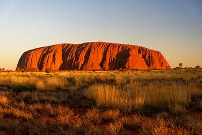
    The Uluru-Kata Tjuta National Park in the southwest of the Northern Territory protects Australia's two most famous rock formations: the monolith Uluru and the 36 domes of Kata Tjuta. The park is a UNESCO World Heritage site for both its natural and cultural heritage and is managed by the Anangu together with Parks Australia.The only accommodation nearby is the Ayers Rock Resort in the town of Yulara, about 20 km from Uluru.
    Purnululu National Park

    Purnululu National Park

    Purnululu National Park, located in the east of the Kimberley, protects the Bungle Bungle Range, a field of striped sandstone domes that only became known outside the region in 1983. Since 2003, the park has been a UNESCO World Heritage site.Access is via a 53 km long 4WD track; the park is only open during the dry season. Many visitors therefore arrive by scenic flight from Kununurra.

    Sources & method

    • Photos: Wikimedia Commons, Unsplash, Pexels. Each photo carries its credit.
    • The content is based on web research from public, traceable sources. How the content is made · The role of AI