ExploreTravel GuidesPlan a trip
    de|en
    All Places & RegionsAbout FernwehFAQPrivacy PolicyImprint
    ExploreTravel GuidesPlan a trip
    • Places in the region
    • Nearby
    Potsdam & Havelland

    Germany

    Potsdam & Havelland

    Region

    Havelland, a historic Brandenburg landscape, broadly encircles the Havel west of Berlin. Lakes and lowlands define the area; much fruit and vegetables are grown around Werder.

    1. Home
    2. Destinations
    3. Germany
    4. Potsdam & Havelland
    Havelland, a historic Brandenburg landscape, broadly encircles the Havel west of Berlin. Lakes and lowlands define the area; much fruit and vegetables are grown around Werder. Theodor Fontane dedicated a volume of his "Wanderungen durch die Mark Brandenburg" to the Havelland.Potsdam, Brandenburg's capital and visitor hub, directly borders southwest Berlin. Its palaces and parks became UNESCO World Heritage in 1990. The S7 S-Bahn line offers easy access from Berlin.

    More places in Potsdam & Havelland
    Potsdam

    Potsdam

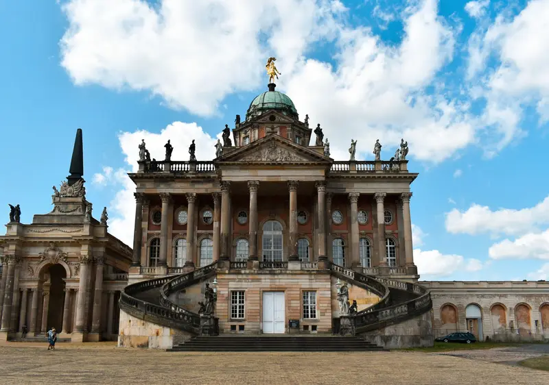
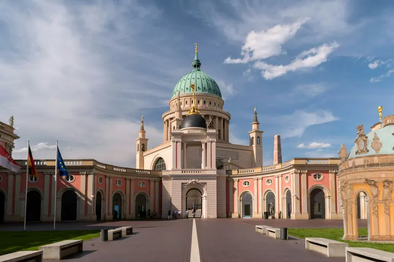
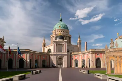
    Potsdam is Brandenburg's state capital and, with around 184,000 residents, the largest city in the state. It lies on the mid-course of the Havel in a landscape of forests and lakes, directly southwest of Berlin.Potsdam is famous for its palaces and gardens, recognized as a UNESCO World Heritage site in 1990: from Sanssouci and the New Palace to the New Garden with Cecilienhof Palace, where the Potsdam Conference was held in 1945. Other highlights include the Dutch Quarter with its brick houses and the Russian Colony Alexandrowka.
    Nearby

    Potsdam

    Potsdam

    Potsdam is Brandenburg's state capital and, with around 184,000 residents, the largest city in the state. It lies on the mid-course of the Havel in a landscape of forests and lakes, directly southwest of Berlin.Potsdam is famous for its palaces and gardens, recognized as a UNESCO World Heritage site in 1990: from Sanssouci and the New Palace to the New Garden with Cecilienhof Palace, where the Potsdam Conference was held in 1945. Other highlights include the Dutch Quarter with its brick houses and the Russian Colony Alexandrowka.
    Charlottenburg (City West)

    Charlottenburg (City West)

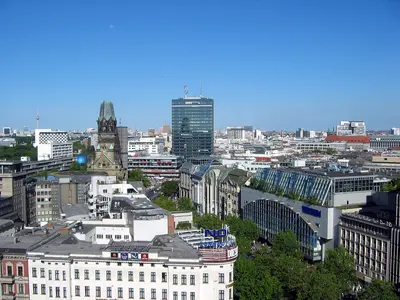
    Charlottenburg received city rights on April 5, 1705, and its name in honour of Queen Sophie Charlotte; in 1920, the city became part of Greater Berlin. After 1945, the area around Bahnhof Zoo, Breitscheidplatz, and Kurfürstendamm developed into City West, the new centre of West Berlin, because the historic city centre was located in the Soviet sector. Its landmark is the ruin of the Kaiser Wilhelm Memorial Church, whose tower was not demolished after citizen protests.You stroll along the Kurfürstendamm with its flagship stores and theatres, visit the Zoological Garden and the Memorial Church, and end your evening at Savignyplatz, where restaurants, bars, jazz clubs, and bookstores cluster. Through Charlottenburg run the U-Bahn lines U1, U2, U3, U7, and U9; S-Bahn trains of the Stadtbahn stop at Bahnhof Zoologischer Garten and Savignyplatz, as do regional trains at Zoo.
    Berlin

    Berlin

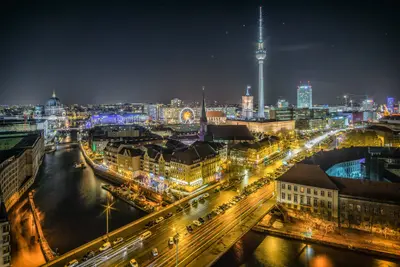
    With approximately 3.66 million inhabitants, Berlin is Germany's largest city and has been the federal capital since reunification in 1990; the federal government and the Bundestag have been based here since 1999. The Spree flows through the city from east to west, its banks are home to the Government District, Museum Island, and the East Side Gallery.Few cities tell the story of the 20th century so powerfully: On Bernauer Straße, you see the former border strip, at the Brandenburg Gate, the symbol of unity. Additionally, there are three opera houses, the museums of the World Heritage Museum Island, and districts like Kreuzberg, Friedrichshain, and Prenzlauer Berg, known for their bars, restaurants, and nightlife.
    Kreuzberg

    Kreuzberg

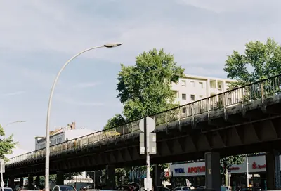
    Kreuzberg is a district in the Friedrichshain-Kreuzberg borough, named after the 66-meter-high Kreuzberg hill in Viktoriapark, where Schinkel's National Monument for the Liberation Wars has stood since 1821. During the time of the Berlin Wall, the eastern part, SO 36, was enclosed on three sides and became the hub of the alternative movement and squatting in the 1970s and 1980s. Today, around 160,000 people live here, many with Turkish roots, and its nightlife and cultural scene are well-known far beyond Berlin.During the day, you can visit the Jewish Museum or the German Museum of Technology, climb the Kreuzberg hill in Viktoriapark, or meet up at the Admiralbrücke over the Landwehrkanal, a popular meeting spot. In the evenings, the district's nightlife beckons. You can get here via U-Bahn lines U1 and U3, which largely follow the former Akzisemauer, with U6 and U8 running north-south, and also with U7; in total, there are 14 U-Bahn stations in the district.
    Scheunenviertel & Hackescher Markt

    Scheunenviertel & Hackescher Markt

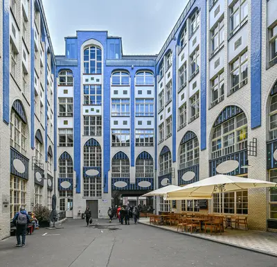
    Das Viertel rund um den Hackeschen Markt heißt historisch Spandauer Vorstadt und liegt im Ortsteil Mitte zwischen Spree, Friedrichstraße und Torstraße; den Teil östlich der Rosenthaler Straße nennt man Scheunenviertel. Ab 1685 wurden hier Straßen angelegt und Parzellen an Berliner Bürger und Hugenotten verkauft, 1712 bekam die Vorstadt mit der Sophienkirche ihre eigene Pfarrkirche. Heute steht das Gebiet als Ensemble unter Denkmalschutz und gilt als der größte und am besten erhaltene historische Stadtteil Berlins.Du bummelst durch die acht Höfe der Hackeschen Höfe, schaust an der Oranienburger Straße zur Kuppel der Neuen Synagoge hinauf und ziehst durch die Auguststraße, die für ihre Galerien bekannt ist. Am Bahnhof Hackescher Markt halten die S-Bahn-Linien S3, S5, S7 und S9 sowie die Trams M1, M4, M5 und M6.