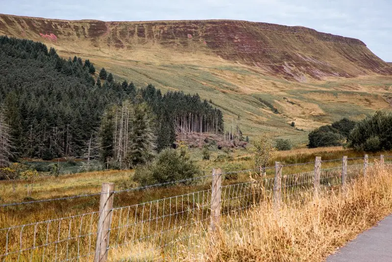
Bannau Brycheiniog, known as Brecon Beacons until 2023, is located in South Wales and consists of four distinct mountain ranges of Old Red Sandstone. The characteristic shape is uniform throughout: gently sloping southern slopes and abruptly dropping northern faces, carved out by glaciers. The highest point is Pen y Fan at 886 metres.The reversion to the Welsh name was a deliberate decision by the park authorities: Beacon refers to signal fires and thus to fossil fuels, which no longer seemed appropriate given the park's climate goals. Bannau simply means peaks.To the south, Waterfall Country around Ystradfellte is a zone where limestone and sandstone meet; several waterfalls cascade over rock steps, and behind Sgwd yr Eira, one can walk through. Beneath these lie extensive cave systems. The entire park is designated as an International Dark Sky Reserve, where the Milky Way is visible to the naked eye on clear nights.
Sights in Bannau Brycheiniog (Brecon Beacons)
Discover the most important sights and attractions
1Pen y Fan
Pen y Fan, at 886 metres, is the highest point in Southern Britain. Its flat, table-like summit and sheer north face are typical of the sandstone mountains of the Bannau: glaciers only scoured the north side, while the south slopes remained as uniform ramps.The shortest route from Storey Arms on the A470 takes around 90 minutes and is a wide, well-trodden path. More appealing is the ascent via the ridge from Cwm Gwdi or the circuit over Corn Du and Cribyn. The British Army has used the area for decades for Special Forces selection marches; the Fan Dance across this mountain is part of the standard programme. The weather here changes quickly, and fog is common.
Sgwd yr Eira, the waterfall of snow, is located in Waterfall Country near Ystradfellte and is the most famous in the region. Its unique feature is the walkable path behind the curtain of water: the water plunges over a hard sandstone layer, beneath which softer rock has been eroded, creating a hollow. Shepherds once drove their sheep through here to cross the river.Access is via an approximately one-hour walk from Gwaun Hepste car park, partly involving steep wooden stairs. The ground is wet and slippery year-round, so sturdy footwear is essential. On the Four Waterfalls Walk, Sgwd yr Eira, Sgwd Clun-Gwyn, and two other falls can be combined into one hike.
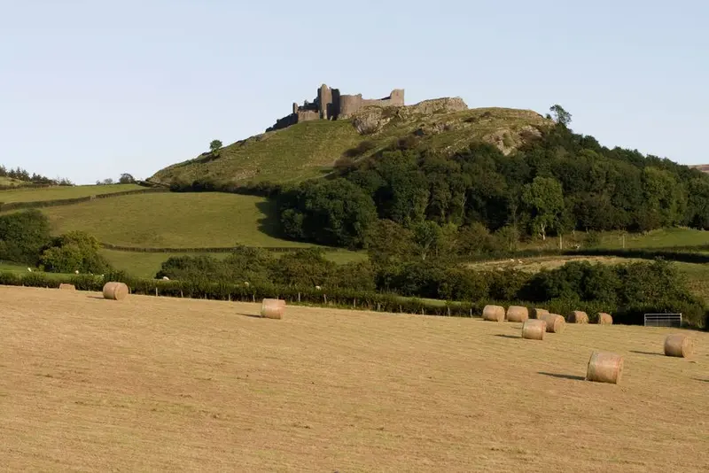
Carreg Cennen stands on a limestone cliff at the western edge of Bannau Brycheiniog that drops 90 metres vertically to the south. Its location makes the castle South Wales' most impressive ruin, though considerably smaller than the royal castles to the north.The present walls date from the late 13th century, predated by older Welsh structures. In 1462, Yorkist troops, 500 strong and armed with pickaxes, systematically rendered the site unusable. Notably, an arched passage leads from the southeast corner into a natural cave in the rock; it is accessible but pitch black, so a torch is essential. Prehistoric skeletons and Roman coins were found within the cave.
These places are nearby — perfect for additional days or a day trip.
Cardiff
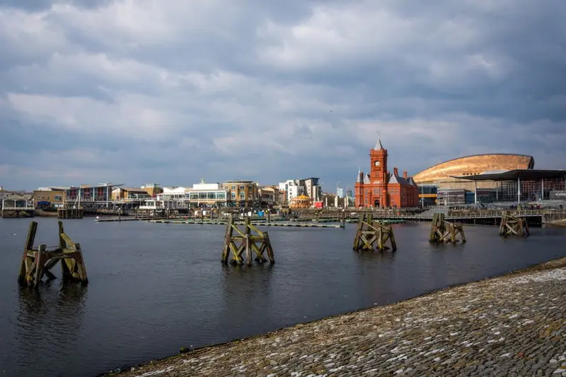
Cardiff has only been the official capital of Wales since 1955, having been an insignificant coastal town until the 19th century. Coal from the valleys to its north then transformed the city into the world's largest coal port. The Bute family, controlling the docks and mines, was for a time considered Britain's richest family.This wealth is reflected in the opulently designed Cardiff Castle and the Coal Exchange in the Bay, where the first million-pound contract was allegedly signed in 1904. After coal exports ceased, the docks fell into disrepair; since the 1990s, Cardiff Bay has been transformed by a dam into a freshwater basin and revitalized with cultural buildings like the Wales Millennium Centre.The city centre is compact and easily walkable, crisscrossed by covered Victorian shopping arcades. On rugby match days at the Principality Stadium, located right in the city centre, Cardiff becomes a single human tide.
Wales
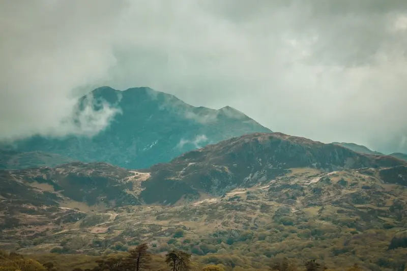
Wales, at just over 20,000 square kilometers, is smaller than Hesse, yet it boasts three national parks, five mountain ranges, and a continuously accessible coastline. The country was conquered by England in 1284 and formally incorporated in 1536, but it has retained its language: About a fifth of the population speaks Welsh, significantly more in the northwest. All place signs are bilingual, and since 2023, the national parks officially bear their Welsh names.Mountains, Coast, CastlesThe north is dominated by Eryri, formerly Snowdonia, home to the 1,085-meter-high Yr Wyddfa. To the south lie the Bannau Brycheiniog, formerly Brecon Beacons, with their sweeping sandstone ridges. In between stretches thinly populated Mid Wales. The Wales Coast Path, since 2012, spans over 1,400 kilometers around the entire country, the first such project worldwide. Wales also boasts the highest density of castles in Europe: Around 600 sites, many from Edward I's campaign.Industry and SongThe valleys south of Merthyr Tydfil supplied a significant portion of the world's coal production in the 19th century. While mining disappeared in the 1980s, its culture has endured: The male voice choirs, rugby enthusiasm, and the Eisteddfod festival trace their origins back to this period and older bardic traditions. The former industrial facilities of Blaenavon and the Slate Landscape of Northwest Wales are now on the World Heritage List.When to VisitWales is among the rainiest regions of Great Britain, with over 3,000 millimeters falling annually on the western slopes of Eryri. May to September are the most reliable months. In the mountains, the weather changes quickly, so waterproof clothing is a year-round necessity, not a luxury.
Castle Combe
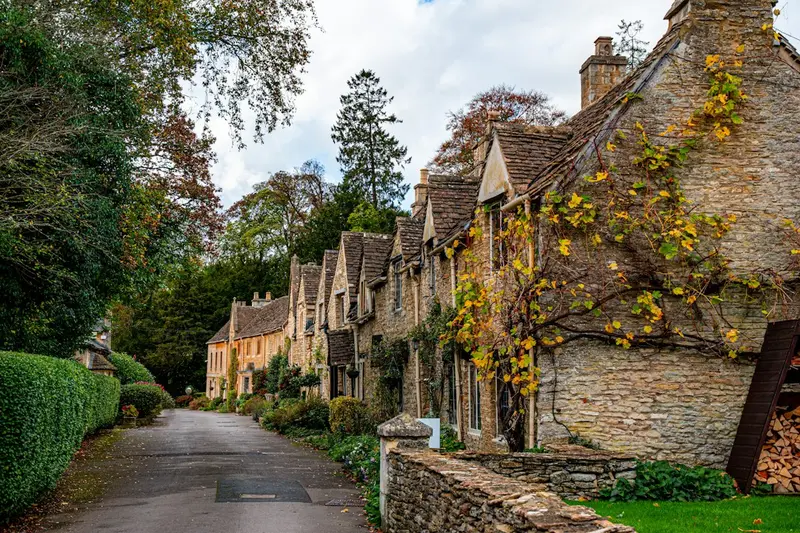
Castle Combe, often hailed as one of England's most beautiful villages, is nestled in the Cotswolds and captivates with its unspoiled aesthetic. Here you'll find historic stone houses that blend harmoniously into the landscape, and the River Bybrook gently winding through the valley. Main attractions include the historic 14th-century Market Cross and St. Andrew's Church with its unique faceless clock tower. The village has preserved its character for centuries, having been a wool trade hub from the 17th to 19th centuries and later largely spared from modern developments. Explore the narrow lanes and discover small bridges that define the village's charm. For a peaceful experience, a visit outside peak season is recommended, ideally on a weekday morning. Parking is limited, so early arrival or using public transport is advisable.
Bibury
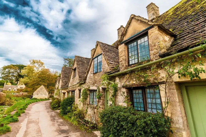
Bibury, located in the heart of the Cotswolds, is considered the epitome of a traditional English village. Here you will find the world-famous Arlington Row, a picturesque row of 17th-century stone cottages that once served as weavers' cottages and are now a national monument. The idyllic River Coln flows gently through the village and feeds the historic Bibury Trout Farm, one of Britain's oldest fish farms. The architecture reflects the region's rich history, with St. Mary's Church serving as further testament to its Anglo-Saxon origins. For an authentic experience away from the largest crowds, a visit in the early morning hours or outside the summer months is recommended. A stroll along the river offers insights into the pristine nature and rural culture of this special place.
Cotswolds
The Cotswolds, a region of exceptional natural beauty in Southwest England, enchant you with their gentle, green hills and picturesque villages of honey-coloured stone. This idyllic landscape is the perfect place to escape daily life and enjoy British rural romance to the fullest.