Fernweh: Home
    ExploreTravel GuidesPlan a tripMy tripLast visited
    de|en
    All Places & RegionsAll highlightsAbout FernwehFAQPrivacy PolicyImprint
    ExploreTravel GuidesPlan a tripMy tripLast visited
    • Neighborhoods & highlights
    • Eat & drink
    • Food culture
    • Culture
    • Getting around
    • Accommodation
    • Plan trip
    • Nearby
    Ikaria

    Greece

    Ikaria

    CityCulture

    Ikaria is one of the world's five so-called Blue Zones, where a striking number of people live past 90.

    by Felix Gillen

    1. Home
    2. Destinations
    3. Greece
    4. North Aegean Islands
    5. Ikaria
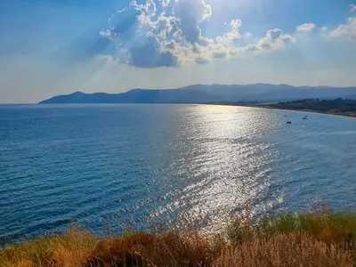
    Ikaria is one of the world's five so-called Blue Zones, where a striking number of people live past 90. The island between Samos and the Cyclades has few large hotel complexes; instead, it offers mountain villages, hot springs, and summer festivals that last until morning.You come for hiking on old mule tracks, for swimming on the north coast around Armenistis, and for the Panigyria. Schedules and opening hours are handled more casually here than elsewhere.

    Sights in Ikaria

    Discover the most important sights and attractions

    1Archaeological Museum Agios Kirykos

    The small Archaeological Museum in the main town of Agios Kirykos houses island finds: ceramics, tools, coins, and grave stelae, spanning from prehistoric to Roman Imperial times. Key discoveries include those from ancient Oinoe near Kampos and Cape Drakano in the east.Its most famous piece is a grave stele from the Classical period. The collection is compact and can be viewed in under an hour, with labels provided in both Greek and English.The museum is centrally located, just a few minutes from the port. Opening hours are short and vary seasonally, so it's worth checking the local notices upon arrival.
    Open in Google Maps

    2Nealia Beach

    Nealia is located on the east coast near Therma and is one of the bays primarily visited by locals. The beach consists of light pebbles, the water drops off quickly and is consequently clear.There is no infrastructure: no sunbeds, no canteen, no shade. Access is via an unpaved path, the last section is on foot.You must bring water, sun protection, and provisions. With a north wind, there are noticeable waves in the bay, then the south of the island is the better choice.
    Open in Google Maps

    3Chalasmena Therma, the destroyed baths

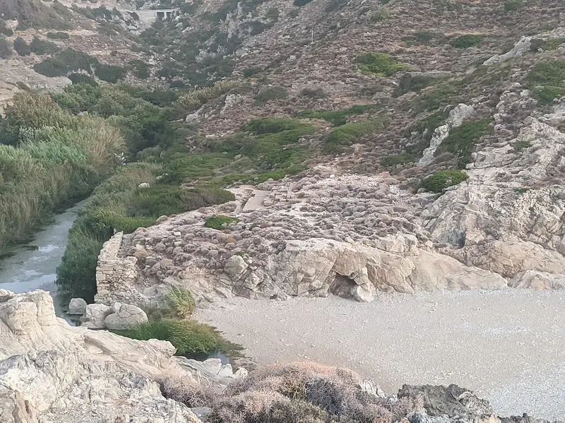
    East of Therma are the remains of a bathhouse, which has been open to the water since its destruction. Hence the name Chalasmena Therma, the destroyed baths. Within the remaining walls, pools are preserved, holding hot spring water that mixes with seawater.The springs around Therma are radon-rich; their temperature varies depending on the point of emergence. Bathing takes place without supervision or entrance fee.Access is via an unpaved path from the edge of the village; bathing shoes are recommended due to the slippery stones. Locals usually stay only briefly in the hot water.
    Open in Google Maps

    4Spring Athanato Nero

    The spring Athanato Nero, meaning immortal water in English, is one of the cold water springs in the south of the island and takes its name from local tradition. It contrasts with the hot thermal springs further east and provides cool drinking water directly from the rock.The spot is unassuming: a contained outlet, a bench, a few trees. Locals stop here and fill canisters, as they do at many springs on the island.It's worth bringing an empty bottle. Signage for the spot is minimal; it is located on the road between Agios Kirykos and the island's interior.
    Open in Google Maps
    Nas and the Temple of Artemis

    5Nas and the Temple of Artemis

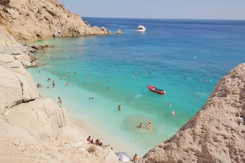
    Nas, on the northwest coast, was in antiquity the last sheltered anchorage before the open sea; its name derives from the Greek word for temple. Above the bay lie the foundations of a sanctuary of Artemis Tauropolos, where seafarers made sacrifices before continuing their journey.Below, the Chalaris river flows into the sea at a pebble bay. Even in summer, freshwater collects in rock pools there, and a path leads upstream into the gorge.The descent from the road takes about ten minutes via stairs. A few tavernas line the edge with views of the bay, but there are no sun loungers. The current at the river mouth can be strong.
    Open in Google Maps
    Christos Raches

    6Christos Raches

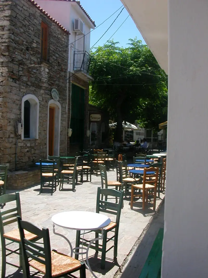
    Christos Raches is located at an altitude of around 700 meters between pines and oaks, and is the best-known of the mountain villages. It became known for its daily rhythm: many shops only open in the late afternoon and close long after midnight; some merchants hang a note on the door instead of opening hours.The village is the starting point for the marked hiking trails between the Raches villages; the old mule tracks are signposted and passable in day stages.On the square are Kafenia, where cards are played in the evenings. In winter, snow falls here, and in summer, it is noticeably cooler than on the coast.
    Open in Google Maps

    Dining & Drinks

    1

    Katafygi tis gefsis (Shelter of taste)

    The Katafygi tis gefsis (Refuge of Taste) is a family restaurant in the resort town of Therma, a good kilometer east of Agios Kirykos. It lies near the thermal baths and is suitable for a meal after bathing.
    Show on Google Maps
    2

    To Tzaki

    The To Tzaki (The Fireplace) is a restaurant on the coastal road west of Agios Kirykos, on the way to Therma Lefkadas. The cuisine is Greek.
    Show on Google Maps
    3

    Abariza Bistro

    The Abariza Bistro is a bistro and café in Agios Kirykos, the port town in southern Ikaria. You can enjoy coffee and light meals here during the day.
    Show on Google Maps
    4

    Meating Point

    The Meating Point is a restaurant in the spa town of Therma, east of Agios Kirykos. As the name suggests, meat dishes are the focus.
    Show on Google Maps

    Food and Drink

    Ikarian cuisine is vegetable-heavy, low in meat, and highly seasonal. Many ingredients come from private gardens; wild herbs play a more significant role than fish.

    Soufiko

    This vegetable stew, made from aubergines, courgettes, bell peppers, onions and tomatoes, is slowly braised in olive oil and eaten lukewarm or cold. Each family follows its own unique order for stacking the ingredients. The dish is emblematic of the diet that has earned the island its reputation.

    Goat from the Oven

    For Panigyri and holidays, goat meat is served, usually stewed for hours with herbs or spit-roasted. The animals graze freely on the rocky slopes; the meat is accordingly flavorful. In tavernas, you'll find it as a daily special, though not always on the menu.
    Pramnios Oinos

    Pramnios Oinos

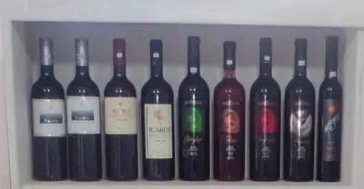
    The wine of Ikaria is traced back to Homer, who mentions a Pramnian wine. Today, small producers and and many households make dark, robust red wines from indigenous grape varieties. It is often served draught from the barrel; bottled wine is available from only a few wineries in the north.

    Foraged herbs and legumes

    Horta, meaning cooked wild greens with olive oil and lemon, is on almost every menu and changes with the season. Also popular are lentils, chickpeas, and fava beans, often as a standalone main dish. In the mountain villages, many households gather the herbs themselves.
    Ikarian Honey

    Ikarian Honey

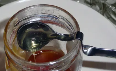
    The island's honey often comes from thyme, heather, or pine and is described as particularly dark and resinous. It is sold directly by beekeepers and in the village shops. Together with sour milk or yogurt, it is a typical breakfast.

    Ikaria's cultural heritage

    Exile and Self-RelianceIkaria was long distant from centres of power. In Byzantine times, the island served as a place of exile for imperial family members, while during the pirate centuries, residents retreated inland, building low stone houses barely visible from the sea. In July 1912, inhabitants expelled the Ottoman garrison and declared the Free State of Ikaria, and in November 1912, the island joined Greece. Under the Metaxas regime and during the Civil War, thousands of political prisoners were again exiled here – approximately 13,000, according to Wikipedia.Panigyria and Blue ZoneThe most important festivals are the Panigyria, held in honour of village saints. Organised by the village itself, their proceeds fund community projects. Live music with violin and lute is played, the Ikariotikos is danced, accompanied by goat meat and wine. Festivals begin late in the evening and often end at dawn. Ikaria gained international fame as a Blue Zone. Studies, such as the Ikaria Study of 2011, cite factors including a diet rich in vegetables and legumes, plenty of movement on steep terrain, and strong social networks.

    On-site adventures

    Car Rental is StandardIkaria is hard to explore without your own vehicle. Buses connect Agios Kirykos, Evdilos, and Armenistis, but run only a few times daily. Rental cars are available in Agios Kirykos, Evdilos, Armenistis, and at the airport; during high season, book in advance as the island's supply is limited. The main road over the mountain ridge is asphalted but narrow and winding; many access roads to beaches and mountain villages are gravel tracks. Petrol stations are rare, so fill up before longer trips.TaxiTaxis are available in Agios Kirykos and Evdilos. For trips between these two towns, you should agree on the fare in advance.On FootOld mule tracks connect the mountain villages; several are marked as the “Round of Rahes” circular route and can be walked in daily stages. Sturdy shoes and water are a must; shade is found primarily in the oak forests of the northwest. In summer, it's best to start early in the morning.

    Accommodations in Ikaria

    Find perfect stay in Ikaria

    Booking.com* (Affiliate link)
    Search Hotels
    Agoda* (Affiliate link)
    Search Hotels
    Airbnb
    Vacation Rentals

    * Affiliate link: if you book through it, we earn a small commission. The price stays the same for you.

    Campgrounds in Ikaria

    Find perfect campground in Ikaria

    Search via Google Maps
    Campgrounds nearby (15km)
    Camping.info
    Find Campgrounds
    Park4Night
    RV Parks & Camping

    Plan your trip to Ikaria

    Save places, build a route and plan your city trip, all in one place.

    1. 1
      Sunrise over alpine peaks and a sea of clouds
      1234

      Round trip

      12 days · 4 stops

      Saved

      Pick a route

      Pick a ready-made one or save places and plan your own.

      Open bookmarks
    2. 2

      Trip to Ikaria

      Live
      • 1Archaeological Museum Agios Kirykos3 days
      • 2Nealia Beach4 days
      • 3Chalasmena Therma, the destroyed baths5 days
      Budget

      Plan your trip

      The planner sorts stops, days and budget. Plan together in real time.

      Start trip planning
    3. 3
      9:41 No signal
      Ikaria
      Available offline

      Use it on the road

      Download the guide to your phone and use it on site, even offline.

    Nearby

    Patmos

    Patmos

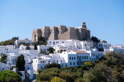
    Patmos, in the northern Dodecanese, has been a monastic island for nearly a thousand years: Byzantine Emperor Alexios I Komnenos granted it to the monk Christodoulos in 1088, and the monastery still shapes its architecture, land ownership, and daily rhythm.The Monastery, Cave of the Apocalypse, and the Chora have been collectively on the UNESCO World Heritage List since 1999. Large hotels and noisy nightlife are rare; the island appeals more to those seeking tranquility, hiking trails, and church history.
    Samos

    Samos

    Samos is located at its narrowest point, less than two kilometers from the Turkish coast, and is considered one of the greenest islands in the Aegean. Spread across nearly 480 square kilometers are the UNESCO World Heritage sites of Pythagoreion and Heraion, the 1,434-meter-high Kerkis mountain, and the wine terraces where the sweet Samos Muscat grows.You come for the ancient ruins, the mountain villages of Ambelos, and the pebble coves on the north coast. The island is large enough for a week, without repeating any routes.
    Leros

    Leros

    Leros is an island whose main ferry port is shaped by Italian Rationalism: Lakki, then Portolago, was built in the 1930s as a planned town for the naval base, with round arches, arcades, and wide avenues. Additionally, there are bunkers, tunnels, and a war museum dedicated to the Battle of Leros of 1943.There are also swimming coves, but the island is particularly worthwhile for people who want to read history in the streetscape and are looking for an island without large hotel complexes.
    Alaçatı & Çeşme

    Alaçatı & Çeşme

    Alaçatı and Çeşme are located at the tip of the peninsula of the same name west of İzmir, about 75 kilometers from the airport. Alaçatı is known for its stone houses, windmills, and windsurfing area, Çeşme for its castle and harbor. North of it, the shallow sandy beach of Ilıca entices with warm thermal water in the sea.
    Chios

    Chios

    Chios, just a few kilometers off the Turkish coast, is the only place in the world where mastic, mastic tree resin, is traditionally harvested. This trade resulted in fortified mastic villages, Genoese estates, and a Byzantine monastery with World Heritage status.As Greece's fifth-largest island, it still thrives on shipping, agriculture, and trade; large hotel complexes are rare. You come for the villages in the south, the mosaics of Nea Moni, and the pebble beaches on the south and west coasts.

    Sources & method

    • Photos: Wikimedia Commons, Unsplash, Pexels. Each photo carries its credit.
    • The content is based on web research from public, traceable sources. How the content is made · The role of AI