Fernweh: Home
    ExploreTravel GuidesPlan a tripMy tripLast visited
    de|en
    All Places & RegionsAll highlightsAbout FernwehFAQPrivacy PolicyImprint
    ExploreTravel GuidesPlan a tripMy tripLast visited
    • Overview
    • Places in the region
    • Round trips
    • Nearby
    Namaqualand

    South Africa

    Namaqualand

    Region

    Namaqualand is a barren semi-desert in northwestern South Africa between the Atlantic Ocean and the border to Namibia, about five hours' drive north of Cape Town.

    by Felix Gillen

    1. Home
    2. Destinations
    3. South Africa
    4. Namaqualand
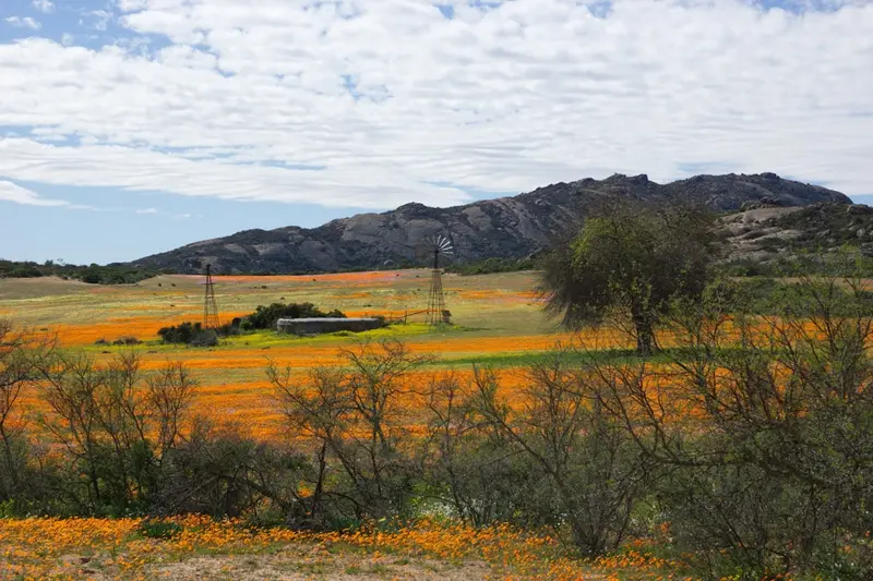
    Namaqualand is a barren semi-desert in northwestern South Africa between the Atlantic Ocean and the border to Namibia, about five hours' drive north of Cape Town. Following sufficient winter rains, the landscape transforms in spring, usually from mid-August to mid-September, into a sea of orange, yellow, and white wildflowers.
    How intense the bloom is and when it peaks depends on the rain and varies from year to year. The blossoms usually open only from late morning and only in sunshine, so it's best to drive with the sun at your back. The best-known areas are the Namaqua National Park with the Skilpad section near Kamieskroon and the Goegap Nature Reserve near Springbok. The main town is Springbok; Port Nolloth is on the coast. Historically, copper and diamond mining shaped the region; today, many Nama live from livestock farming. During bloom season, accommodations are scarce, so book early.
    Port Nolloth

    Place 1 of 2

    Port Nolloth

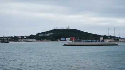
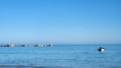
    Port Nolloth is a small harbour town on Namaqualand's cold Atlantic coast, about two hours west of Springbok. Copper was shipped here in the past, and later offshore diamond prospecting defined the town.

    Discover
    Springbok

    Place 2 of 2

    Springbok

    Springbok is the main town of Namaqualand on the N7, approximately 550 kilometres north of Cape Town and a good 100 kilometres before the border with Namibia.

    Discover

    Sights in Namaqualand

    Discover the most important sights and attractions

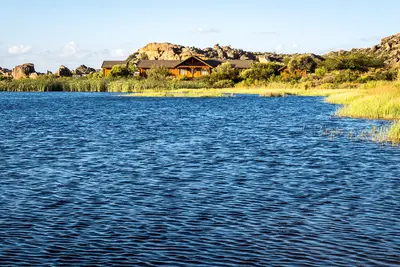
    Undulata Country Lodge

    3 Soetdoring Cres, Doringpoort, Springbok, 8240, Südafrika
    Open in Google Maps

    Kliprand Guest House (merged with Elkoweru)

    1 King St, Springbok, 8240, Südafrika
    Open in Google Maps

    Desert Rose Guest House

    40 Republiek St, Simonsig, Springbok, 8240, Südafrika
    Open in Google Maps
    National Park

    Namaqua National Park

    The National Park west of Kamieskroon is the most renowned wildflower destination. In the Skilpad section, a circular route traverses the flower fields, and a portion of the park stretches to the Atlantic Coast. During bloom, it is heavily visited; otherwise, it is very quiet.
    Open in Google Maps

    Round trips through this region

    Nordkap & Kalahari Roadtrip

    Nordkap & Kalahari Roadtrip

    The route leads from Upington to the Kgalagadi Transfrontier Park with red dunes, lions, cheetahs and oryx, then to the Augrabies Falls on the Orange and via Springbok to Namaqualand. Distances are long: plan full driving days, refuel at every chance.

    14 Days
    5 stops

    Nearby

    Springbok

    Springbok

    Springbok is the main town of Namaqualand on the N7, approximately 550 kilometres north of Cape Town and a good 100 kilometres before the border with Namibia. During the wildflower season, the small town is the most important base for excursions; the rest of the year, it's a practical stopover.
    Port Nolloth

    Port Nolloth

    Port Nolloth is a small harbour town on Namaqualand's cold Atlantic coast, about two hours west of Springbok. Copper was shipped here in the past, and later offshore diamond prospecting defined the town. Today, it's primarily a base for the Richtersveld in the north.
    Augrabies Falls National Park

    Augrabies Falls National Park

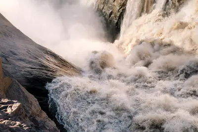
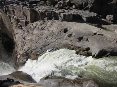
    In Augrabies Falls National Park in the Northern Cape, about 120 kilometers west of Upington, the Orange River plunges approximately 56 meters into an 18-kilometer-long granite gorge. Surrounding it is a barren semi-desert with smooth, polished rock domes, quiver trees, and rock hyraxes.
    Cederberg

    Cederberg

    The Cederberg, about 250 kilometres north of Cape Town, is a wilderness area of reddish sandstone, bizarre rock formations, and San rock paintings. Hikes to the Wolfberg Arch and the Maltese Cross are among the best-known tours; Rooibos is grown near Clanwilliam, unique to this region.
    Paternoster

    Paternoster

    Paternoster is a small fishing village on the West Coast, about two hours' drive north of Cape Town. Whitewashed cottages, colourful fishing boats on the beach, and the cold Atlantic Ocean define its scenery. The village is known for fresh fish, crayfish, and several excellent restaurants.

    Sources & method

    • Photos: Unsplash. Each photo carries its credit.
    • Place data such as addresses and ratings comes from Google Maps.
    • The content is based on web research from public, traceable sources. How the content is made · The role of AI