Fernweh: Home
    ExploreTravel GuidesPlan a tripMy tripLast visited
    de|en
    All Places & RegionsAll highlightsAbout FernwehFAQPrivacy PolicyImprint
    ExploreTravel GuidesPlan a tripMy tripLast visited
    • Overview
    • Places in the region
    • Videos
    • Round trips
    • Nearby
    Masovia

    Poland

    Masovia

    Region

    Masovia (Mazowsze), with approximately 35,600 km², is Poland's largest voivodeship by area and home to about 5.5 million inhabitants.

    by Felix Gillen

    1. Home
    2. Destinations
    3. Poland
    4. Masovia
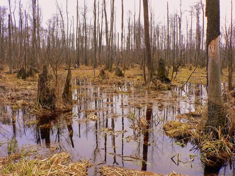
    Masovia (Mazowsze), with approximately 35,600 km², is Poland's largest voivodeship by area and home to about 5.5 million inhabitants. Located in the Central Polish Lowlands, the region spans both sides of the middle Vistula, also crossed by the Bug, Narew, Bzura, and Pilica. At its heart is the capital, Warsaw, surrounded by lowlands, forests, and river valleys. On the city's outskirts begins the Kampinos National Park with dunes and swamps, and to its west, in Żelazowa Wola, lies Fryderyk Chopin's birthplace.
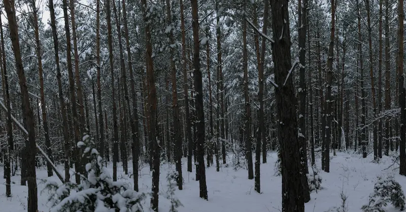
    Most travelers come to Masovia for Warsaw: The capital, with its reconstructed Old Town, the Royal Route to Wilanów, and museums such as POLIN and the Warsaw Uprising Museum, is the cultural and economic heart of the region. Other major cities include Radom in the south and Płock on the Vistula River. For green excursions, the Kampinos National Park is ideal. Established in 1959 and a UNESCO Biosphere Reserve since 2000, it offers approximately 360 km of marked hiking trails and a 145 km long cycle path through pine forests on sand dunes and wet meadows, home to moose. About 46 km west of Warsaw, the museum in Żelazowa Wola commemorates Chopin, who was born here in 1810. Chopin recitals are held there on weekends; the current schedule is published by the Fryderyk Chopin Institute.

    More places in Masovia

    Warsaw (Warszawa)

    Warsaw (Warszawa)

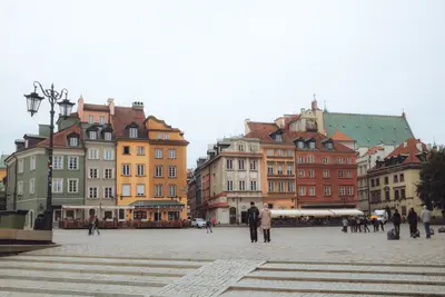
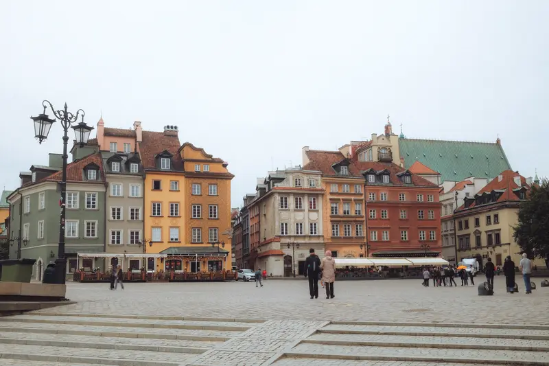
    Warsaw (Warszawa) has been the seat of the Polish royal court since 1596 and has been the country's capital again since 1918. The city on the Vistula has around 1.86 million inhabitants; in the metropolitan area, depending on the definition, 2.6 to 3.5 million people live. Its character is marked by discontinuities: After the Warsaw Uprising from August 1 to October 2, 1944, and the subsequent targeted destruction by the German occupiers, the city was largely uninhabitable. Afterwards, a mix of reconstructed facades, socialist classicism, and glass skyscrapers emerged around the Palace of Culture. The Old Town was rebuilt after the war according to historical plans, ceremoniously reopened in 1953, and recognized as a UNESCO World Heritage Site in 1980, precisely because of this reconstruction. From Castle Square with the Sigismund's Column and the reconstructed Royal Castle, the Royal Route leads south via Krakowskie Przedmieście and Nowy Świat, past aristocratic palaces, to Łazienki Park and further to the Baroque Wilanów Palace. On the right bank of the Vistula lies Praga, which was significantly less destroyed during the war than the left bank. In old factories like the Koneser complex on Ząbkowska street, you'll find eateries, cultural venues, and the Museum of Polish Vodka. On the left bank below the escarpment, Powiśle stretches along the Vistula with the Copernicus Science Centre and the University Library. Muranów, predominantly a Jewish quarter before the war and part of the ghetto from 1940, was largely rebuilt from the rubble of the ghetto after 1945; today, it is home to the POLIN Museum.

    Sights in Masovia

    Discover the most important sights and attractions

    Kampinos National Park (Kampinoski Park Narodowy)
    National Park

    Kampinos National Park (Kampinoski Park Narodowy)

    The National Park, founded in 1959 on Warsaw's northwestern outskirts, is approx. 385 km² and has been a UNESCO Biosphere Reserve since 2000. Pine-covered inland dunes alternate with swamps and meadows; its symbol is the moose. Around 360 km of marked hiking trails and an approx. 145 km cycling path access the area, with Palmiry Cemetery located in the forest.
    Open in Google Maps
    Chopin's birthplace in Żelazowa Wola
    Museum

    Chopin's birthplace in Żelazowa Wola

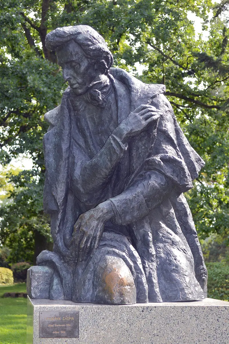
    Fryderyk Chopin was born in 1810 in the side wing of the manor house in Żelazowa Wola, about 46 km west of Warsaw. The museum is a department of the Chopin Museum of the National Chopin Institute. A park, established 1932-1939, featuring a Chopin monument by Józef Gosławski, surrounds the house. Chopin recitals are held on weekends; the institute publishes the performance schedule.
    Open in Google Maps

    Videos & Travel Reports

    The Warsaw You've Never Seen Before: Eva zu Beck's Secret Sights

    Warsaw-born travel vlogger Eva zu Beck guides DW Travel through her home city, from the Old Town and the Museum of Life under Communism to street art in the Praga district and a traditional…
    Round trips through this region

    Poland's Classics by Train

    Poland's Classics by Train

    Just under two weeks by train through Poland's major cities: from the capital Warsaw to Krakow, then on to Wrocław, to the brick city of Toruń, and finally to Gdańsk on the Baltic Sea. From Krakow, you can visit the Wieliczka Salt Mine and the Auschwitz-Birkenau Memorial and Museum as day trips; from Gdańsk, Sopot and Malbork Castle. PKP Intercity long-distance trains connect all stages directly, with the longest journeys lasting around three to three and a half hours. No car is needed for this route.

    12 Days
    9 stops
    Open jaw

    Nearby

    Warsaw (Warszawa)

    Warsaw (Warszawa)

    Warsaw (Warszawa) has been the seat of the Polish royal court since 1596 and has been the country's capital again since 1918. The city on the Vistula has around 1.86 million inhabitants; in the metropolitan area, depending on the definition, 2.6 to 3.5 million people live. Its character is marked by discontinuities: After the Warsaw Uprising from August 1 to October 2, 1944, and the subsequent targeted destruction by the German occupiers, the city was largely uninhabitable. Afterwards, a mix of reconstructed facades, socialist classicism, and glass skyscrapers emerged around the Palace of Culture. The Old Town was rebuilt after the war according to historical plans, ceremoniously reopened in 1953, and recognized as a UNESCO World Heritage Site in 1980, precisely because of this reconstruction. From Castle Square with the Sigismund's Column and the reconstructed Royal Castle, the Royal Route leads south via Krakowskie Przedmieście and Nowy Świat, past aristocratic palaces, to Łazienki Park and further to the Baroque Wilanów Palace. On the right bank of the Vistula lies Praga, which was significantly less destroyed during the war than the left bank. In old factories like the Koneser complex on Ząbkowska street, you'll find eateries, cultural venues, and the Museum of Polish Vodka. On the left bank below the escarpment, Powiśle stretches along the Vistula with the Copernicus Science Centre and the University Library. Muranów, predominantly a Jewish quarter before the war and part of the ghetto from 1940, was largely rebuilt from the rubble of the ghetto after 1945; today, it is home to the POLIN Museum.
    Podlachia

    Podlachia

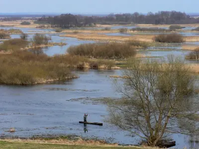
    Podlachia (Podlasie) is located in the far north-east of Poland, bordering Belarus. The regional capital is Białystok. For centuries, the region has been shaped by multiple cultures: Alongside the Polish majority, the Belarusian minority lives here, Orthodox churches stand beside Catholic ones, and until World War II, Jews constituted a large part of the population in many towns. For travellers, Podlachia is primarily a destination for nature experiences. In the south-east lies the Białowieża Forest with its European bison, north-west of Białystok is the vast marsh and river valley of the Biebrza, home to Poland's largest national park. In between are small towns like Tykocin on the Narew, whose history is closely tied to the region's Jewish heritage.
    Nikolaiken (Mikołajki)

    Nikolaiken (Mikołajki)

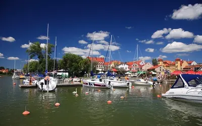
    Nikolaiken (Mikołajki) is a small town with over 3,300 inhabitants in the heart of the Masurian Lake District. The town lies at the narrow passage between Lake Tałty and Lake Mikołajki, which merge here, and only a few kilometres from Lake Śniardwy, Poland's largest lake. Nikolaiken was first mentioned in 1444; it received town privileges in 1726. Today, Mikołajki is one of Masuria's most important sailing centres. Along the shore are a marina, excursion boat piers, and houseboat rentals. The centre is small: restaurants and guesthouses line the market square and church square, and a pedestrian bridge, completed in 2016, connects the waterfront promenades across the narrow lake passage. About five kilometres to the east lies Lake Łuknajno, a nature reserve and UNESCO Biosphere Reserve with one of Europe's largest mute swan colonies. In the vicinity is also the Krutynia, a popular river for canoe trips.
    Allenstein (Olsztyn)

    Allenstein (Olsztyn)

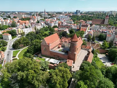
    Allenstein (Olsztyn) is the capital of the Warmian-Masurian Voivodeship and, with over 165,000 inhabitants, the largest city in the region. It is situated on the Łyna River (Alle) in historical Warmia and was founded in 1353. Above the Old Town stands the Castle of the Warmian Cathedral Chapter, where Nicolaus Copernicus lived from 1516 as the administrator of the chapter's estates. Since 1999, Allenstein has also been home to the University of Warmia and Masuria. Its core is the Old Town (Stare Miasto) with the High Gate, remnants of the medieval city wall, the late-Gothic Old Town Hall, and the Co-Cathedral of St. James. Surrounding it are the City Centre (Śródmieście) and districts such as Kortowo, Zatorze, and Jaroty; in total, the city is divided into 23 districts. Unusual for a large city is its proportion of water and forest: within the city limits lie more than ten lakes, the largest being Lake Ukiel with its city beach, plus a large municipal forest. Allenstein is therefore an excellent starting point for excursions into Warmia and the Masurian Lake District.
    Kazimierz Dolny

    Kazimierz Dolny

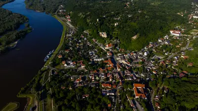
    Kazimierz Dolny is located on the east bank of the Vistula River, approximately 50 km west of Lublin, and has around 2,500 inhabitants. First mentioned in 1249, the town was a port for grain trade on the Vistula. After being burned by Swedish troops in 1656 and the end of the grain trade, it lost its significance. From the late 19th century onwards, painters, writers, and summer visitors brought new life to the town.The market square, with its Renaissance burgher houses of the Przybyła family, is the center. Not far away, the Celej House holds a section of the Vistula Museum. Other sights include the parish church, the castle ruins, and the Three Crosses Hill (Drei-Kreuze-Berg) offering views of the Vistula Valley. Around the town, loess gorges wind through the Kazimierz Landscape Park, accompanied by old granaries.The town and its surroundings have been protected as a Polish Historical Monument since 1994. On summer weekends it is busy; during the week and in the off-season, it is quieter.

    Sources & method

    • Photos: Wikimedia Commons, Unsplash. Each photo carries its credit.
    • Place data such as addresses and ratings comes from Google Maps.
    • Video reportages: The Warsaw You've Never Seen Before: Eva zu Beck's Secret Sights
    • The content is based on web research from public, traceable sources. How the content is made · The role of AI