Fernweh: Home
    ExploreTravel GuidesPlan a tripMy tripLast visited
    de|en
    All Places & RegionsAll highlightsAbout FernwehFAQPrivacy PolicyImprint
    ExploreTravel GuidesPlan a tripMy tripLast visited
    • Neighborhoods & highlights
    • Eat & drink
    • Food culture
    • Culture
    • Getting around
    • Accommodation
    • Plan trip
    • Nearby
    Çanakkale

    Turkey

    Çanakkale

    CityCulture

    Çanakkale lies at the narrowest point of the Dardanelles, on the Asian side of the strait connecting the Marmara and Aegean Seas. This lively student city is the starting point for the battlefields of Gallipoli and the excavations of Troy.

    by Felix Gillen

    1. Home
    2. Destinations
    3. Turkey
    4. Istanbul & Marmara
    5. Çanakkale
    Çanakkale lies at the narrowest point of the Dardanelles, on the Asian side of the strait connecting the Marmara and Aegean Seas. This lively student city is the starting point for the battlefields of Gallipoli and the excavations of Troy. Life unfolds on the Kordon, the waterfront promenade with the Trojan Horse, and in the alleys around the Clock Tower. Opposite, on the European side, are Kilitbahir and Eceabat, connected by short ferry rides.

    Sights in Çanakkale

    Discover the most important sights and attractions

    Çimenlik Fortress and Naval Museum
    Castle

    1Çimenlik Fortress and Naval Museum

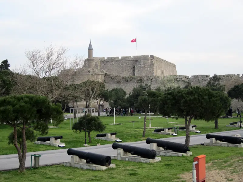
    The Ottoman fortress, formerly known as Kale-i Sultaniye, stands at the south end of the promenade. Sultan Mehmed II had it built in the 15th century. Today, the Dardanelles Naval Museum here displays the 1915 battles; in the park lies a replica of the minelayer Nusret.
    Open in Google Maps
    Anzac Memorial (Anzac Cove)
    Historic Landmark

    2Anzac Memorial (Anzac Cove)

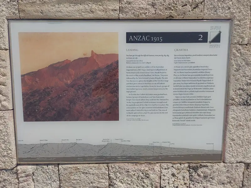
    In 1915, Australian and New Zealand troops landed on Gallipoli's west coast. On April 25th, Anzac Day, commemorations are held here for visitors worldwide. The site is part of the Gallipoli Historical Area; without a car or tour, it's hard to reach.
    Open in Google Maps
    1915 Çanakkale Bridge

    31915 Çanakkale Bridge

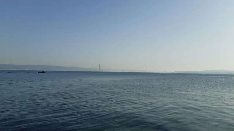
    The Dardanelles Suspension Bridge opened in March 2022. With a 2,023-meter span between its pylons, it was the world's longest suspension bridge upon completion. Since then, most traffic from Istanbul to Çanakkale crosses the strait via the bridge instead of by ferry.
    Open in Google Maps
    Kilitbahir Fortress
    Museum

    4Kilitbahir Fortress

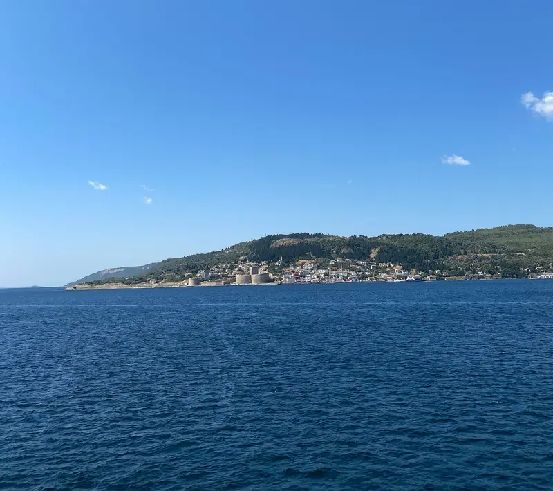
    The 1463 fortress on the European shore is the counterpart to Çimenlik at the narrowest point of the strait. The ferry from Çanakkale takes about 15 to 20 minutes. Parts of the site have been restored and are open as a museum.
    Open in Google Maps
    Çanakkale Martyrs' Memorial

    5Çanakkale Martyrs' Memorial

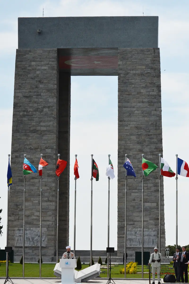
    The monument stands on Hisarlık Hill at the southern tip of the Gallipoli Peninsula over Morto Bay, at the entrance to the Dardanelles. It commemorates the Turkish soldiers who fell in the Battle of Gallipoli in 1915. The 41.7-meter-high structure on four pillars was designed by Feridun Kip, İsmail Utkular, and Doğan Erginbaş and opened on August 21, 1960. Adjacent to it are a Turkish military cemetery and the Tomb of the Unknown Soldier.
    Open in Google Maps

    Restaurants in Çanakkale

    1

    Sardalye

    Simple eatery on the corner of Aynalı Çarşı, named after the sardine. Particularly praised are the sardine rolls at low prices.
    Show on Google Maps
    2

    Yalova Restaurant

    Since 1940, a two-story fish restaurant on the Kordon. Fish often comes direct from the boats, with Meze.
    Show on Google Maps
    3

    Gülen Pide

    Pide bakery with two dining rooms near the ferry terminal. The menu offers pide with various toppings.
    Show on Google Maps

    Food and Drink

    Çanakkale's cuisine thrives on fish from the Dardanelles and cheese from the hinterland. Fish restaurants line the Kordon.

    Sardalya

    Sardines from the Dardanelles and Gulf of Saros, often grilled in vine leaves. Gelibolu is Turkey's sardine canning hub.

    Ezine Cheese

    White cheese from cow, sheep, and goat milk, from Ezine south of the city, with EU PDO.

    Peynir Helvası

    Dessert of unsalted white cheese, flour, and sugar, usually warm, sometimes with cinnamon or ice cream.

    Culture & History

    The StraitTwo Ottoman fortresses guard the Dardanelles at their narrowest point: Çimenlik in Çanakkale and Kilitbahir on the European shore. In 1915, they were intended to jointly stop enemy ships.Gallipoli 1915On the Gallipoli Peninsula, Ottoman troops fought against Allied forces, including soldiers from Australia and New Zealand, in 1915 and 1916. The southern part of the peninsula was declared a historical national park in 1973 and has been protected as a Historical Site (Çanakkale Savaşları Gelibolu Tarihi Alanı) since 2014. Around March 18th and April 25th, Anzac Day, the city is particularly crowded.Troy and FilmÇanakkale is the nearest major city to Troy. On the Kordon stands the wooden horse from the 2004 film 'Troy'.

    Travel & On the Move

    Getting ThereBus: Intercity buses connect Çanakkale with Istanbul, Bursa, and İzmir. Since 2022, buses from Istanbul have been using the 1915 Çanakkale Bridge.Flight: The airport is located three kilometers from the center, with flights from AJet departing from Ankara, more frequently in summer than in winter.Crossing the DardanellesFerries cross to Kilitbahir in about 15 minutes and to Eceabat in about 25 minutes. During strong southerly winds, known as Lodos, ferries are cancelled.Exploring GallipoliBuses run along the eastern side of the peninsula. For the battlefields on the west coast, you will need a car, a taxi, or a guided tour from Çanakkale or Eceabat.

    Accommodations in Çanakkale

    Find perfect stay in Çanakkale

    Booking.com* (Affiliate link)
    Search Hotels
    Agoda* (Affiliate link)
    Search Hotels
    Airbnb
    Vacation Rentals

    * Affiliate link: if you book through it, we earn a small commission. The price stays the same for you.

    Campgrounds in Çanakkale

    Find perfect campground in Çanakkale

    Search via Google Maps
    Campgrounds nearby (15km)
    Camping.info
    Find Campgrounds
    Park4Night
    RV Parks & Camping

    Plan your trip to Çanakkale

    Save places, build a route and plan your city trip, all in one place.

    1. 1
      Sunrise over alpine peaks and a sea of clouds
      1234

      Round trip

      12 days · 4 stops

      Saved

      Pick a route

      Pick a ready-made one or save places and plan your own.

      Open bookmarks
    2. 2

      Trip to Çanakkale

      Live
      • 1Çimenlik Fortress and Naval Museum3 days
      • 2Anzac Memorial (Anzac Cove)4 days
      • 31915 Çanakkale Bridge5 days
      Budget

      Plan your trip

      The planner sorts stops, days and budget. Plan together in real time.

      Start trip planning
    3. 3
      9:41 No signal
      Çanakkale
      Available offline

      Use it on the road

      Download the guide to your phone and use it on site, even offline.

    Nearby

    Troy

    Troy

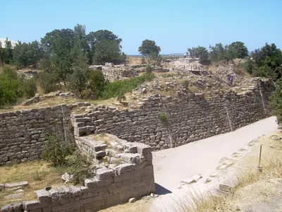
    Troy is located on Hisarlık Hill, about 30 kilometers southwest of Çanakkale, near the southern entrance of the Dardanelles. The excavation site reveals settlement layers spanning approximately 4,000 years and has been a UNESCO World Heritage site since 1998. The modern Troy Museum in the village of Tevfikiye complements the visit with its archaeological finds.
    Molyvos (Mithymna)

    Molyvos (Mithymna)

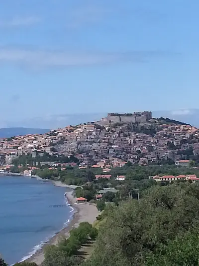
    Molyvos, officially Mithymna, is the best-known town on the north coast of Lesbos. Stone houses with red tiled roofs stretch from a small fishing harbour up to a medieval castle, from which the view extends across the strait to the Turkish coast.You come for the castle, the harbour tavernas, and the combination with Petra, Eftalou, and the beaches of the north coast. The town is ideal as a base for exploring the north of the island.
    Lesbos (Lesvos)

    Lesbos (Lesvos)

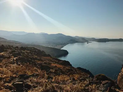
    Lesbos, at approximately 1,630 square kilometers, is Greece's third-largest island and still thrives on olive oil, ouzo, and sheep's cheese. Between Mytilini in the east and the Petrified Forest in the west lie extensive olive groves, two large bays, and a landscape that becomes increasingly barren and volcanic towards the west.You'll come for the ouzeries of Mytilini and Plomari, the mountain villages around Olymbos, the birdwatching at the Gulf of Kalloni, and the UNESCO Geopark in the west. For the entire island, you'll need at least a week.
    North Aegean Islands

    North Aegean Islands

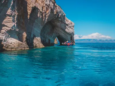
    The North Aegean Islands lie close to the Turkish coast and are among Greece's least crowded island groups. Lesbos, Chios, Samos, Ikaria, and Limnos are large enough for their own mountain ranges, wine regions, and port towns that remain inhabited even in winter. You travel here for mastic, ouzo, hot springs, and empty pebble coves, not for a postcard backdrop.
    Limnos (Lemnos)

    Limnos (Lemnos)

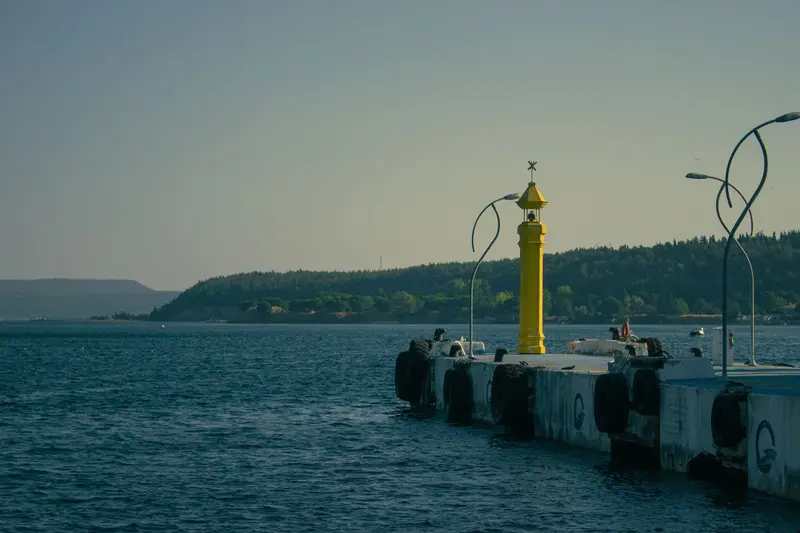
    Limnos is located in the northern Aegean, roughly halfway between Mount Athos and the Turkish coast. The island is volcanic, but only hilly: instead of high mountains, grain fields, vineyards, salt lakes, and dunes define the scenery.You come for the quiet sandy beaches, the wind for surfing, and the Early Bronze Age settlement of Poliochni, one of Europe's oldest urban sites. Plus, there's Myrina with its castle, Muscat wine, and Kalathaki cheese.

    Sources & method

    • Photos: Wikimedia Commons, Unsplash, Pexels, Google Maps. Each photo carries its credit.
    • Place data such as addresses and ratings comes from Google Maps.
    • The content is based on web research from public, traceable sources. How the content is made · The role of AI